-
 1966 Hits
-
 72.08% Score
-
 2 Votes
|
|
Mountain/Rock |
|---|---|
|
|
38.55633°N / 111.96206°W |
|
|
Sevier |
|
|
Hiking |
|
|
Spring, Summer, Fall |
|
|
9830 ft / 2996 m |
|
|
Overview
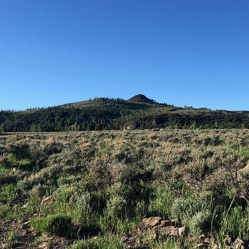
A shorter peak on the east side of the Sevier Plateau the stands over Koosharem Creek and the town of Koosharem. The hike is relatively easy and affords an incredible view of the region. A fire destroyed much of the forest on the north side of the peak so much of the hike is through dead and burnt trees with Aspen saplings.

Getting There
From Koosharem, take the Koosharem Canyon Road (FR076) west for 4.6 miles. Continue straight as it turns into FR086 (Monroe Mountain Road) for another 3.6 miles. Once to the north of the peak, just prior to entering the forest from the great meadow, turn right onto FR2424. This road requires higher clearance for about 0.4 miles as it dead ends at the edge of the rim overlooking the Koosharem Creek.
Route
From the end of the dirt road near the fencing, simply travel along the rim/ridge to the summit. Be careful with the occasional cluster of barbed wire on the ground from the fence that burned along with the pine forest.
Round trip Distance: 1.14 miles Elevation Gain: 330 feet
Red Tape
No permits or reservations required. Please practice "leave no trace" ethics.
When to Climb
Year-round but the best time is in the spring or fall.
Camping
There are several primitive sites in the area. Koosharem Campground about 2 miles west of the town on Koosharem Canyon Road is an option. Another option is Koosharem Reservoir.

