
-
 15161 Hits
-
 81.84% Score
-
 14 Votes
|
|
Route |
|---|---|
|
|
40.00690°N / 105.6883°W |
|
|
Hiking, Mountaineering, Scrambling |
|
|
Spring, Winter |
|
|
Half a day |
|
|
Class 3 |
|
|
Overview
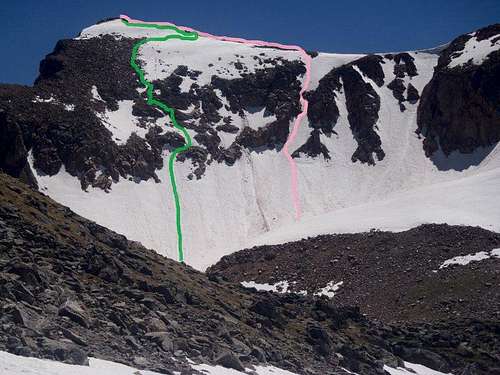 Ascent route in pink; Descent in green
Juliet Couloir is the southeastern-most of the snow routes on the northeast face of the graceful Mount Neva in the Indian Peak Wilderness. The route promises moderate snow and a moderate time commitment in the couloir. Rockfall is a menace so a helmet is mandatory. The rewarding views from the top of this route, coupled with the easy stroll to the summit, make this a memorable outing.
Roundtrip Distance: 9.5 miles
Net Elevation Gain: 2,700 feet
Snow Slope Angle: Moderate -- 40-45 degrees (depending on conditions – others report even higher angles at the exit some years)
YDS Class: Class 2 on the ascent; Class 3 (on the descent we chose)
Time Allowance: 5 hours moving at a moderate pace (excluding breaks)
Getting There
 Mount Neva directly ahead
Access for this route is via the Fourth of July Trailhead. The trailhead is accessible to most vehicles in dry conditions, though higher clearance would be greatly appreciated, and 4x4 or AWD will be needed in spring snow/mud conditions. This is a very popular trailhead, so arrive early for a parking spot!
From the town of Nederland:
Head south on Colorado Highway 119 for 0.6 miles. Turn west onto County Road 130, signed for Eldora. Follow the paved road past the high school, through the valley to the Town of Eldora, where the pavement ends. Continue for several miles past cabins to the end of the road. This is the trailhead.

Approach
 Note our bootpack up Juliet
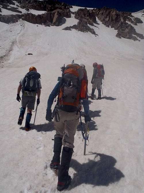
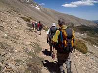
From Fourth of July Trailhead:
• Take the well-graded, obvious Arapaho Pass Trail (#904) for about 3 miles to Arapaho Pass (11,906 feet).
• Head left/west toward Lake Dorothy (briefly following the Caribou Pass Trail).
• Contour through the rocks (or snow) around the southeast side of Lake Dorothy (conditions permitting, a climber’s trail is visible).
• Leave the lake behind and roll up onto a shelf the northeast face of Mount Neva.
• From here, Juliet looms temptingly above you!
 At Arapaho Pass At Arapaho Pass |  Northeast face of Mount Neva Northeast face of Mount Neva | 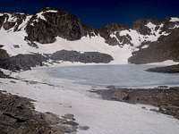 Lake Dorothy en route Lake Dorothy en route |
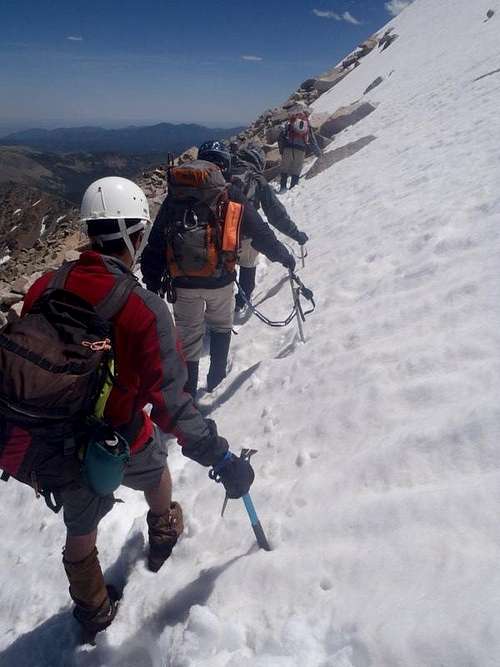
Snow Ascent
 Beginning the ascent
 Juliet's Apron Juliet's Apron |  Exiting the Couloir Exiting the Couloir |  Top of the couloir Top of the couloir |
• Juliet Couloir is the southeastern-most of the couloirs on the northeast face of Mount Neva.
• Begin the gentle warm-up across the snow apron at the base of Juliet.
• The couloirs soon steepens, narrows and twists pleasantly.
• Roughly halfway up the couloir, the snow steepens a bit more and you will likely encounter a band of rock and loose talus – use caution here!
• Above the talus the angle relents somewhat for a short while before steepening again for the remainder of the route.
• All too soon, the angle begins to ease and you find yourself spilled out onto the upper north ridge of Mount Neva. From here, the summit is a mild amble across boulders and tundra. The views from the top of surrounding Indian Peaks summits are astounding!
The 2012 High Park fire flares up!
 |  |  |
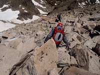
Descent
 Snow traverse on descent
Some parties opt to descend the 4th class North Ridge of Mount Neva. Our party opted for a direct (if messy) descent of the northeast face (Class 3).
• Backtrack briefly northbound along the ridge, looking for a suitable “put-in” point for your descent.
• Our party began our descent not far from the top of Juliet, then traversed southeast below the summit to locate the descent path that was best for our snow and rock conditions.
• Be prepared for loose blocks of rock, short segments of steep snow, some scrambling up to Class 3 and route-finding.
• Our party finished our descent back to the snow shelf with a short glissade.
• Hike back across the snow shelf and descend back toward Lake Dorothy to retrace your steps back to the parking area.
 Boulders on descent Boulders on descent |  Descending northeast face Descending northeast face | 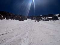 Looking up at the glissade Looking up at the glissade |
Essential Gear
 Mount Jasper and Mount Neva
• Ice ax (one tool is fine)
• Crampons
• Helmet (plenty of rock fall in the area)
• A lot of sunscreen and good sunglasses / goggles
 Leaving Arapaho Pass Leaving Arapaho Pass | 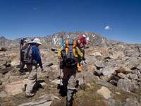 Back toward Arapaho Pass Back toward Arapaho Pass |