
|
|
Route |
|---|---|
|
|
37.87648°N / 121.93095°W |
|
|
Hiking |
|
|
Spring, Summer, Fall, Winter |
|
|
Less than two hours |
|
|
Easy with a few steep sections |
|
|
I |
|
|
Overview of Juniper Trail
The Juniper Trail is a short and easy way to climb Mount Diablo. There is an easier way, but what fun is it to park at the summit? It's also a great way to climb to the summit with young kids or if you don’t have enough time for a longer hike, as well as a good choice for the summer because summers at Mount Diablo can get very hot.The trail is one-way, 1.2 miles long, and has 720 feet of elevation change from the trailhead. The trail actually starts farther down the mountain, but there is no place to park at the start of the trail that I know of. It can be pretty steep at times, and is not well maintained. But it is well marked and really hard to lose, except for at the road crossings.
Approach
From the Sacramento or Stockton
Take Highway 4 to Pittsburg. Once in Pittsburg take the Railroad Ave exit. Head south on Railroad Ave. Continue on this road as it turns into Kirker Pass Road and then it turns into Ygnacio Valley Road in Clayton. When you reach Oak Grove Road turn left. Continue on Oak Grove Road past a roundabout until to reach North Gate Road. Turn left onto North Gate Road and follow it until the Diablo Valley Overlook near the Juniper CampgroundFrom the San Francisco or Oakland
Take Highway 24 to Walnut Creek and merge on to Interstate 680 North. Continue on the 680. Exit onto Ygnacio Valley Road. Drive North East until you reach Oak Grove Road. Turn Right onto Oak Grove and take until you reach North Gate Road. Turn left onto North Gate and follow it until the Diablo Valley OverlookFrom San Jose
Take Interstate 680 North to Danville. Once in Danville take the Diablo Road exit. Turn right onto Diablo Road and follow it until you reach the Mt. Diablo Scenic Blvd. When you get inside Mount Diablo State Park the roads name changes to South Gate Road. Follow South Gate Road until it connects with North Gate Road at the Junction Ranger Station. The road then becomes the Summit Road. Follow the Summit Road to Diablo Valley Overlook.North Gate and Summit Roads are narrow, winding, and slow that you share with many bicyclists. Park at the Diablo Valley Overlook at the Juniper Campground and begin hike at the Laurel Nook Group Picnic Area.
Route Description
The climb starts at the Laurel Nook Group Picnic Area. The first part is a steep climb to the junction with the Moses Rock Ridge Trail. Take the trail on the right, which meanders along the a ridge for awhile The Trailhead.
After a steep climb off the ridge you reach the Summit road. Look to the right and you will spot the trail about 50 feet on the other side of the road. The trail then climbs steeply along some Satellite dishes and antennas. When you top out on this climb you will reach the lower parking lot; hike through the parking lot towards the restrooms. When you get to the road you will notice the road forks - our trail continues right up the middle of those roads.
 The Summit Trail continues at the marker betweeen the two lanes.
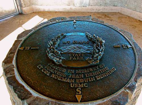
From here the trail is a short climb past another antenna farm. When you emerge from the trail, you will enter another parking lot. Walk through the parking lot and into the building. When you get into the building walk up the stairs. When you reach the top of the stairs look down to your left at the rock in the concrete. CONGRATULATIONS. You’re at the summit of Mount Diablo.

There is an observation deck on top of the Visitor Center, and picnic tables scattered around the summit area. However, there are plenty of great places along the trail that have great views and are free of the crowds to enjoy a lunch or a quiet break.
Essential Gear For the Juniper Trail
This is a very basic hike. I would recommend sunglasses, sunscreen, water and good sturdy hiking boots. I would also recommend snacks, but the Visitor Center on top sells snacks.Miscellaneous Information For Juniper and Mount Diablo
Mount Diablo State Park is open every day (except when the fire danger is Very High/Extreme) from 8:00 am to sunset. The entrance fee for vehicles is $6. Bicycles are not allowed on the trail. North Peak from the summit Visitor Center.
Even though this is an easy hike, there are dangers to it. Poison Oak is common along the trails. Ticks are also common and can be found in the grassy area, and they can carry Lyme disease. As long as you stay on the trail ticks shouldn’t be an issue. Rattlesnakes are also found on Mount Diablo as well as rare sightings of mountain lions. During the summer months Mount Diablo can get really hot. Carry plenty of water and be aware of the symptoms of heat stroke and heat exhaustion.
