
|
|
Route |
|---|---|
|
|
40.00000°N / 20.50000°E |
|
|
Hike |
|
|
Half a day |
|
|
Walk-up |
|
|
Approach
The trail is part of the 03 National Trail coming from Vikos gorge in the south and crossing Gamila from W to E.
Even though a branch of this trail starts from Megalo (=big) Papigo village (39.96778/20.7275), most people prefer to drive up to Mikro (=small) Papigo village (<1km E) and start from there.
Route Description
The trail passes through the centre of the village and is well marked. From the spring in the centre of the village you follow the left alley going uphill until you meet the Avragonia spring. From there the trail continues through a sparse oak forest and about one hour from the start you reach the Antalki spring. As the trail continues it passes through a mountain cypress forest (sparse also) and after Trafos spring it splits. The south branch leaves the 03 and leads to the Astraka plateau (and Astraka peak (39.96667/20.76667) or the Provatina cave).
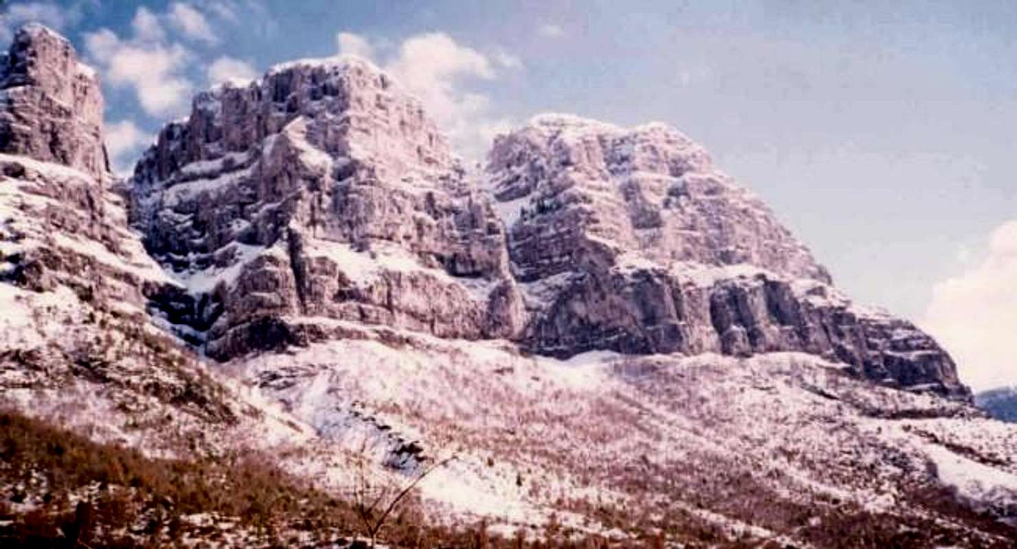
Throughout the first part of the trail, the view of the Papigo towers on your right is impressive.
The 03 continues straight, passes Krouna spring and through a wide ravine it leads to the refuge, which perches on the saddle between Astraka and Koutsomitros. (~3½ hours overall time)
Essential Gear
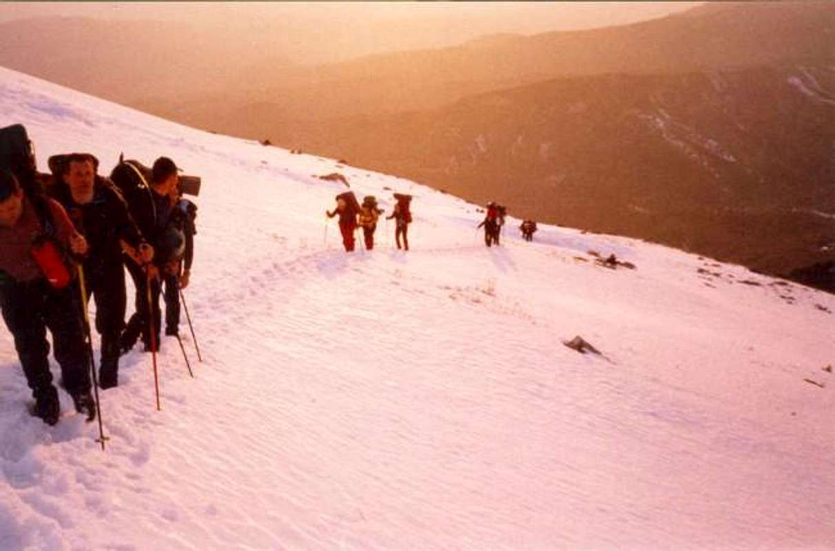
Crampons and ice-axe from November to early April. Trekking poles are always useful.
No need to carry a lot of water, as there are four springs on the trail.