
|
|
Route |
|---|---|
|
|
45.84921°N / 11.22266°E |
|
|
Hiking |
|
|
Winter |
|
|
Half a day |
|
|
EEI |
|
|
Overview
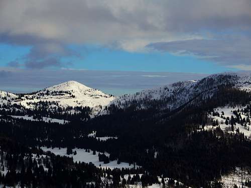
Monte Maggio winter loop
Monte Maggio 1853 m is located in the Coston dei Laghi mountain range, also known by the name of Corona di San Marco, in the Altipiani Trentini group (Lavarone, Folgaria, Luserna) included in the largest area of Prealpi Venete e Trentine. This mountain range is located on the border between the province of Vicenza in the municipality of Laghi and the province of Trento between the municipalities of Folgaria and Terragnolo.
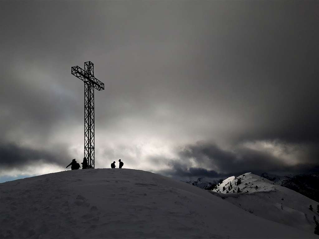
Despite being a minor peak, Monte Maggio is quite well known and popular in all seasons. The summit on which it's located a large metal cross can be reached from various starting points. It is also reached by the Sentiero della Pace, connecting Passo Coe with Passo della Borcola, which coincides in this area with the E5 (European path).
Towards the south the mountain is connected with the Coston dei Laghi 1873 m and the Monte Borcoletta 1759 m.The mountain was the scene of fierce fighting during the First World War since it was located exactly on the border between the Kingdom of Italy and the Austro-Hungarian Empire.
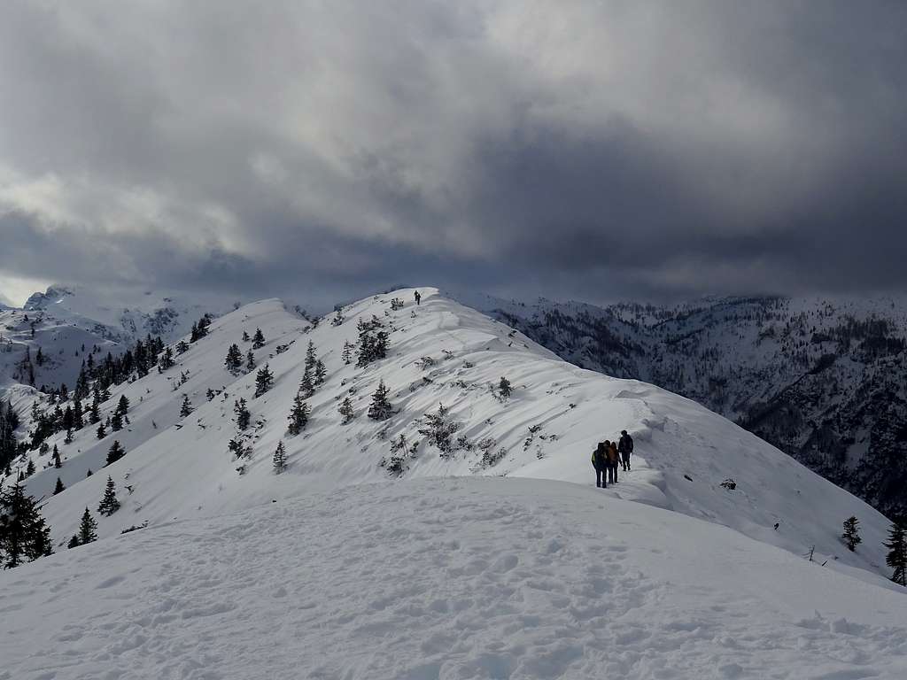
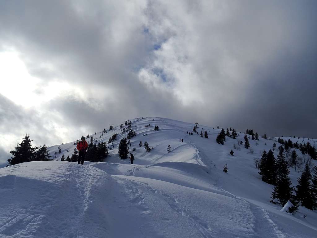
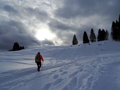
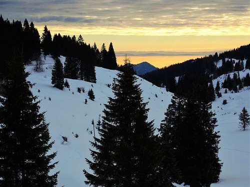
It is described here a not too difficult winter round itinerary loop, offering wide views of the Folgaria alp and Pasubio, Brenta Dolomites and Lagorai chain. The ascent route starts from the large parking lot near the small Lago Coe, beyond Passo Coe, near Base Tuono and the Memorial of Malga Zonta. It follow the itinerary of the former military road that leads to the top of the mountain. The descent follows an alternative route that leads back to the parking lot.
Getting There
The starting point of this itinerary is the locality of Malga Zonta near Passo Coe 1610 m.
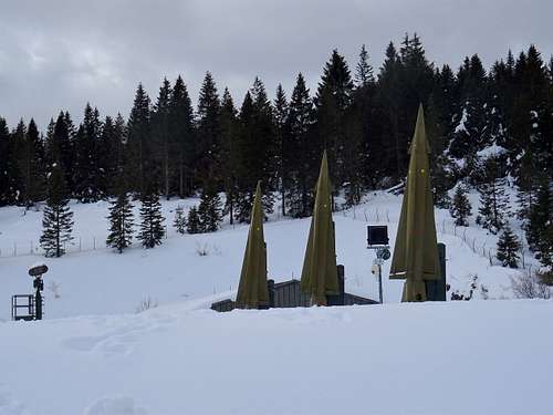
Access: from the A22 Brennero autoroute exit Rovereto Sud and take the SS12 in the direction of Trento, reaching Calliano. Here leave the SS12 and take to the right the SS350 in the direction of Folgaria. Pass Folgaria and just beyond take the SP143 towards Passo Coe 1610 m. When you reach Passo Coe, go down briefly on the opposite side for about 2.5 km to the Malga Zonta Memorial car park 1540 m (signs Base Tuono) on the right of the road, near a small pond and the Ex Base Nato "Tuono".
Route Description
Monte Maggio winter loop from Malga Zonta
Difficulty: EEI
Difference in level: 310 m from Malga Zonta
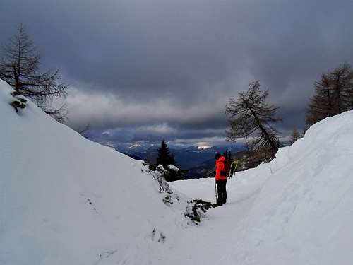
A fine and worthwhile itinerary, leading on a nice minor summit. The ascent route starts from the large parking lot near the small Lago Coe, beyond Passo Coe, near Base Tuono, and follows the comfortable former military road that leads from the Base Tuono to the top of the mountain.
From the parking lot 1540 m you will soon reach the former NATO Base "Tuono". Near the Base Tuono head left to take the military road normally well traveled in winter, which climbs with a moderate slope at first in the West direction. After cutting the ski cross-country track the itinerary enters the fir woods, then it heads Southward through the fir woods. The military road joins the path n. 124 coming from Passo Coe, which in this stretch coincides with the European path E5 and with the Path of Peace, and comes in sight of the high summit cross.
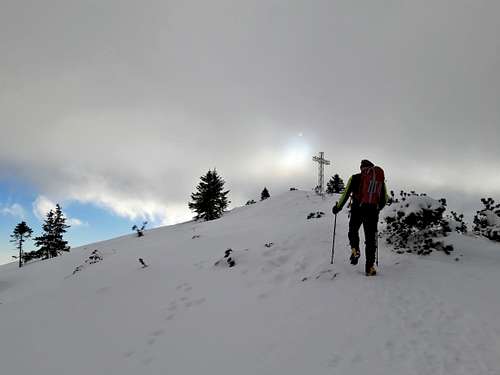
Reached a crossroads on a saddle, start to follow the ridge in front of you leading quickly to the top of the mountain. Near the top there are trenches and walkways dating back to the period of the WWI.
Descent: from the summit cross you descend directly to the base of the small summit dome to take the north-east direction and reach a beautiful snowy ridge in view of the beautiful Cima di Valscura. Without reaching this summit, you change direction and begin to descend towards the north to enter the beautiful fir woods of Alpe di Melegna which descend until you reach the cross-country track. Arriving near Malga Melegna you will soon return to the parking area.
Essential Gear
Warm clothing and equipment for the progression on snowy ground, as snowshoeing or ski
Red Tape
No fees no permits required
When to climb
The itinerary is practicable all year round, while the winter conditions are variable depending on the snowfall, they generally occur from mid-December to the end of March. Due to the altitude of the mountain, Winter and early Spring ascents requires equipment for the progression on snowy ground and the adequate clothing.
Where to stay and huts
Several possibilities in Folgaria and Serrada.
Refuges and refreshments near Monte Maggio: Rifugio La Stua - Rifugio Coe
Meteo
Bibliography
Passo Coe 1915-1916: la Grande Guerra sugli Altipiani - A Zandonati, Panorama, Trento 2004
Folgaria Magnifica Comunità, F. Larcher 1995
1914-1918, La Grande Guerra sugli Altipiani - T. Liber, Ugo Leitempergher, Rossato editore, 1988
Guida lungo la fronte austroungarica e italiana sugli altipiani di Folgaria Lavarone Luserna e Tonezza del Cimone - A. Forrer, Rovereto 2003
"Folgaria-Altipiani" - 4LAND sheet n. 119 1:25.000