
|
|
Mountain/Rock |
|---|---|
|
|
46.43855°N / 11.21529°E |
|
|
Trentino |
|
|
Hiking, Skiing |
|
|
Spring, Summer, Fall, Winter |
|
|
5699 ft / 1737 m |
|
|
Overview
Monte Penegal 1737 m
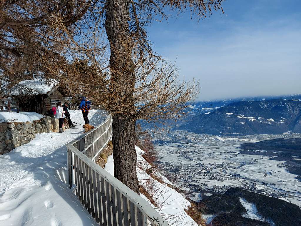
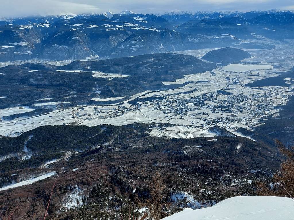
Monte Penegal 1737 m is located in the Catena della Mendola. Together with the Catena delle Maddalene it forms the Alps of the Val di Non or Nonsberg Group, a mountain group located partly in the province of Trento and partly in that one of Bolzano. The Mendola chain separates the Val di Non from the Val d'Adige and due to its particular position overlooking the Adige Valley Monte Penegal is a first-rate panoramic point over the Val d'Adige with an extensive view over the valley floor and the Western Dolomites.
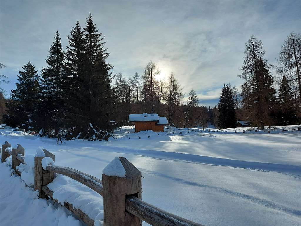
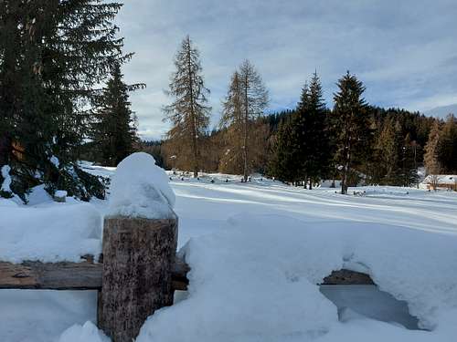
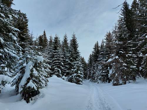
The summit of Monte Penegal can be easily reached both from the Passo Mendola and from the Regole di Malosco. The name "Regole" derives from the municipal rules that governed the exploitation of pastures. This locality is still a large esplanade with some huts and three very popular hotels in both summer and winter. This last access offers a beautiful ascent with snowshoes, a nice easy and pleasant hike along forest roads in the woods usually well traveled and with a not very steep gradient.
Getting There
From the Trento Nord exit of the A22 take the SS43 state road to the North towards Cles (Val di Non). Before Cles, at the crossroads in the village of Dermulo, keep to the right to take the SS42 towards Passo della Mendola. Just beyond the village of Ronzone, turn left following the signs to the Regole di Malosco locality. A car park is located near the Hotel Falchetto at the altitude of 1320 m.
Monte Penegal loop from Regole di Malosco
Monte Penegal loop
Summit quote: 1737 m
Difficulty: EEI
Difference in level: 420 m
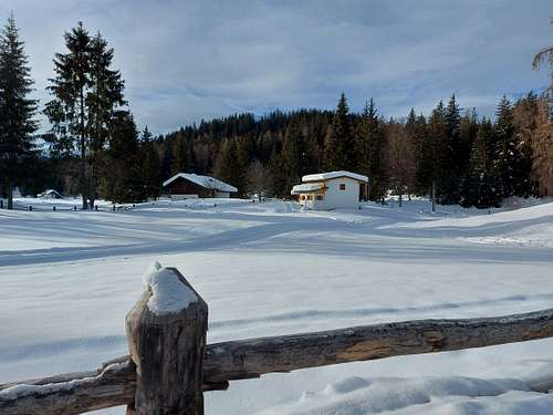
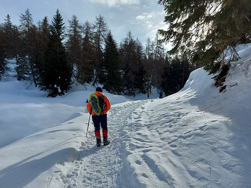
From the Regole di Malosco, locality La Monteson, take the forest road on the right of the car park marked with the SAT 508 signpost, which climbs into the fir wood with an average and constant slope until reaching the clearing of the Malga di Malosco 1546 m.


Continue on the SAT 508 trail and after a slightly steeper final stretch on more open ground you reach the top of Monte Penegal. On the top there are some abandoned buildings. On the top there are some abandoned buildings and a tower. Head towards the tower (North) to reach the terrace from where you can admire the vast panorama over the Adige Valley with the city of Bolzano and the surrounding Dolomite groups, but also in the opposite direction towards Val di Non with the Dolomites group of Brenta.
To return, head north, this time following the SAT500 trail that crosses the beautiful fir forest and then approaches the ridge that dominates the Adige valley, alternating sections near the ridge and sections in the woods. Further on we reach the "Bus dal Francolin" a belvedere with a bench, then we descend steeply to the saddle "La Forcolana / Furglaner Scharte where it arrives also the path 540 from Appiano (signpost "Alpine Path for Experts"). The track continues towards Macaion, we take instead the forest road on the left which in a few minutes reaches the forest road with trail marker SAT514, the one that comes from the Regole di Malosco and that we now follow downhill to return to the parking lot of departure.
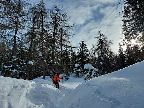
The ascent route is quite popular and therefore the track in the snow is well traveled. On the other hand, the descent from the summit passing through the Forcolana is less traveled and it may happen that you have to do the track in the fresh snow.
Red Tape
No fees no permits required
When to Climb
All year round
Where to stay
Different possibilities of accomodation in Val di Non and surroundings