
|
|
Mountain/Rock |
|---|---|
|
|
20.88828°N / 156.634°W |
|
|
Maui |
|
|
Hiking |
|
|
2248 ft / 685 m |
|
|
Overview
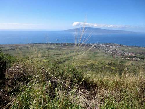
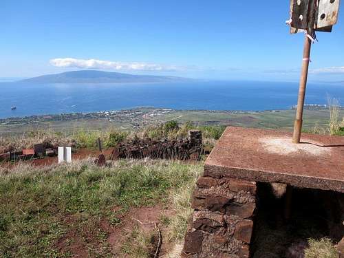
view of Lahaina
This mountain overlooks the town of Lahaina, Hawaii and is easily identified by the large “L” near the summit. The “L” stands for Lahainaluna high school which is located near the base of the mountain and was founded in 1831. It is said to be the oldest high school west of the Rockies. Above the “L” is the gravesite of David Malo who was a Hawaiian poet and historian that attended the high school during the 1830s.
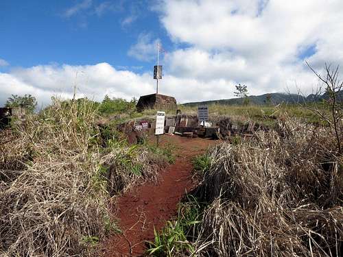
summit
This hike can be done during a typical cruise ship port call and is about 7 ½ miles roundtrip from the tender docks and about 2,250’ elevation gain.
Lahainaluna high school seniors climb up to the “L” carrying 40# bags of lime to better define the letter. On graduation night the “L” is lit up with flares to celebrate the graduating class. Up at the gravesite, there are many placques placed by the seniors at the high school each year
David Malo's grave
Route
start of trail
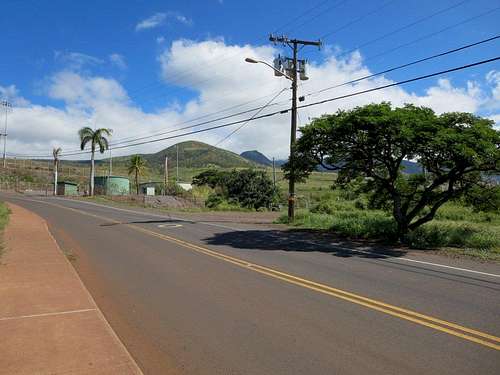
From the beach, you can follow Lahainaluna Road for 1.8 miles to the start of the trail. This start is located just below the football stadium for the high school near a couple of water tanks on the right side of the road. There is a gate marked “do no block” below the water tanks for a road that heads into the former sugar cane fields. Basically, from there you should follow the paths heading up the hill toward the “L”. After reaching the “L”, follow the steep path higher for a short distance until you reach the gravesite near the summit.
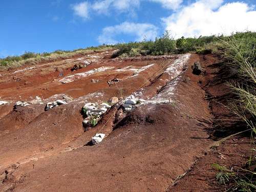 base of "L"
Red Tape
Much of Maui is privately owned and there are fewer public access trails than one might expect. Many areas are posted “Kapu” which means no trespassing. In exploring the hills around the high school, I found many no trespassing signs due to this being the area where the municipality water is obtained. The ridges in this part of NW Maui climb to over 5,000’ where the annual rainfall exceeds 400”.
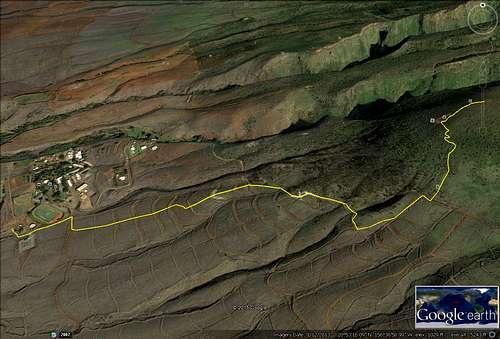
Google route trace
When to Climb
Due to the temperate climate, this can be climbed anytime of the year. However, it might be best to start early in the day before the sun begins to bake the trail.
External Links
An interesting blog of this hike is located at http://alickapromise.blogspot.com/2011/06/monster-hike.html#!/2011/06/monster-hike.html