
Viewing: 1-1 of 1

gimpilator - Mar 23, 2010 3:12 pm - Voted 10/10
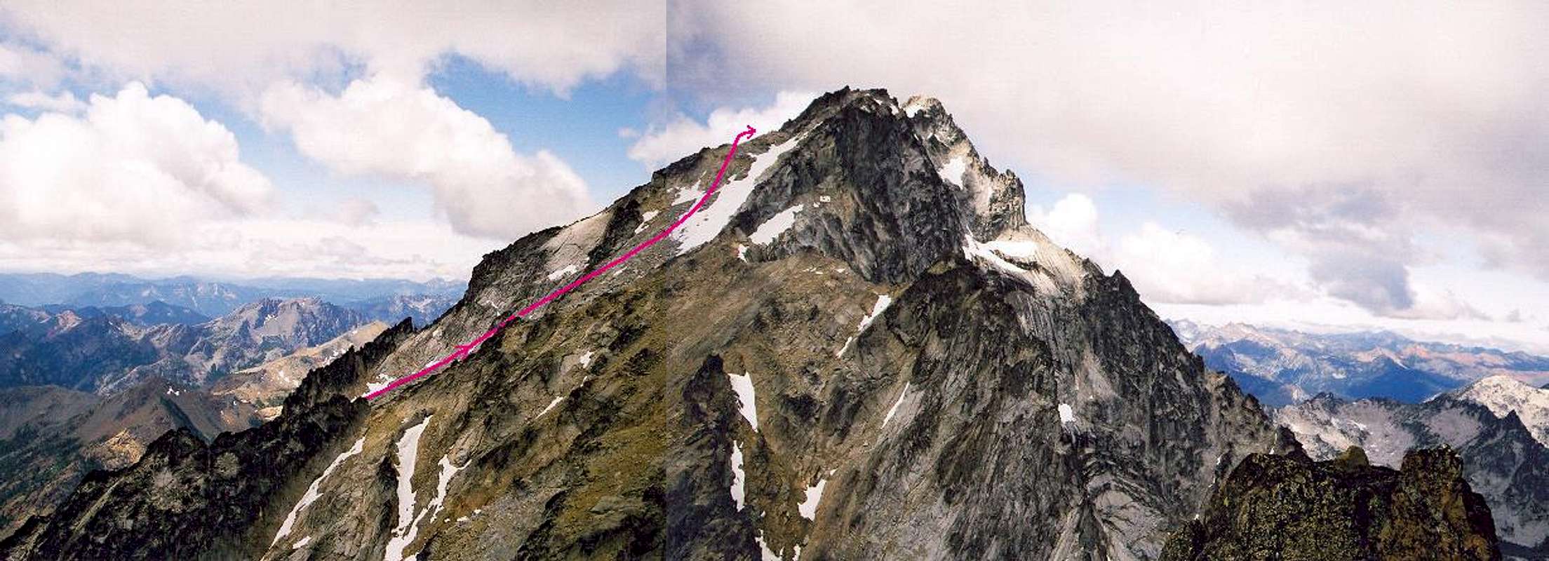
I think this lineshows a variation while going over the false summit avoids the class 4 move. We went this way of the way up and came down over the top of the false summit which proved to be easier.
Viewing: 1-1 of 1


Comments
Post a Comment