
-
 22878 Hits
-
 77.49% Score
-
 10 Votes
|
|
Mountain/Rock |
|---|---|
|
|
38.64000°N / 105.1255°W |
|
|
Fremont |
|
|
Hiking |
|
|
Spring, Summer, Fall, Winter |
|
|
10050 ft / 3063 m |
|
|
Overview
Phantom Canyon Scenery
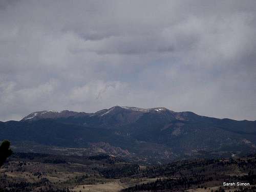
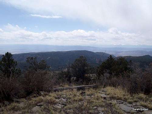
The summit is open and features views of Pikes Peak and the Almagres. The Sangre de Cristo Mountains are visible in the southwestern distance.
Rank: 22887th highest summit in Colorado
Prominence: 926 feet
USGS Quad: Big Bull Mountain
Planning Map: Trails Illustrated #137 – Pikes Peak | Cañon City
Rank and prominence data source: Lists of John
Getting There
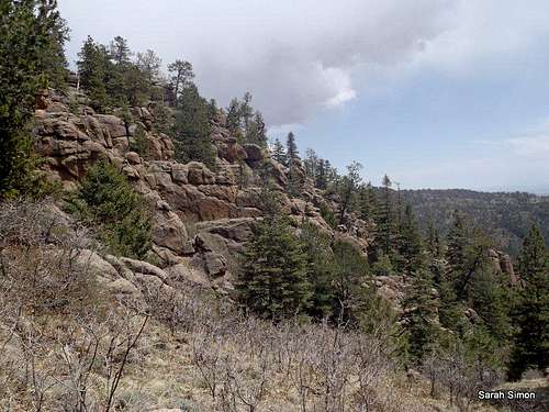
Granite and Evergreens
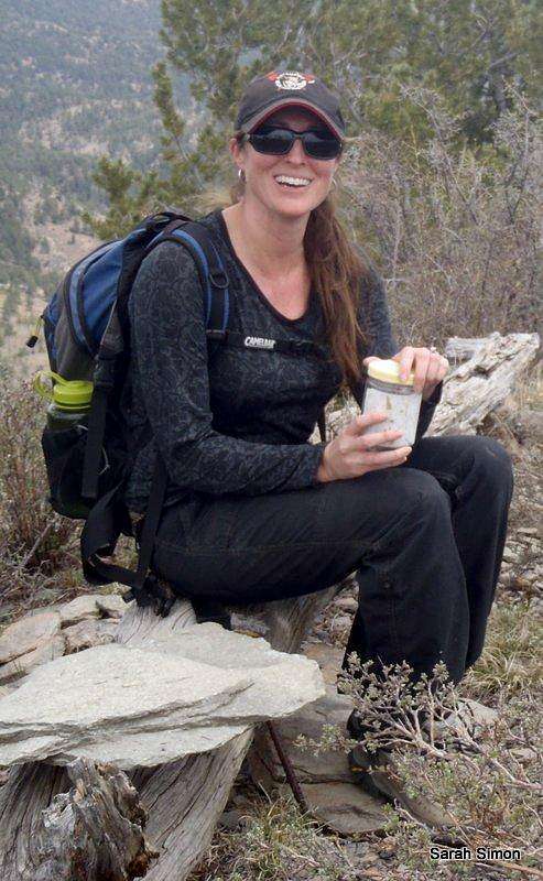
ShredDeb on the summit
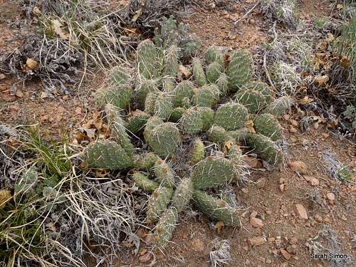
Prickly Pear
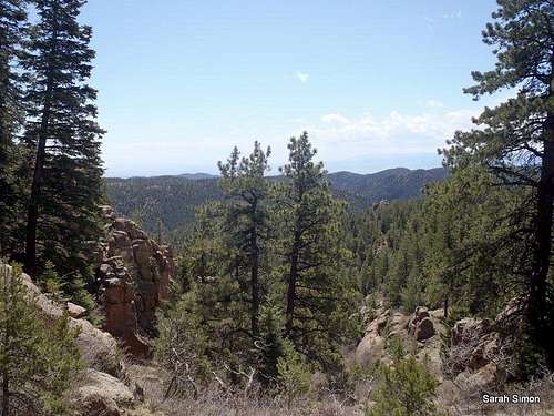
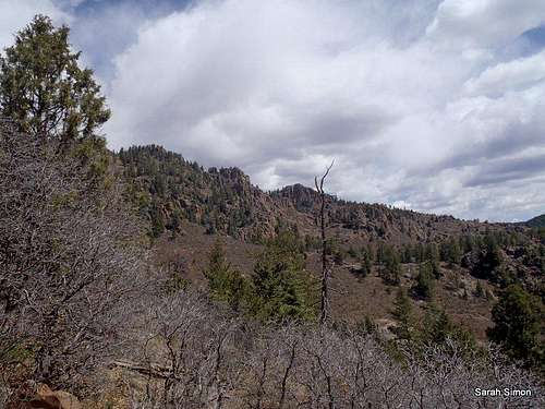
Scenery during the ascent
Getting to this mountain is half the fun, as the beautiful Phantom Canyon Road is the primary access route. In just 30 miles, road elevation ranges from 5,500 feet in the southern end to 9,500 feet in the northern end. Vehicles in excess of 25 feet in length are prohibited. The road is narrow and twisted but relatively well-groomed gravel. The scenery is astounding!
From Colorado Springs, per the Gazette
From the north (Victor/Cripple Creek): Drive through Victor heading east to the intersection of Teller County Road 81 and Phantom Canyon Road. Bear south to Phantom Canyon Road.
From the south (Cañon City/Florence): Take Colorado Highway 115 from Colorado Springs south to U.S. Highway 50, head west. Six miles east of Cañon City, turn right (north) onto Colorado 67, which turns into County Road 67 and then Phantom Canyon Road.
Nipple Mountain lies in the northern third of the road.
Red Tape

Angel & Kodi
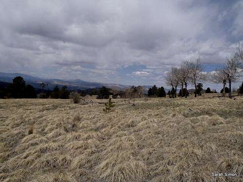
Across the plateau below the summit
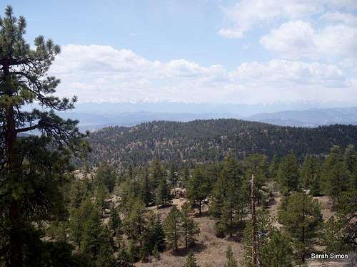
Views from up top
Weather and Seasons
 Pikes Peak and the Almagres
 | Nipple Mountain is, generally, an all-year mountain. •Snow should be limited on the southeast approach in the winter months. •Summer months bring heavy vehicle traffic to Phantom Canyon Road and summer temperatures can be quite high here, despite the altitude. •Spring access to the summit would depend on the year’s snowpack; a heavy snowpack could mean deep drifts of soft, late-season snow lodged in the trees and higher meadows. Later in the spring, the cactus begin to bloom! •Fall would be a nice season to visit this peak, and the red and orange scrub oak glowing on the lower reaches of the mountain would be sure to delight. |  |
Camping & Lodging
Snow rolling over the Almagres
Views across the grassy summit
There are no official/established campgrounds along Phantom Canyon Road, though there are said to be a few pull offs where one can rustic car camp.
External Links
I welcome any external trip reports or recommended links to be added to this page. Please notify me via the "Additions and Corrections" comments section of any value-add links to include on this page.
The Aftermath