-
 3765 Hits
-
 71.06% Score
-
 1 Votes
|
|
Route |
|---|---|
|
|
44.05919°N / 115.03315°W |
|
|
Hiking, Mountaineering, Mixed, Scrambling |
|
|
Summer, Fall |
|
|
Most of a day |
|
|
Class 3 |
|
|
Overview
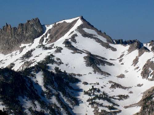
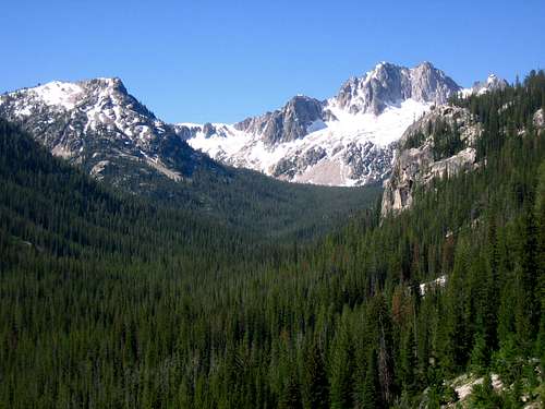
Northeast Slopes (Class 3-4)- from just west of Alpine Lake, scramble southwest to the base of a vertical band of rock. The North Route is just west of this giant rock band, but the Northeast Route is just south (left) of this impressive rock band. Scramble up the slope, which is slightly steeper than the North Route. If all snow covered, then the climbing is straight-forward, but if rock is exposed, be wary of loose rock. This route is not recommended if it is all rock and sand. From the ridge, scramble Class 2 to the northwest to reach the true summit.
Descent- The easiest descent is found 0.25 miles southeast of the summit, but may be tough to find. Follow the ridge to the 2nd descent notch (the 1st notch doesn't go down easily). Scramble down the 2nd notch which starts just west of Point 9337 and stay west of the snowfield marked on the map. Continue descending to the drainage stream south of Alpine Lake (as marked on the map). Stay south of Alpine Lake to hit the trail again.
From Redfish Lake Transfer Camp (utilizing shuttle boat): 6.4 miles and 3774 feet gain (one way)
From Redfish Lake Lodge (no shuttle boat): 10.1 miles and 4806 feet gain (one way)