
-
 3688 Hits
-
 71.86% Score
-
 2 Votes
|
|
Route |
|---|---|
|
|
46.71000°N / 12.44000°E |
|
|
Hike |
|
|
Half a day |
|
|
Walk-Up |
|
|
Approach
Seen the main page for the Getting There information for the village of Hollbruck.Route Description
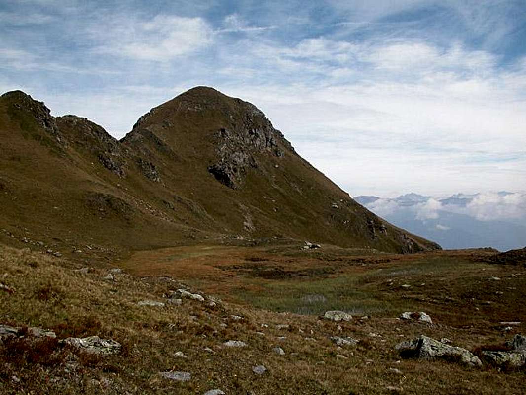
- Start altitude: 1360mm
- Summit altitude: 2393m
- Prevailing exposition: N
- Type: 3h over paths
- Protection: marked
The route follows a forest road for most of the distance. The trail is marked 467. At an altitude of 1525m you can choose between the road and a short cutting trail which runs close to the Hollbrucker Bach Creek. Both recombine at the Ochsenboden Alm at 1955m.
From here on the ascent trail (still marked 467) heads west to climb for a bivouac at 2300m. Here you head eastwards, heading for Hollbrucker Spitze. After some scrambling along a steep meadow you'll reach trail No 15 "Sepp Innerkofler Weg" which runs from Hollbruck to Hollbrucker Spitze along the Zenzerspitze Ridge. Turn right (north) onto that trail until you reach the Zenzerspitze summit block. Cross over to the ridge (left = west), which you follow to the summit.