-
 12219 Hits
-
 71.62% Score
-
 2 Votes
|
|
Area/Range |
|---|---|
|
|
38.80299°N / 112.22909°W |
|
|
Hiking |
|
|
Spring, Summer, Fall, Winter |
|
|
10222 ft / 3116 m |
|
|
Overview
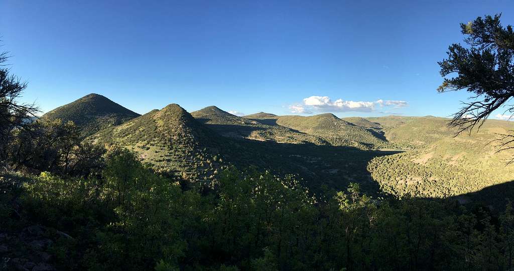
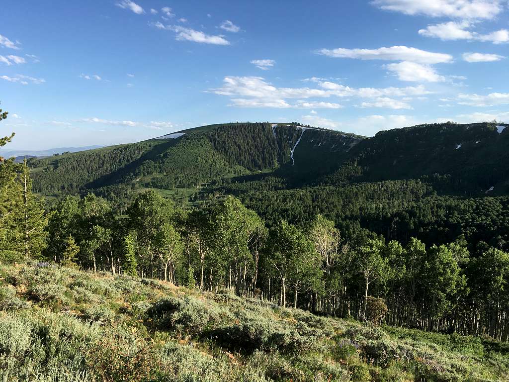
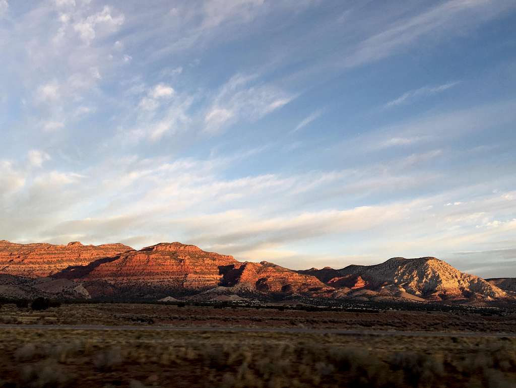
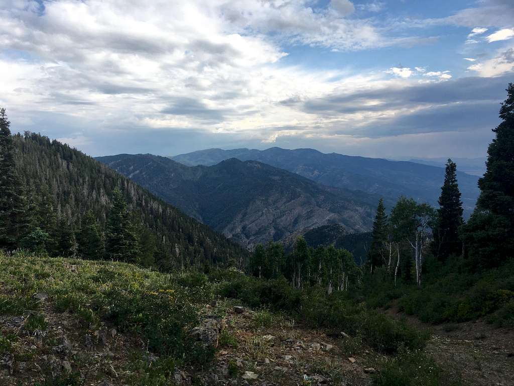
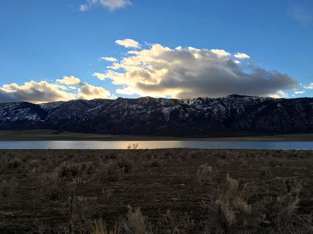
The Pahvant Mountains are a lesser known range in Central Utah that run 40 miles north-to-south along the eastern edge of the basin and range country of western Utah. It is named after the band of Utes that lived in the area. The southern portion of the mountains are lower in elevation with the highest point being Joseph Peak (9,325'). The northern section of the range has a high-elevation spine that hovers between 9,000-9,400 feet with the highest point being Mine Camp Peak (10,222'). The eastern side of the mountains, especially near Richfield, Utah, are mostly red rock canyons and foothills. The higher elevations receive much more moisture and boast large forests of pine and aspen.
Getting There
The range sits about 120 miles south of Salt Lake City. The town of Scipio on I-15 sits on the north end, Fillmore is in the Pahvant Valley to the west, and Richfield is in the Sevier Valley to the east. The southern portion of the range is separated from the Tushar Mountains by Clear Creek Canyon through which I-70 travels. The area is crisscrossed with an extensive network of ATV trails and dirt roads including the famous Paiute Trail. Most roads are fairly well-maintained by there are plenty of spots where high-clearance and maybe 4WD are recommended.
Red Tape
Most of the land in the range is within Fish Lake National Forest. There are some private land parcels in and around the range.