http://westernfarmpress.com/news/snow-survey-0104/?utm_source=feedburner&utm_medium=feed&utm_campaign=Feed%3A+WesternFarmPress+%28Western+Farm+Press%29
A bit better than last year so far, but not so great. Time will tell.
As El Niño grows stronger, so does hope for a wet winter...
-

David Senesac - Posts: 290
- Joined: Sun Feb 01, 2004 3:51 pm
- Thanked: 25 times in 12 posts
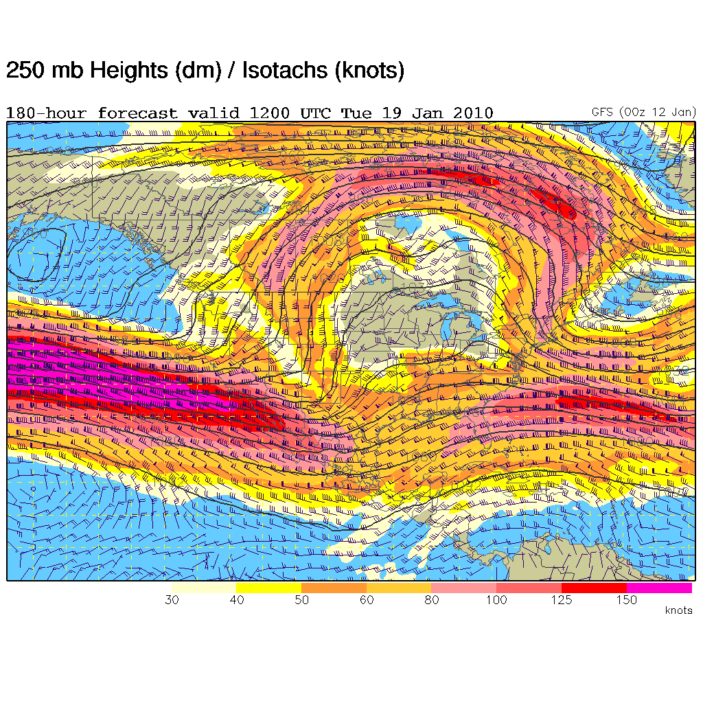
NWS long range is finally about to raise the El Nino jetstream flag for the first time this season starting as the Martin Luther King weekend wanes. If that comes to pass, this following week could finally bring in some big weather. So far this year outside the one big mid October storm, this winter has been rather droughty. Lots of small storms piddling on the north part of the state making surface mud. This winter has reminded me of a few of our drier years like those in the late 80s. Some winters the jetstream will move south into California only once or twice during January/February period. We'll get a series of big storms that drops most of the winter's precip before the jetstream moves back north and then rest of the winter goes back to dry. However we've also had a few winters where the first half was dry and then flip flopped into a long wet pattern.
David Senesac
http://www.davidsenesac.com
David Senesac
http://www.davidsenesac.com
-

Snowslogger - Posts: 304
- Joined: Mon Apr 21, 2003 12:50 pm
- Thanked: 14 times in 11 posts
We in the NW will be happy to loan you our jetstream for awhile. Until it's time to go skiing, then we want it back. 
-

granjero - Posts: 127
- Joined: Sun Nov 30, 2008 8:47 am
- Thanked: 46 times in 29 posts
Snowslogger wrote:We in the NW will be happy to loan you our jetstream for awhile. Until it's time to go skiing, then we want it back.
Great, thanks! We'll have it back once we get a nice soak. How's mid-May sound?
-

SpazzyMcgee - Posts: 100
- Joined: Wed Aug 06, 2008 6:49 pm
- Thanked: 15 times in 11 posts
David Senesac wrote:NWS long range is finally about to raise the El Nino jetstream flag for the first time this season starting as the Martin Luther King weekend wanes. If that comes to pass, this following week could finally bring in some big weather. So far this year outside the one big mid October storm, this winter has been rather droughty. Lots of small storms piddling on the north part of the state making surface mud. This winter has reminded me of a few of our drier years like those in the late 80s. Some winters the jetstream will move south into California only once or twice during January/February period. We'll get a series of big storms that drops most of the winter's precip before the jetstream moves back north and then rest of the winter goes back to dry. However we've also had a few winters where the first half was dry and then flip flopped into a long wet pattern.
David Senesac
http://www.davidsenesac.com
Do you have a link by any chance?
-
David Senesac - Posts: 290
- Joined: Sun Feb 01, 2004 3:51 pm
- Thanked: 25 times in 12 posts
SpazzyMcgee wrote:...Do you have a link by any chance?
Regularly read the Area Forecast Discussions aka AFD.
http://www.wrh.noaa.gov/mtr/forecast.php
This page can put some meaning into the terse abbreviations and terms.
http://www.theweatherprediction.com/jargon/
-

jspeigl - Posts: 182
- Joined: Thu Dec 04, 2008 6:13 am
- Thanked: 5 times in 5 posts
I just saw this from NOAA regarding SoCal:
THERE WILL BE A BREAK IN THE WEATHER THIS WEEKEND...THEN A SERIES OF
STORMS IS EXPECTED TO IMPACT THE AREA DURING THE EARLY TO MIDDLE
PART OF NEXT WEEK. THERE IS STILL A LOT OF UNCERTAINTY ABOUT THE
TIMING AND RAINFALL AMOUNTS...BUT THESE STORMS HAVE THE POTENTIAL TO
BE QUITE VIGOROUS...AND COULD BRING LARGE RAINFALL TOTALS TO THE
LOWER ELEVATIONS AND HEAVY SNOW TO THE MOUNTAINS. RAINFALL
ACCUMULATIONS THROUGH MID WEEK COULD TOTAL SEVERAL INCHES.
IF RAIN DEVELOPS AS EXPECTED THEN THERE WILL BE A POTENTIAL
OF FLASH FLOODING...MUD AND DEBRIS FLOW...ESPECIALLY IN AND BELOW
RECENTLY BURNED AREAS. THE RAIN WILL MAKE ROADS SLICK AND TRAVEL
THROUGH THE HIGHER ELEVATIONS OF THE MOUNTAINS COULD BECOME
HAZARDOUS DUE TO SNOW AND BLOWING SNOW.
-

MiguelVieira - Posts: 22
- Joined: Sat Aug 16, 2008 2:55 am
- Thanked: 5 times in 1 post
Alright! Current weather statement for central California:
stronger and wetter systems will begin Sunday and continue into next week. Although timing of individual storms is difficult at this point... it looks like every 24 to 36 hours a system will move through. Rainfall totals by the end of next week could exceed 5 to 10 inches in the lower elevations with snow amounts of 10 feet or more possible over the higher Sierra Nevada.

-
KathyW - Posts: 1656
- Joined: Wed Jun 25, 2003 7:07 am
- Thanked: 53 times in 39 posts
It looks like there's a good amount of snow/rain coming for the Southern California area:
http://forecast.weather.gov/showsigwx.php?warnzone=CAZ056&warncounty=CAC065&firewxzone=CAZ256&local_place1=6+Miles+NE+Idyllwild+CA&product1=Hydrologic+Outlook
http://forecast.weather.gov/showsigwx.php?warnzone=CAZ056&warncounty=CAC065&firewxzone=CAZ256&local_place1=6+Miles+NE+Idyllwild+CA&product1=Hydrologic+Outlook

-
The Chief - Thanked: time in post
The latest 2100Z discussion from NWS HPC:
"ALONG THE WEST COAST THERE ARE AT LEAST 3 TO 4 SURGES COMING INTO THE WEST COAST IN THE FAST PACIFIC FLOW THIS PERIOD EACH WITH ROUNDS OF HEAVY PRECIPITATION. AT THIS TIME THERE IS REASONABLE AGREEMENT ON THE SHORTWAVES EMBEDDED IN THE FLOW TO COME IN AROUND AT-SUN..MON..TUES AND ANOTHER THURS-FRI WITH MORE TO FOLLOW. MONDAYS SURGE HITS THE ENTIRE COAST FROM VANCOUVER SOUTH TO PT CONCEPTION BUT THEN AS THE HEIGHTS FALL AND THE JET CORE SHIFTS SOUTHWARD THE TARGET AREA WILL BE MORE INTO CENTRAL CA AND SOUTHERN CA TUESDAY ONWARD.
THIS EVENT HAS THE POTENTIAL TO APPROACH OR RIVAL THE JANUARY/FEBRUARY 1998 EL NINO EVENT IN CENTRAL CA AND THE JANUARY 1995 TIME FRAME FOR SOUTHERN CALIFORNIA. QPF TOTALS FROM MODEL GUIDANCE ARE VERY HIGH WITH AN OVERALL RANGE OF 7-12 LIQUID INCHES DURING THIS FORECAST PERIOD OVER COASTAL REGIONS/SIERRA. EXPECT CONSIDERABLY HIGHER AMOUNTS OVER A MULTIDAY PERIOD WITH 10-20 INCH MOUNTAIN AMOUNTS WITH EVEN HIGHER AMOUNTS OVER FAVORABLE TERRAIN. SIERRA MOUNTAIN SNOWS MAY BE IN THE 8-12 FOOT RANGE. AS THE JET CORE SHIFTS SOUTHWARD THE HEAVIER PRECIPITATION WILL BE MORE CONCENTRATED INTO SOUTHERN CALIFORNIA WHERE SIMILAR RAINFALL NUMBERS MAYBE OVER ESPECIALLY FAVORABLE TERRAIN. SOME LOCAL FAVORED TERRAIN AREAS WILL MOST LIKELY APPROACH "20" INCH LIQUID AMOUNTS DURING THIS PERIOD WITH THE EVENT "CONTINUING PAST OUR 7 DAY RANGE", YIELDING EVEN HIGHER TOTALS. VERY HEAVY SNOWS CAN BE EXPECTED OVER HIGHER TERRAIN AND A FLOODING/MUDSLIDE PROBLEMS APPEAR LIKELY. A HEAVY RAIN THREAT FOR ARIZONA APPEARS IN STORE THURSDAY INTO SATURDAY.
THIS IS A "HIGH CONFIDENCE EVENT" WITH "PACIFIC RECONNAISSANCE REQUESTED".
HEED THE WARNING AND THINK BEFORE YOU GO OUT..THIS AINT NO FKING JOKE!
-
- Related topics
- Replies
- Views
- Last post
-
- When was the last wet winter?
by Clark_Griswold » Sun Oct 12, 2014 4:15 pm - 11 Replies
- 3573 Views
- Last post by willytinawin

Thu Oct 23, 2014 10:12 pm
- When was the last wet winter?
-
- Wet Slides
by hamik » Thu Jun 03, 2010 11:55 pm - 12 Replies
- 2792 Views
- Last post by butitsadryheat
Thu Jun 10, 2010 8:24 pm
- Wet Slides
-
- Waterhouse Peak/Hope Valley
by Superhero » Fri Apr 06, 2012 8:07 pm - 3 Replies
- 1201 Views
- Last post by Palisades79
Sat Apr 07, 2012 3:52 pm
- Waterhouse Peak/Hope Valley
-
- Shasta in winter
by climb_333 » Mon Nov 04, 2013 6:00 am - 3 Replies
- 1491 Views
- Last post by mconnell
Mon Nov 11, 2013 1:11 am
- Shasta in winter
-
- This Winter Will Never End
by fedak » Sun Jun 05, 2011 12:49 am - 6 Replies
- 1708 Views
- Last post by Josh Lewis
Mon Jun 06, 2011 4:21 pm
- This Winter Will Never End
Who is online
Users browsing this forum: No registered users and 0 guests