
Comments
No comments posted yet.
|
|
Trip Report |
|---|---|
|
|
46.49390°N / 86.5507°W |
|
|
Sep 5, 2020 |
|
|
Hiking |
|
|
Summer |
Pictured Rocks National Lake Shore preserves a portion of Lake Superior’s southern shoreline in the Upper Peninsula of Michigan. The park is so called because of cliffs that rise as much as 200 feet above the lake. “Pictured” refers to mineral stains on the surface of the rocks. A trail goes through the forest close to the edge of the cliffs providing you, at views points, with great views of Lake Superior and the cliffs. By looking at Google Earth, I had decided that the most scenic part of the clifftops hike was the 11 mile section between Miners Castle and Spray Falls. I had further broken that section into two day hikes.
This is the description of my one way hike from Chapel Trailhead to Mosquito Beach and then Miners Castle Trailhead. Due to traffic jam on Chapel Trailhead Road, I ended up hiking 1.2 miles on the road to reach the trailhead bringing the total length of the hike to 9.1 miles.
Hiking Distance: 9.1 miles (includes 1.2 miles of road hiking due to traffic jam)
Total Ascent: 790 ft
My wife Mary and I left our home in Janesville, Wisconsin at 5 a.m. (6 a.m. Michigan time) driving to Munising, Michigan for our 3 night vacation near Pictured Rocks. We reached Munising just before 12 noon. First we went to Miners Castle Trailhead so that Mary could see where she would pick me up at the end of the hike. The trailhead was extremely crowded. We then went to Chapel Trailhead Road. We were still some distance away from the trailhead when we ran into a traffic jam. Cars had parked along the length of the road. I asked Mary to not drive any more and drop me off.
Started my hike at 12:55 p.m. and began to walk on the road in the forest. I was shocked to see a continuous line of parked cars 1.2 miles long all the way to the trailhead. Huge crowds were walking the road. Had we decided to drive to trailhead, we would have been stuck in the traffic for hours.
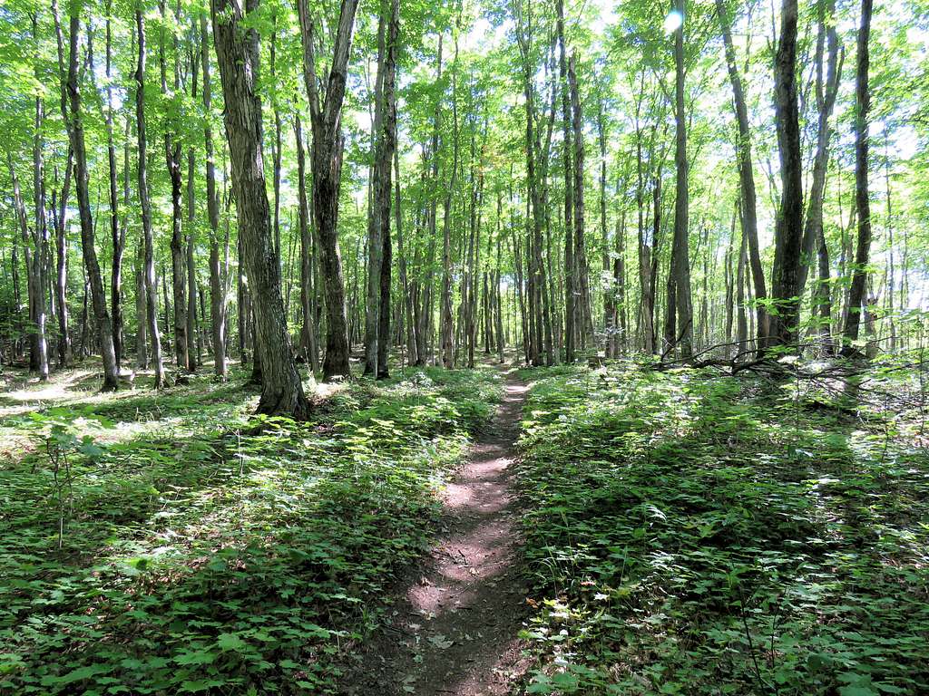
At the trailhead, there were two trails. One went to Chapel Beach and the other to Mosquito Beach. I went on the trail to Mosquito Beach. While I ran into other hiker frequently, I was not walking in huge crowds anymore so I was thankful for that. The trail went in a pretty forest heading northwest toward Lake Superior.
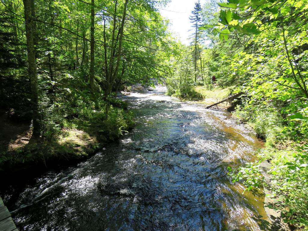
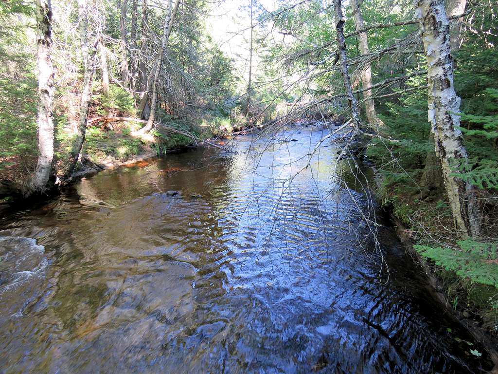
At 3.1 miles and 2 p.m., the trail went over a bridge crossing Mosquito River.
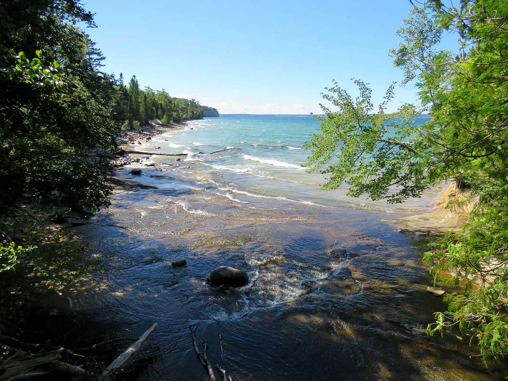
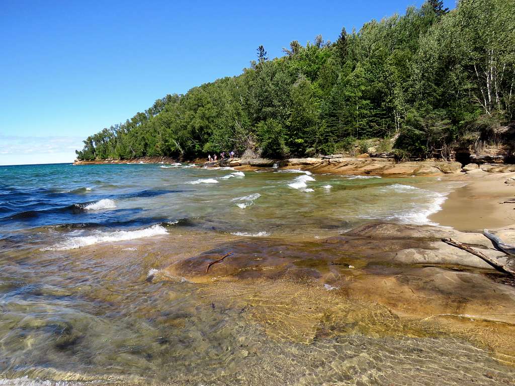
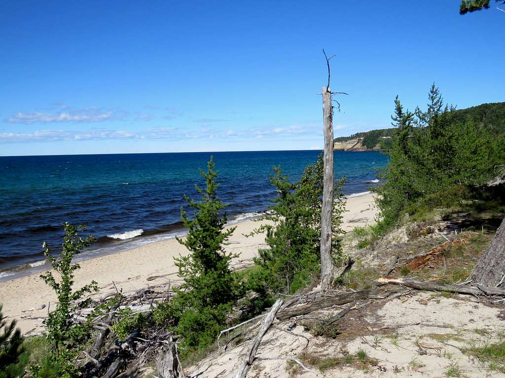
Lake Superior appeared in front of me. A nice cool breeze began to blow.
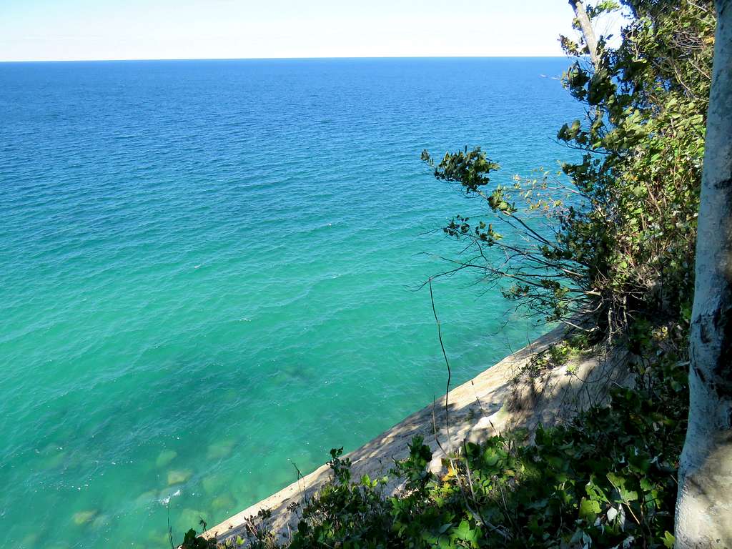
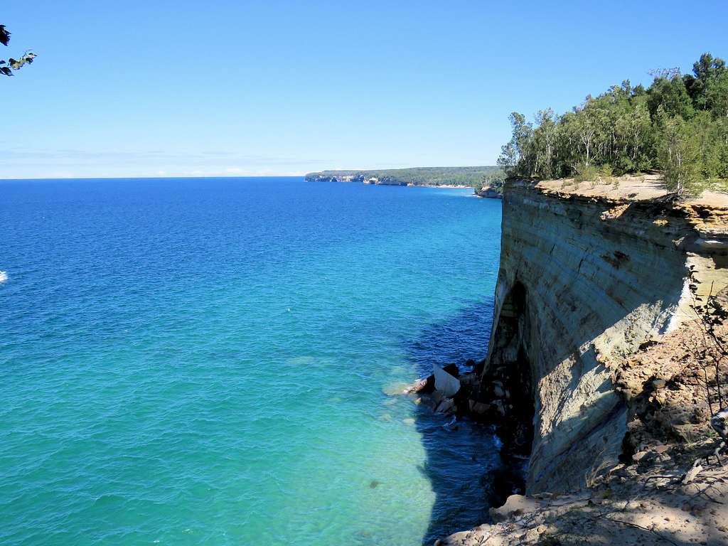
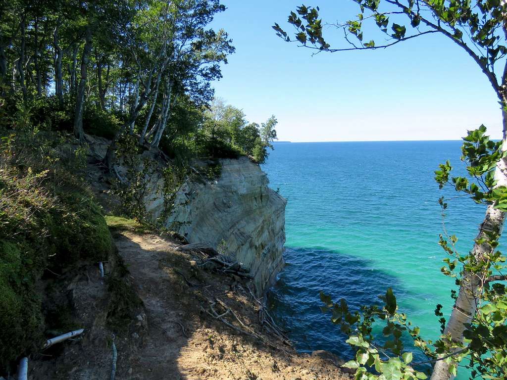
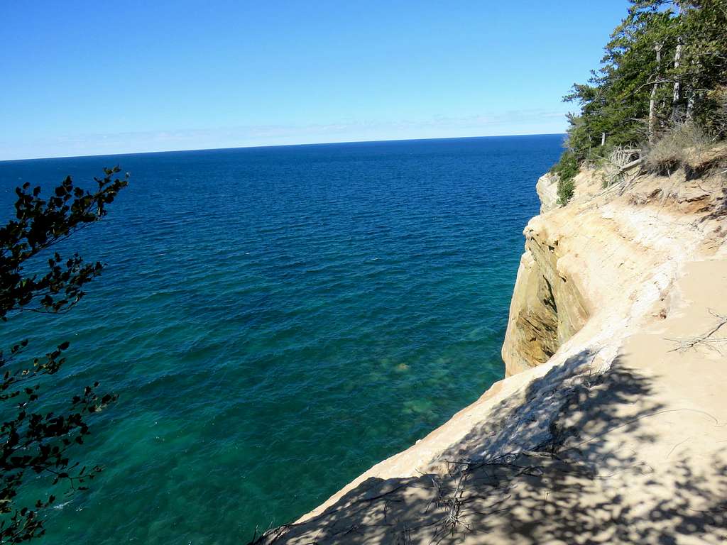
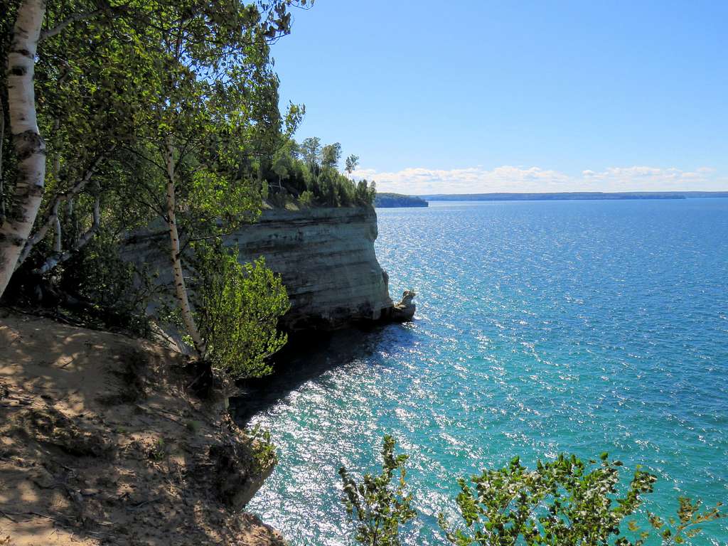
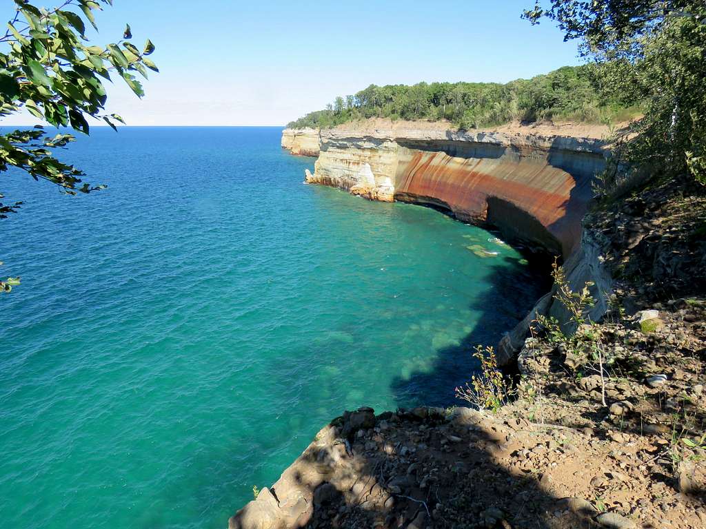
Got on the shorefront trail and began to hike southwest toward Miners Castle. As I suspected, although the trail was close to the shore, the forest blocked the views most of the times. Good lake and cliff views could only be found at certain spots. The trail soon went up to the top of the cliffs.
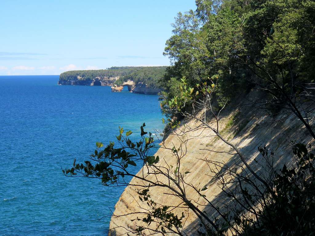
The natural bridge known as Lover’s Leap appeared to the distant northeast.
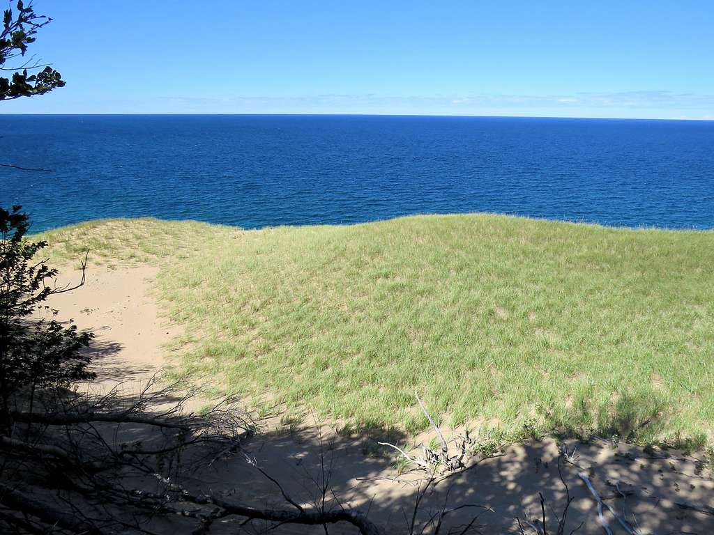
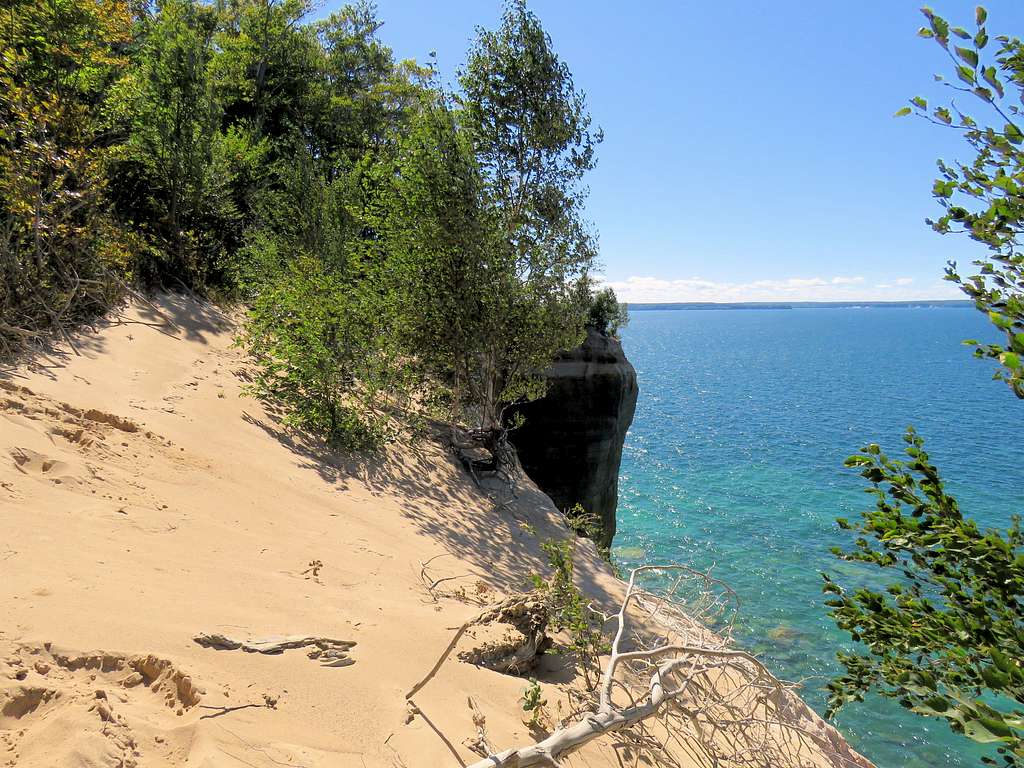
On Satellite photos, I had seen what had looked like a nice open area on top of the cliffs. I had marked that spot and entered it into my GPS. As I got close to the spot, I went off trail walking in the forest a short distance toward the lake. I noted that sand had engulfed the tree trunks. Went up a sandy slope to a high point where a grass covered sandy area appeared in front of me. I remembered a TV report about a kid who walked on sandy ground in a forest near Lake Michigan and fell into a hidden hole in the sand. I was paranoid about getting buried under sand so I went back to the trail.
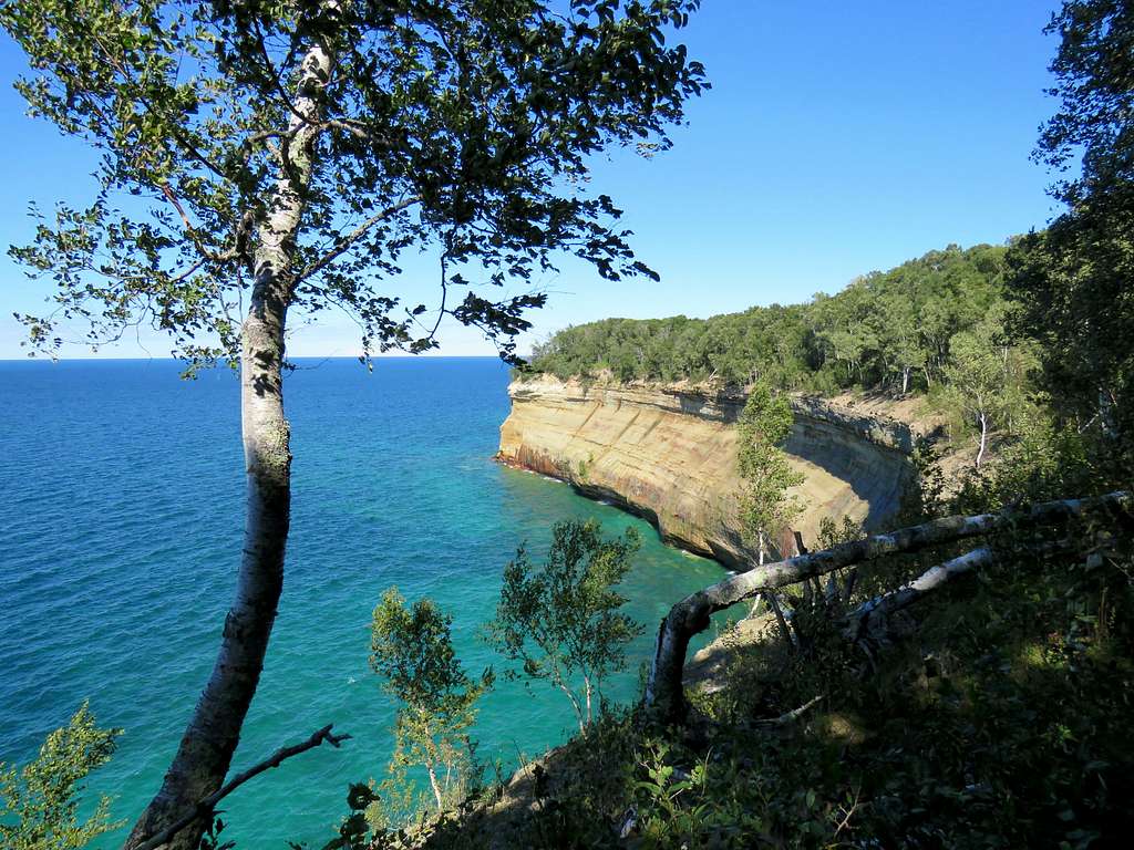
Another zoomed view of Lover’s Leap.
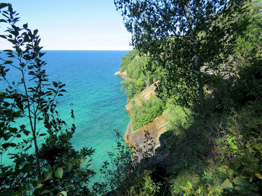
More views along the way.
Reached a creek that I knew gave rise to Bridalveil Falls but there was no running water. Saw no signs for the falls. Walked 500 feet in the forest along the creek to the edge of the cliffs but the falls were dry.
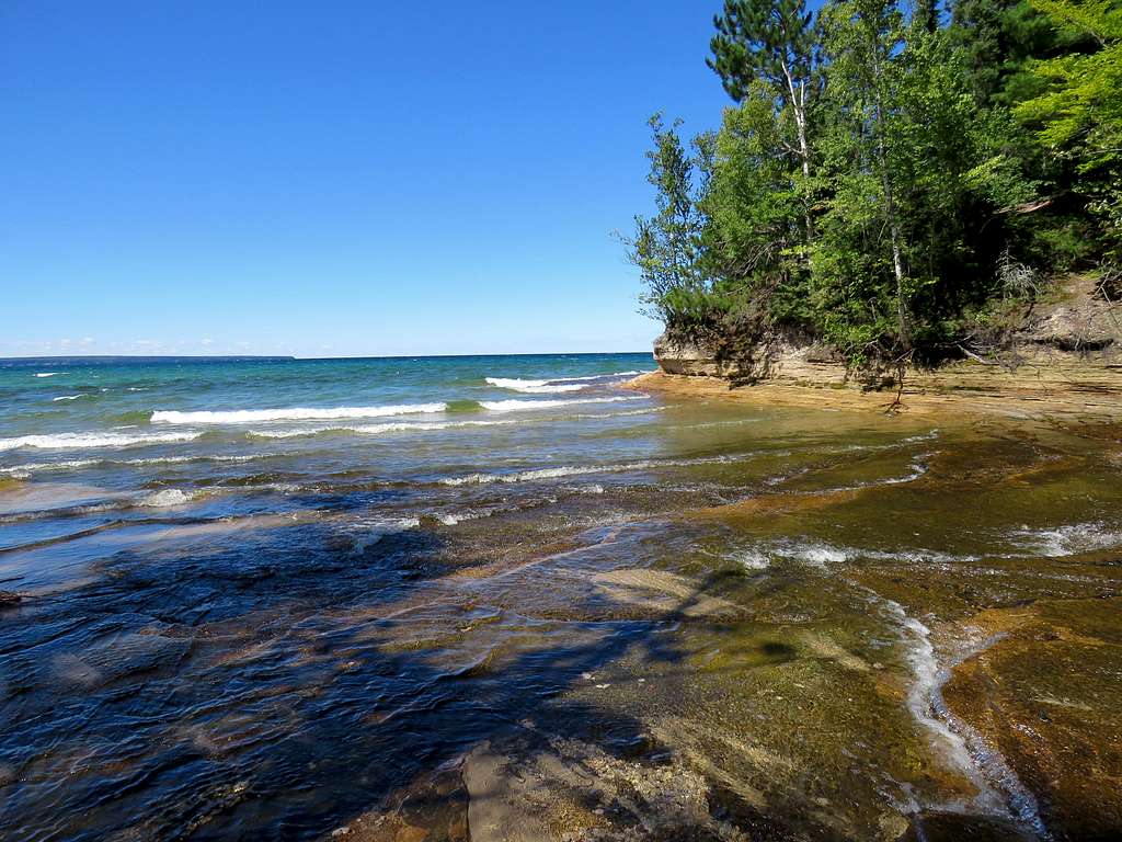
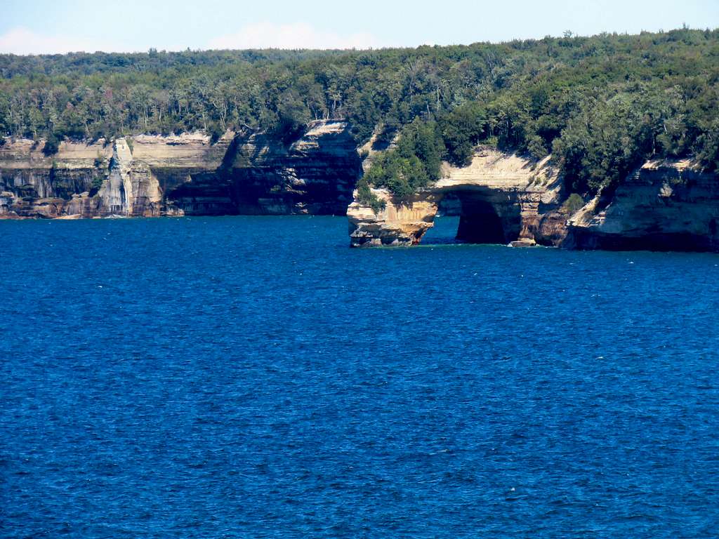
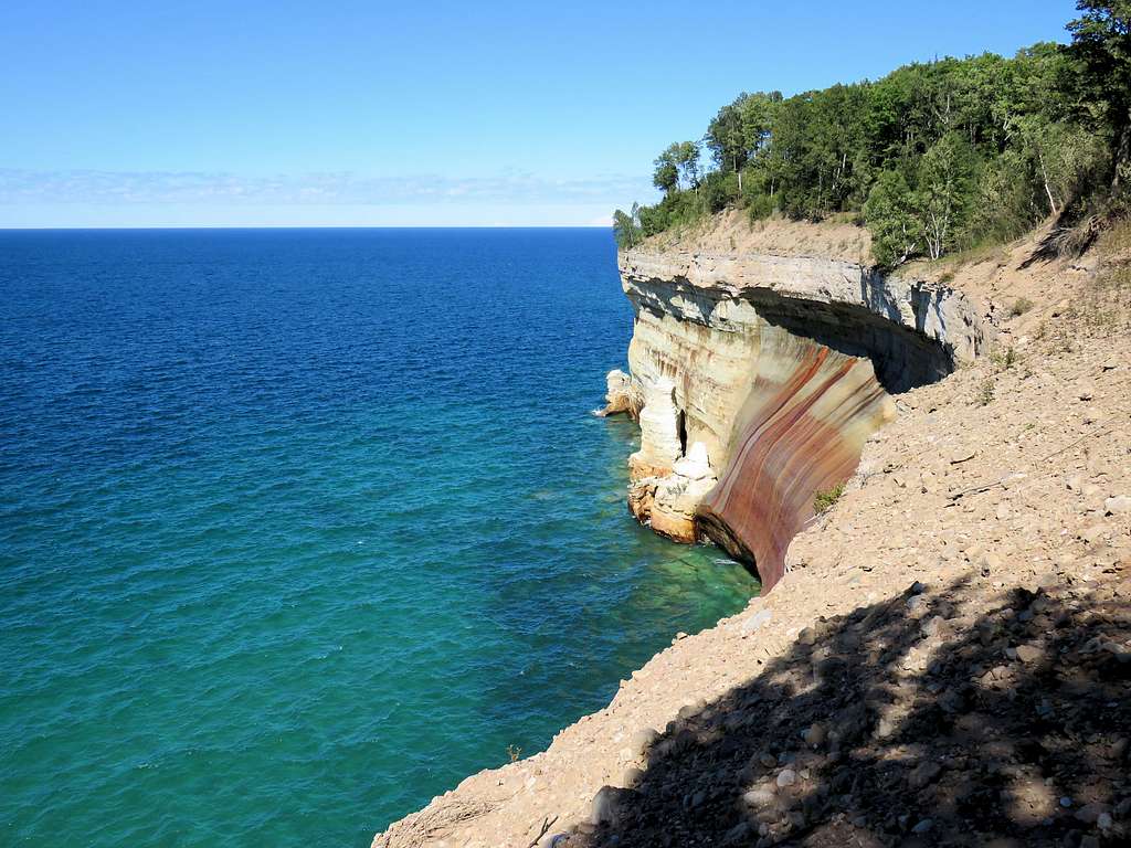
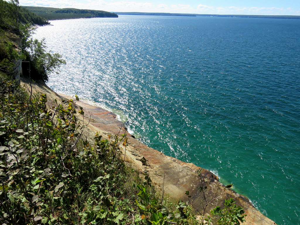
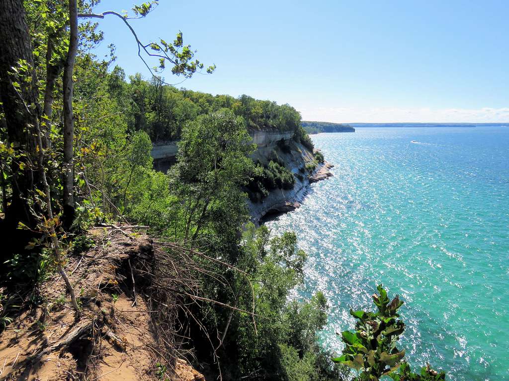
More cliffs views.
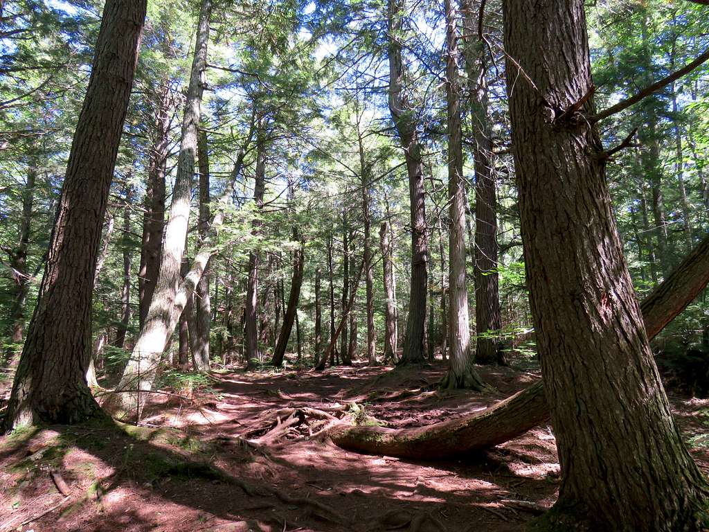
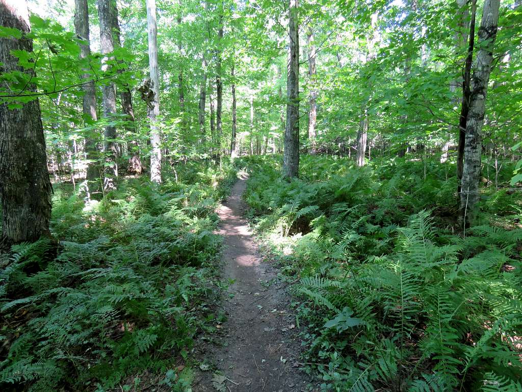
Typical forest views.
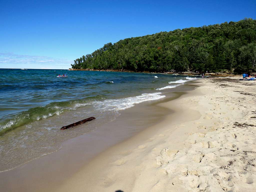
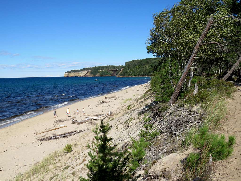
The trail took me down the cliffs and through a parking area until I reached the crowded Miners Beach.
Elliot Falls could be seen at the west end of the beach.
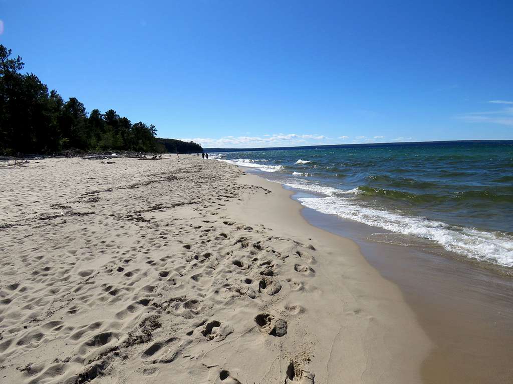
Miners Beach.
Miners River at the east end of the beach.
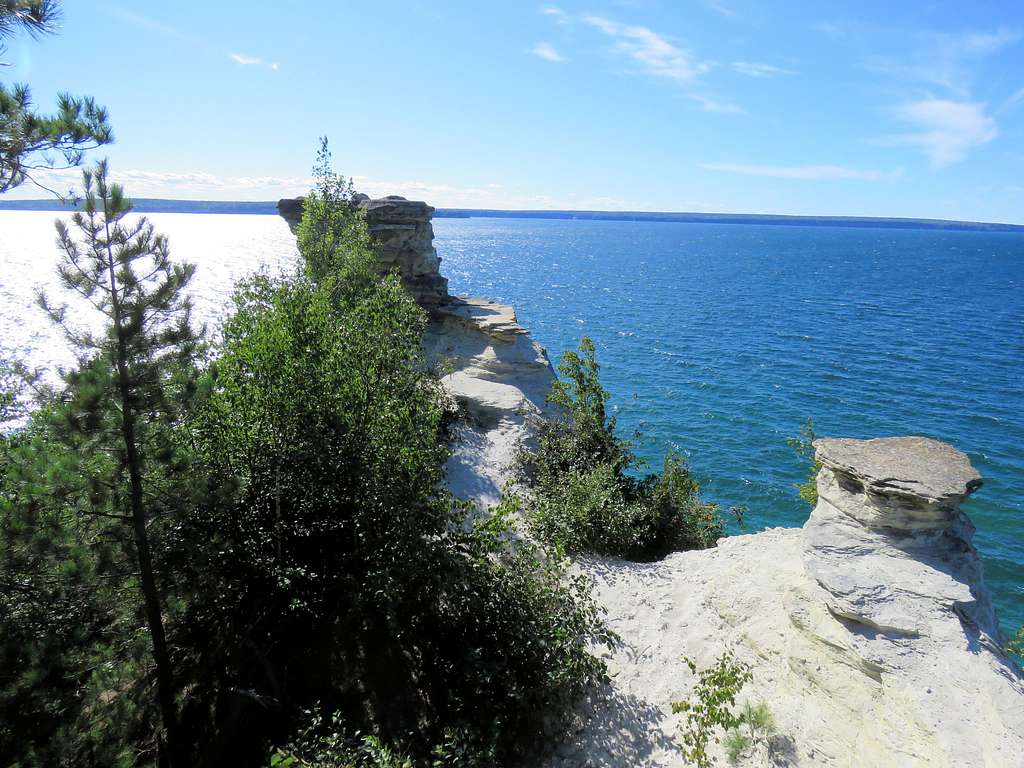
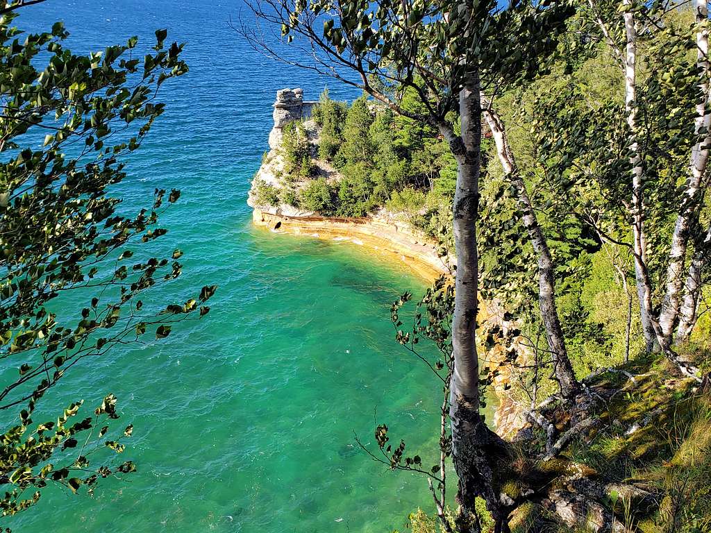
The trail then went up in the forest until it reached the very crowded Miners Castle Trailhead. I got on a paved pathway going to Miners Castle Viewpoint. Huge crowds were going to the viewpoint. As if in some sort of a religious ritual, people waited their turns to take a picture and look around for a few seconds before clearing their spots for the next person.
I then reached where Mary had parked at 5:00 p.m. We walked to a less crowded viewpoint where we got another view of Miners Castle.