|
|
Mountain/Rock |
|---|---|
|
|
48.29365°N / 121.13614°W |
|
|
Snohomish |
|
|
7088 ft / 2160 m |
|
|
Overview
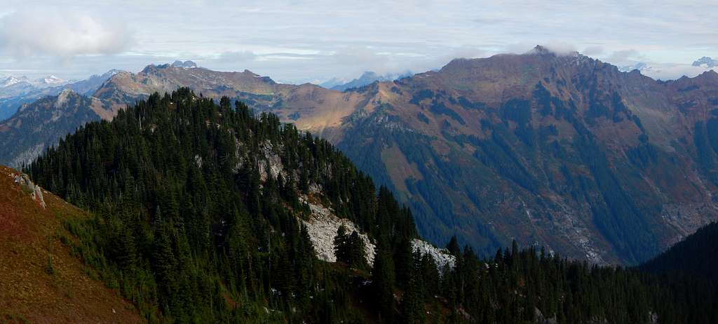
Pilot Peak is a little-known, seldom-climbed peak located east of Downey Creek in the Suiattle River drainage. It can be located as the midpoint between the Green Mountain lookout (five miles west) and Dome Peak (five miles east). While most local climbers have settled on 'Pilot Peak' as the most appropriate name (in reference to the small lake just west of the summit), it is also referred to as 'Bachelor Peak' by websites such as Peakbagger.com (in reference to Bachelor Creek on the north flank).
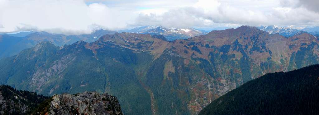
Pilot Peak is the high point of a southwest-to-northeast trending ridge that stretches six miles - essentially from the Downey Creek Campground to a 5540' saddle just west of Itswoot Lake. When perusing maps, the only nomenclature found on the entire ridge is for the southwestern high point, labeled as 'Downey Mountain'. Unfortunately for Downey Mountain, it does not even pass the 300' prominence threshold, and is therefore not a 'real' mountain. Pilot Peak, on the other hand, boasts 1548' of prominence, ranking it 28th in Snohomish County.
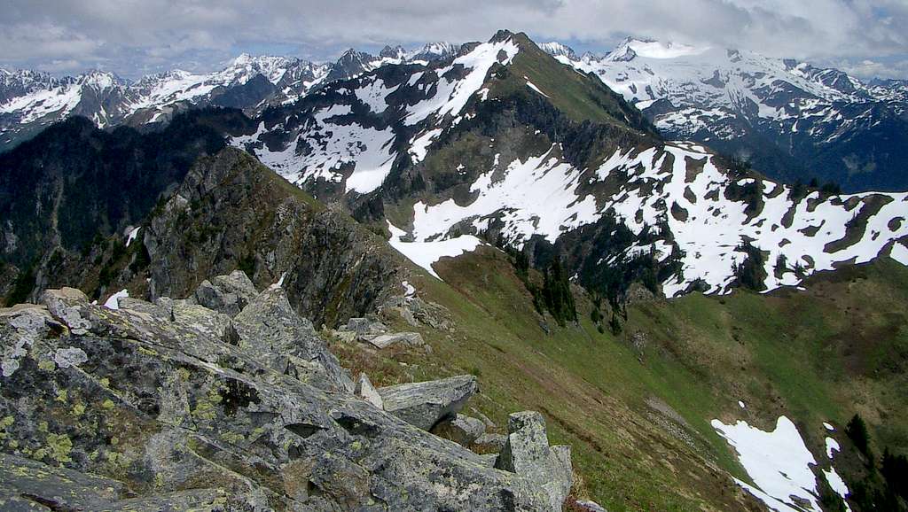
Pilot Peak's lack of popularity is very likely due to the fact that access appears difficult on most topographic maps. Unbeknownst to many, however, is the fact that a well-maintained trail gives easy access to the beautiful high country just west of Pilot Peak. From there, a relatively simple class 2 scramble leads to the summit. Also up for grabs along the way is Pt. 6660, a five-minute side trip offering great views and 672' of prominence. This easy '2fer' is, by all rights, the 'real' Downey Mountain.
Getting There
Navigate yourself to the beginning of FR26 (Suiattle River Road), just east of a steel grate bridge where SR530 crosses the Sauk River. This intersection is located 7.4 miles north of Darrington, and 11.2 miles south of Rockport. Now simply follow FR26 for 21 miles to the Downey Creek Trailhead. The first 10 miles will be paved, followed by 11 miles of gravel and potholes.
Route
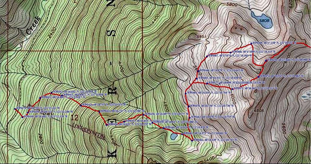
Hike up the Downey Creek Trail for almost exactly two miles. Except for the first 1/2 mile, the trail is almost flat. The turnoff for the secondary trail you are looking for will be 10' past a blazed tree on the left side of the trail, located roughly 1000' past the first creek crossing of significance. You may wish to water up at said creek, as the route will be fairly dry for the next four miles.
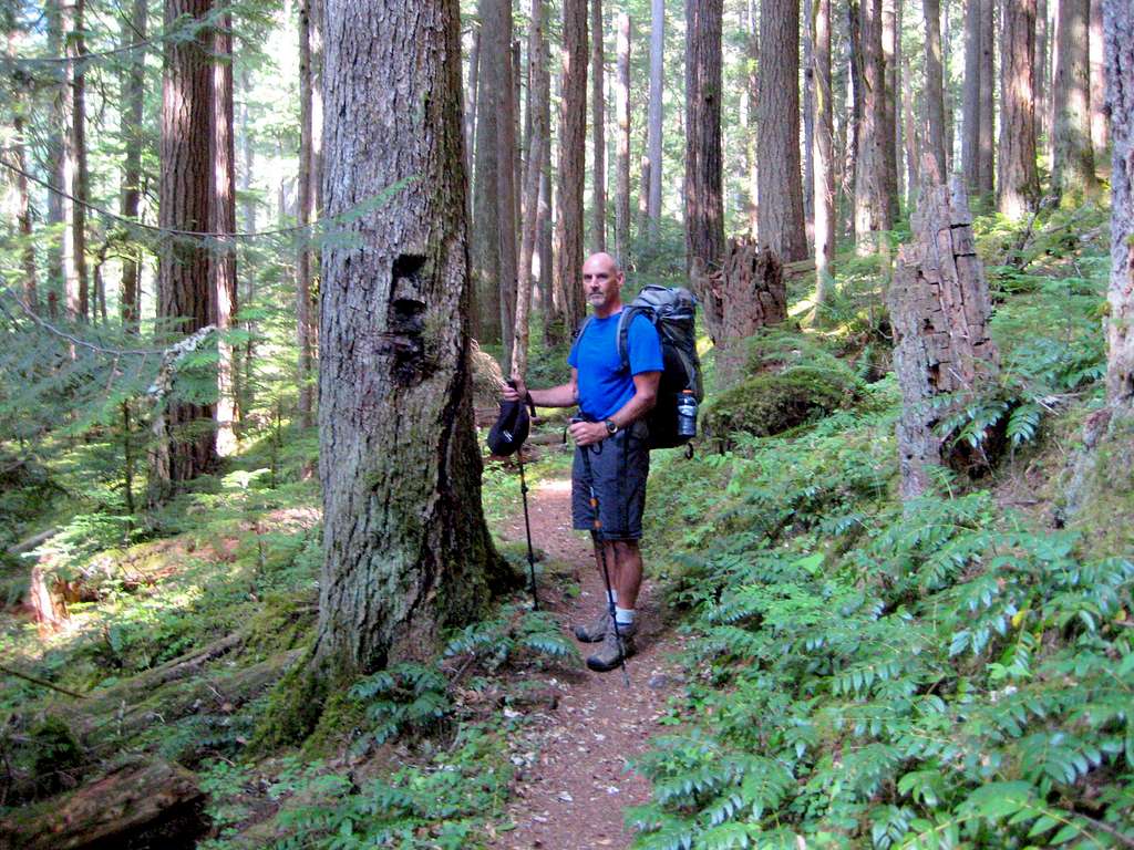
The trail will start off poorly-defined and steep for the first few hundred feet, but will dramatically improve to a well-defined, gentle grade with frequent switchbacks. After hiking this trail for a few miles, you will be convinced that it is an old USFS or CCC trail - it is very well engineered. The rangers at the Darrington Ranger Station, however, insist that it is a 'renegade trail', built in the 60's or 70's to access the alpine lakes high on the ridge by horseback. Regardless, it is the finest 'renegade trail' I have ever hiked on, and it will give you easy access to 5800' on the west side of Pt. 6660 (trail continues to an unnamed lake west of Downey Lake at 5808').
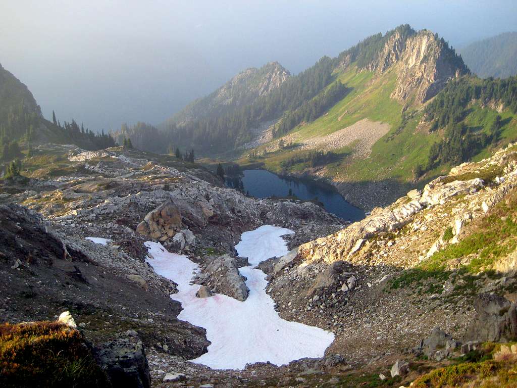
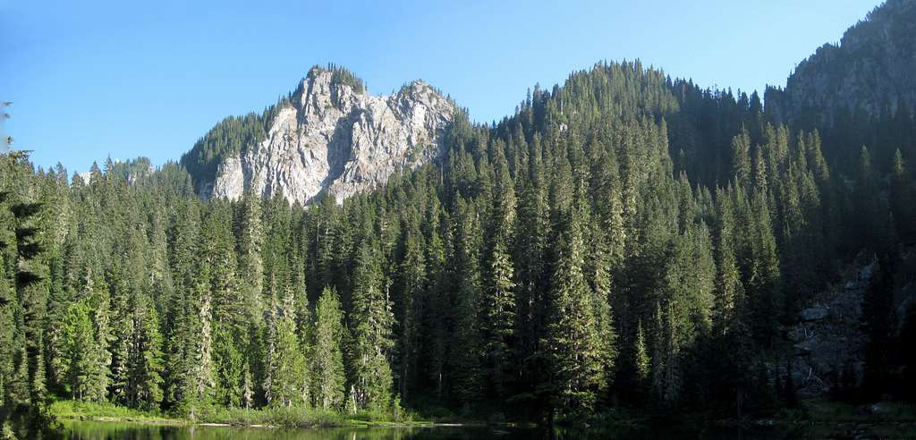
Hike up the secondary trail for three to four miles (the frequent switchbacks are not shown on the route map) to a small, unnamed lake at 4740'. I did find one reference online that referred to this lake as 'Guinea Lake'. There are two possible campsites here, but I would highly recommend the much more scenic campsites above the treeline. Be advised that in late season, the outlet creek for this lake will be your last chance for running water for the rest of the route - you have been warned!
A short distance past the lake, the trail will begin a rising traverse north to the meadowy slopes on the west flank of Pt. 6660. There are numerous suitable campsites in this area, and in late August, the blueberries are amazing. You must now decide if you want to travel north or south around Pt. 6660. Having tried both routes, the 'North Route' seemed slightly easier, but may present a steep snowfield regaining the ridge in early season. For us, it presented an unpleasant, but short traverse on slippery scree.

If you decide on the 'South Route', a fairly straightforward scramble will bring you to the saddle immediately south of Pt. 6660 (might be tedious if the vegetation is wet).
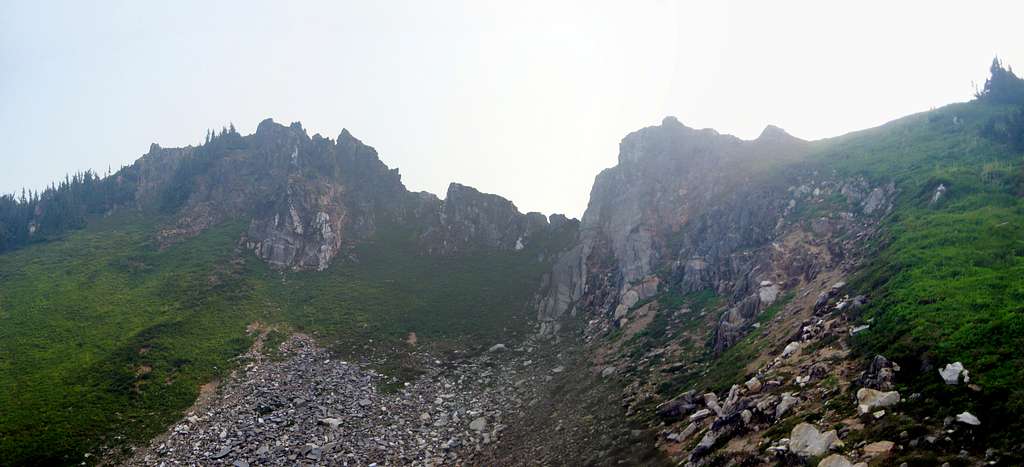
At this point, you may want to take the time to scramble to the top of Pt. 6660 (easiest from the northeast). For many hikers, this high point will be enough - for those continuing on to Pilot Peak, it will give you a chance to preview the route.
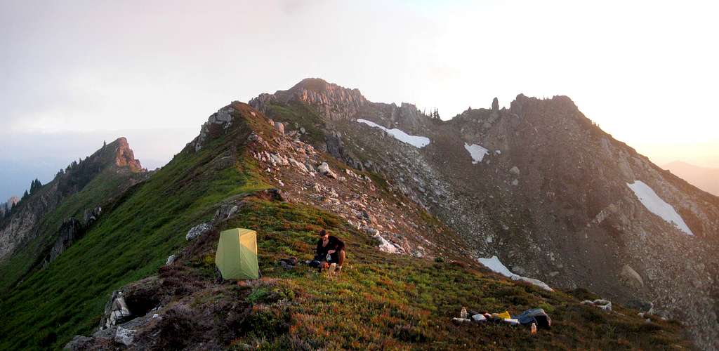
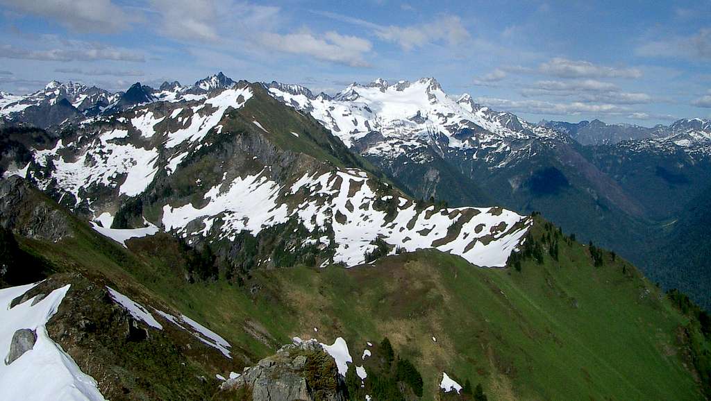
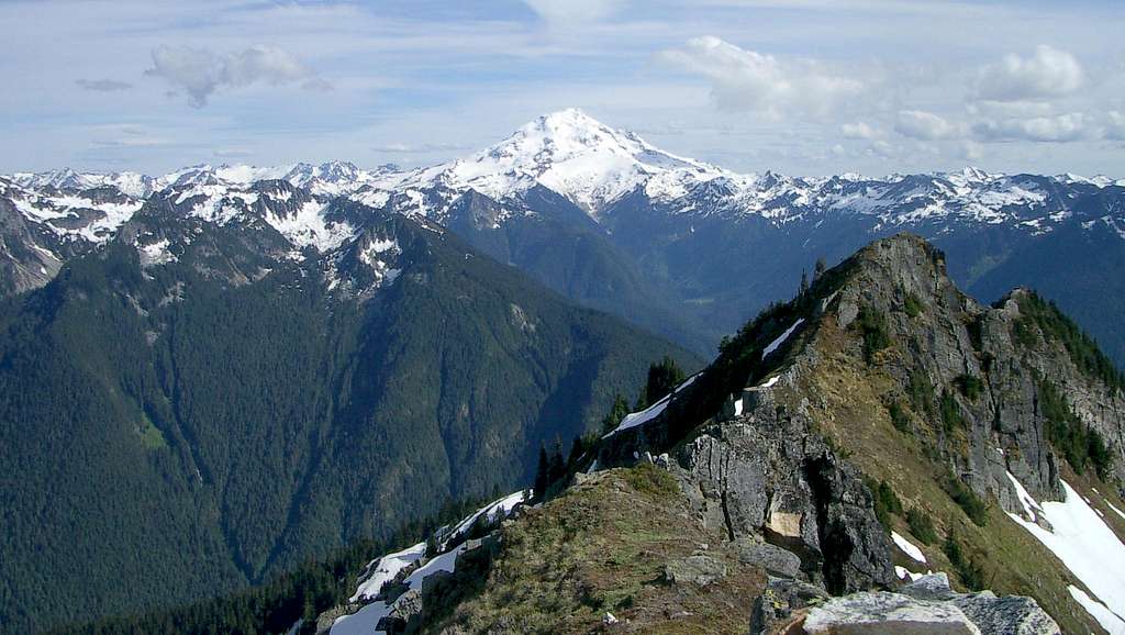

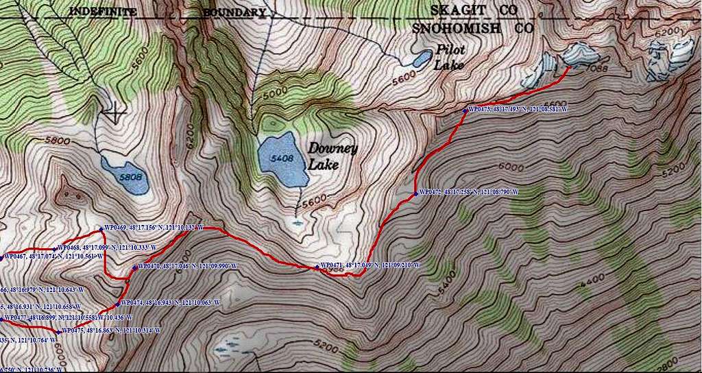
The final scramble to Pilot Peak is not particularly challenging. For the most part, the idea is to stay on the ridge crest as much as possible, which avoids frustrating sidehill traverses. There will be a few occasions where scrubby subalpine firs will force you off the crest, generally to the right (south) side of the ridge. You should be able to follow a goat path for most of the ridge between Pt. 6660 and Pilot Peak - when in doubt, do what the goats do.
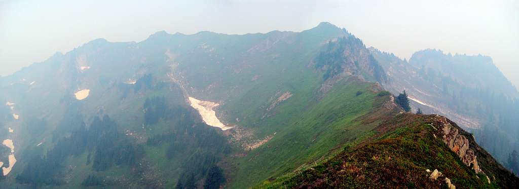
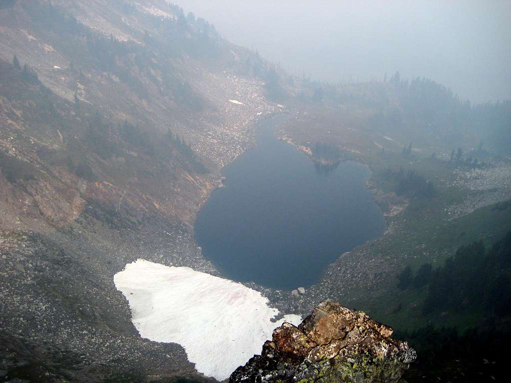
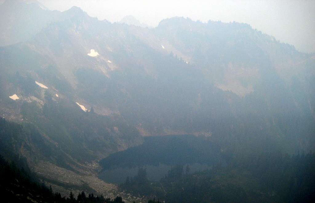
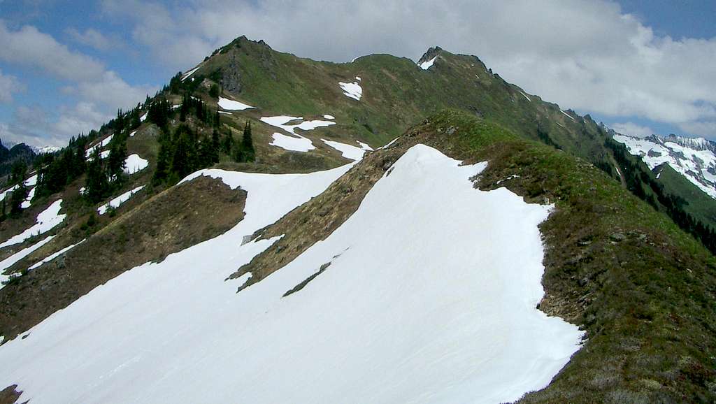
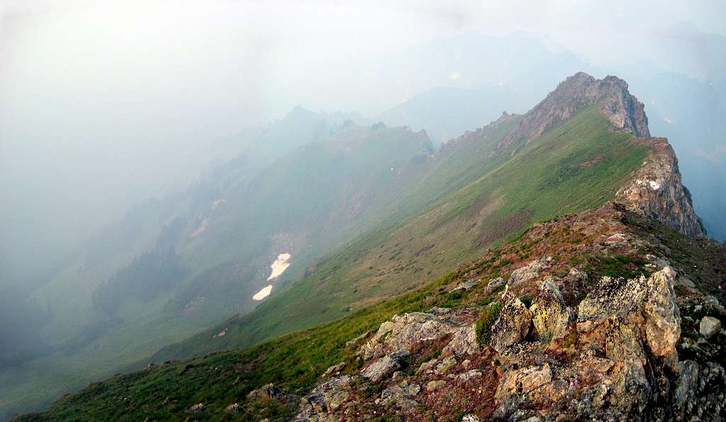
The final push to the summit will be steep, grassy slope for all but the last 20'. If, at any point you are doing anything harder than class 2, you are probably doing something wrong.
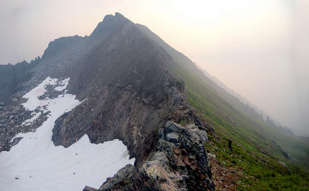
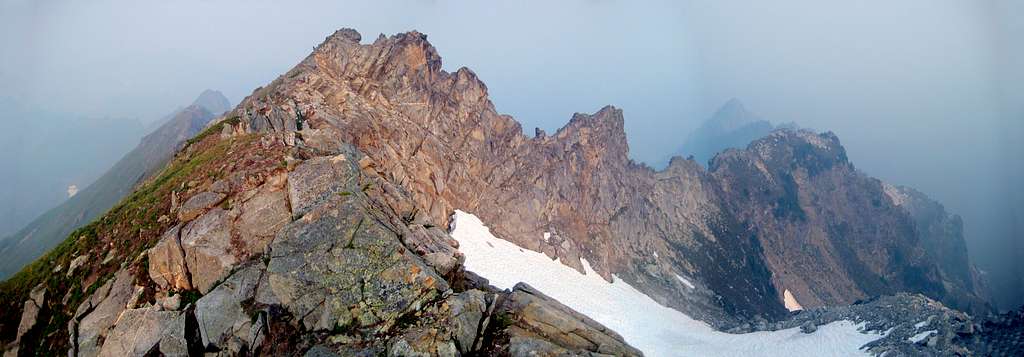

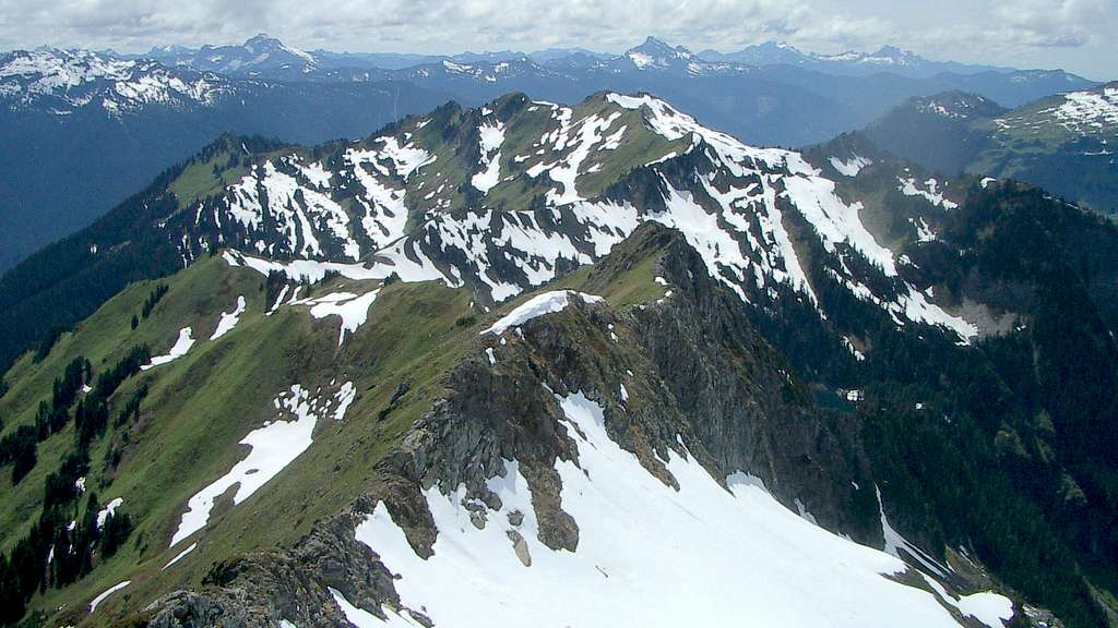
Pilot Peak is in a perfect position for amazing views. Unfortunately for us, we were completely smoked out. I am deeply indebted to Fay Pullen for sharing her photos from a June 2005 trip up Pilot Peak with Mike Collins. Any photo in this presentation that is not obscured by smoke has been stolen (with permission) from her archives.
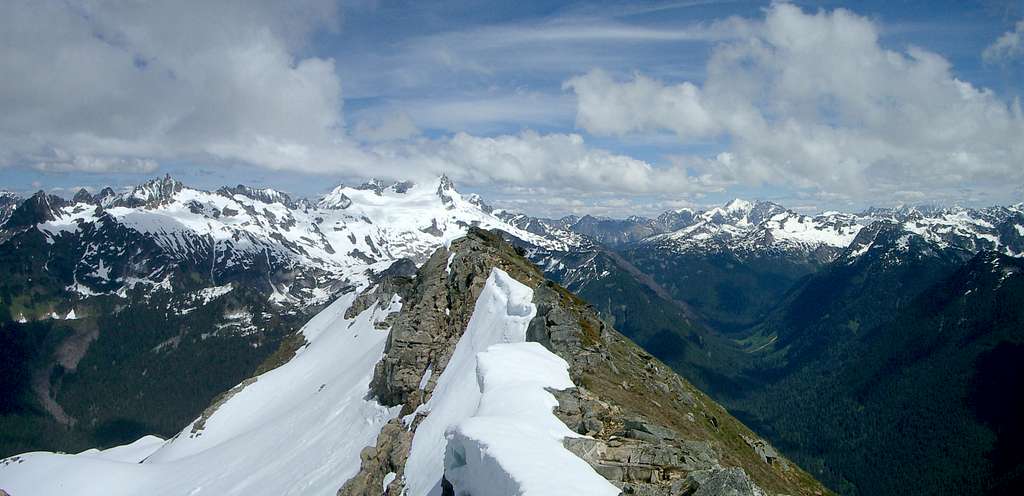
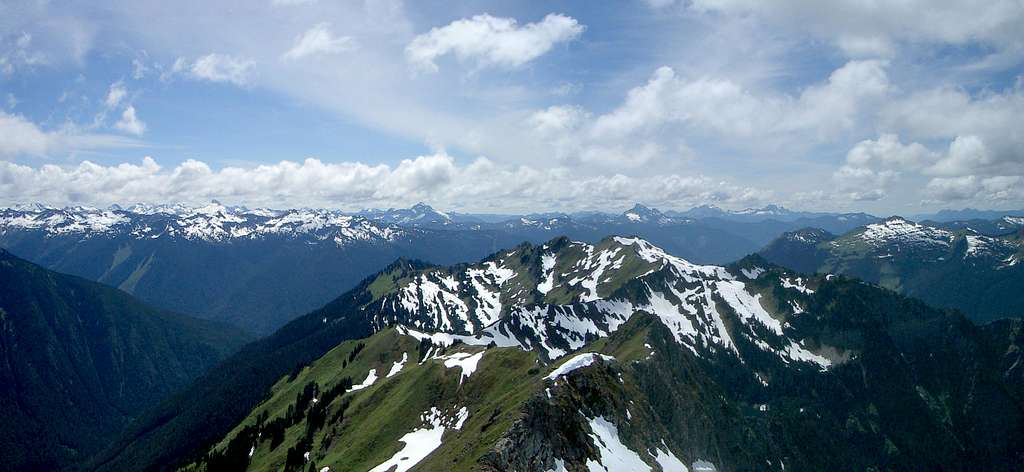

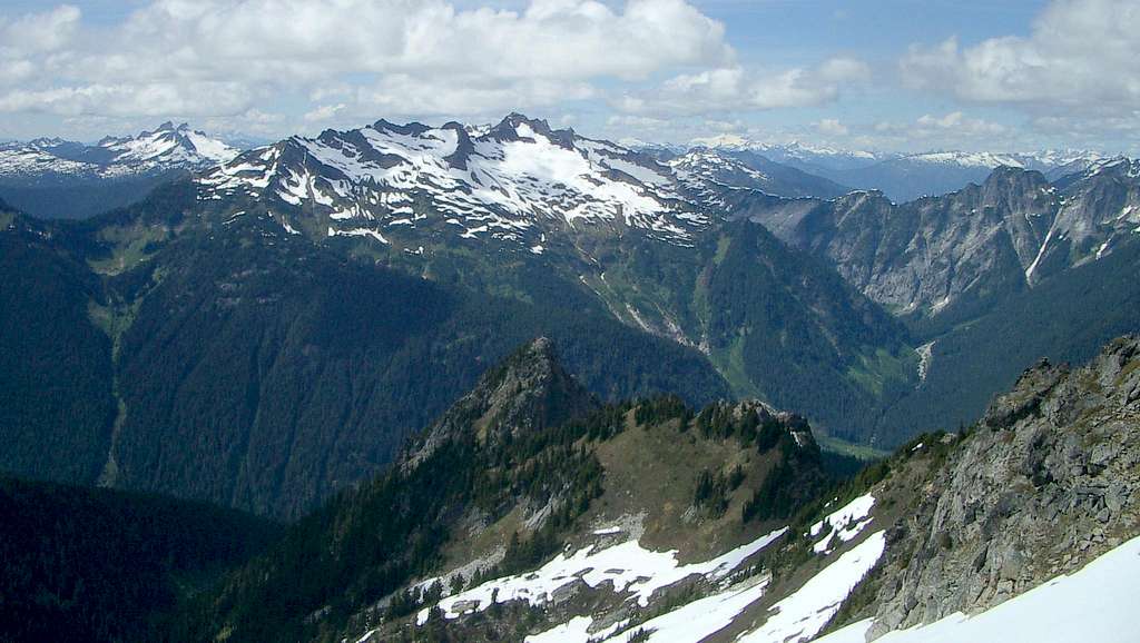
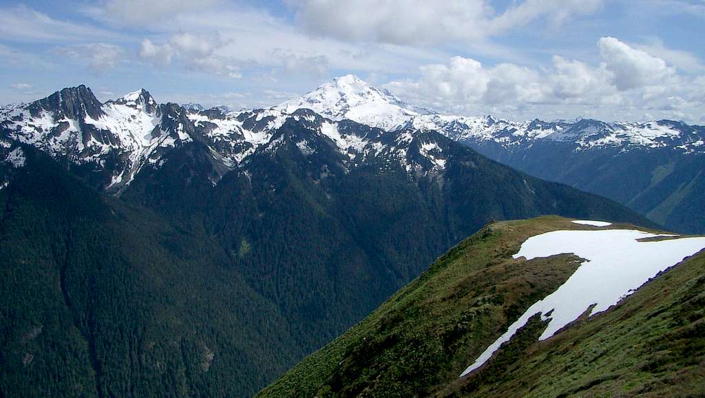
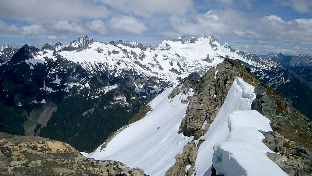
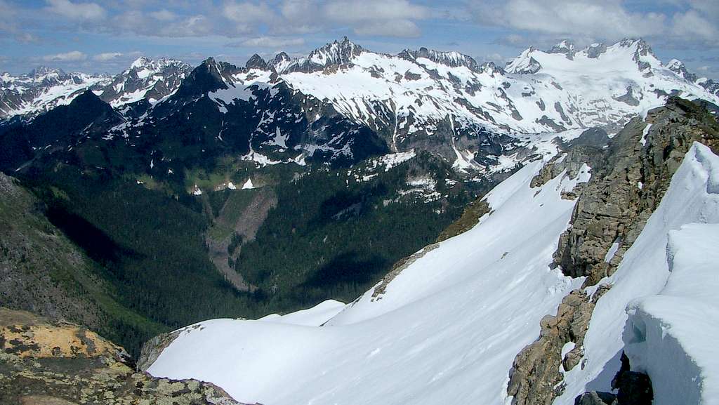
Red Tape
A Northwest Forest Pass is required to park at the Downey Creek Trailhead.
When to Climb
Just a wild guess on my part, but May to October would probably be best.
Camping
There are several designated campgrounds along the Suiattle River Road for those who wish to camp in luxury. For those who wish to camp on the route, the first campsite that is suitable would be at Guinea Lake (Lake 4740). For camping above the timberline, the first good camp is at Waypoint 478 at 5200', and the last is at Waypoint 472 at 6300' - with scores of great campsites in between.

