
Comments
No comments posted yet.
|
|
Trip Report |
|---|---|
|
|
45.18944°N / 116.4127°W |
|
|
Download GPX » View Route on Map |
|
|
Jul 8, 2021 |
|
|
Summer |
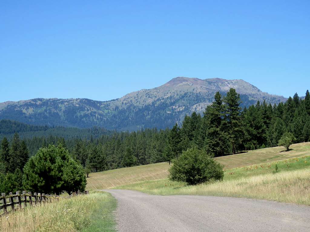
The 8048 ft Pollock Mountain rises to the northeast of New Meadows, Idaho. It has a well-established trail that starts at an elevation of 4625 ft. A number of rough abandoned logging roads go higher up the slopes interesting the trail. I had no information on the condition of the roads and did not want to get stuck on a potentially impassable road so I decided to start at the 4625 ft trailhead.
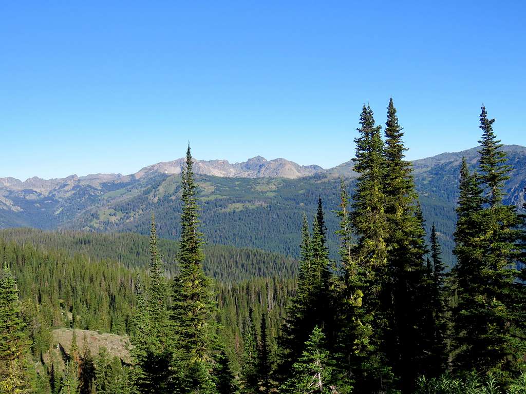
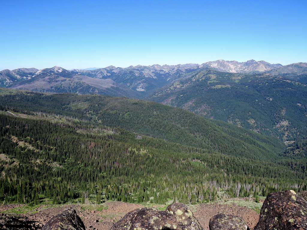
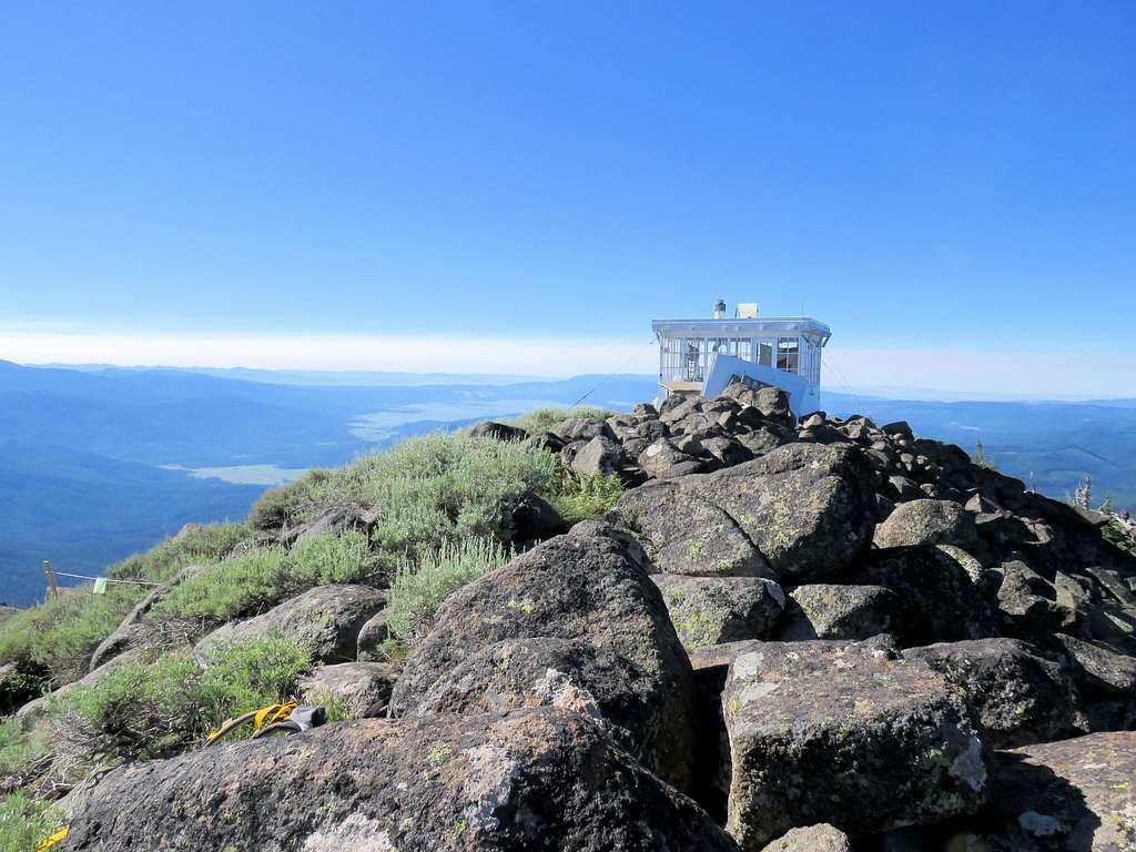
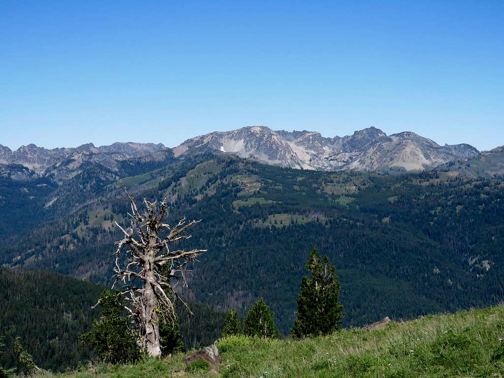
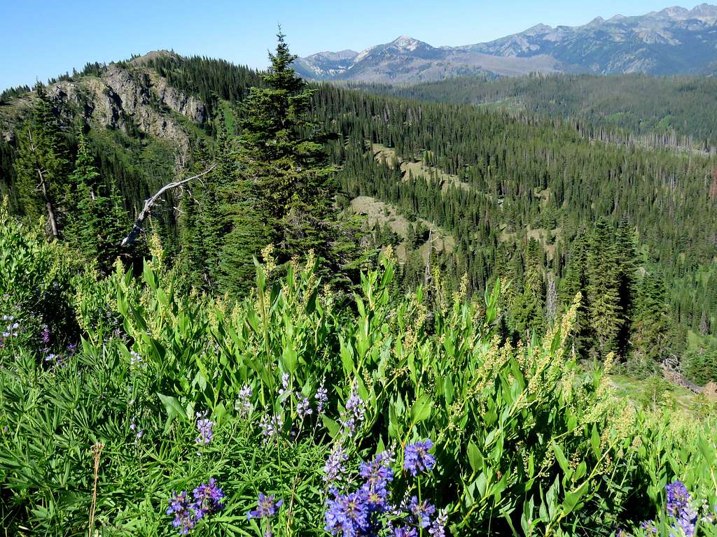
Due to its relative isolation, the summit of Pollock Mountain can provide you with great views of the surrounding mountains including the jagged peaks of the Seven Devils Range. A forest service fire lookout cabin constructed in 1930 can be found on the summit
Trailhead Elevation: 4625 ft
Summit Elevation: 8048 ft
Hike Length: 9.7 miles
Total Ascent: 3470 ft
Left the vacation rental house north of Riggins, Idaho before 5:10 AM (sunrise 6:10) and drove more than 25 miles south on Route 95 following Salmon River and then Little Salmon River at the bottom of the canyon to reach Smokey Boulder Road. At the home, elevation had been 1700 ft and the surrounding slopes had been barren but at the junction of Smokey Boulder Road, I had gone up to 3800 ft and was in a forest of pine trees. Drove the well-graded dirt road shy of 7 miles to reach the signed trailhead for Pollock Mountain. No one was there and I did not see anyone while going up the mountain.
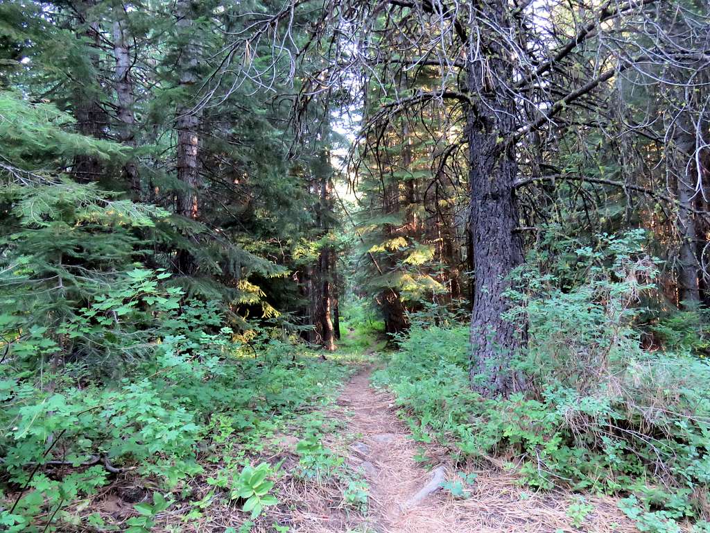
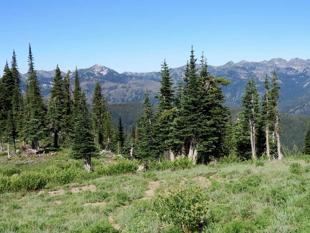
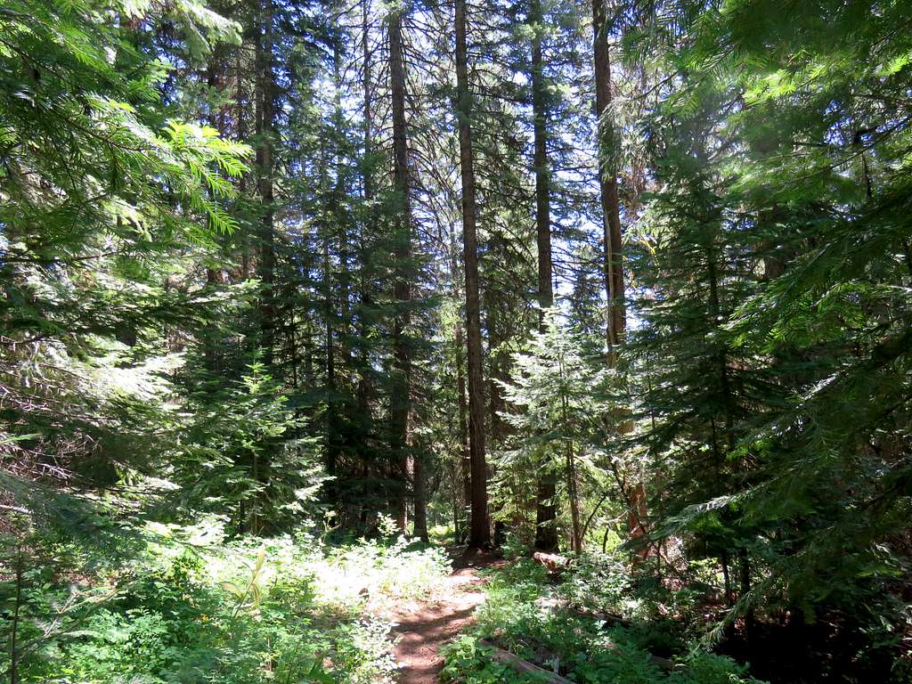
It was my 5th day of hiking in the area and I had dealt with hot temperatures on the previous hikes. Was glad to see the temperature down to 41 degrees F. Started my hike at 6:08 AM following the trail uphill into a forest of pine trees. The forest was actually rather open with many areas of bushes and shrubs in between the trees.
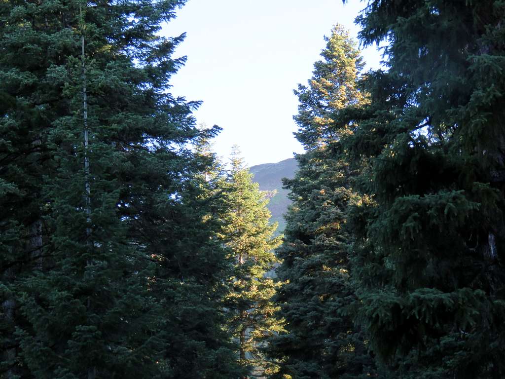
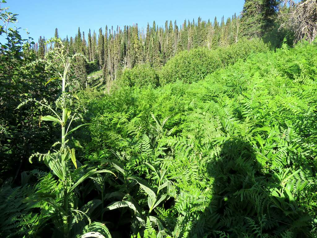
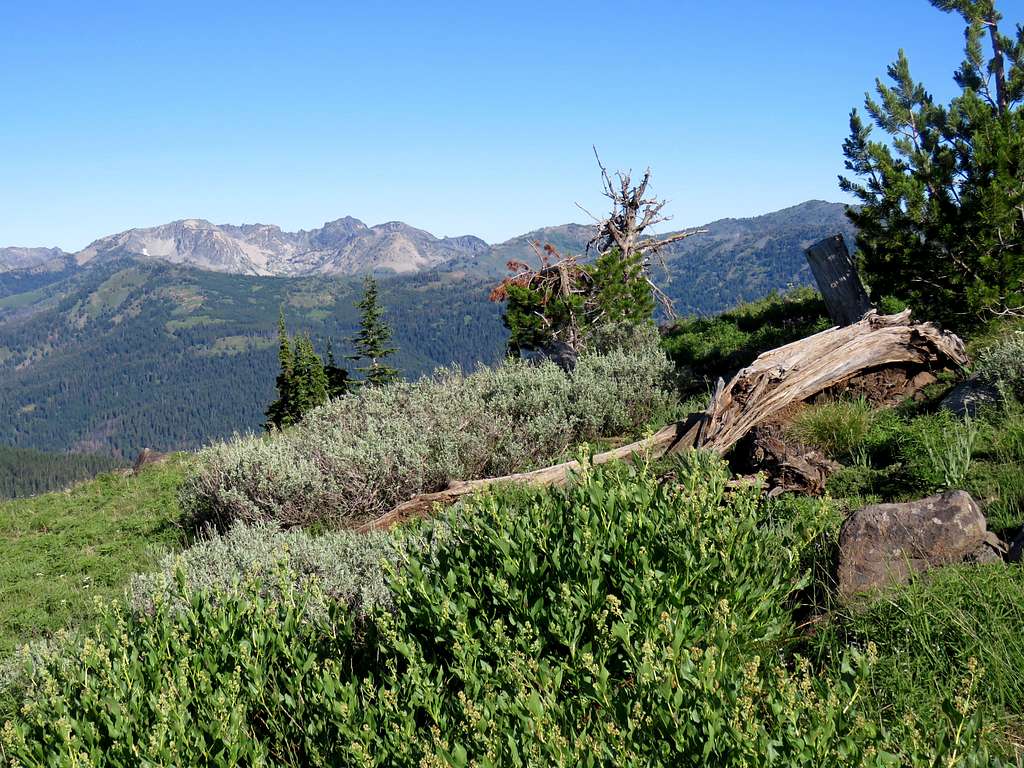
The trail intersected what looked like abandoned logging roads several times and for a time it actually followed a road. I had read that there were sections of “old growth” trees on the trail and was looking forward to seeing those sections. After 1.7 miles, at 5400 ft elevation I reached what at the time felt like nice tall trees although my pictures did not come out very impressive. I had had no view of Pollock Mountain. Only in one spot, I got a glimpse of the slopes of the summit.
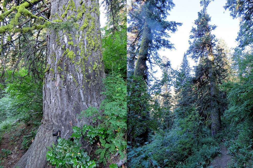
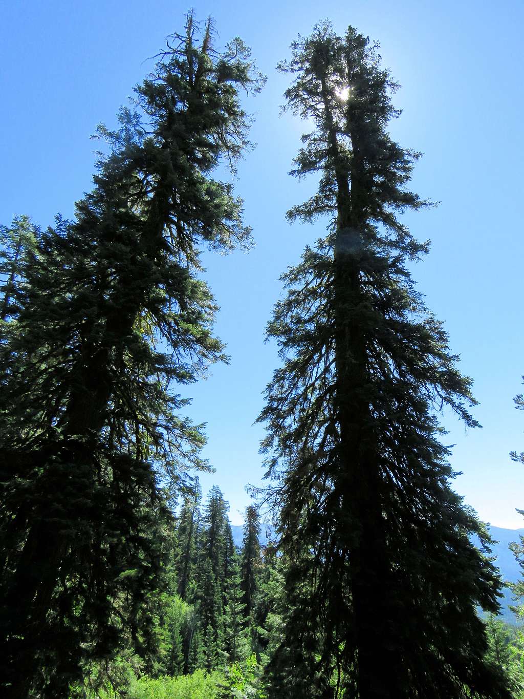
Reached a place identified on the map as Chokecherry Flat at 7:10 AM, 5660 ft and 2.1 miles. That was the end of the road. Beyond that, the trail went up steeply and then began to make switchbacks. Old trees with large diameters appeared here and there. Put my hiking pole next to one for scale and took a picture up close and from a distance.
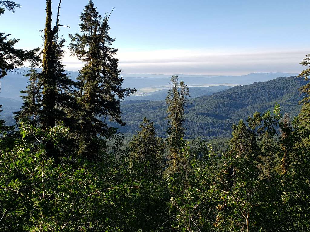
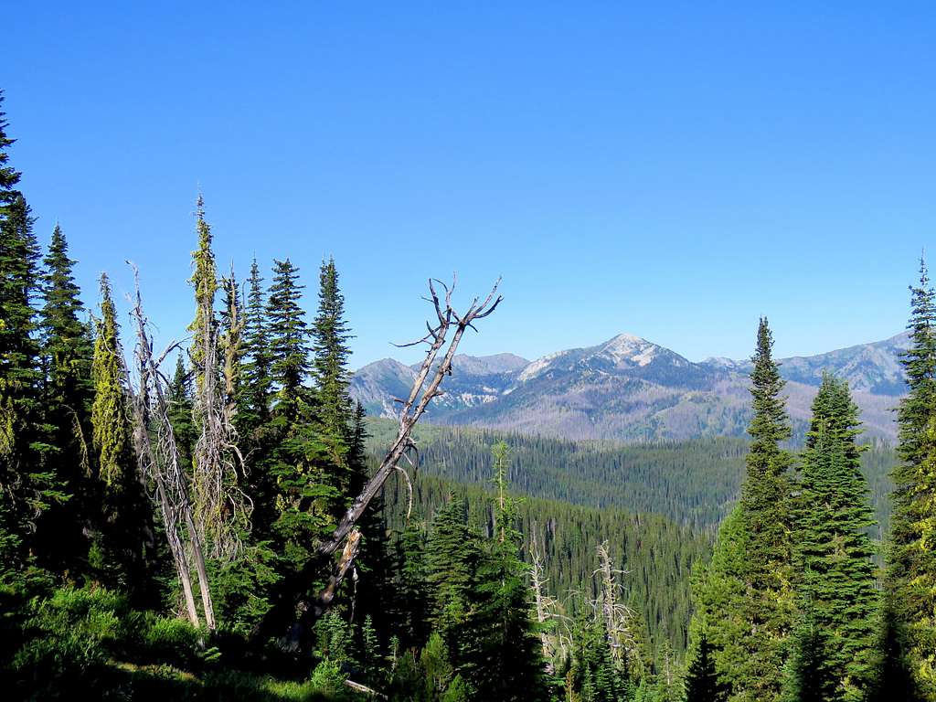
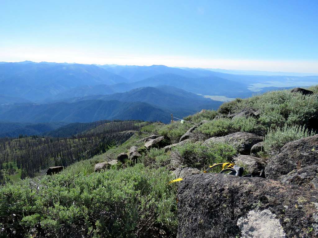
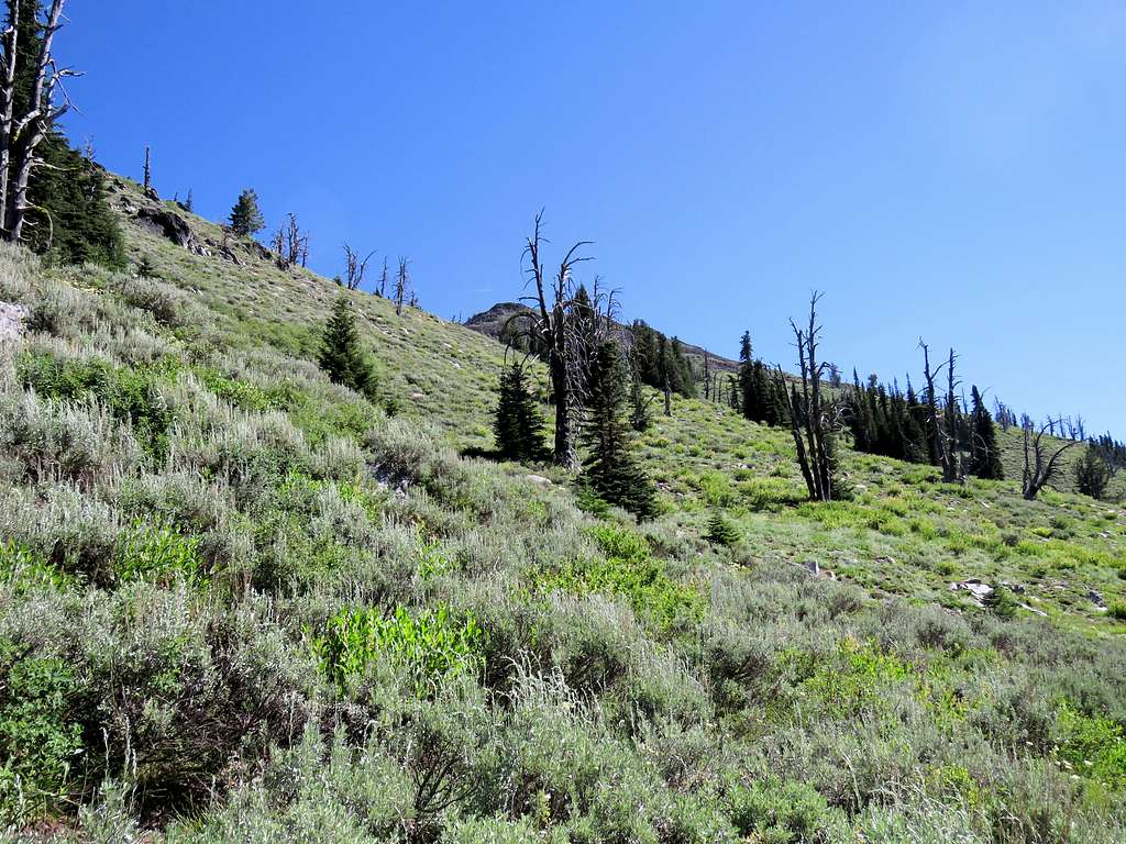
The forest began to thin out when I reached 6500 ft elevation. A view of the plain to the southeast toward the town of New Meadows.
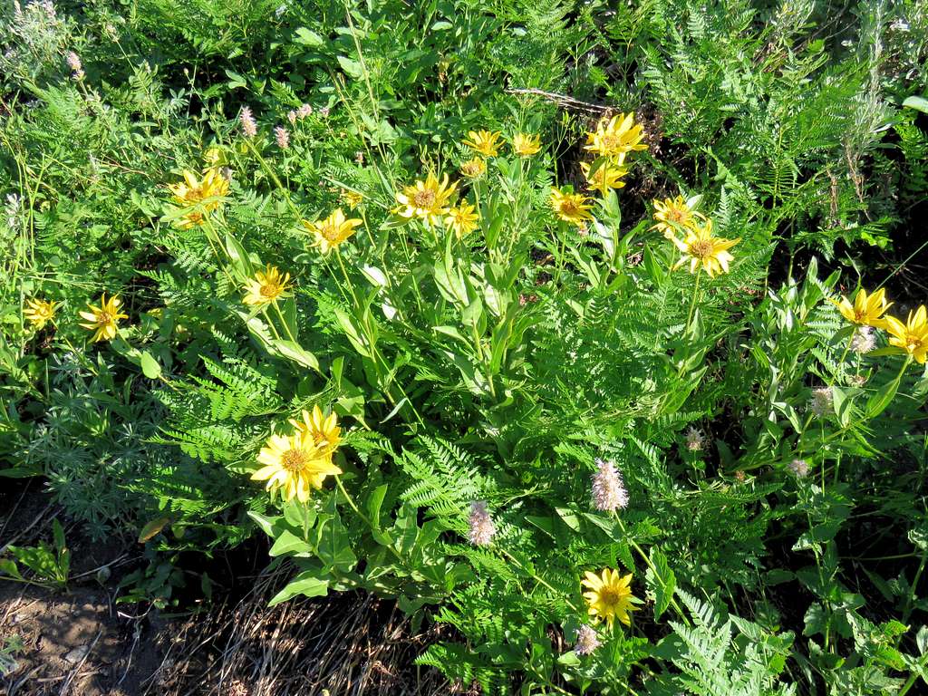
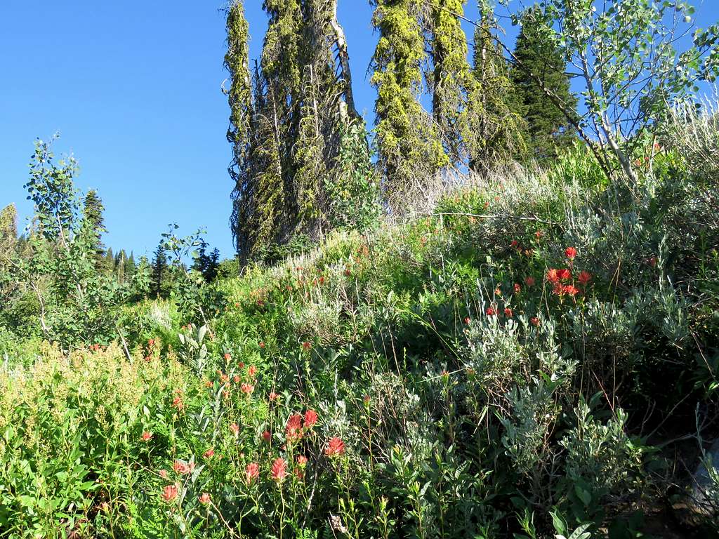
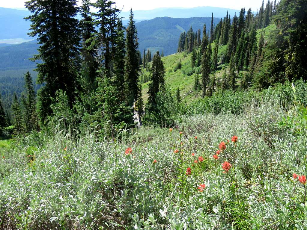
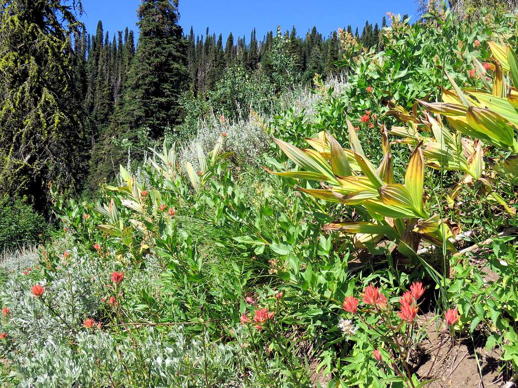
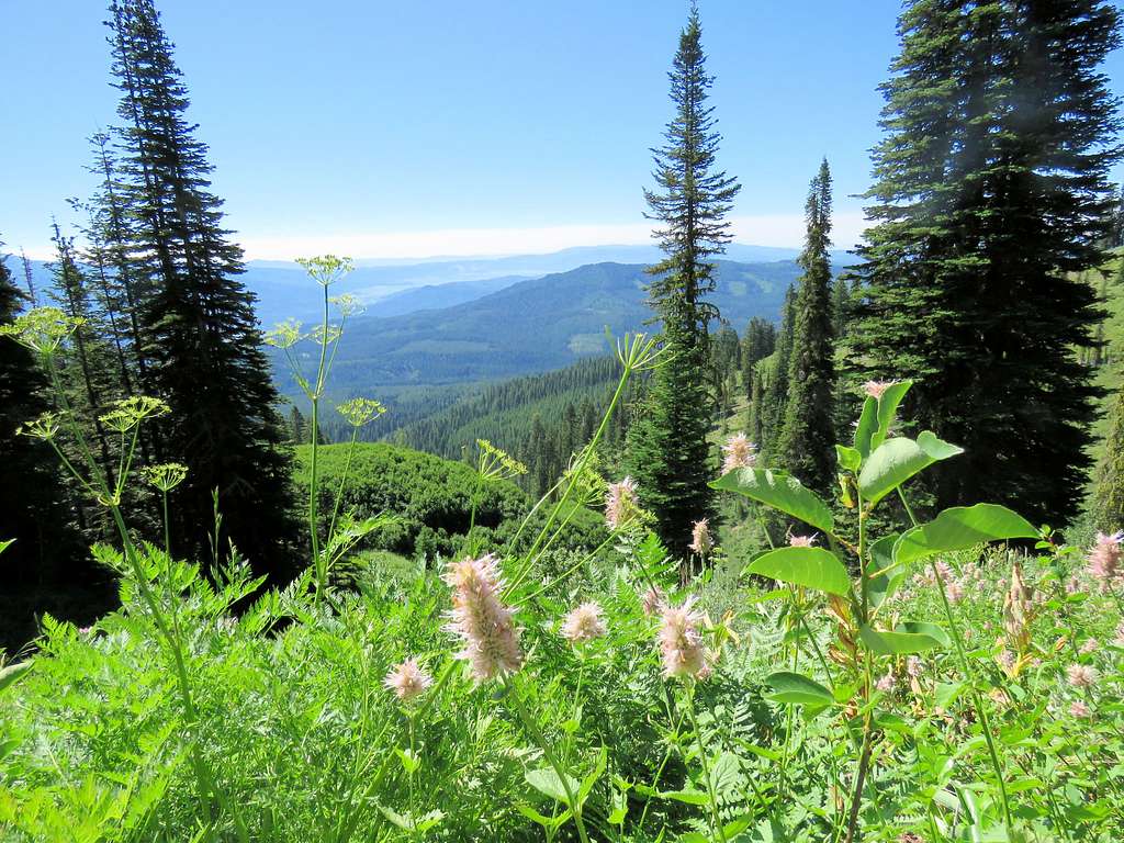
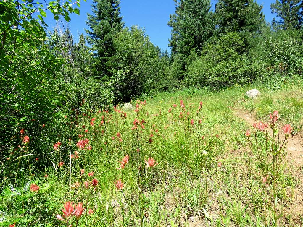
I then reached a place covered with beautiful flowers and grasses. It was nice to see that given the hot temperatures and what I thought were drought conditions.
In one place, the trail was hidden under tall grasses. Used my hiking poles to make sure I did not step on any snakes.
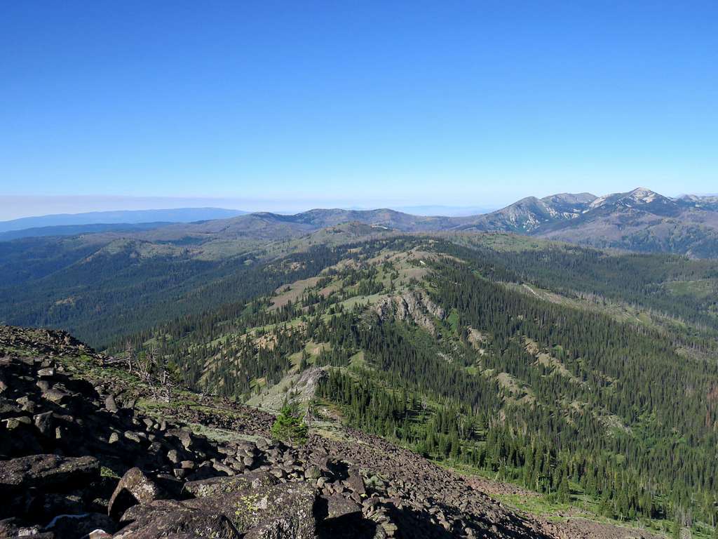
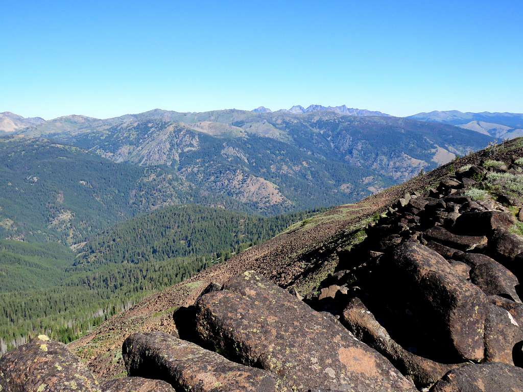
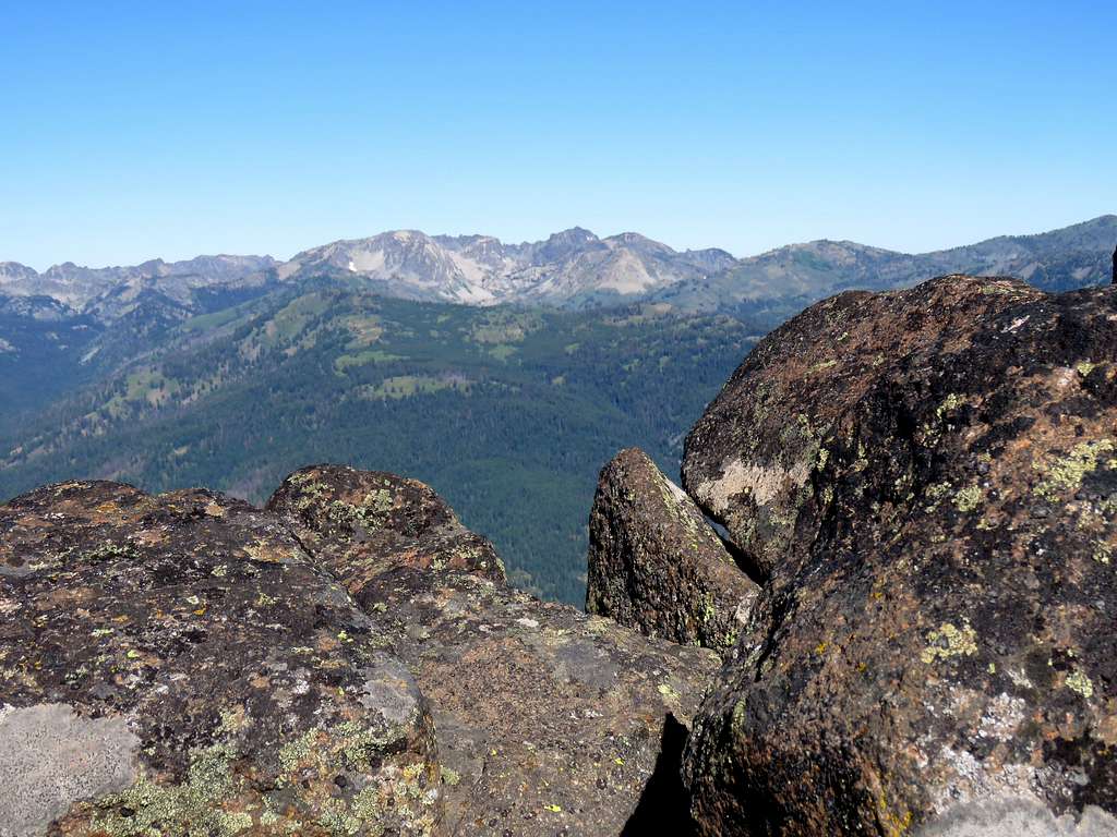
Went by a spring and reached Cold Springs Saddle at 8:33 AM, 3.83 miles and 7200 ft elevation. Got great views of the peaks to the west.
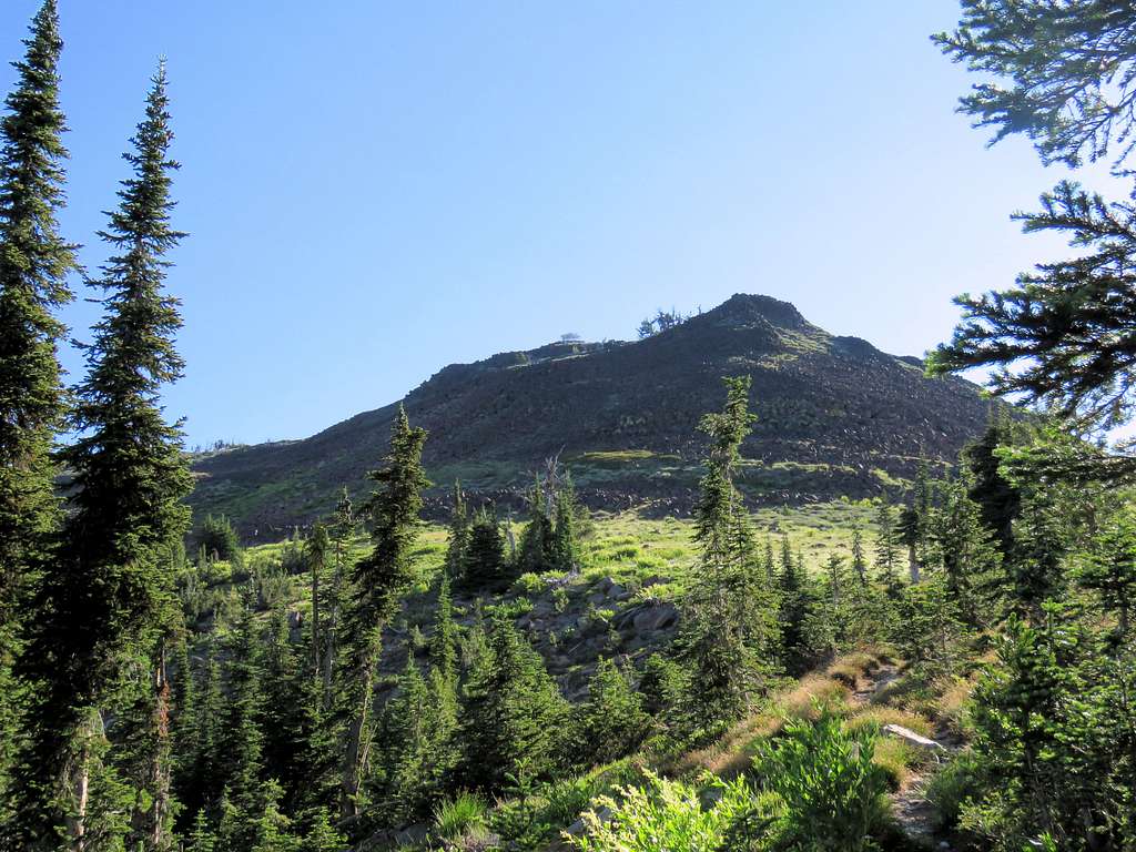
I had reached Rapid River Ridge Trail at that point. There were no signs and had to pay attention to get on the correct trail to the summit, the beginnings of which were not well defined. View of the summit.
View toward the town of New Meadows.
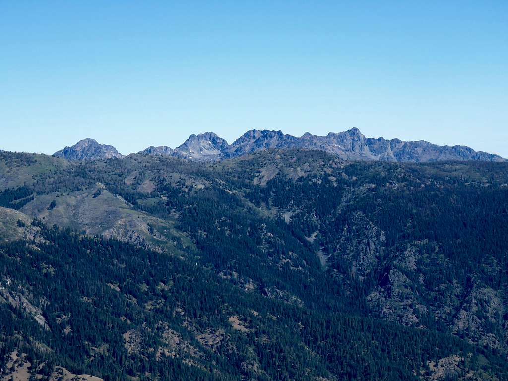
Monument Peak.
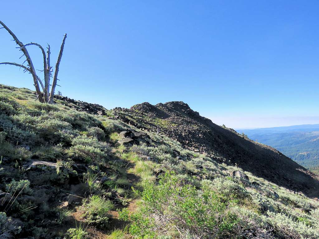
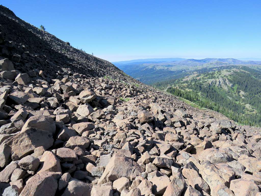
Went up a boulder field.
The final push to the summit.
Reached the summit at 9:35 AM and 4.90 miles. A no trespassing sign said that the lookout cabin was private residence. There was no sign of anyone in the cabin for the duration that I was there. Sat among the boulders to eat and enjoy the views.
Looking southwest at Echols Mountain.
West-Southwest at Monument Peak and Echols Mountain.
Seven Devils Mountain to the northwest.
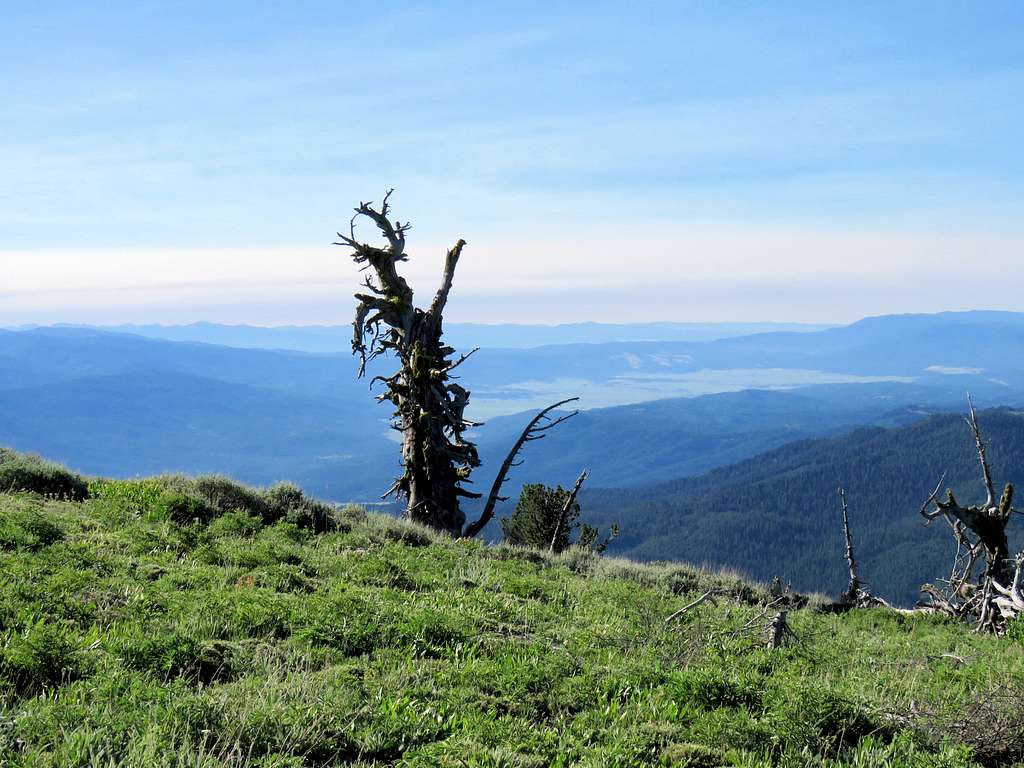
Looking southeast.
Summit cabin.
Monument Peak to the west.
Left at 10:00 and began to go back down. Boulders below the summit.
Came across a couple hiking up. Those were the only hikers I saw. More views of Echols Mountain and Monument Peak.
View of summit below Cold Springs Saddle.
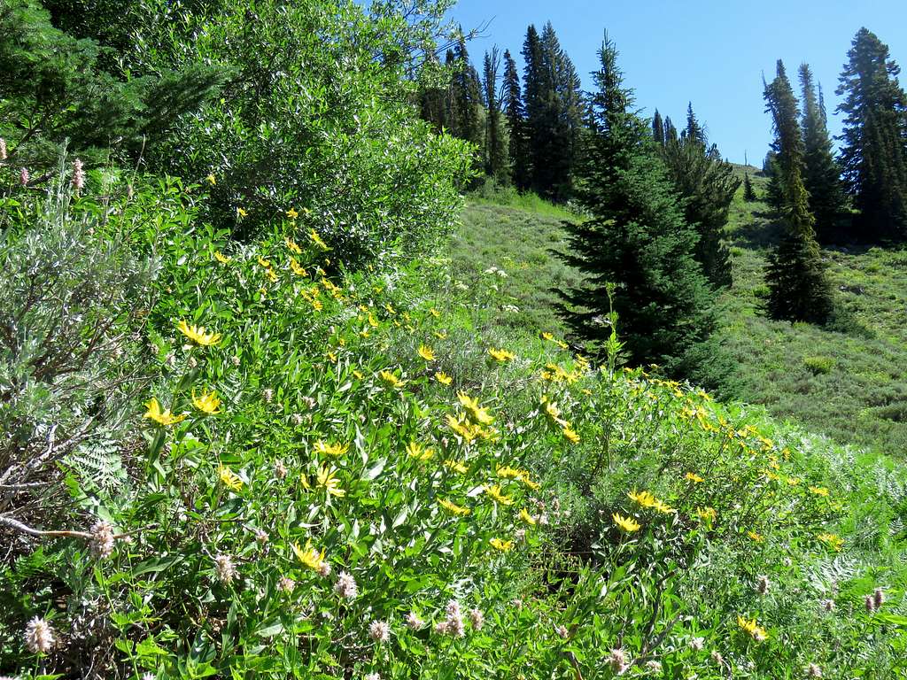
Flower zone again.
Big trees.
On the lower trail saw a big pickup truck in a place where the trail intersected the road far below Chokecherry Flat. Must have belonged to the hikers I had seen.
Reached my Jeep at 12:35 PM. It was 80 degrees F. A fire truck and a number of fire fighters were there. I think they were just practicing. They soon went into the forest. Driving back on Smokey Boulder Road, in an open area, I got a great view of Pollock Mountain behind me.
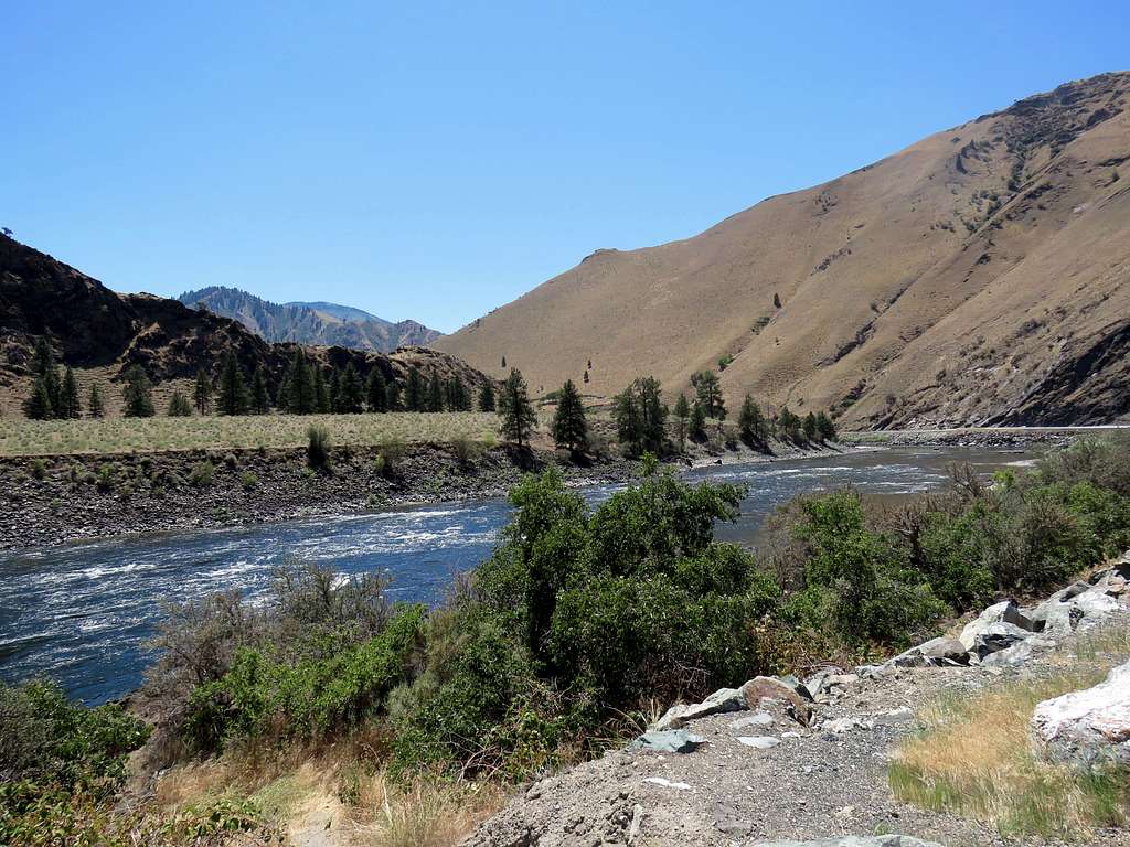
Stopped just before the home north of Riggins to take a picture of Salmon River. High temperature reached 101 degrees F later.