Toggle navigation
Mountains
Routes
Images
Trip Reports
Forum
What's New
People
Areas & Ranges
Articles
Trailheads
Canyons
Huts & Campgrounds
Albums
Logistical Centers
Fact Sheets
Lists
Custom Objects
Gear
Plans & Partners
WELCOME TO SUMMITPOST
SIGN IN
REGISTER
The Rocks Route
Additional Parents
Image
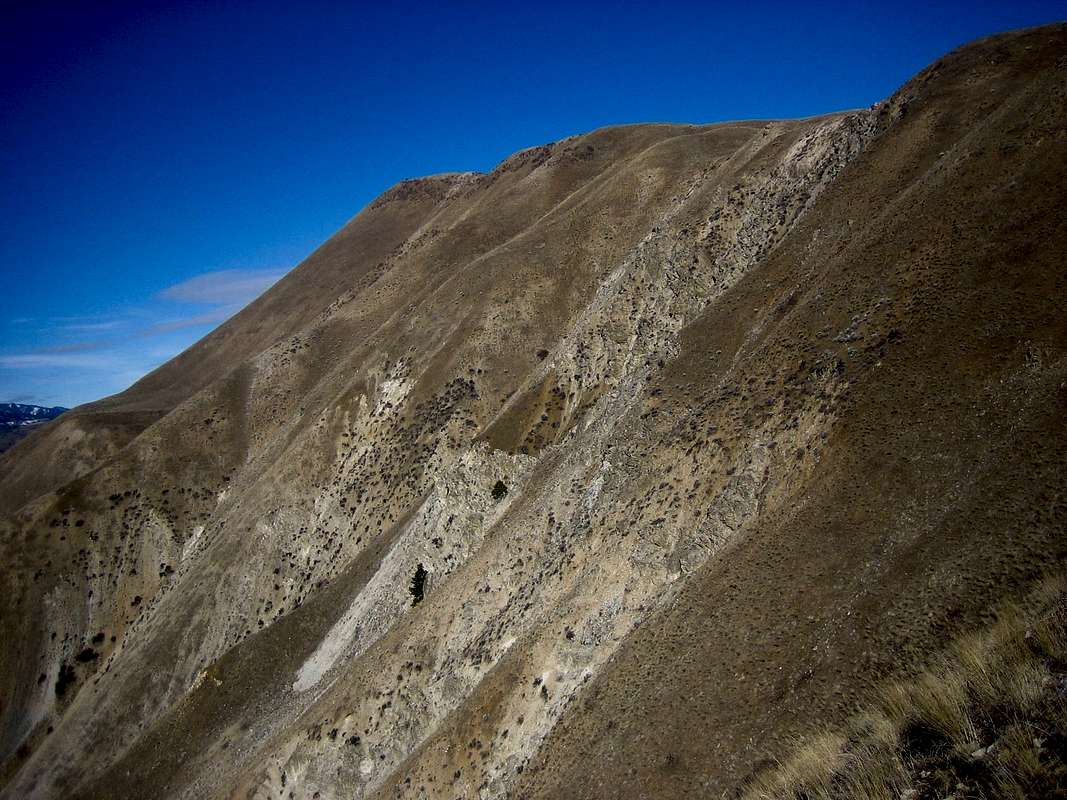
Rocks Route
View High-Resolution Image
Rocks Route
The steep Rocks Route as seen from the side and the descent route. The summit is also clearly visible. Cervidae is one of the closest steep mountain scrambles to Boise, Idaho.
« PREV
NEXT »
SawtoothSean
on
Feb 5, 2007 12:09 am
Comments & voting
Other parents
Lat/Lon:
43.61410°N / 115.974°W
Image Type(s):
Hiking
,
Scenery
Image ID:
267003
2643 Hits
74.01
% Score
4
Votes
Log in to vote
Comments
No comments posted yet.
to post!
Don't have an account?
The Rocks Route
(Route)
« PREV
Viewing
#4 of 11
GALLERY
NEXT »
SawtoothSean's Image Gallery
« PREV
Viewing
#1232 of 1864
GALLERY
NEXT »
Cervidae Peak
(Mountain/Rock)
Loading....
×
You need to login in order to vote!
User Name
Password
Remember me
Forgot your password?
Log me out when I close my browser.
Keep me logged in all the time.
sign in as a user
Don't have an account?
Register now for FREE
Rating available
Suggested routes for you
People who climb the same things as you
Comments Available
Create Albums
Register Here


