Route to the summit; Pissis...
Route to the summit; Pissis East II.
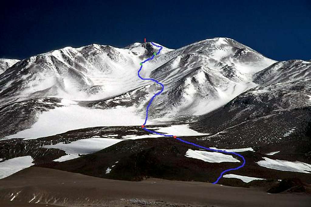
First red spot - good camp spot. Ok shelter from high winds and plenty of water sources, even running water. 5520m.
Second red spot - another camp spot, but no running water. 5650m.
The route to the first green spot: most of the way a mix of snow, ice and rocky parts. Max. 45 deg. Close to the green spot, the snow was waist deep and we had to head for the rocks on the right.
The route to the second green spot: Some rock falls and be careful to choose the right line as there are some quite difficult parts here.
The way to the red marker/summit: Climb up the saddle in between East I and East II. I choose East to which is to the peak marked here. It's hidden behind the ridge you have to negotiate. You better make some traverses as there are 65 deg. parts of ice and snow on the way to the ridge line. The last part on the other side of the ridge is an easy walk.


