
|
|
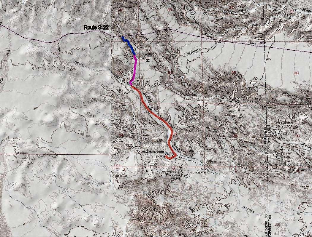
Route |
|---|---|
|
|
33.25484°N / 116.11071°W |
|
|
Hiking |
|
|
Winter |
|
|
Half a day |
|
|
Hike |
|
|
Overview
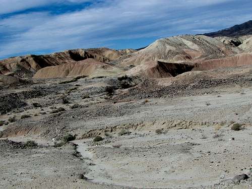
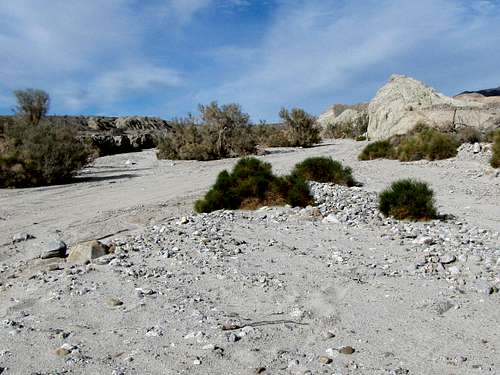
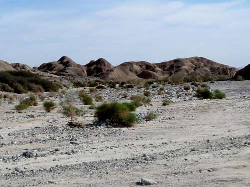
At the southern base of the Santa Rosa Mountains in Southern California’s Anza-Borrego Desert State Park, you will find an arid plane crisscrossed by small canyons and dry washes. Three palm tree oases bring a sudden burst of life to this otherwise desolate land. These include: Seventeen Palm Oasis, Five Palm Oasis and Una Palma Oasis.
Seventeen Palm Oasis is the largest of the three oases (when I was in the area, I actually counted close to 30 palm trees) and is usually accessed via a sandy four wheel drive road that follows the dry surface of Arroyo Salado. To better experience the desert, I highly recommend that you hike the road (you are likely to not see any vehicles). As an alternative, I describe below an approach starting in the North Fork of Arroyo Salado making the one way hike 1.2 miles shorter.
Getting There
Arroyo Salado: The Arroyo Salado four wheel drive road branches off of the south side of Route S-22 at mile marker 34.8 at Arroyo Salado Primitive Campground 15 miles east of Christmas Circle in Borrego Springs, CA.
North Fork of Arroyo Salado: This is an inconspicuous unmarked little canyon on Route S-22 between mile markers 36 and 37. I found enough space to safely park one car. If you chose to start here, you obviously need to be able to identify the correct canyon. GPS Coordinates are: 33 degrees 16.915 minutes North, 116 degrees 07.390 minutes West.
Route Description
As mentioned above, the most direct route is to start where Arroyo Salado branches off of Route S-22. This description starts at the unmarked North Fork of Arroyo Salado on Route S-22 taking you into an interesting little canyon.
Looking into the North Fork of Arroyo Salado Canyon from Route S-22.
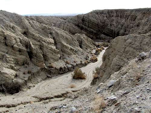 North Fork of Arroyo Salado
Go down a steep slope to reach the bottom of the canyon. Looking back at the road embankment.
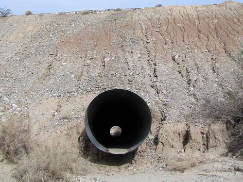 Road embankment
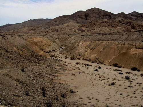
Follow the bottom of the canyon down a series of curves.
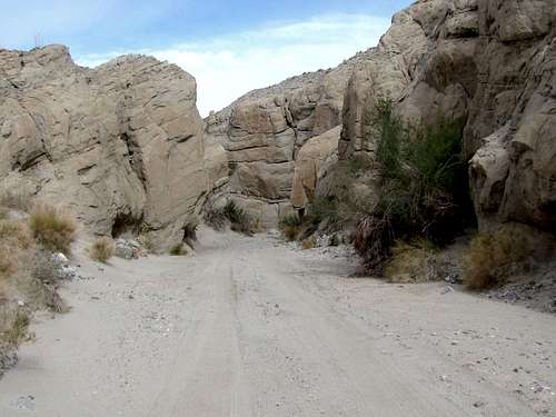 North Fork of Arroyo Salado
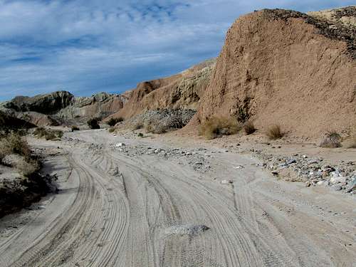
The canyon opens and you reach the junction of Truckhaven four wheel drive road. Turn right (west) onto the road and follow it uphill to get out of the canyon.
 Out of North Fork of Arroyo Salado
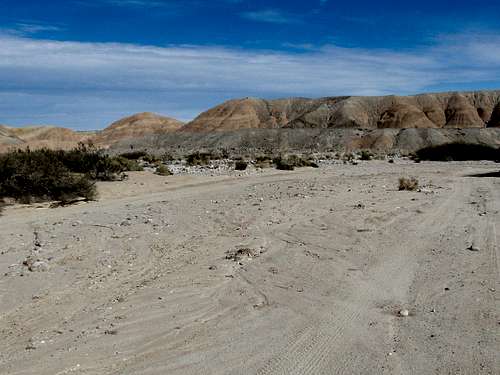
Follow the road on the surface of a plain.
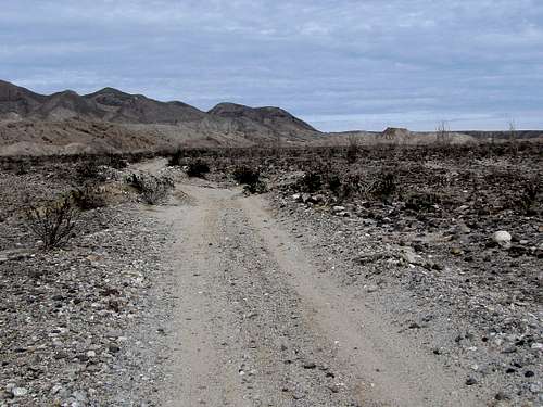 Truckhaven Road
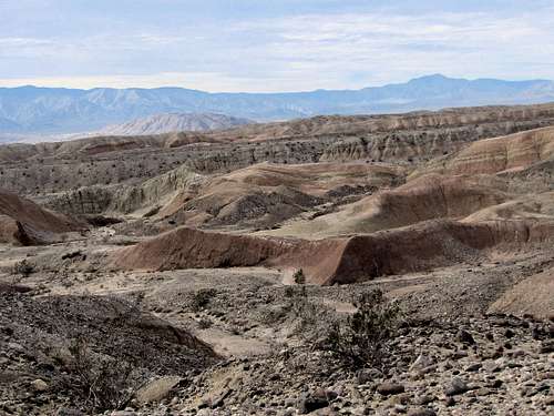
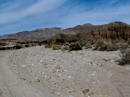
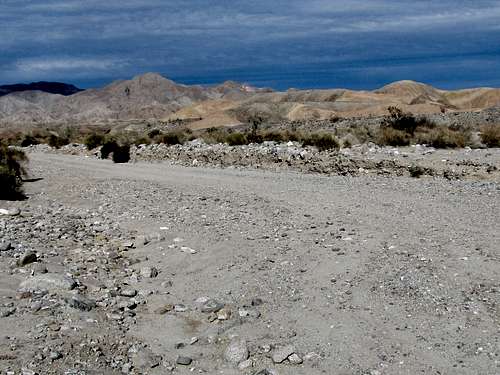
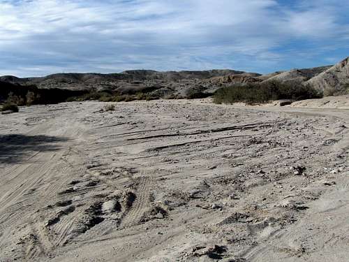
The road begins to go down into Arroyo Salado.
 |
 |
 |
 |
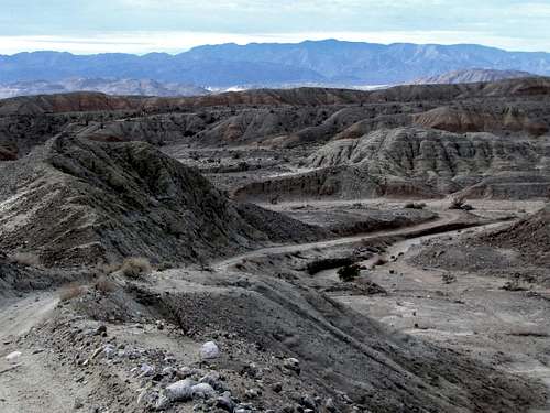
Turn left and hike down Arroyo Salado.
 |
 |
 |
 |
 |
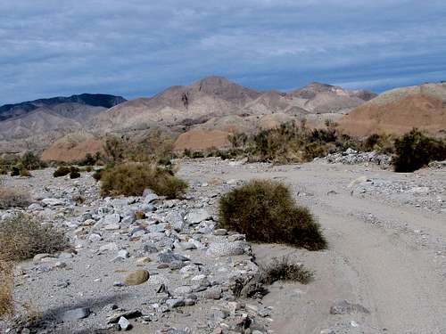 |
You will then reach the signed junction with 17 Palm Oasis Wash. Turn right and hike up this wash.
 17 Palm Wash
At the end of the road, go a little further to reach the palm trees.
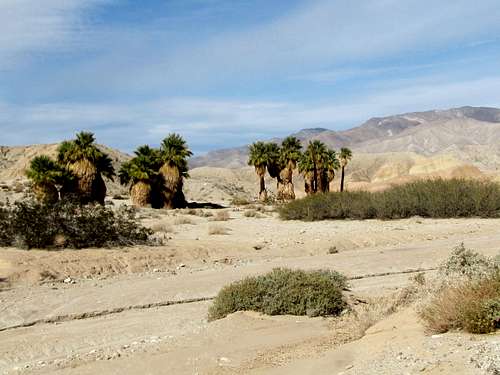 17 Palm Oasis 17 Palm Oasis |
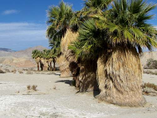 17 Palm oasis 17 Palm oasis |
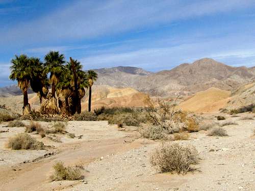 17 Palm Oasis
When to Hike
Winter, late fall and early spring are the best times. Summer can become dangerously hot.