
-
 2928 Hits
-
 74.92% Score
-
 5 Votes
|
|
Route |
|---|---|
|
|
46.77632°N / 10.48754°E |
|
|
Hiking, Skiing |
|
|
Spring, Summer, Fall, Winter |
|
|
Half a day |
|
|
Hike and Scramble |
|
|
Overview
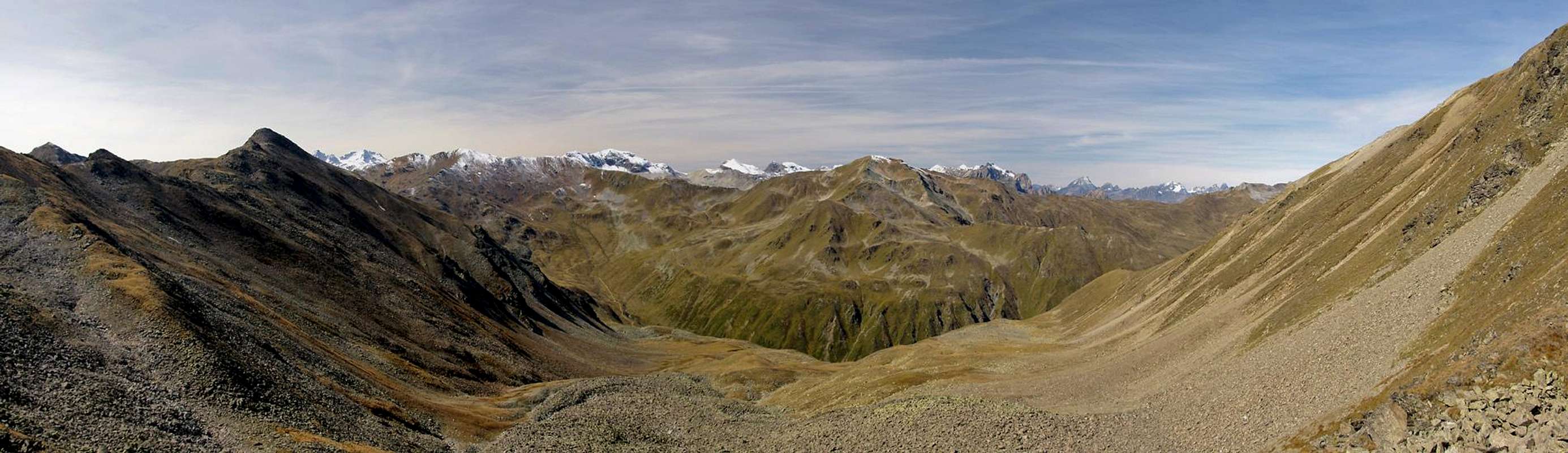
 On the traverse to Haiderscharte / Forcola della Muta On the traverse to Haiderscharte / Forcola della Muta |
The normal route to Elferspitz / Cima Undici heads towards the summit across the south ridge of the mountain, from Haiderscharte, Forcola della Muta. It is somewhat exposed and very steep, especially in its topmost section. Below Haiderscharte it is an easy scramble.
However, iit still is the most popular route. Usually it is climbed from Haideralm, to which a cable-car runs at almost all times of the year. The first part follows a panoramic trail, then it heads up a couloir to Haiderscharte, where it reaches the Elferspitz / Cima Undici south ridge. From there it runs along the eastern side of the ridge before reaching the wide summit plateau.
Getting There
  |
The main page describes the two access itineraries to the Schöneben / Bellpiano and Haideralm / Malga della Muta lifts. From there follow the panoramic trail which connects the two lifts.
Route Description
- Start altitude: 2087m (Rojen) / 2450m (Haideralm)- Summit altitude: 2926m
- Prevailing exposure: E
- Type: Hike and Scramble
- Protection: None
From either the Schöneben / Bellpiano ski lift or the Haideralm / Malga della Muta cable-car take the panoramic trail, which connects both ski areas. Make sure to take in the beautiful views of Reschensee and the Ötztal Alps as you hike along. After half an hour from Haideralm or 1 1/2 hours from Schöneben a valley opens up, through which the ascent route to Haiderscharte, the saddle on the south ridge of Elferkopf / Cima Undici starts.
 Elferspitz seen from the intersection of the route with the panoramic trail
Follow this trail westward. It stays on the left hand (southern) side of the valley, running along the slopes in several switchbacks. The valley turns into a couloir and where it does, the trail suddenly heads right into the centre. The going gets very steep in the last 100m of elevation before you reach Haiderscharte / Forcola della Muta.
 Elferspitz south ridge as seen from Haiderscharte
The saddle also serves as a good starting point for the climb of northern Seebodenspitze / Cima Pian di Lago Nord, which is located to its south and can be reached by an unmarked path. Instead, turn to the north and follow Elferspitz' south ridge. At first you stay on the western side but soon the trail switches over to the east where it stays for the remainder of the climb. The above picture, which shows this final part of the ascent in no way accounts for the steepness, which is intense in some places. The path winds up along ledges in the west face, always staying close to the ridge. The final section is steepest before finally you reach the summit plateau. The summit cross is located a bit north of the real summit.
 On the ledges during the final ascent