Spotting Granite Peak

Spotting Granite Peak

Page Type Page Type: Album
Additional Information Image Type(s): Informational

Spotting Granite Peak

Even though I am a native Montanan and have always loved the Beartooths, I never knew much about Granite Peak until I set a goal of climbing it.

Being the highest point in Montana, it stands to reason that it should be visible from afar. The trouble is you might not know where to look above the high plateaus and peaks of the Beartooths. Whether you are from Montana, travelling from afar to high point the state, or just out on a drive down I-90, I think you will enjoy spotting it.

Once you know what to look for, it will be clearly visible. To help you, this album starts close up and zooms all the way back to near the airport in Billings. All distances are "as the crow flies" and were measured using the compass tool of National Geographic TOPO! so they are very accurate.

Distance: 1 mile

Granite Peak from 1 Mile

This is from the western shoulder of Tempest mountain at the southern edge of the Froze to Death (FTD) plateau.

Distance: 1.25 miles

Granite Peak from 1.25 Miles

This is one of the last and highest rock shelters on FTD. Memorize the outline of the peak to the left, the northwest ridge to the right, and the notch in between. This is the key to spotting it from a distance. The northwest summit is the second highest point in Montana (12,745ft), but Mt. Wood to the north gets the nod as 2nd place mountain at 12,659ft.

Distance: 2 miles

Granite Peak from 2 Miles

Note the full outline of the ridge and that FTD plateau will always block the view of the lower flanks of the mountain.

Distance: 22 miles

Granite Peak from 22 Miles

This is on the West Rosebud Road between Fishtail and the Roscoe turn off. The winter's snow still covers FTD plateau on 2006-05-13. In fact, just after the Roscoe turn off will be your last look at Granite until you reach the far end of FTD or midway up Huckleberry creek.

Distance: 30.5 miles

Granite Peak from 30.5 Miles

Drive down main street Absarokee and its right in front of you. The northwest ridge is obscured by the pine tree in photo center, but you can see the peak just below the yellow traffic light on left. Snow fields are still visable on FTD July 8th, 2006. Look for them in the next picture taken the same day.

Note: from here out, you'll see things better with the full size image rather than this medium size thumbnail. Click the picture once to go to it's object page, then click it again there to get the full size. Or just go straight there:
Full-size Image

Distance: 42 miles

Granite Peak from 42 Miles

This is from the shoulder of I-90 at the top of the hill just west of Columbus. Look left of center for the distinctive outline reaching for the sky above patchy July snow fields of FTD. Bring binoculars and you will have no trouble spotting it. Mt. Wood is on the right half of the picture. Its distance is only 36.4 miles so it appears higher from this vantage point.

Full-size Image

Distance: 75 miles

Granite Peak from 75 Miles

This is atop the Rimrocks in Billings just west of the airport. Granite Peak on the left and Mt Wood on the right are at the apex of their respective sides of the dihedral in the center of the photo. Granite is the tiny bump with its slightly lower NW ridge to its right. Don't even try to see it without clicking through to the full size image though. Taken 2007-02-03

Full-size Image


Comments

Post a Comment
Viewing: 1-6 of 6
Brett B

Brett B - Jul 22, 2007 7:55 pm - Voted 10/10

Very cool

I knew I could see Granite from the road to East Rosebud TH, very good work dude.

VincePoore

VincePoore - Jul 23, 2007 11:28 pm - Hasn't voted

Re: Very cool

Thanks for the props. Did you do the East Rosebud to Cooke City traverse? It's definately something on my To Do list.

chugach mtn boy

chugach mtn boy - Dec 22, 2009 2:28 pm - Voted 10/10

Re: Traverse

I did that traverse with a teenage daughter in 07. Memorable trip! PM if you want to discuss sometime.

Nthnoak

Nthnoak - Oct 29, 2012 1:00 am - Hasn't voted

Awesome!

I too never knew much about granite until I decided I was going to climb it. I never knew where to look for it until I saw this. So I wanted to say thanks! Everyday for a couple years I got to stare at Granite as I drove home from Billings on the interstate. Now Ive made multiple attempts at climbing it and have made the summit. Yet I still constantly look to the Beartooths and go immeadiately to Granite because of this!

VincePoore

VincePoore - May 18, 2013 11:56 am - Hasn't voted

Re: Awesome!

You are welcome. I still remember my feelings the first time I recognized it from afar and thought how crazy it was that I was born in Billings and no one ever pointed it out. I had to find it on my own in my forties and hence this page was born.

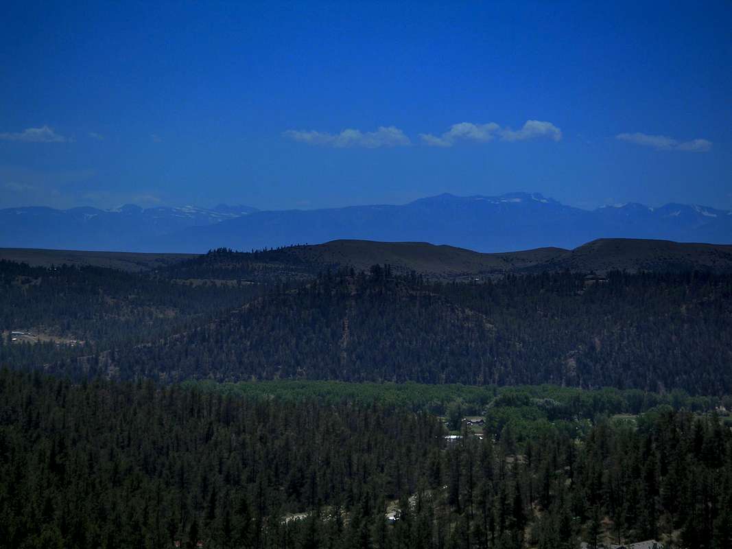
Interesting side note: you can also see Whitetail Peak from two spots near Columbus.

Easier: drive east on the frontage road to the top of the hill where there is an overpass over I-90. I think this is the best spot to see all of the high ones. Castle, Silver Run, even Snowbank. Whitetail will be obvious since you've climbed it.

Harder: as you are driving from Columbus to Absarokee, just after the first strong left hand curve you will be heading due south and for a very small section of road you will be able to see it.

Nthnoak

Nthnoak - Aug 7, 2013 10:35 pm - Hasn't voted
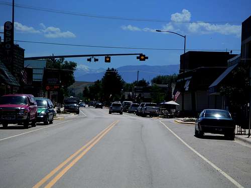
Re: Awesome!

I just recently moved back to Billings and my buddy I go climbing with actually just told me about being able to see Whitetail from the Absarokee road so I will have to go see for myself! Just a couple weeks ago I went to Cooke City to see if you could see Granite Peak from that road and sure enough you can for a second about 3 miles outside of town!

Viewing: 1-6 of 6


Parents 

Parents

Parents refers to a larger category under which an object falls. For example, theAconcagua mountain page has the 'Aconcagua Group' and the 'Seven Summits' asparents and is a parent itself to many routes, photos, and Trip Reports.