
-
 3244 Hits
-
 74.01% Score
-
 4 Votes
|
|
Route |
|---|---|
|
|
58.47336°N / 134.58022°W |
|
|
Download GPX » View Route on Map |
|
|
Hiking, Mountaineering, Scrambling |
|
|
Spring, Summer |
|
|
A long day |
|
|
Class 3 |
|
|
Overview
Stroller White is a semi-technical summit accessed from the West Glacier Trailhead. The hike is 12.5 miles round trip and climbs 6,200' in elevation gain. It can be climbed in spring or summer. Spring has high avalanche risk, but steep sections are filled with snow. Summer hiking is brushy and some of the dirt is steep enough crampons might help to not slide. This is not an afternoon stroll.
Getting There
From Downtown Juneau, take Egan Drive North. Make a right on Mendenhall Loop Road. After 2.2 miles turn left to stay on Mendenhall Loop Road. Turn right on Montana Creek Way. Continue on Montana Creek Road past Skaters Cabin. The road will dead end at the West Glacier Trail trailhead.
Route Description
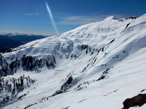
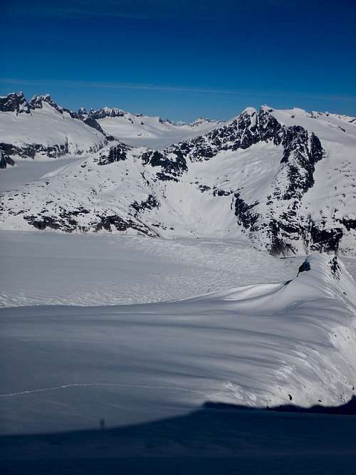
The standard route starts from west glacier trailhead and follows the normal route to Mt. McGinnis. After the overlook onto the Mendenhall glacier (mile 3.4), head uphill for a total distance from the trailhead of 3.75 miles. Here you will veer to the Right towards a valley/gully below the saddle of McGinnis and Stroller White. A GPS is handy here because the valley isn't visible and you don’t want to overshoot your elevation and hike a bunch extra. It’s a bit of steep sidehilling through some timber with a lot of blowdowns. (type 2 fun). The gully will come into view and aim for the flat meadow. This is a view looking back into the meadow from the far side.
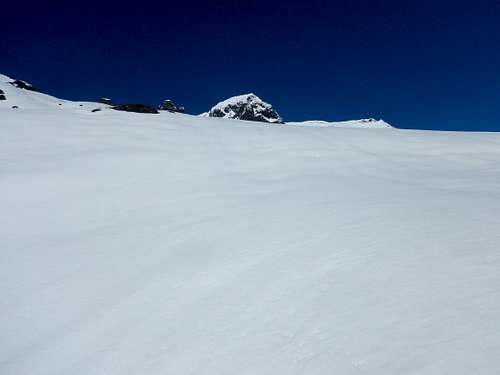
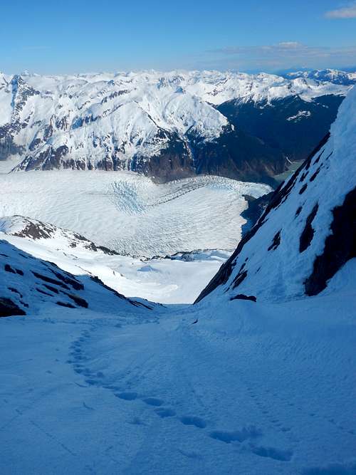
Cross the gully below the saddle and head up a steep incline on the far side. This is the first major obstacle as its STEEP. There isn't much to hold onto and its wet too. After escaping from the gully, the summit will come into view.
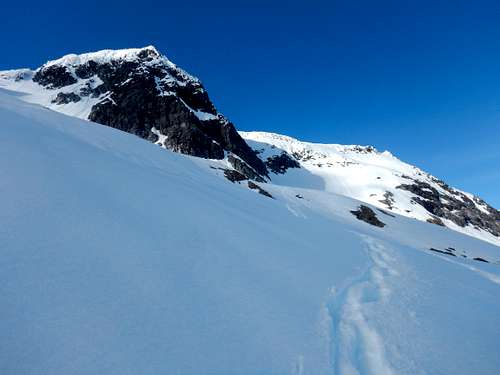
Climb basically right at the summit but veering climbers right. Nothing to exciting here other than avalanche danger if there is snow. Continue heading to the North and climb a steep gully that heads North-West. This gully is the last hard part and it come out about 400' north of the summit.
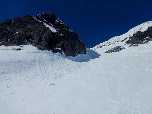
Turn South at the top of the gully and hike 400' more uphill towards the summit. Likely you'll hit the top of the ridge first and just follow that the rest of the way.
See attached .gpx for an exact route or check out the Juneau Hikes and Summits CalTopo page.
Essential Gear
Mountaineering boots or stiff waterproof boots are necessary and gators help keep your socks dry. Having a SPOT or InReach is a great idea as well as a GPS to find the route. Bring extra dry/warm stuff.
Ice axe and crampons are crucial when there is snow which will persist through much of the summer.