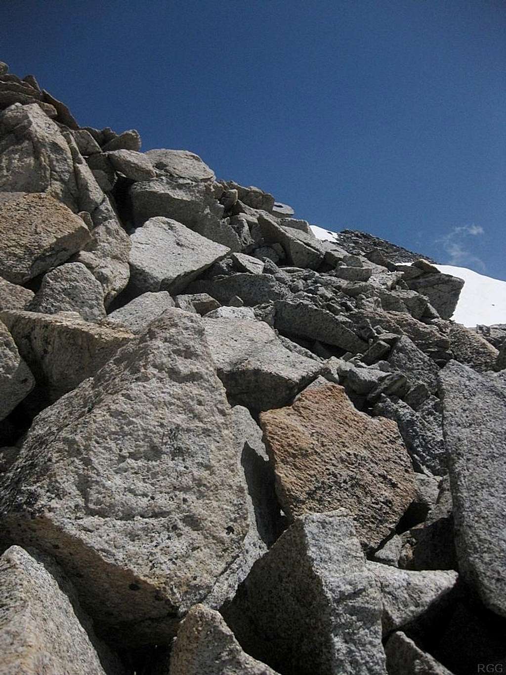
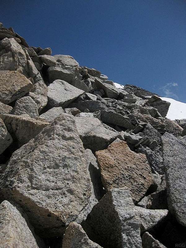
The boulder field southwest of the summit of Hohe Geige
The Hohe Geige west ridge route and normal route join at around (47.002°N / 10.905°E), southwest of the summit. A small ice field and glacial lake lie between the junction and the bottom of the southwest face of the final summit formation. Unless its well frozen, you have to go around the lake, and you can choose to go left or right.
The route on the right is a bit longer, but easier: first go east, then for the final section hike up along the south ridge. The rocks are relatively small there and the ridge is not particularly steep.
The route on the left is shorter, but after going around the lake, you'll face this steep boulder field. They are solid but big, so you'll need your hands to get up there.
I ascended by the longer route, and descended this boulder slope. On the way down, it wasn't too bad.
29 June 2012.


