Toggle navigation
Mountains
Routes
Images
Trip Reports
Forum
What's New
People
Areas & Ranges
Articles
Trailheads
Canyons
Huts & Campgrounds
Albums
Logistical Centers
Fact Sheets
Lists
Custom Objects
Gear
Plans & Partners
WELCOME TO SUMMITPOST
SIGN IN
REGISTER
Eastern Route from Faro de Fuencaliente
Additional Parents
Image
The Ruta de los Volcanes, as...
View High-Resolution Image
The Ruta de los Volcanes, as...
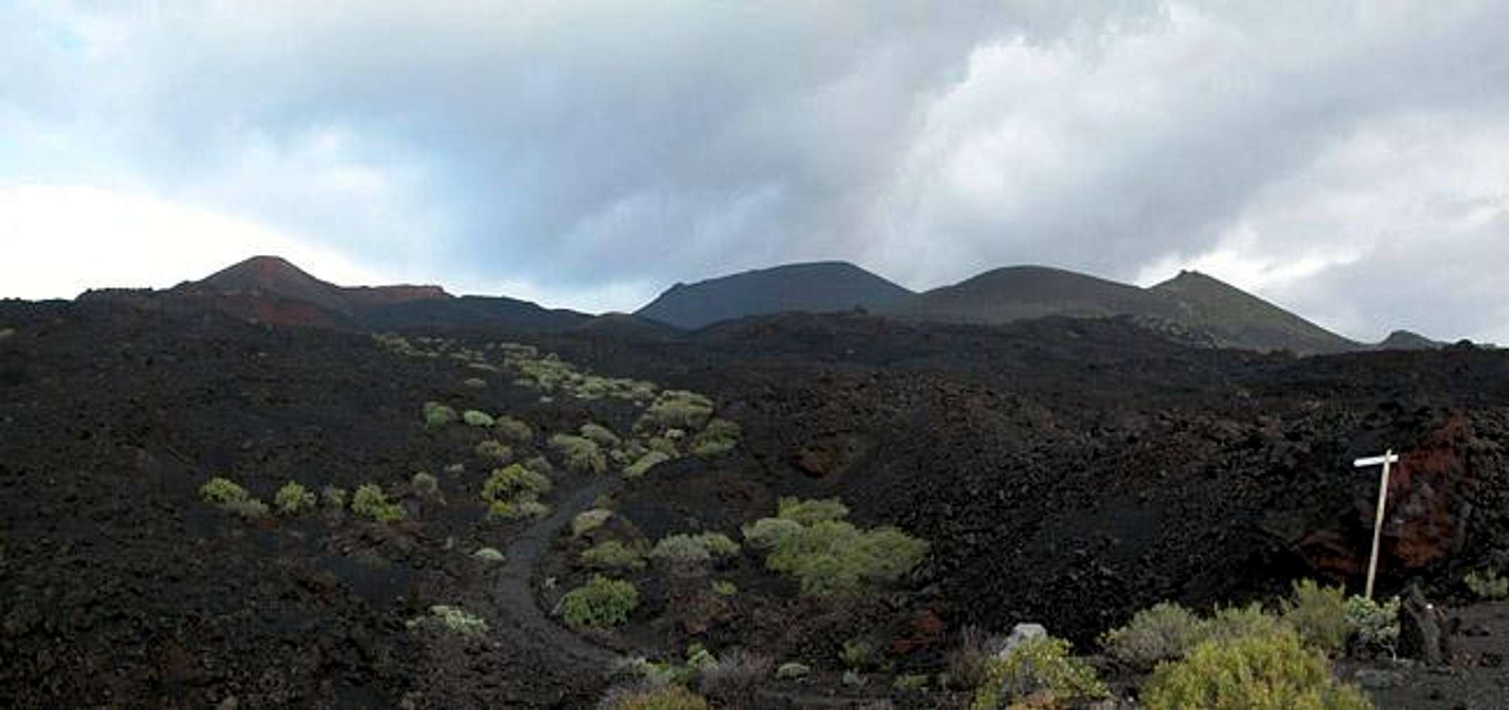
The Ruta de los Volcanes, as it begins near Faro de Fuencaliente. The volcanoes are (from left): Volcán Teneguía (437m), Volcán San Antonio (663m), Montaña del Mago (464m) and Pico de Tablas (667m). Feb 18th 2005
« PREV
NEXT »
Gangolf Haub
on
Apr 10, 2005 4:57 am
Comments & voting
Other parents
Lat/Lon:
28.48430°N / 17.8503°W
Image ID:
99471
2784 Hits
75.81
% Score
6
Votes
Log in to vote
Comments
No comments posted yet.
to post!
Don't have an account?
Eastern Route from Faro de Fuencaliente
(Route)
You are at
the First
Image
Viewing
#1 of 4
GALLERY
NEXT »
Gangolf Haub's Image Gallery
« PREV
Viewing
#1976 of 13940
GALLERY
NEXT »
Volcan San Antonio
(Mountain/Rock)
Loading....
×
You need to login in order to vote!
User Name
Password
Remember me
Forgot your password?
Log me out when I close my browser.
Keep me logged in all the time.
sign in as a user
Don't have an account?
Register now for FREE
Rating available
Suggested routes for you
People who climb the same things as you
Comments Available
Create Albums
Register Here


