
-
 2840 Hits
-
 71.06% Score
-
 1 Votes
|
|
Route |
|---|---|
|
|
28.48430°N / 17.8503°W |
|
|
Scree Scramble |
|
|
Half a day |
|
|
Walk-Up |
|
|
Approach
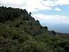
From the town of Los Canarios take the winding road LP-130 which first heads westwards befor winding down to the southernmost tip of La Palma. Just before you reach the southernmost part of the road a side road turns off towards the two lighthouses of Fuencaliente.Route Description
- Start altitude: 0m
- Summit altitude: 663m
- Prevailing exposition: S, later E
- Type: 3h along trails
- Protection: marked
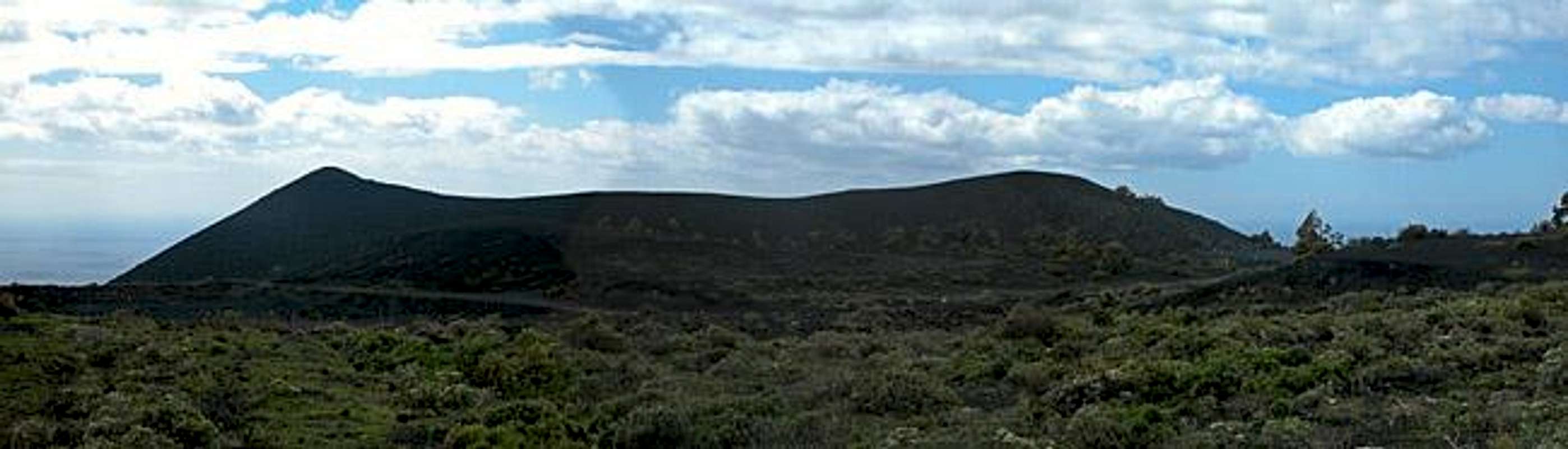
The ascent route to Volcán San Antonio along its eastern slopes leads though cultivated areas. Though in the lower parts you might wonder where in hell one might want to grow anything, once above 250m you'll reach the Canarian vineyards of Teneguía.
From the Fuencaliente Lighthouses follow the access road for some 300m. At the first sharp bend in the road a dirt track turns off in the direction of a lava quarry on the cast. Pay attention to oncoming trucks! At a modern windmill plant turn off the road to the north. You will see red-and-white coloured pillars which have been placed here to mark the 1971 Lava flows of Volcan Teneguía. Follow these pillars up the slope between the cinder cones of Montana de Lagi and Montana de Abraham. The going is rough: two steps up, one step back.
After a while you will cross the road LP-130 from where on you hike through civilized (i.e. cultivated) areas. Still you can follow the red-and-white pillars which lead you to the eastern side of Montana del Mago. You cross a dirt track (SL FU-112) where for the first time since you left the light hoses you can catch a glimpse of San Antonio. Head onwards along the eastern slopes of Pico de Tablas.
Having reached an elevation of approx. 600m an dirt track turns off to the south-west. Follow it around Pico de Tablas and once you turn the mountain's southern corner you get great views of Volcán Teneguía and Volcán San Antonio. Follow the track up to the parking lot of San Antonio's visitor center and up along the northern rim of the crater to the suummit.
 |  |  |  |