
-
 736 Hits
-
 79.04% Score
-
 10 Votes
|
|
Mountain/Rock |
|---|---|
|
|
43.44000°N / 109.545°W |
|
|
Trad Climbing, Sport Climbing, Toprope |
|
|
Spring, Summer, Fall |
|
|
7970 ft / 2429 m |
|
|
Overview
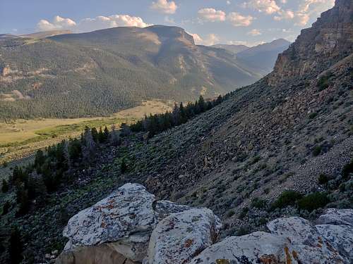
If you've ever been to Trail Lake, one of the most important trailheads for backpackers and climbers looking to access the heart of the Winds, you've almost surely seen Trail Lake Pinnacle. It's a prominent sandstone formation about a mile before road's end, located to the right and uphill if you're driving in.
Trail Lake Pinnacle is not the only or first name for this feature. Locals called it Beck's Tower in recognition of a homesteader who lived in the area. Trevor Bowman, who wrote a climbing guidebook for the Dubois area called Dubois Rock (seems to be out of print and extremely hard to find), referred to it as Goliath Spire. "Trail Lake Pinnacle" is the name in the summit register left by the person who made the first known ascent, Joe Larsen.
There is no hiking or scrambling route up Trail Lake Pinnacle, but there are several single-pitch sport and trad routes. Not all of them reach the summit, and the easiest one that does is the 5.8 Mountaineer's Route.
In the vicinity are several ancient petroglyphs created by Native Americans. Locals do not seem to want this publicized too much, so I will not post any pictures or directions for them. However, there are some excellent ones if you want to spend some time looking around.
Getting There
Less than 4 miles south of Dubois, turn off U.S. 287 onto a dirt road signed for fishing and fish hatchery access. Take an almost-immediate left fork and follow the road for about 7 miles to a parking area at the head of Trail Lake. Trail Lake Pinnacle looms overhead, and the hike to it is short but steep.
Routes
For a complete look at routes here, check out the MP page. I will cover the Mountaineer's Route, the easiest and probably most popular way to reach the summit.
This 80' route goes at 5.8 and starts from the pinnacle's northeast corner. It goes up a slab and corner and then turns the corner to finish up some airy face climbing to the top. There are 4 bolts and a bolted anchor. Although the MP page mentions the possibility of small cams protecting runouts, and I did bring some, I didn't see any confidence-inspiring placements and never used one. The harder moves are all well protected. Rappel off.

|

|

|
Red Tape
Avoid posted private property.
When to Climb
Spring throgh fall. Winter probably sees a fair number of decent climbing days, but I don't know about the road conditions.
Camping
Dispersed camping along the way and at the main trailhead.