-
 685 Hits
-
 76.66% Score
-
 7 Votes
|
|
Route |
|---|---|
|
|
Hiking |
|
|
Summer, Fall |
|
|
Most of a day |
|
|
Overview
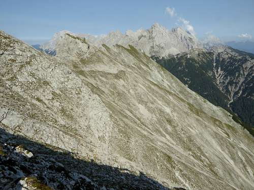
The traverse between Handschuhspitzen and Wannig summit is an easy and exposed traverse on a rather good trail / track and a summer and autumn route. Together with Bergltal route to Hochwannig, the traverse route to Handschuhspitzen form a great loop route around Bergltal with the trailhead being at Weißensee / Biberwier.
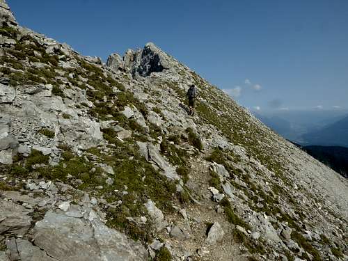
The route is marked, mostly on the less steep south side of the ridge between Wannig and Handschuhspitzen and requires some easy scrambling.
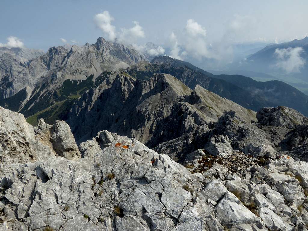
The route offers great views to both sides. It is more frequented than the lonely Bergltal route but – as Wannig nowadays is mainly a ski tour summit, the route is not too crowded.
Getting There
Best trailhead is the Weißensee parking area above Biberwier, particularly if you combine the route with Bergtal route.
Take route number L71 from Lermoos or L391 from Ehrwald to Biberwier and continue on L71 southbound for 1 km and you reach the parking area on the south side of the road.
Free parking (up to 2020). In summer Weißensee is a beautiful bathing spot!
A start from Biberwier – parking area of the Marienbergjoch cable car – is possible, too. You can shorten the ascent a bit by using the first, lower section of Marienbergjoch cablecar.
Route Description
Route Overview:
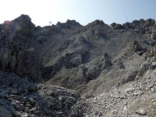
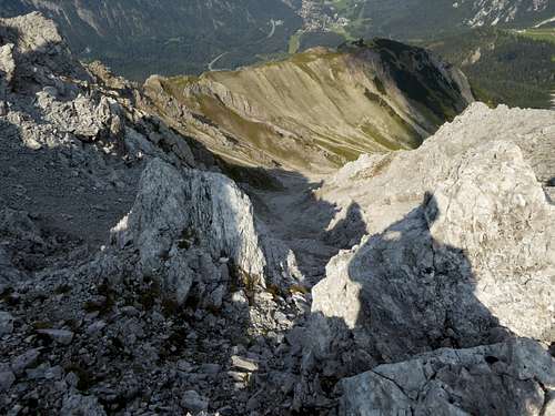
Starting from Wannig summit the marked trail starts from the notch between the two highest rock outcrops of the summit zone. It descends steeply into some rock hollows, where the northwest chute from Bergltal, the winter ski ascent route, comes up. Crossing more hollows the trail gains soon the south side of the connecting ridge to Handschuhspitzen and descends over easy rock slabs to another col, where another chute from Bergltal cirque ends. With good snow conditions this chute is often used as downhill run from Hochwannig.
Staying on the south side the trail gains soon a third col with a third chute, which, too, can be used in winter/spring for downhill skiing. The trail navigates round the south side of an unnamed peak, standing east above that col. The trail ascends and descends again on the east side of this peak.
Alternatively there is a good foot track on the north side of that peak ending at the northeast ridge of the unnamed peak. Descend shortly off-trail over steep meadows and some rocks to regain the trail.
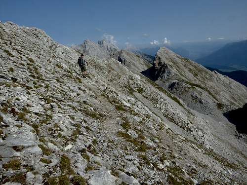
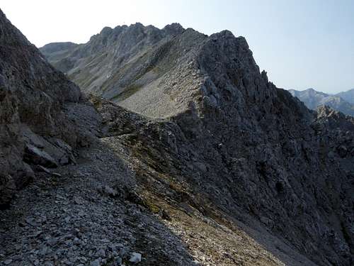
The trail now stays below the ridge crest and traverses the steep south slopes of Handschuhspitzen, waving in and out water runoffs and steep valleys. There are five Handschuhspitzen peaks. Approaching the fourth Handschuhspitze (as seen from from Hochwannig summit) the trail climbs up again to reach the ridge crest between the forth and the fifth and last of the Handschuhspitzen summits. This obe is reached on a steep fott track. It bears the summit cross of Handschuhspitzen. The fourth peak, however, is the highest Handschuhspitze. It can be reached off-trail shortly from the trail, where it hits the ridge crest.
A marked trail drops down the steep east slope of Handschuhspitzen for Marienbergjoch. Regain there the supply road for the ski area, cross Marienbergjoch and descend to Sunnalm inn. Turn left there and traverse in the direction to Bergltal until you reach the trail junction with Alpsteig. Descend to Weißensee.
Alternatively use the supply road or the ski runs to descend to Marienbergjoch cablecar valley station.
Essential Gear & Mountain Condition
The trail between Hochwannig and Handschuhspitzen is marked, in some parts exposed and narrow and requires some easy scrambling.
The trail to Handschuhspitzen via Marienbergjoch is an easy hiking trail.
You need normal hiking gear. If you combine this route with Bergltal route to Hochwannig you need experience in easy rock climbing / scrambling and off-trail hiking!
Weather on Wannig summit:


