Props
Offline
A Little About Me
"Remember, no matter where you go, there you are." - Buckaroo Banzai
My username "Props" refers to my background in aviation rather than the more common modern usage.
My username "Props" refers to my background in aviation rather than the more common modern usage.
My Images
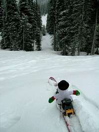
My Routes (1)
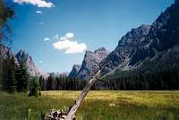
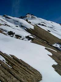
- North Slope Route Split Mountain
My Albums (2)
My Canyons (1)
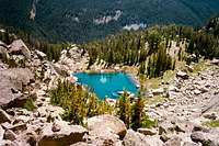
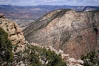
- Range Creek Canyon Book Cliffs
My Lists (1)
My Gear Reviews (2)
My Gear Categories (1)
Climber's Logs I've Signed (26)
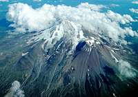
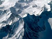
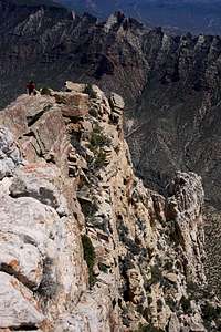
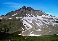
Mountains & Rocks (12)
- Mount Raymond Wasatch Range (Central)
- Borah Peak Idaho County Highpoints
- Mount Nebo Utah County Highpoints
- Mt. Timpanogos (UT) Wasatch Range (South)
- Uncompahgre Peak Colorado 14ers
- Cherry Peak Bear River Range
- Marsh Peak High Bollies/Eastern Uintas
- Mendon Peak (UT) Wellsville Mountains
- Humphreys Peak U.S. State Highpoints
- Split Mountain Utah: Some "Unknown Classics"
- Naomi Peak Utah County Highpoints
- Ruffneck peak Salmon River Mountains
Routes (2)
- Grand Gulch: Kane Gulch to Bullet Canyon Section Grand Gulch
- North Slope Route Split Mountain
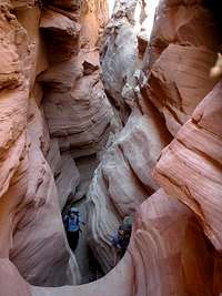
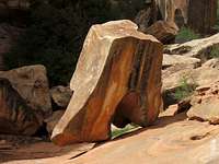
Canyons (12)
- Pine Creek Slot Zion National Park
- Grand Gulch Cedar Mesa, Utah
- Bullet Canyon Grand Gulch
- Range Creek Canyon Book Cliffs
- Chute Canyon San Rafael Swell
- Ding and Dang Canyons San Rafael Swell
- Crack Canyon San Rafael Swell
- Little Wild Horse and Bell Canyons San Rafael Swell
- Buckwater Draw-South Fork Technical Slot Canyons of the Colorado Plateau
- Bluejohn Canyon Technical Slot Canyons of the Colorado Plateau
- Orderville Canyon Zion National Park
- Virgin River Narrows Zion National Park
My Lists
Content loading here...
Messages I Posted/ Editable Objects
Reviews I Posted/Reviews Posted to my Gear
Objects Others Have Attached to My Objects
Content loading here...
Photos Others Have Attached to My Objects
Content loading here...