
Comments
No comments posted yet.
|
|
Trip Report |
|---|---|
|
|
36.47782°N / 114.51503°W |
|
|
Download GPX » View Route on Map |
|
|
Feb 10, 2022 |
|
|
Hiking |
|
|
Winter |
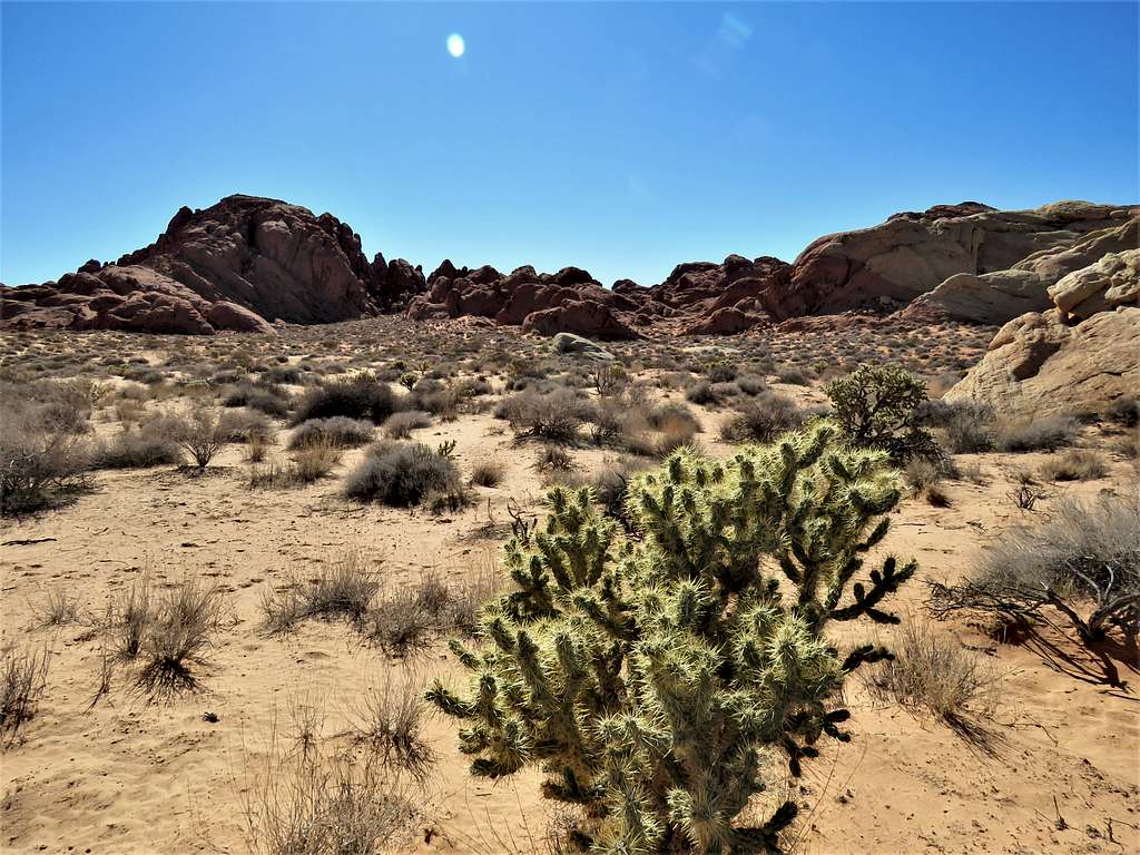
Valley of Fire State Park is an hour drive north of Las Vegas, Nevada and preserves colorful slickrock mountains and canyons. I did a mostly off trail loop hike that allowed me to explore many of the interesting features that I had seen on Google Earth imagery. Along the way, I also climbed a 2155 ft nameless peak (identified on USGS Map as Point 659 m).
Hike Length: 8.6 miles
Maximum Elevation: 2185 ft
Minimum Elevation: 1775 ft
Left the vacation rental condo in Lake Las Vegas, NV around 5:25 a.m., drove more than 60 miles to Valley of Fire State Park and went to Rainbow Vista Trailhead. Nobody was there. Started my hike at 6:37 a.m. when it was 55 degrees F. I did not go on the trail that went southeast, instead headed northwest following the off-trail path that I had entered in my GPS.
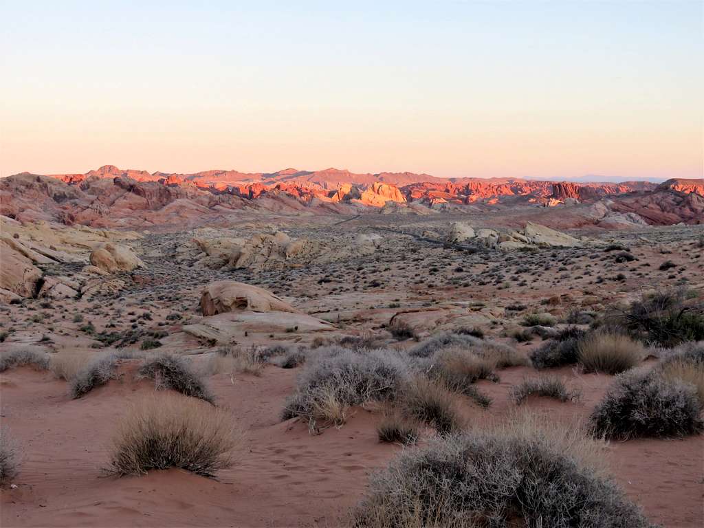
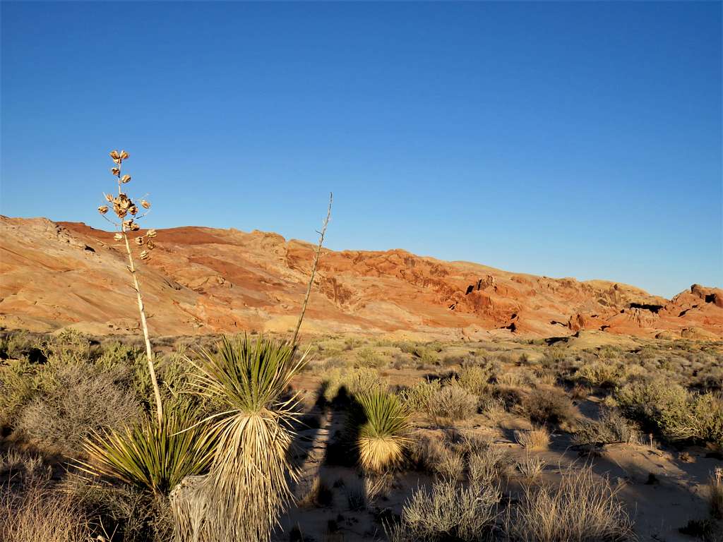
Sunrise.
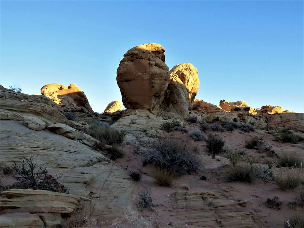
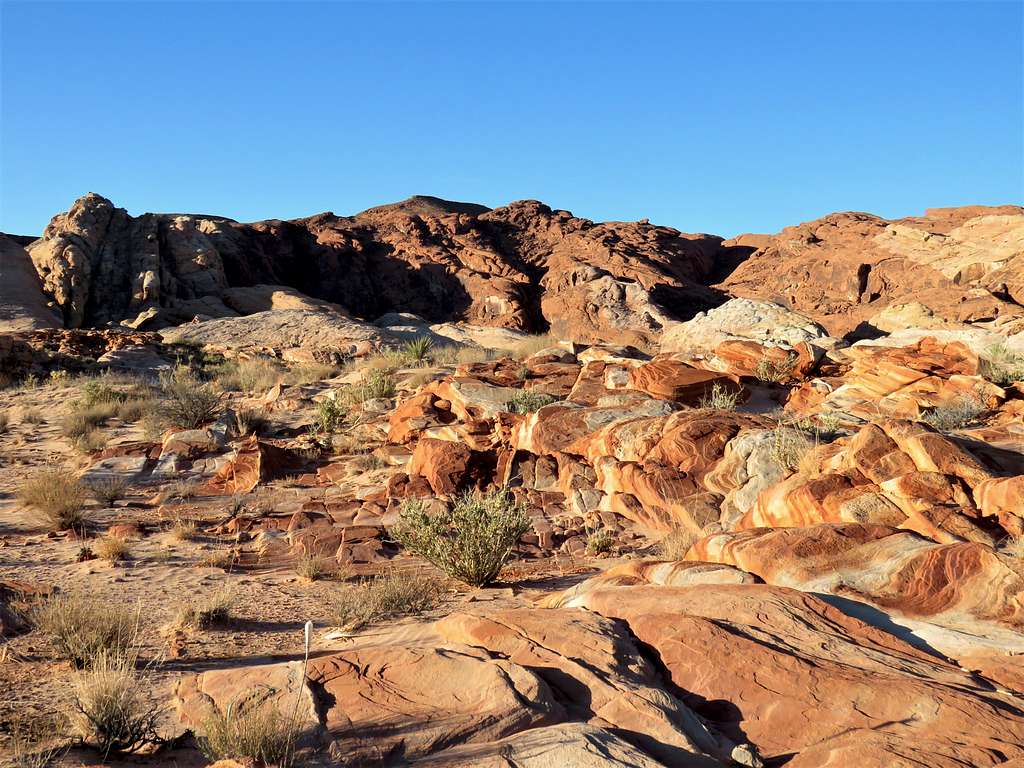
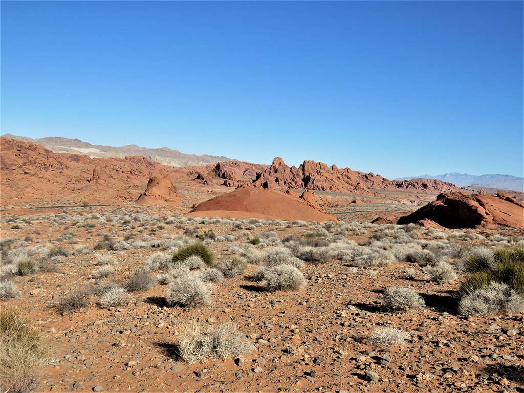
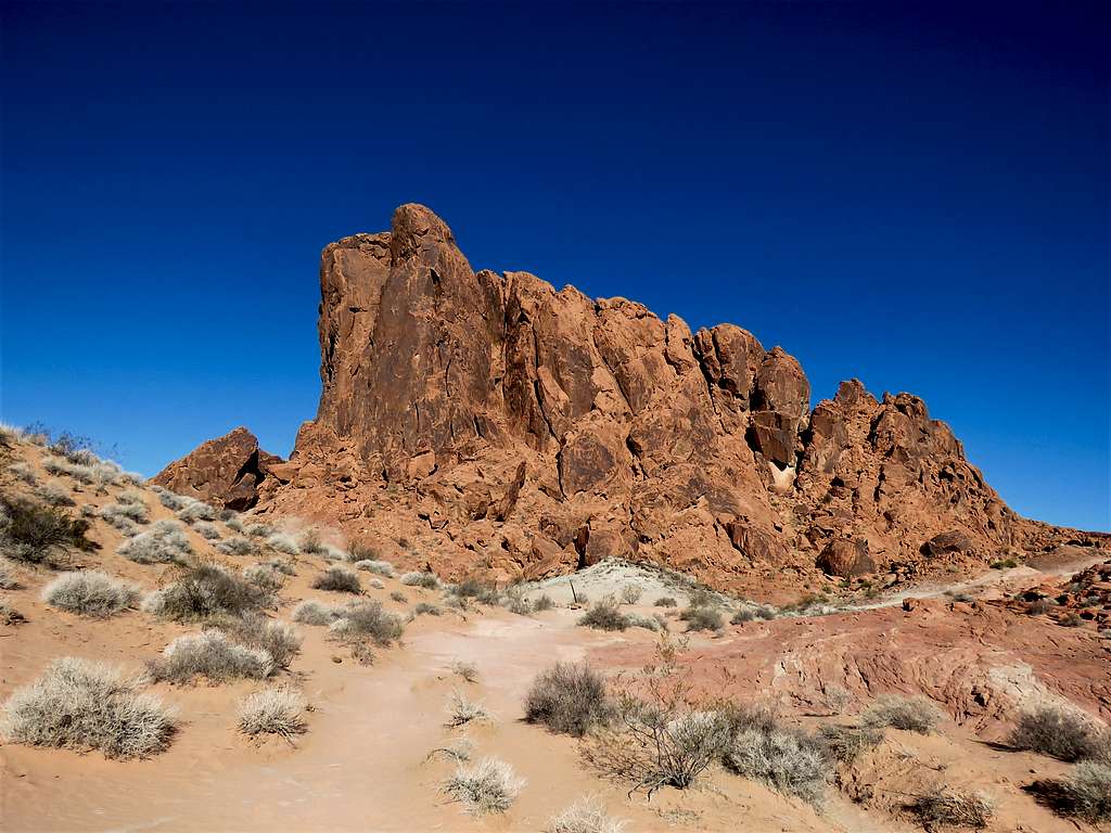
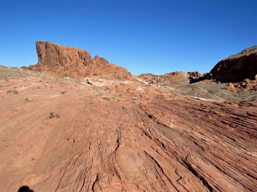
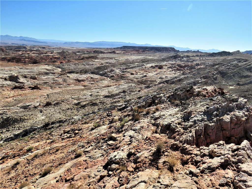
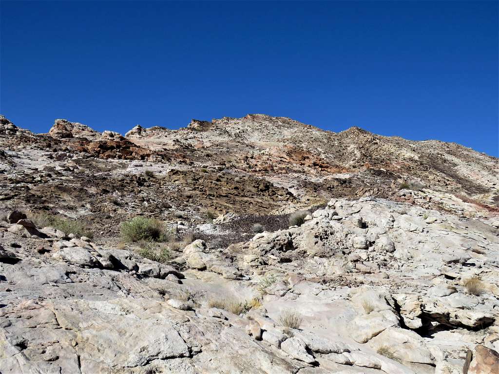
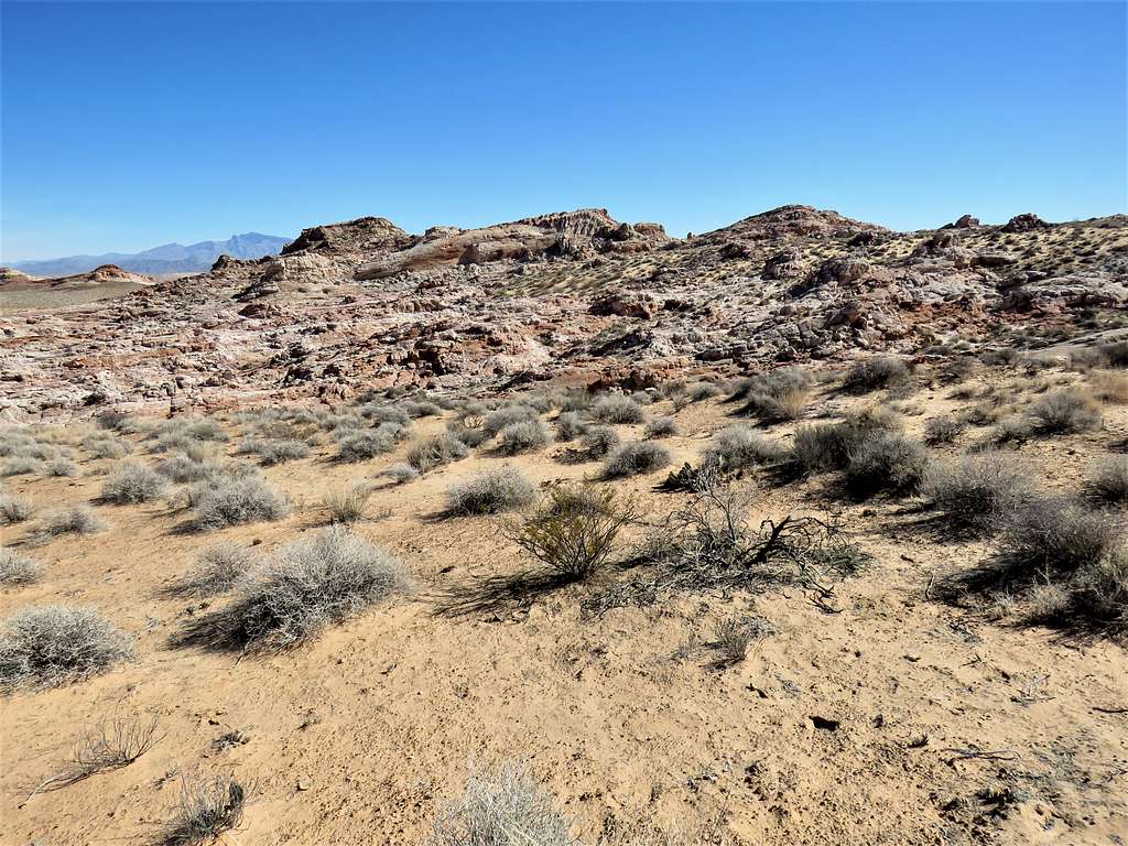
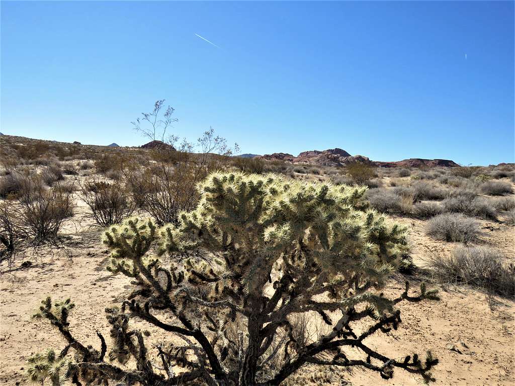
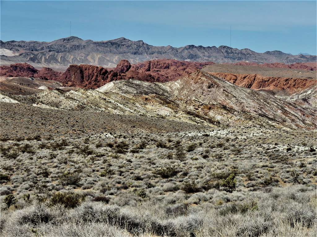
Beautiful views from the very beginning.
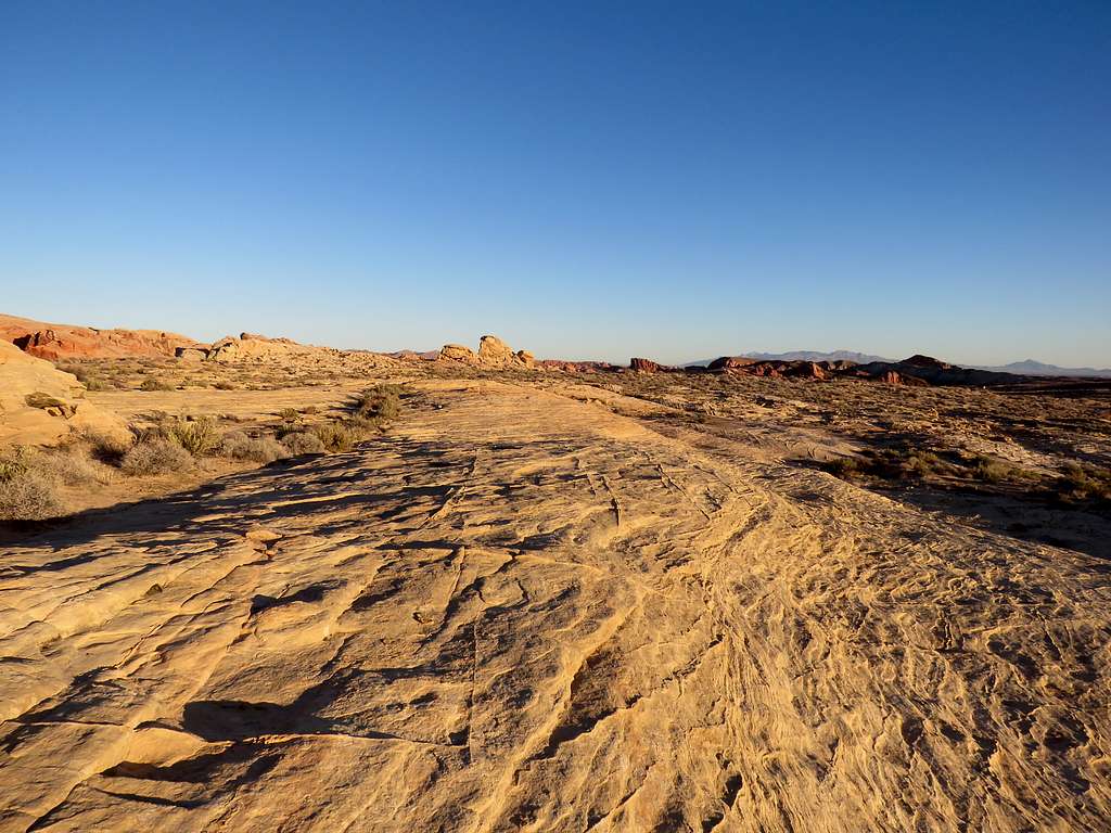
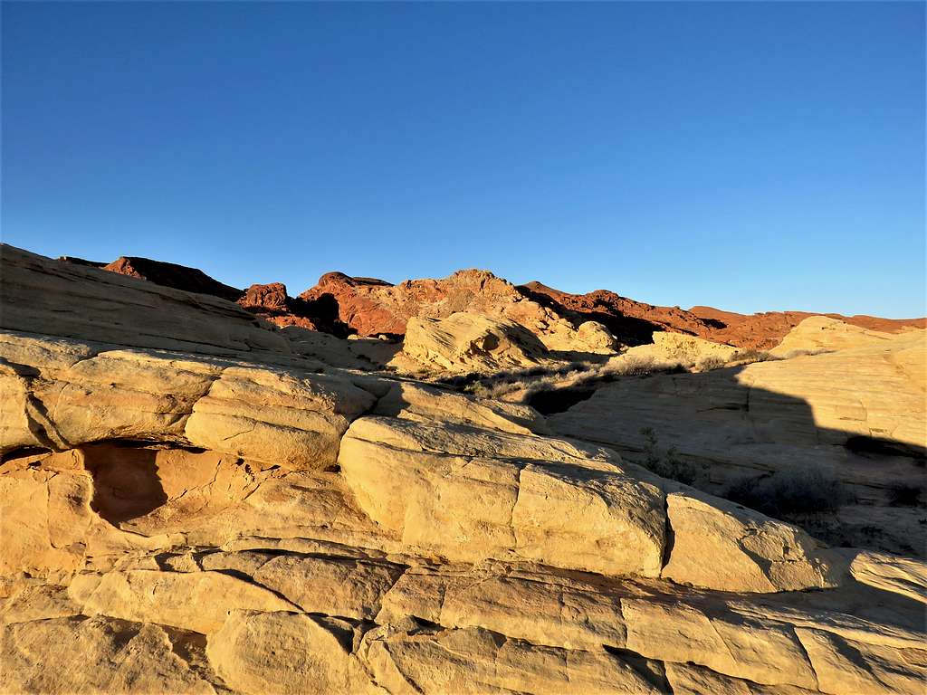
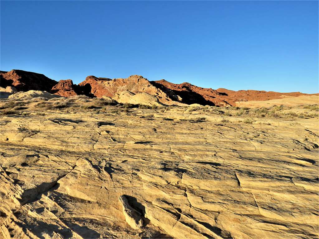
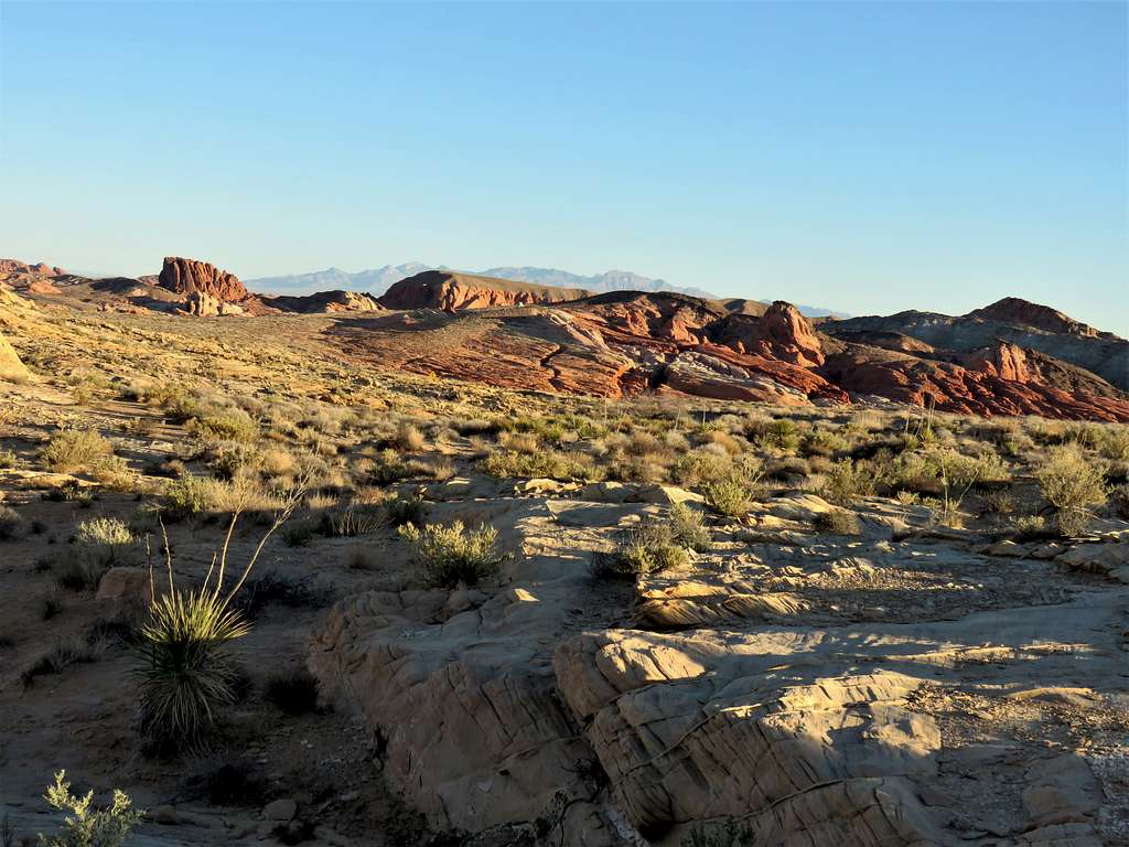
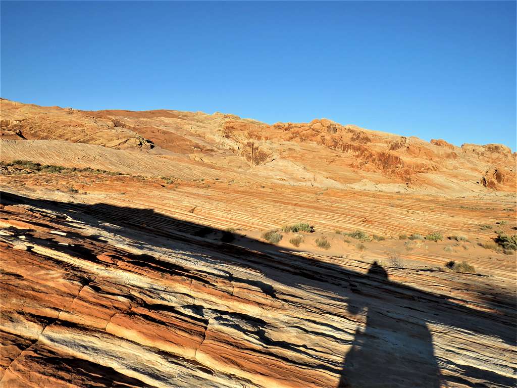
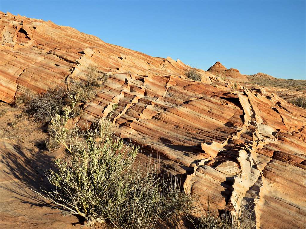
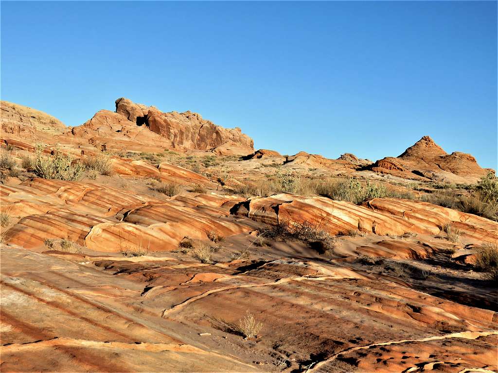
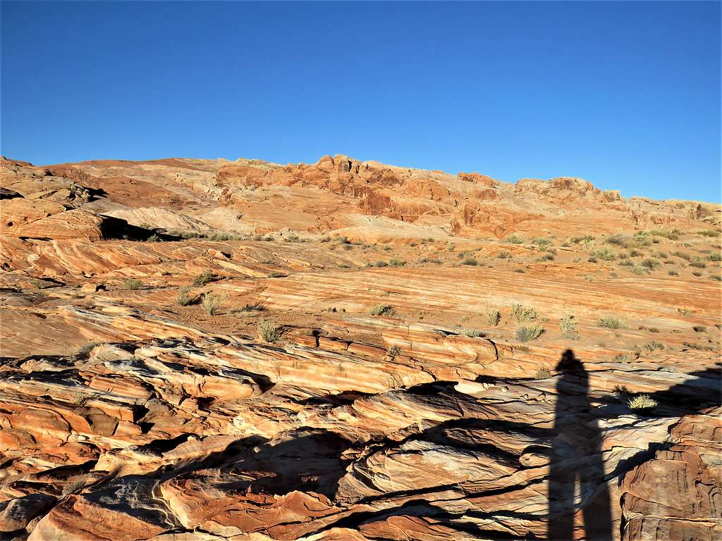
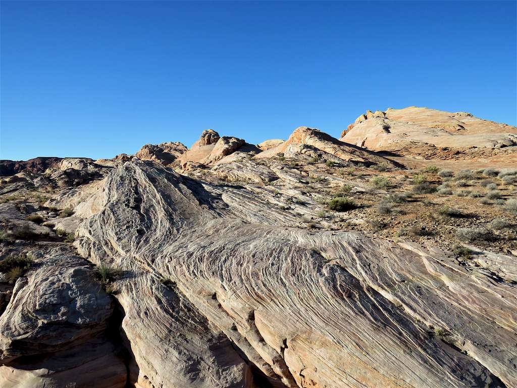
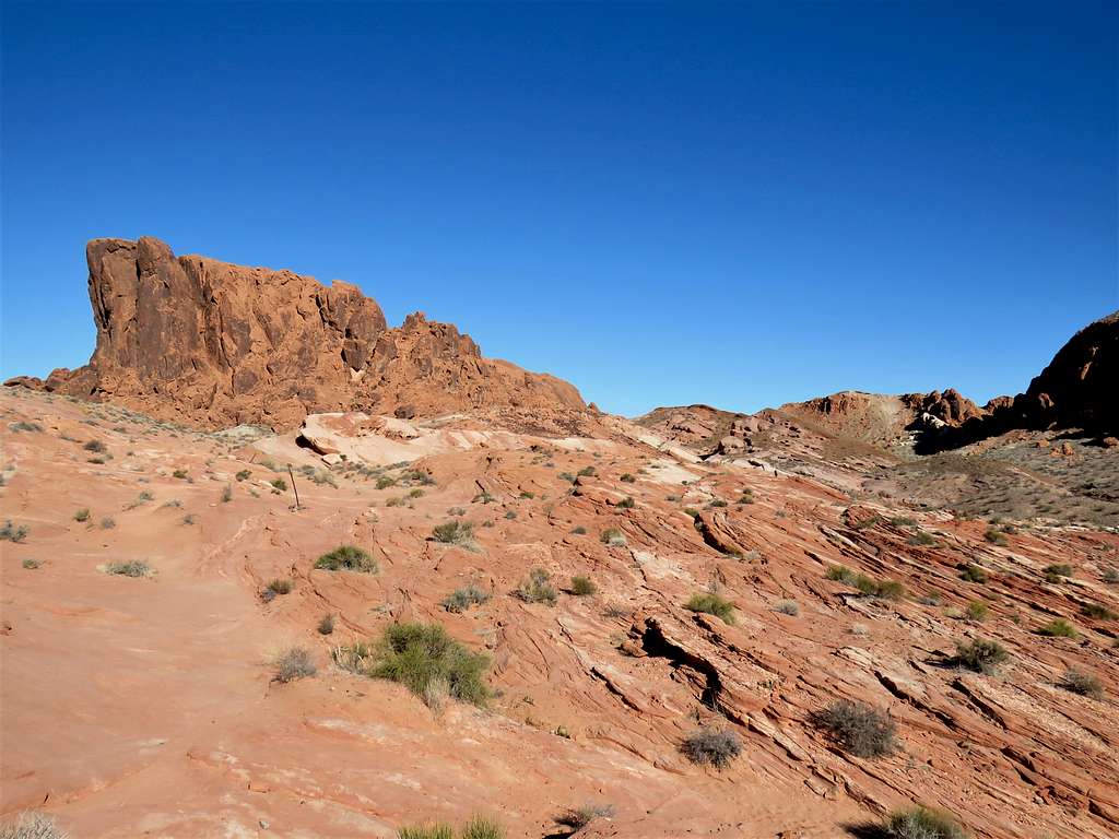
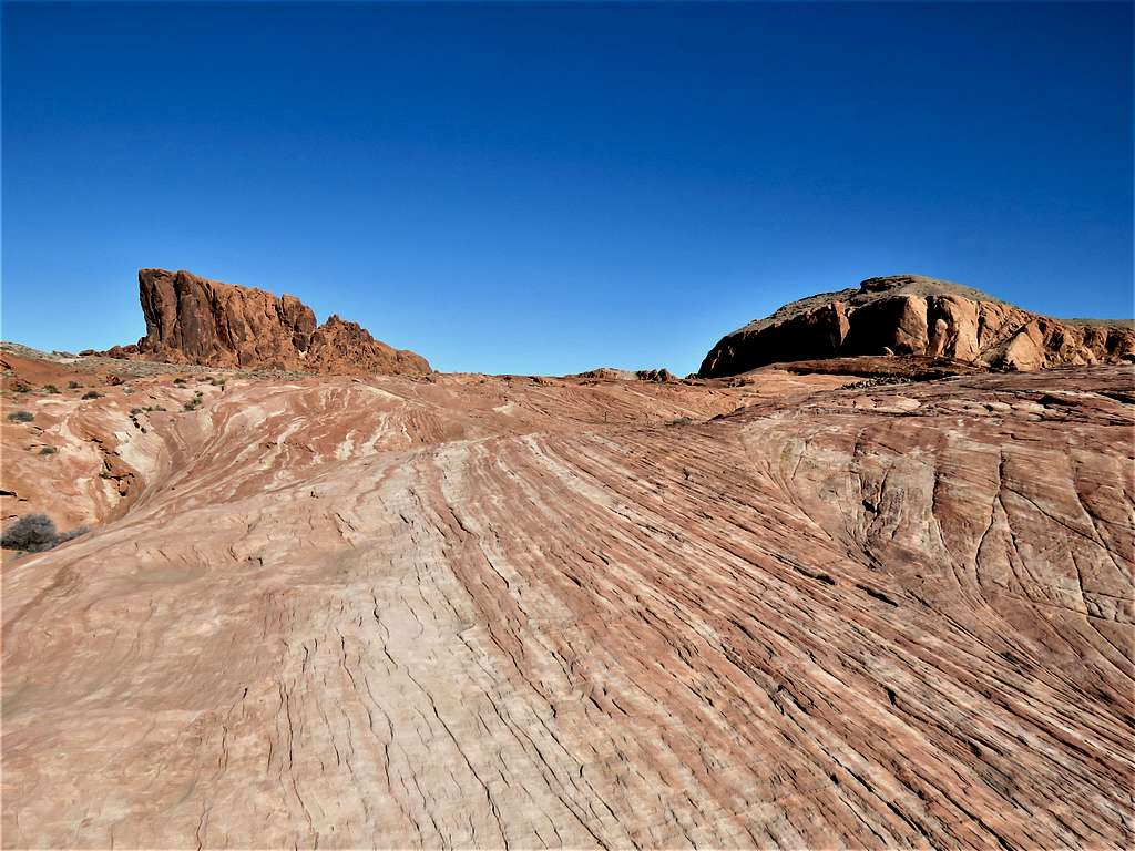
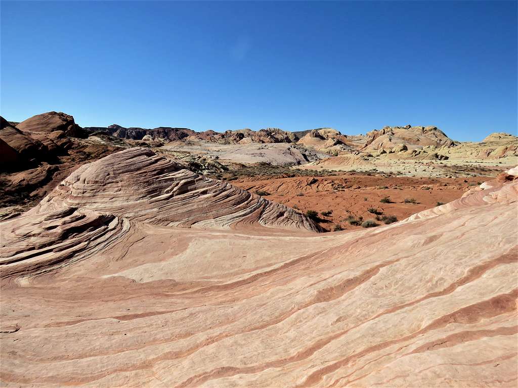
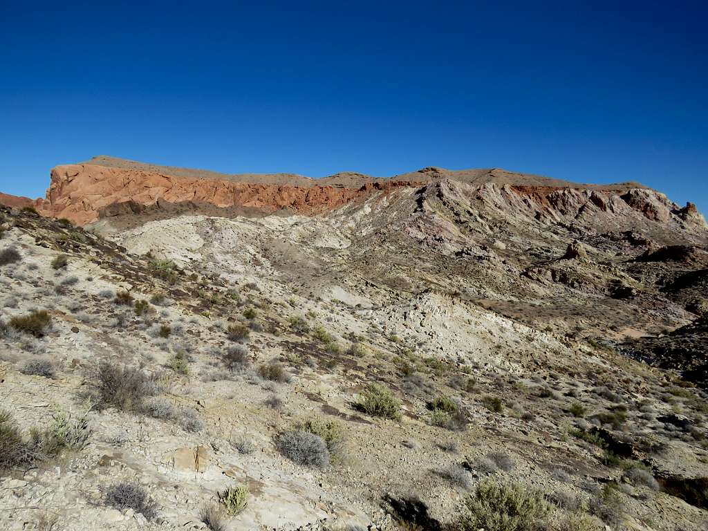
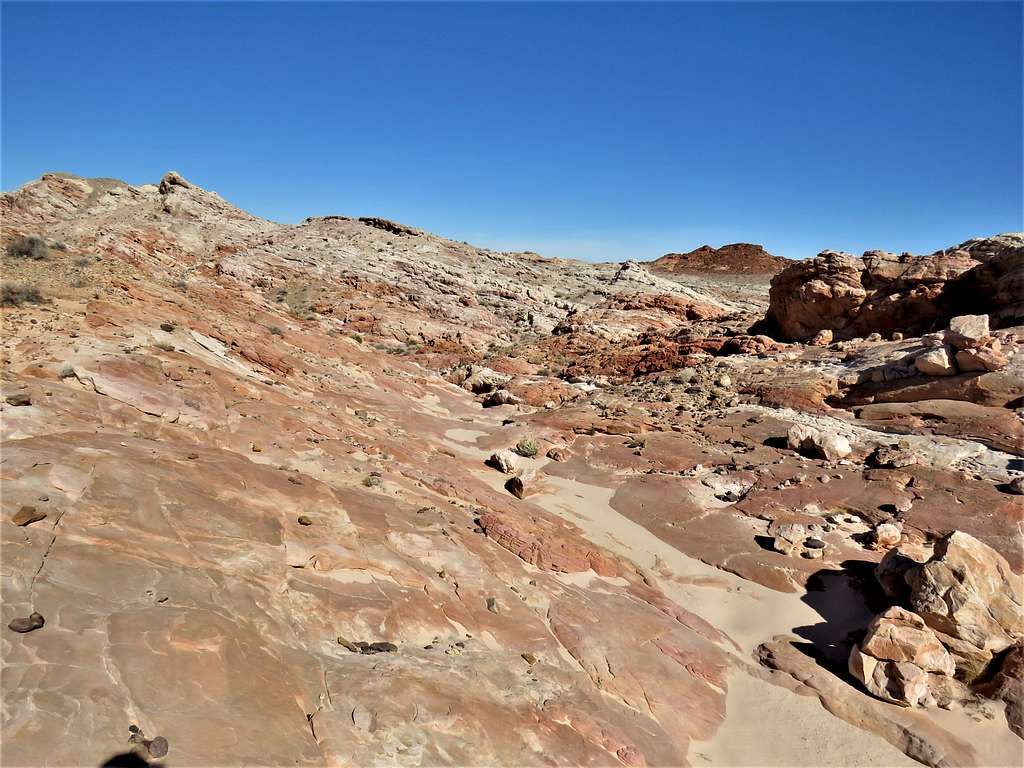
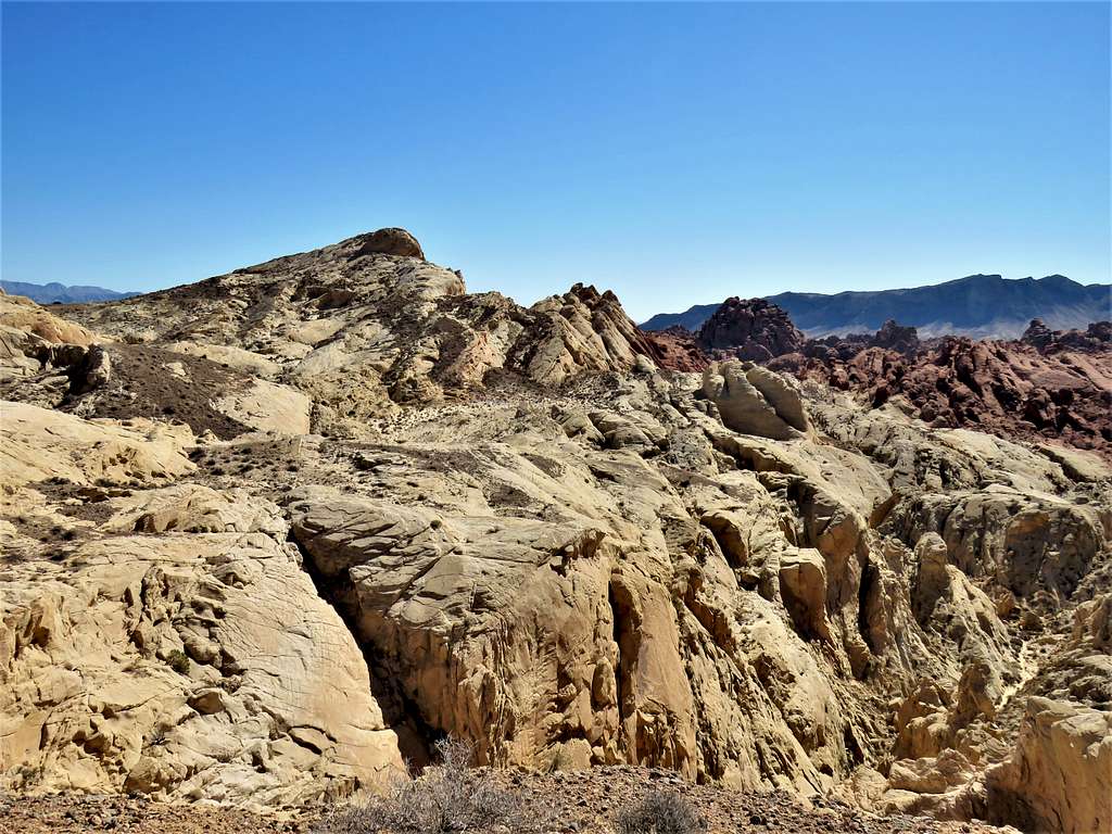
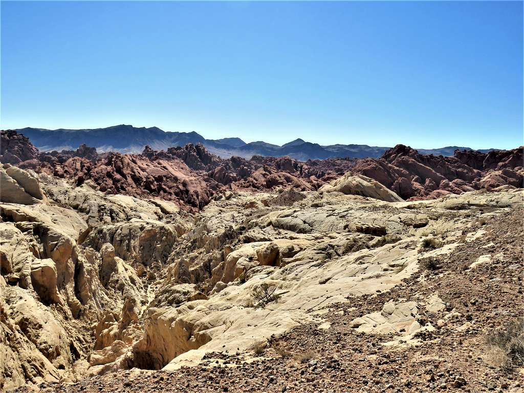
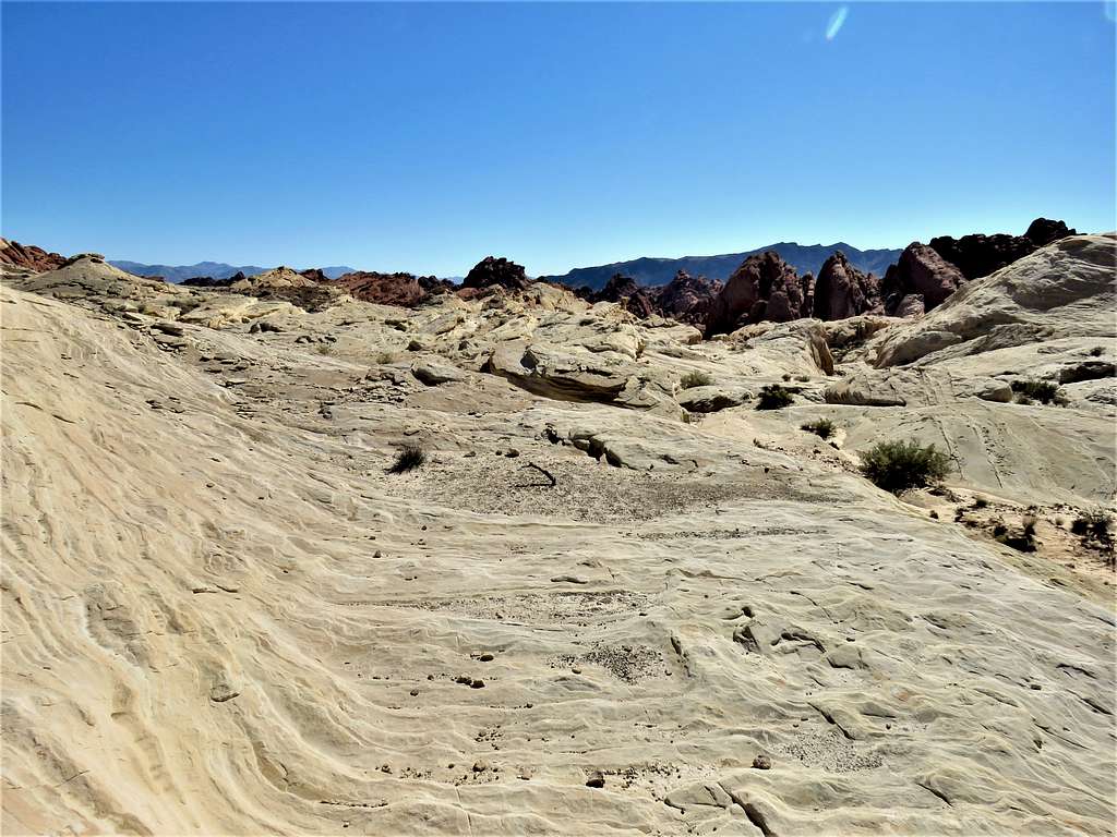
Slickrock country.
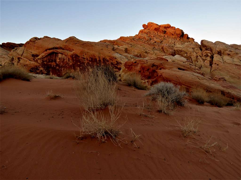
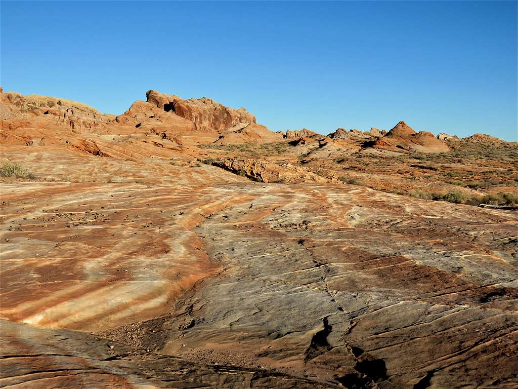
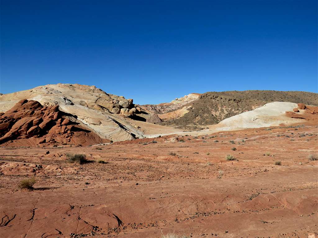
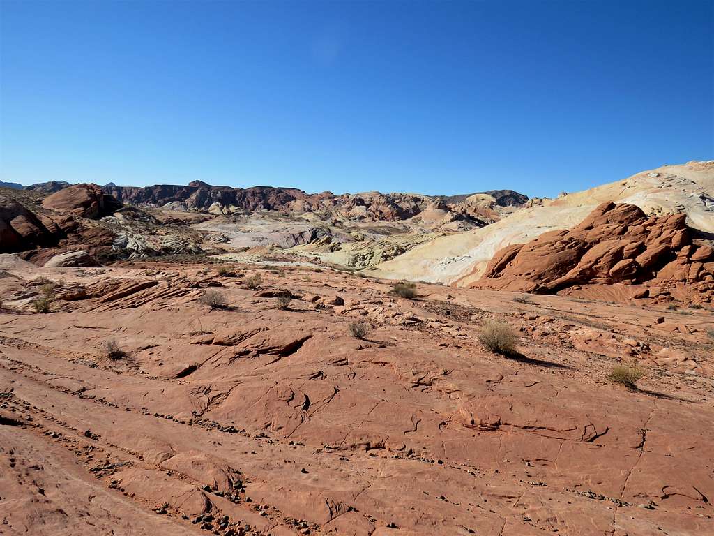
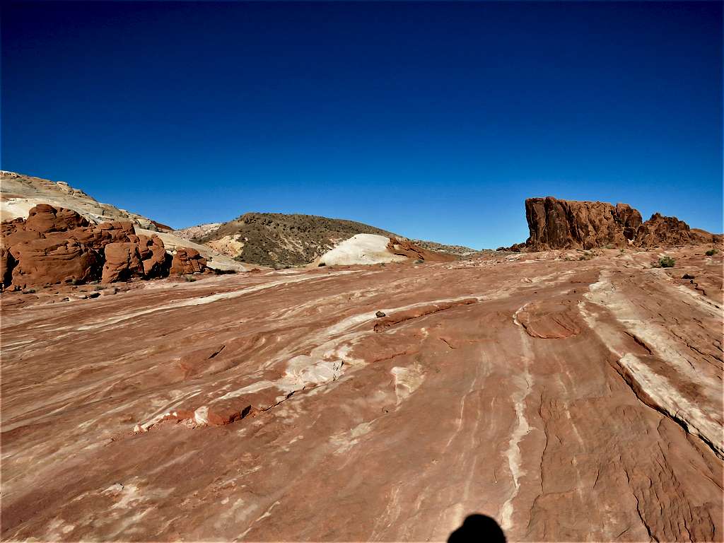
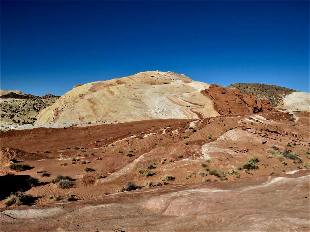
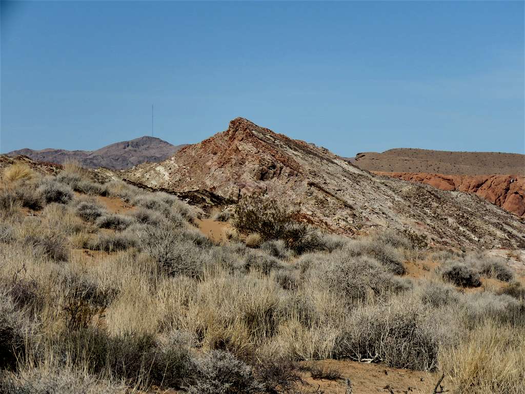
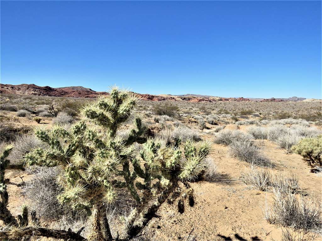
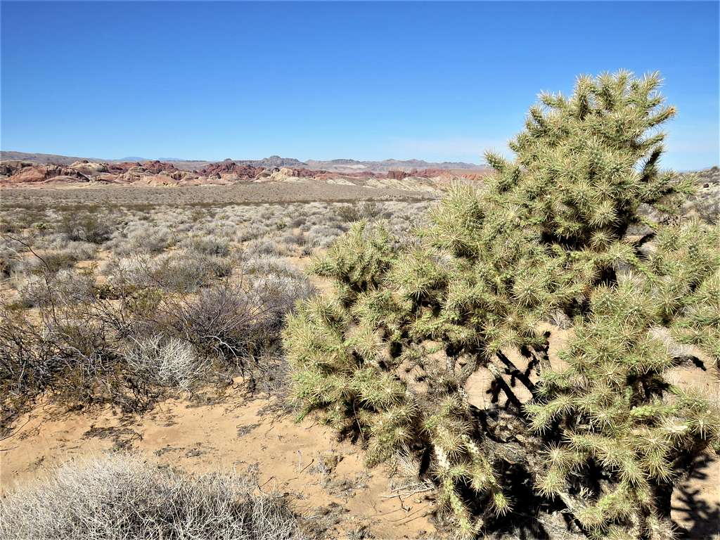
I then reached areas where the slickrock exhibited magical colorful stripes, just like I had seen on Google Earth.
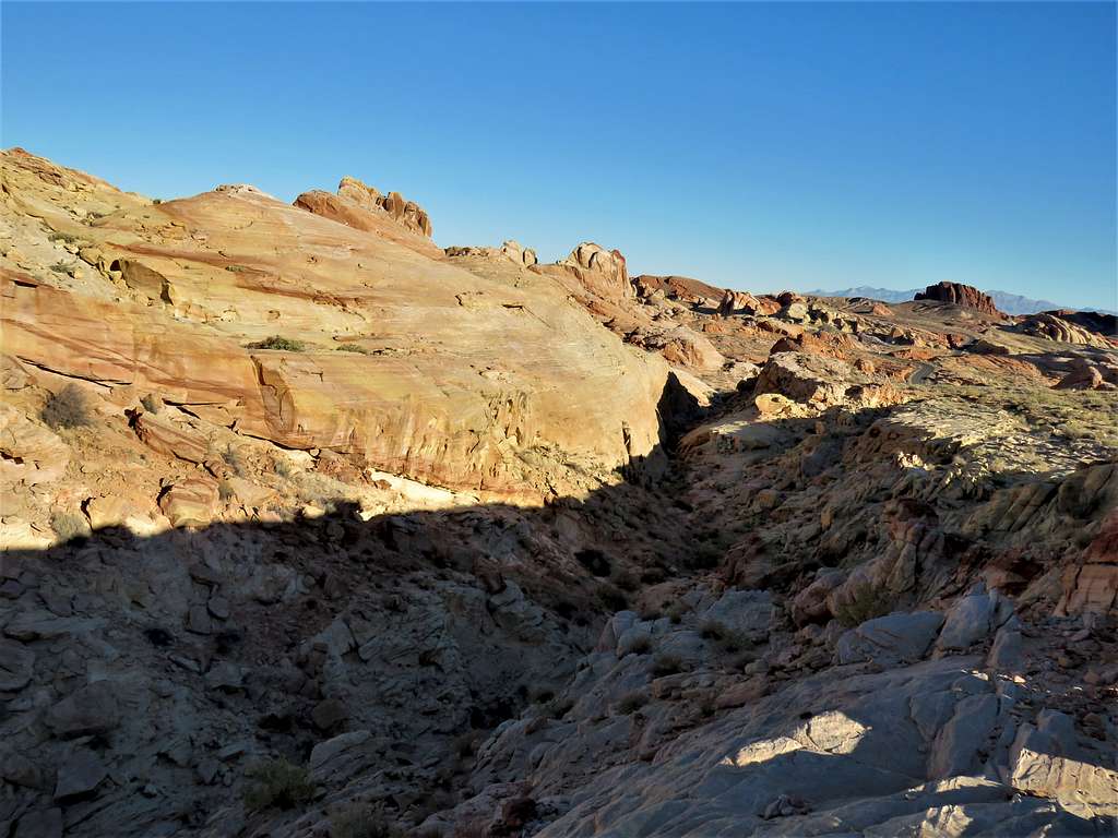
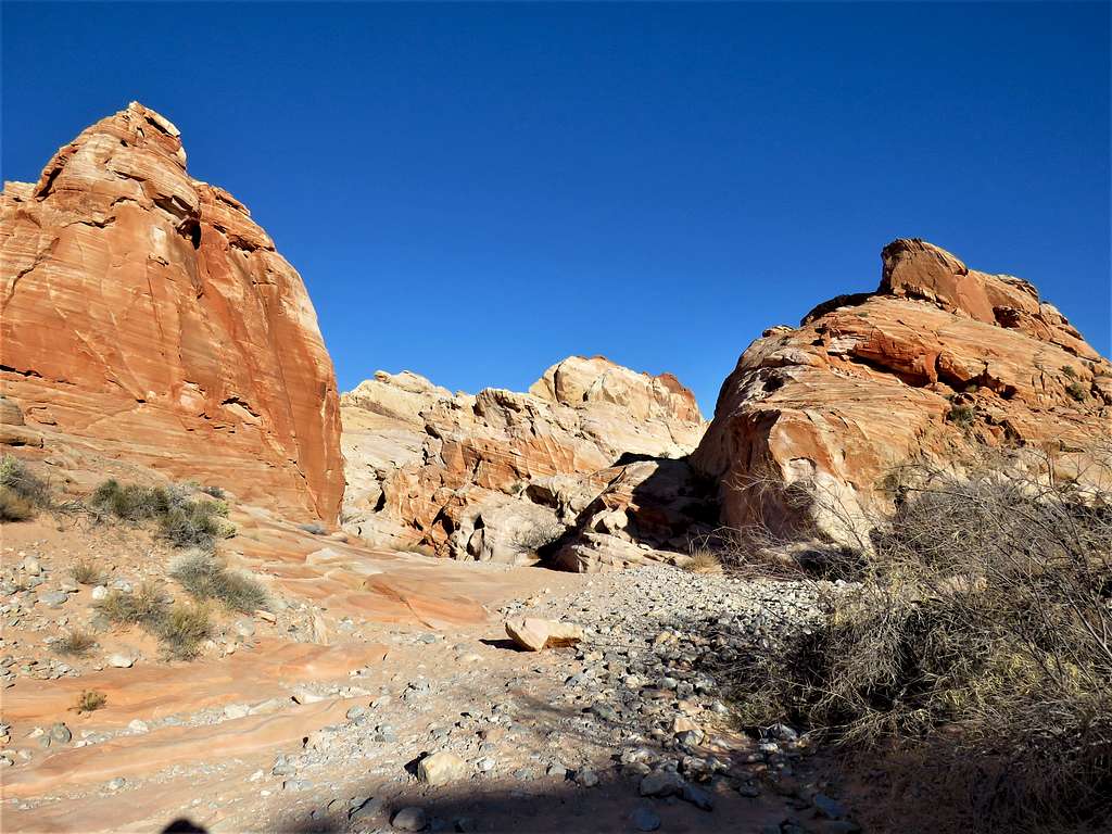
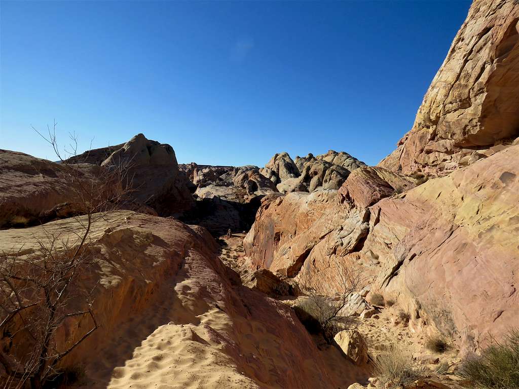
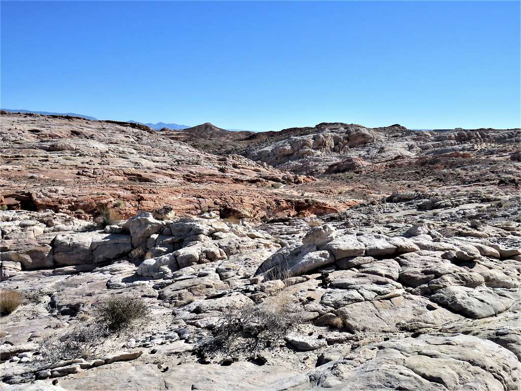
A small canyon appeared. I stayed on the east side of the canyon going toward the park’s main road.
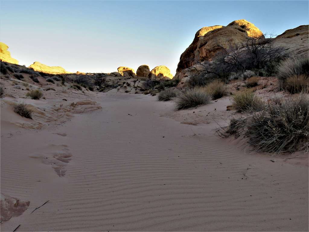
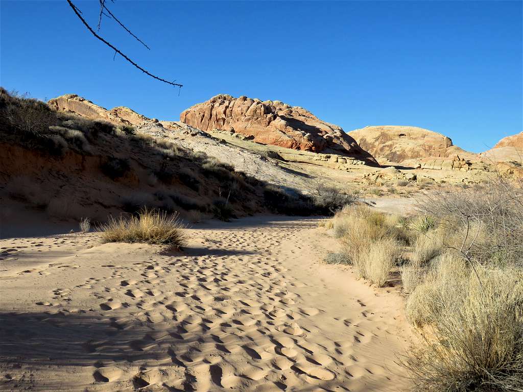
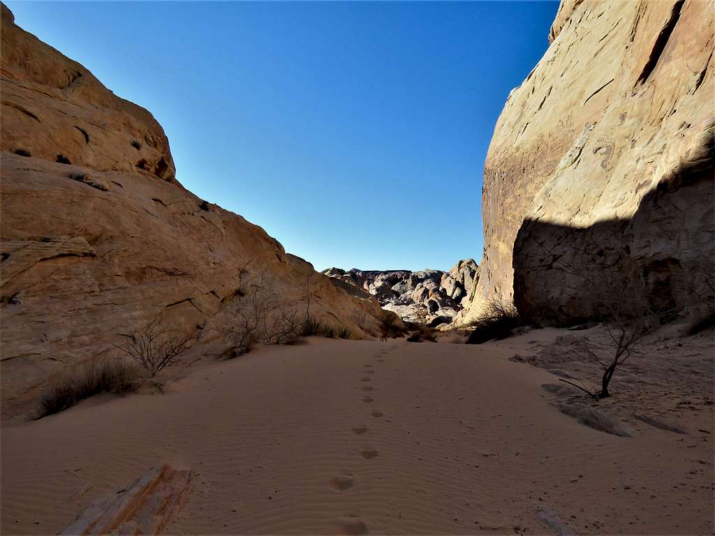
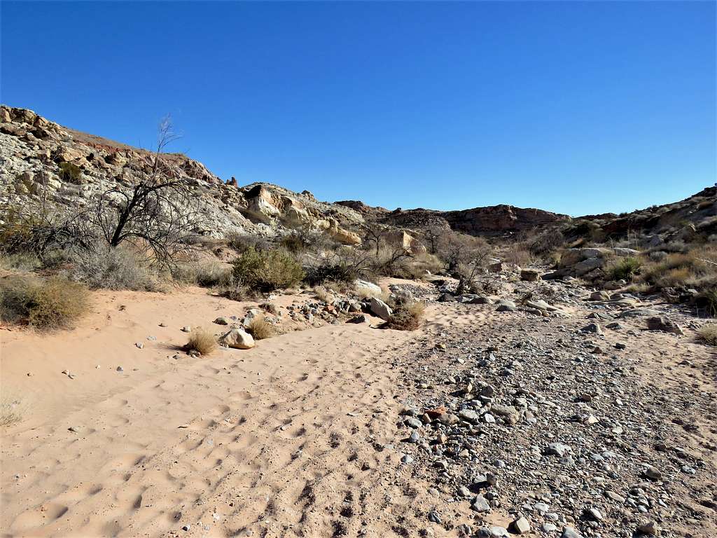
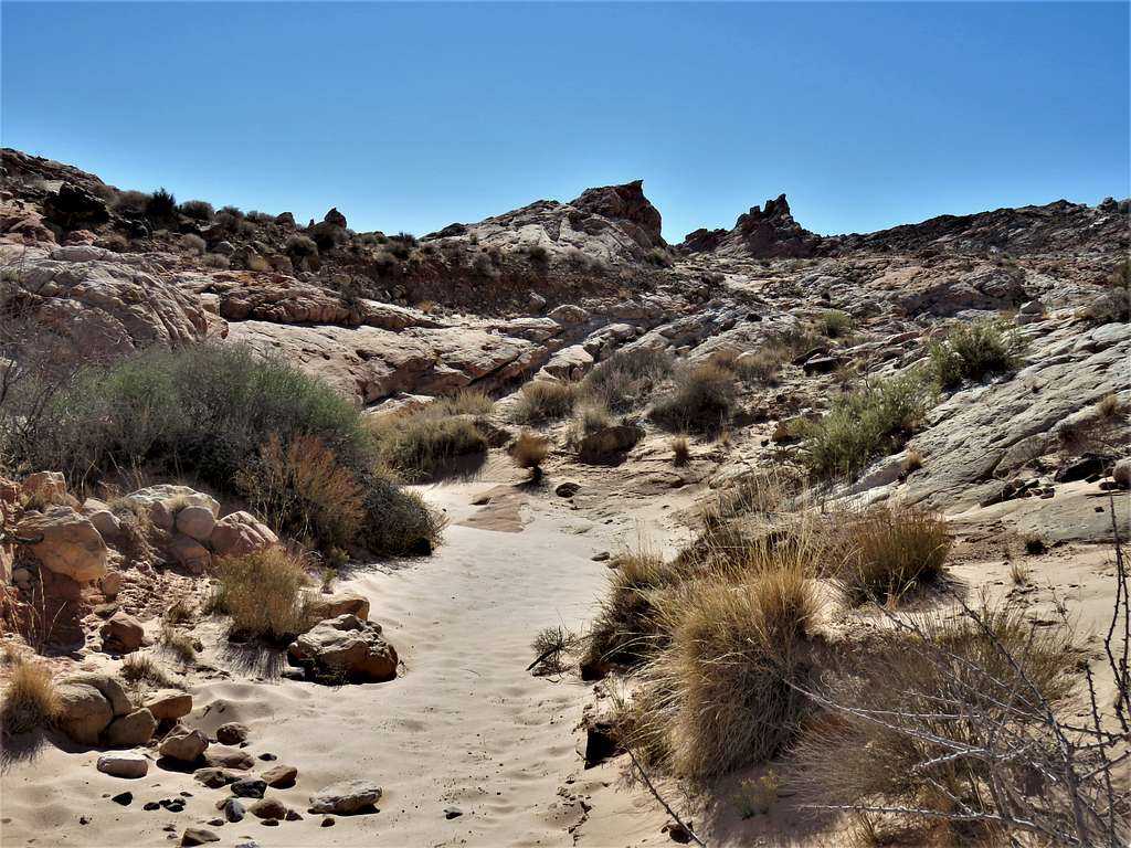
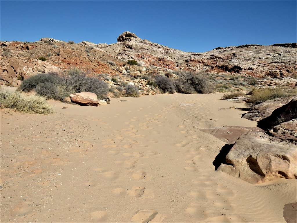
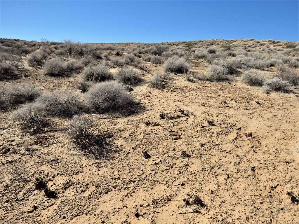
Crossed the road and got into a sandy desert wash.
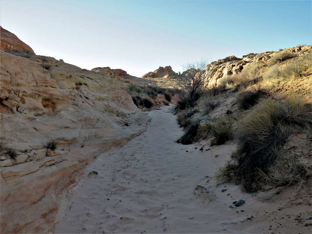
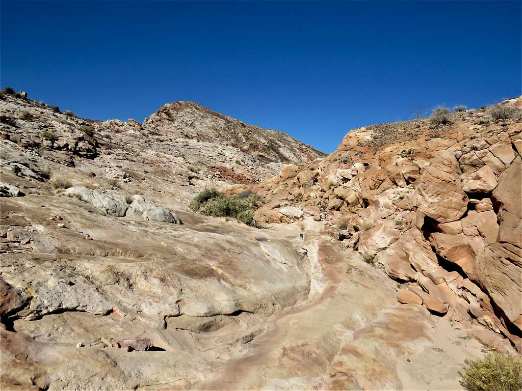
The wash took me back to the road where I crossed it again and got on an official park trail named Seven Wonders Trail heading west. I was expecting to run into other hikers but did not see anyone.
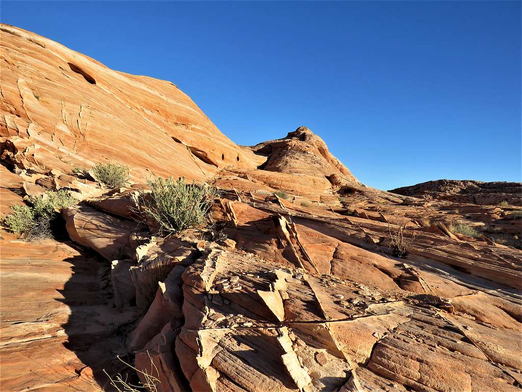
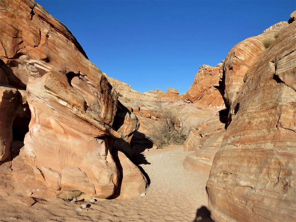
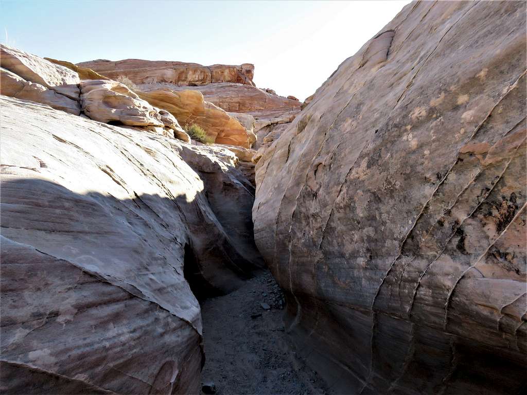
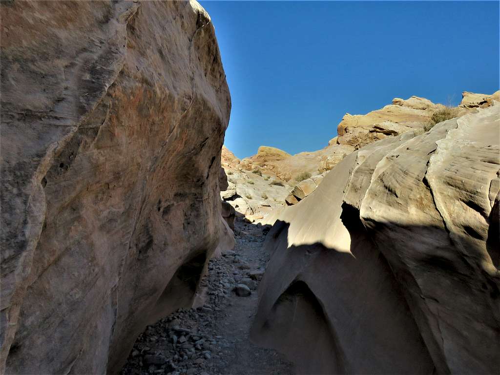
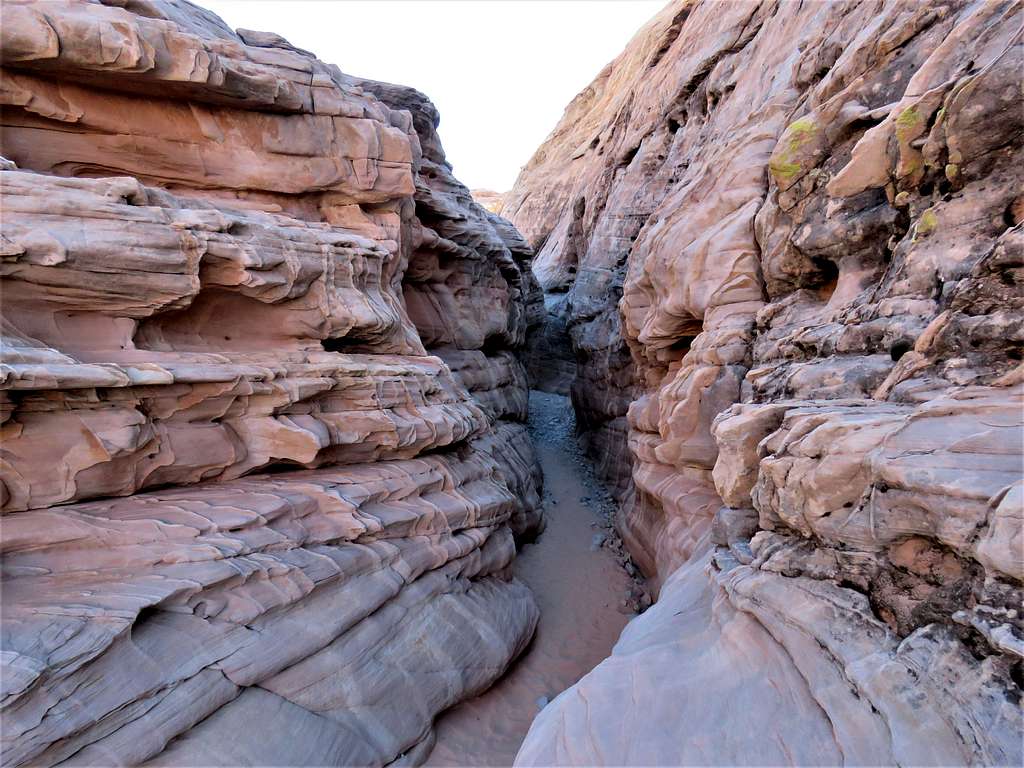
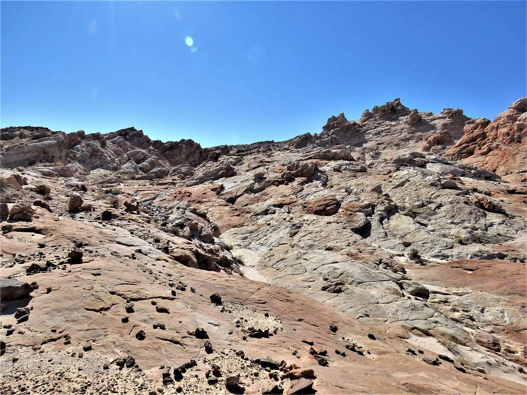
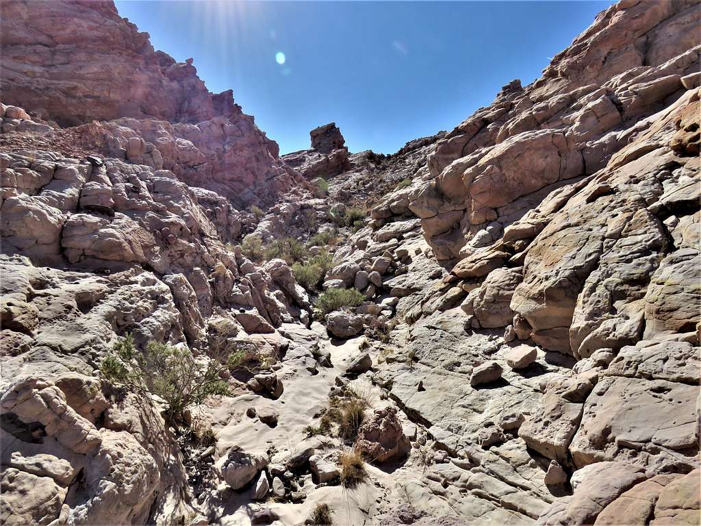
A slot canyon formed.
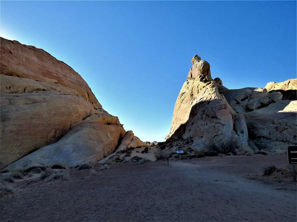
I was then at the junction with White Domes Trail.
Turned north and went up the trail.
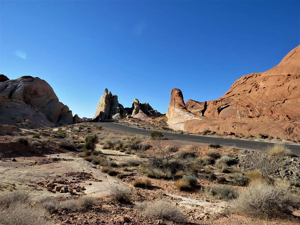
After 3.45 miles of hiking, at 8:42 a.m., I reached the big parking area at White Domes Trail Head. To my surprise, nobody was there. Sat in a place for 15 minutes to eat and drink. I was happy that no one showed up during my stay but thought that was odd.
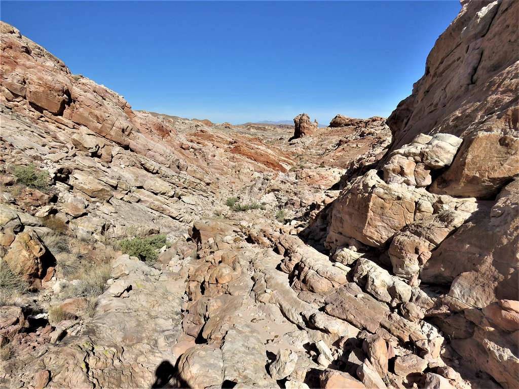
Then continued north.
View north.
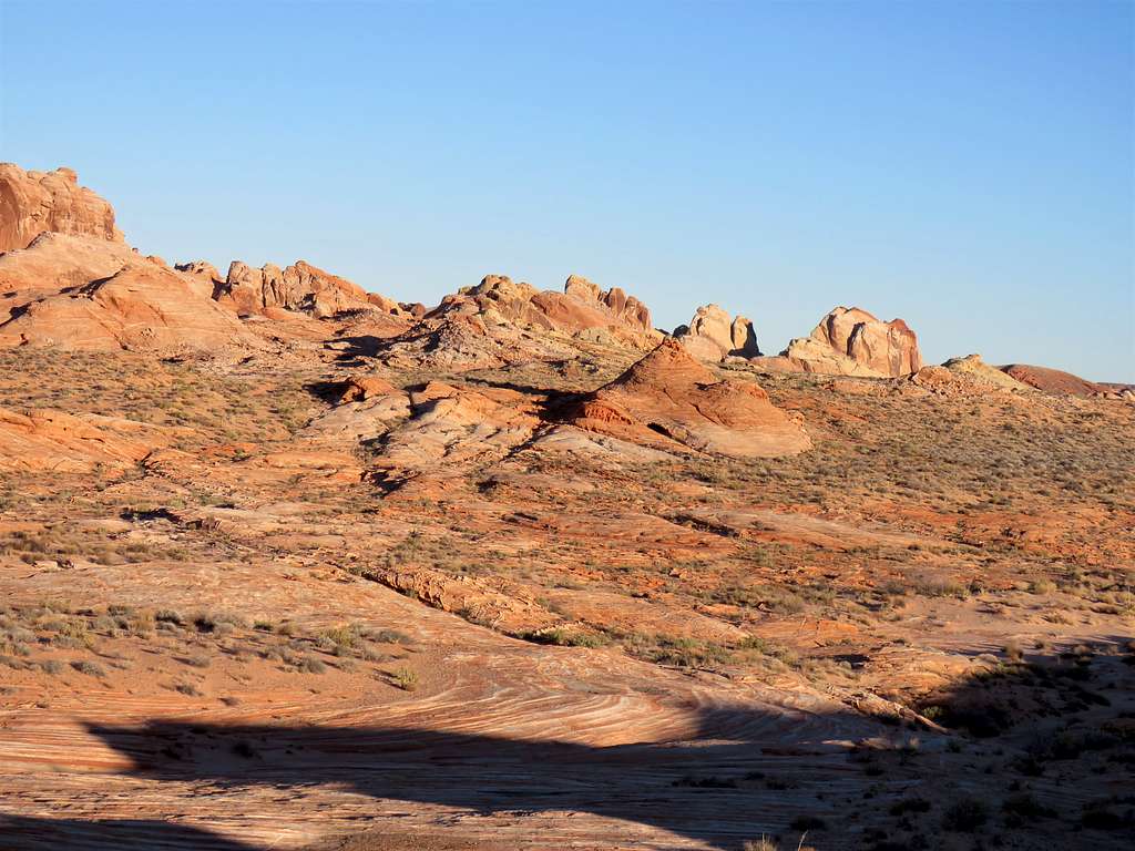
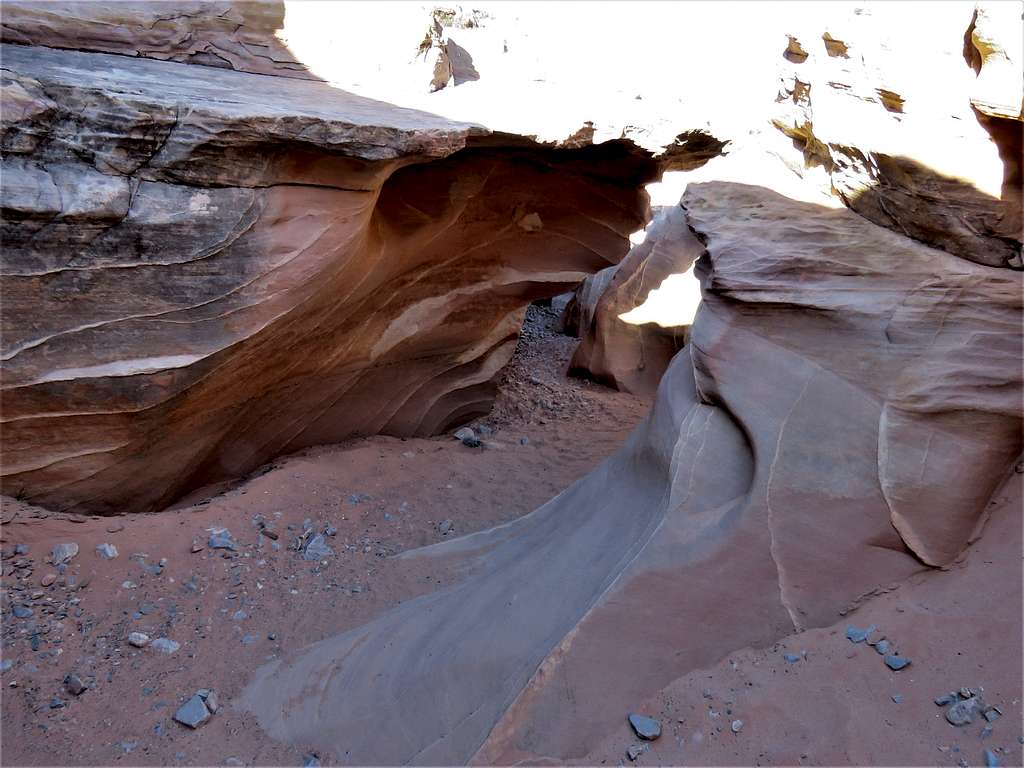
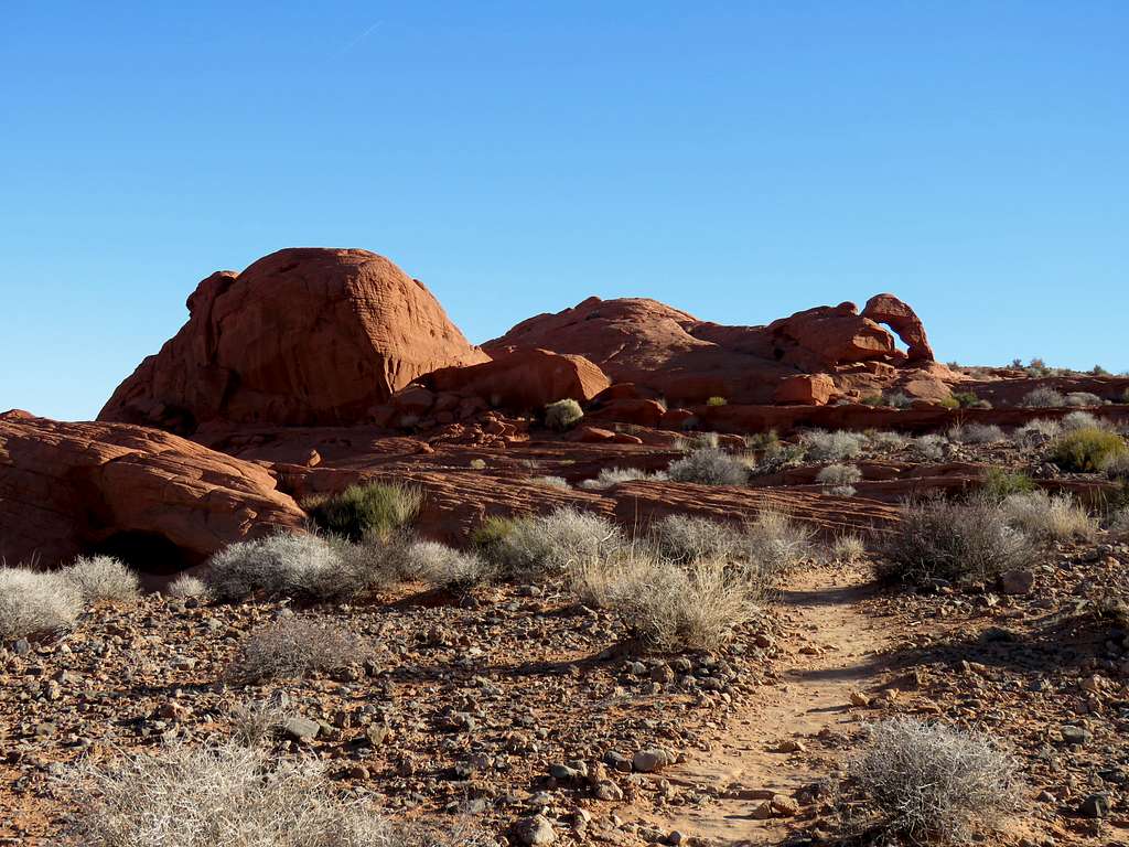
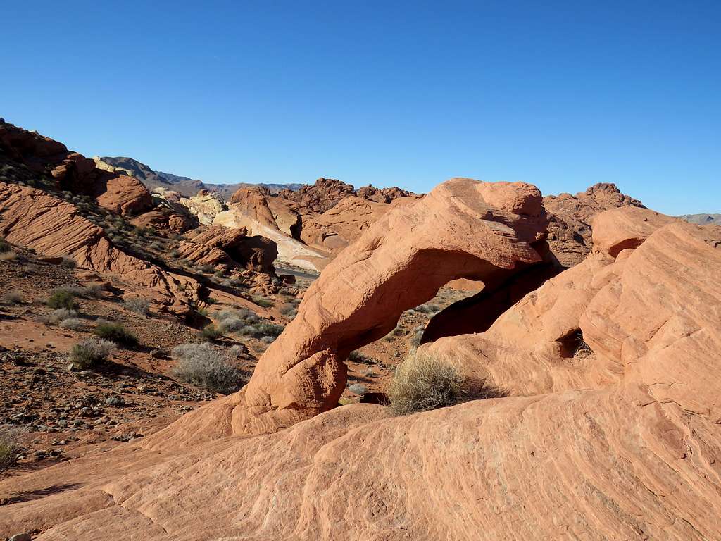
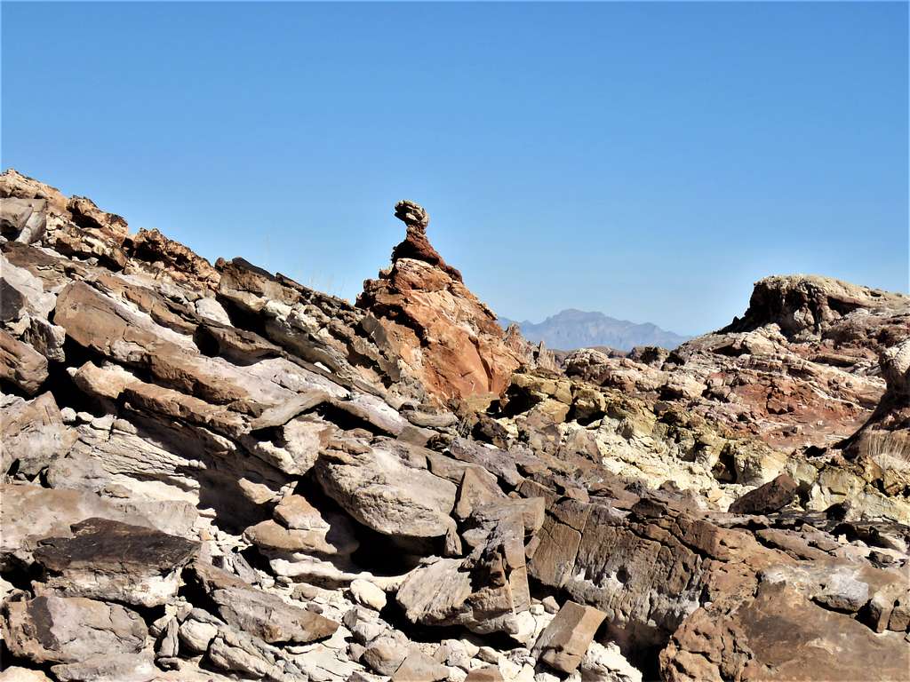
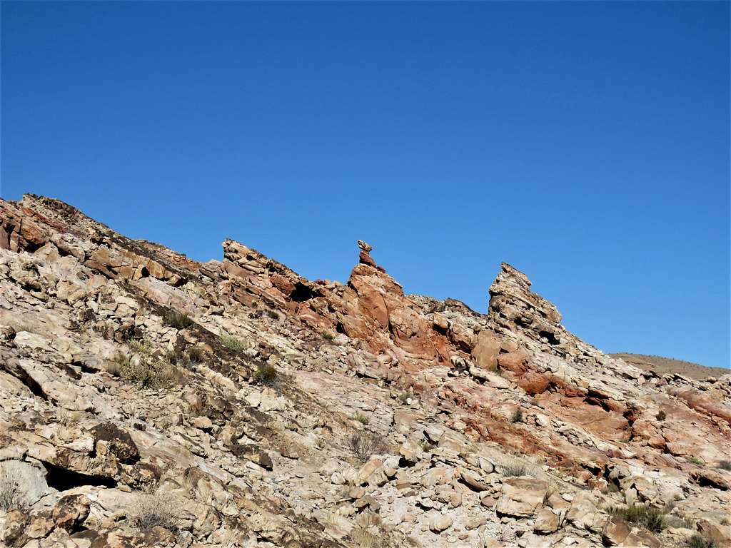
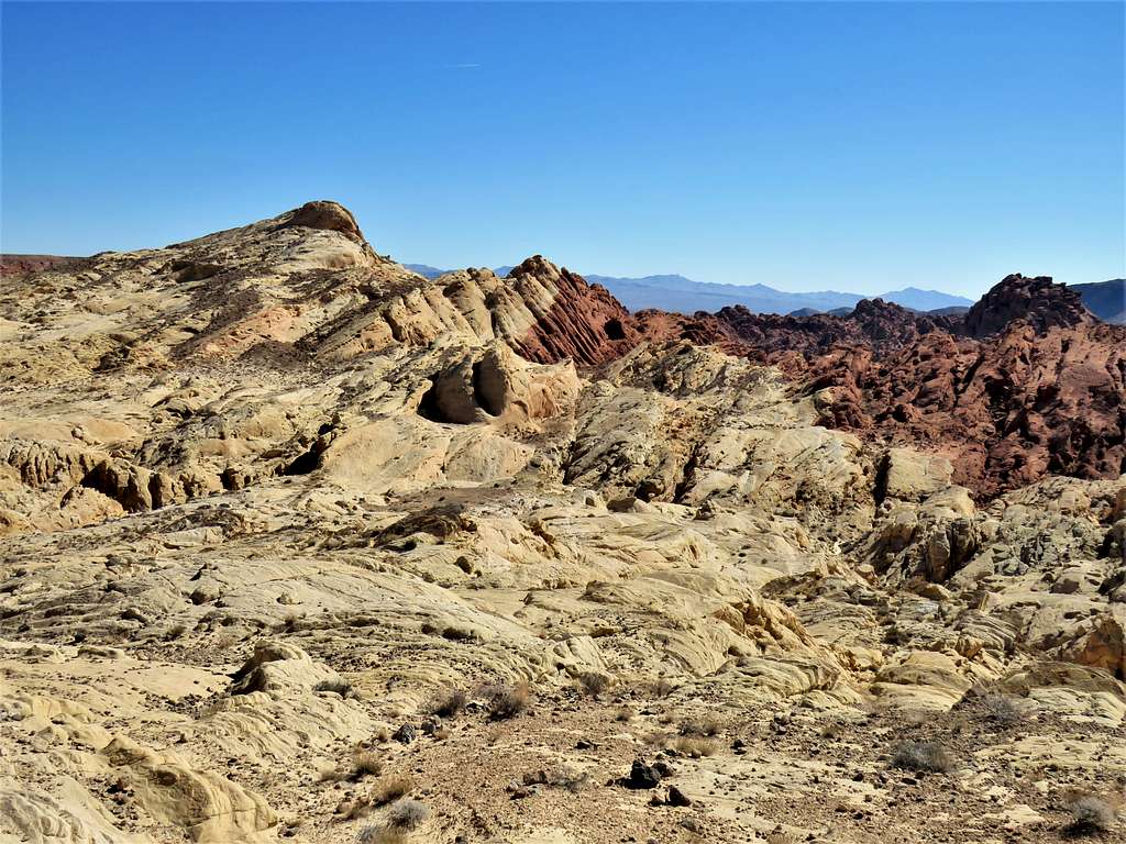
Turned east and went up a hill to a nameless unsigned arch.
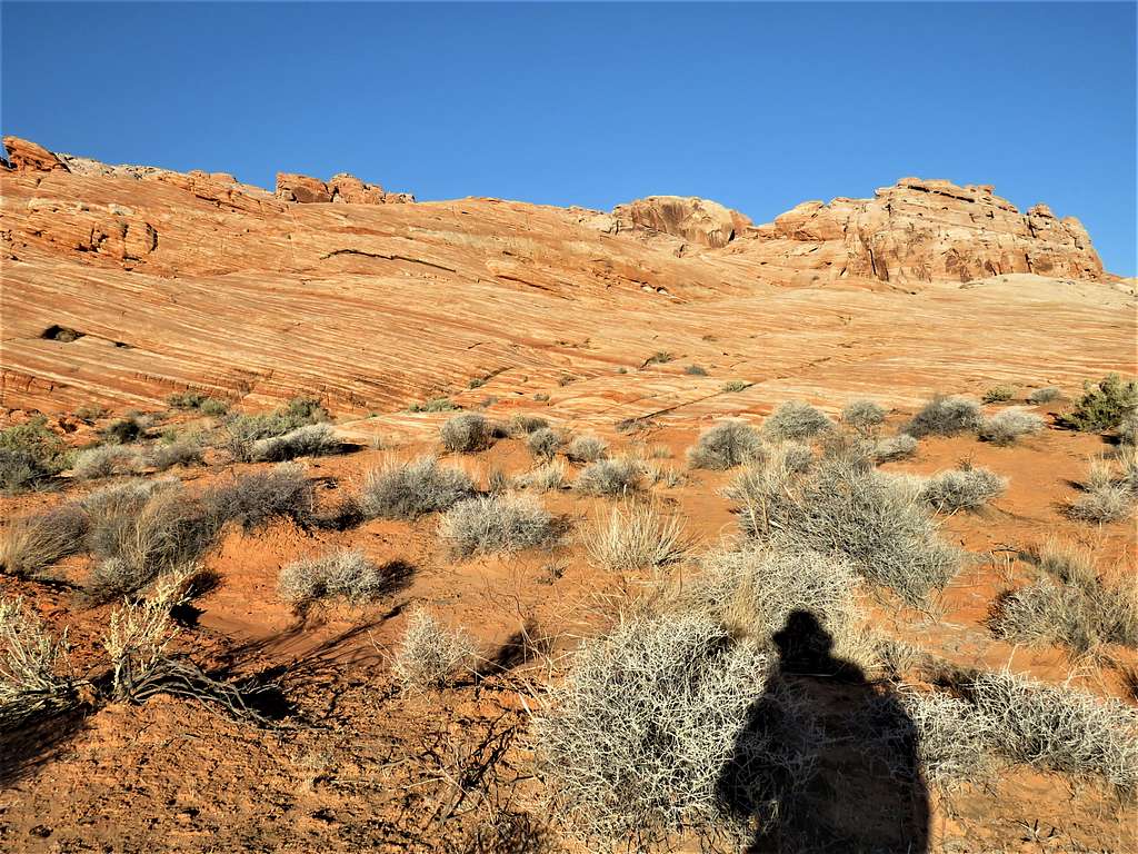
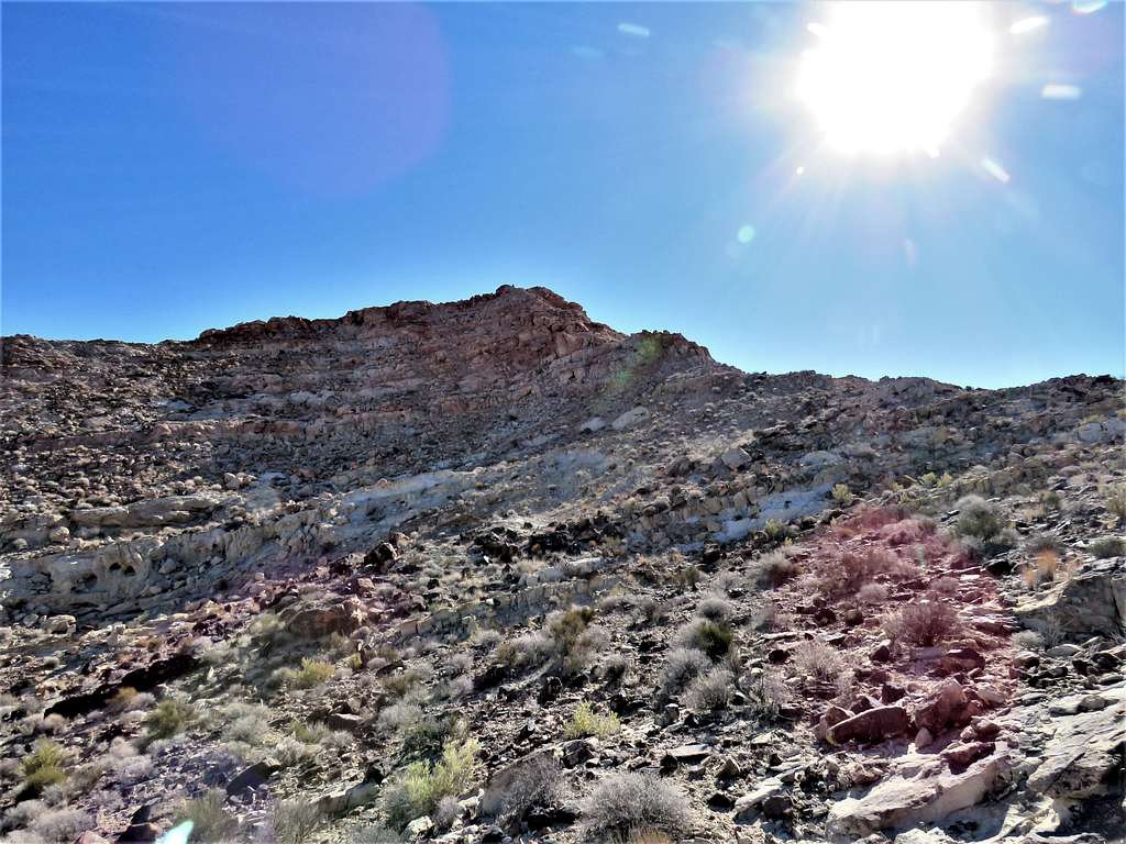
The trail then began to go downhill. To the southeast, I could see unnamed Peak 2155 ft that I planned to climb.
At 3.90 miles, I reached the Fire Wave Trail Head. Saw a lot of vehicles with park emblems including a trailer marked as Red Rock Country Search & Rescue. As I went east toward Gibraltar Rock, I could hear people yelling in the distance and at first told myself shame on them for disturbing the peace but then suddenly realized that they were yelling the name of the lost person. I also realized that they must have closed a portion of the park road and that was why I had not seen anybody at White Dome Trailhead.
Near the base of Gibraltar Rock, the trail turned south, and I saw several people in search and rescue outfits but no hikers.
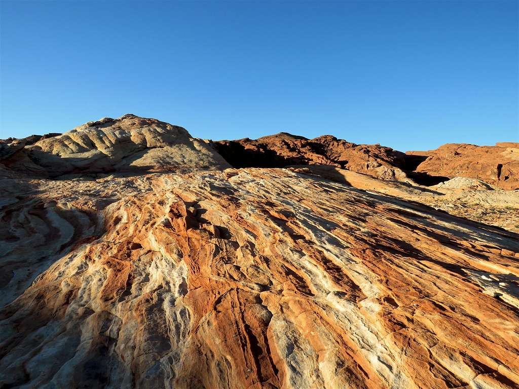
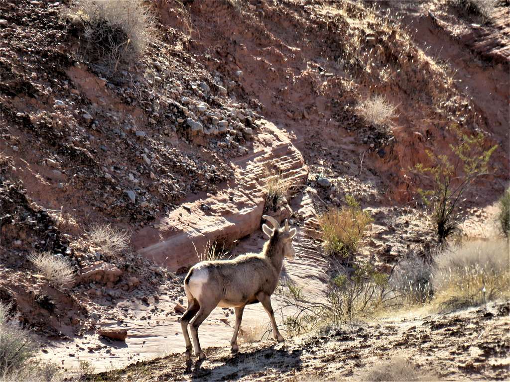
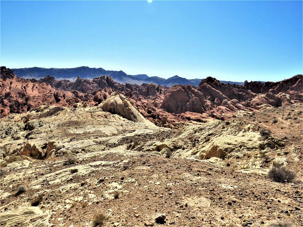
I was then in the area known as The Fire Wave, where the slickrock had wavy colorful stripes. Bad for the lost person but it made me have the whole place to myself. I was thinking it would have been ironic if those people were searching for me but why would my wife have called the rescue squad at that early hour?
The trail dropped into a dry wash. I saw two rescue people there and one of them asked if I happened to be Peter and I said no, then talked to them about what was going on.
Zoomed view.
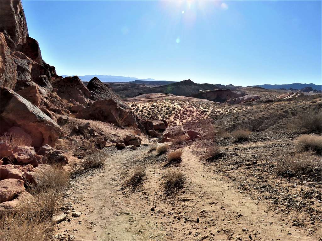
The trail turned west but I left trail going east following the bottom of the wash according to my plan.
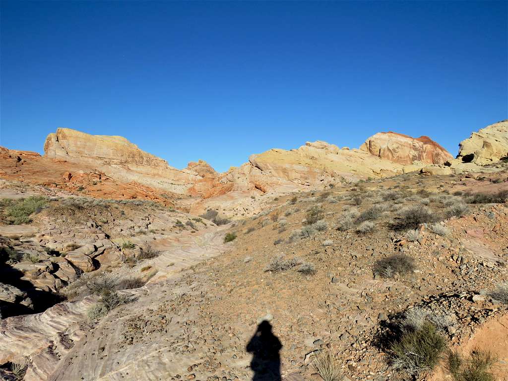
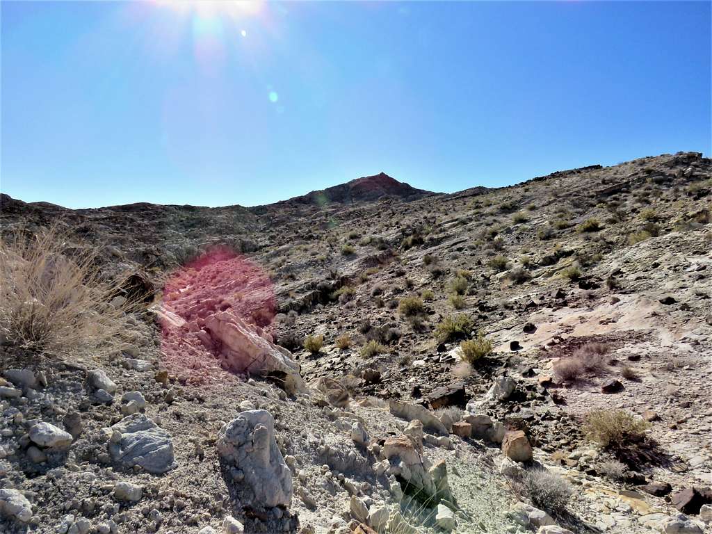
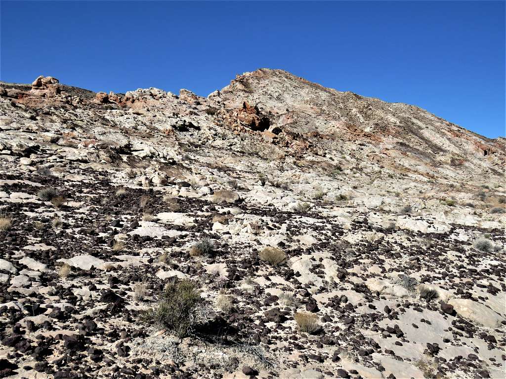
Made a 90-degree turn getting out of the wash and began to hike up the slopes south toward Peak 2155 ft.
View north behind me.
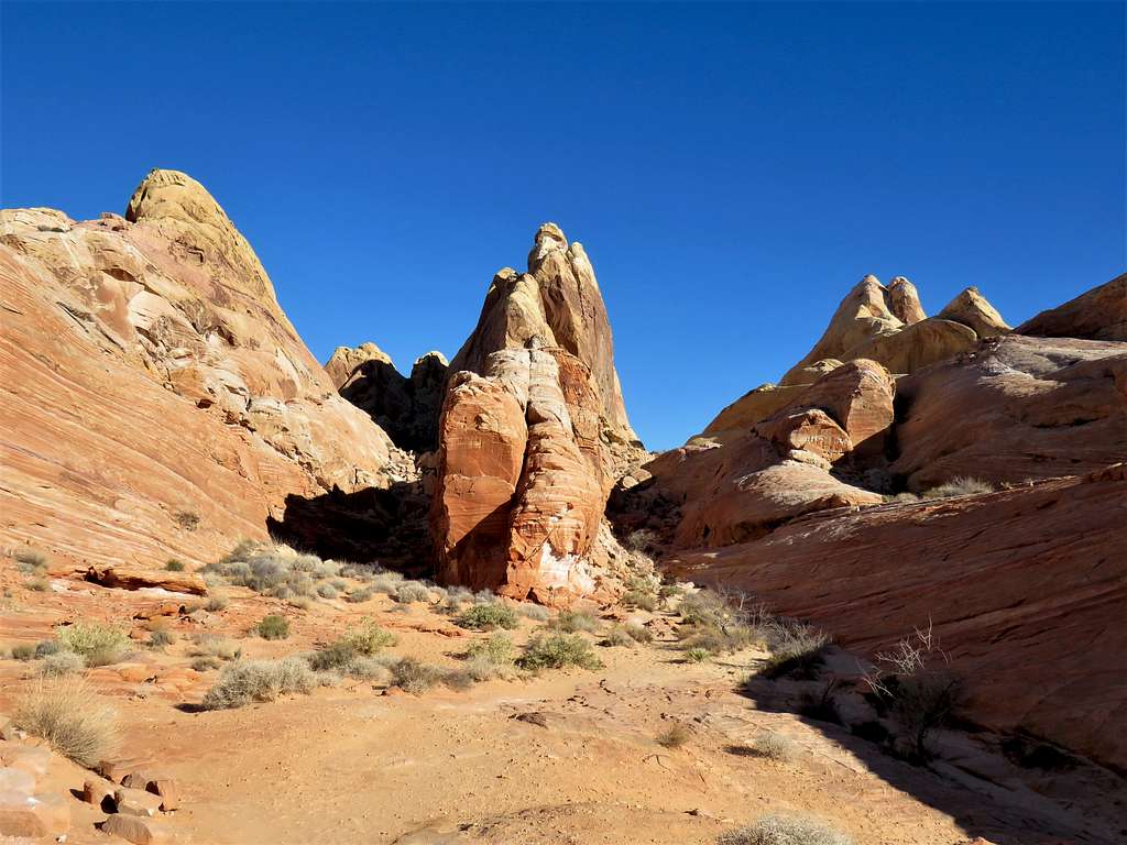
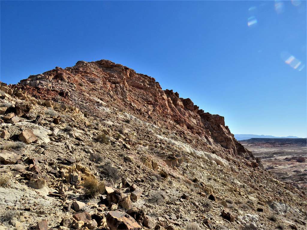
Peak 2155 ft.
Below the summit.
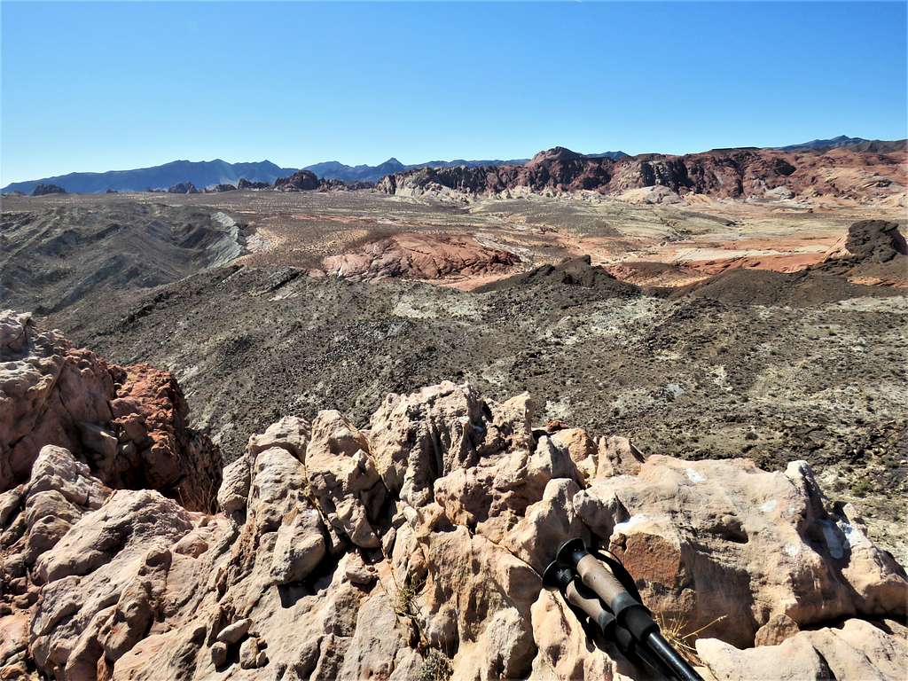
At 10:02 a.m. and 5.44 miles of hiking I reached the summit of Peak 2155 ft. Sat there to eat and enjoy the views.
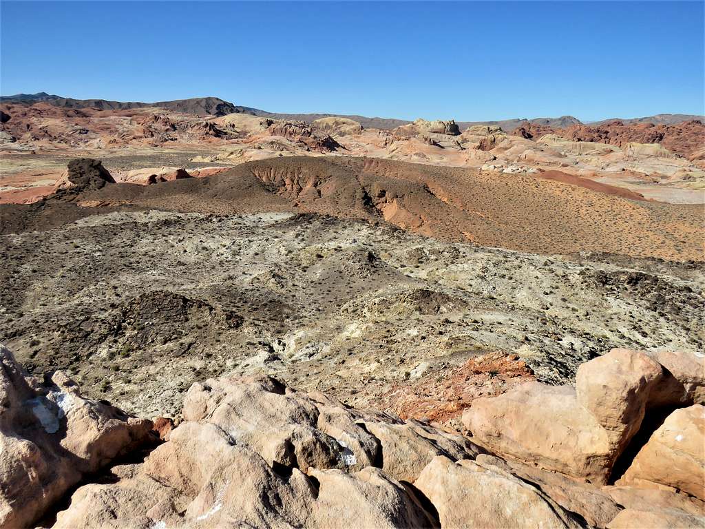
View southwest.
View west.
View northwest.
View north.
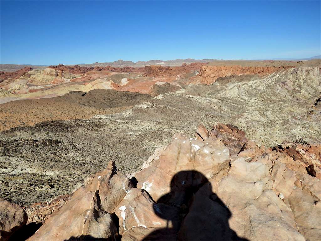
View east.
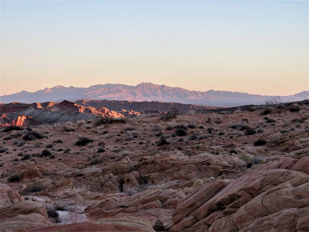
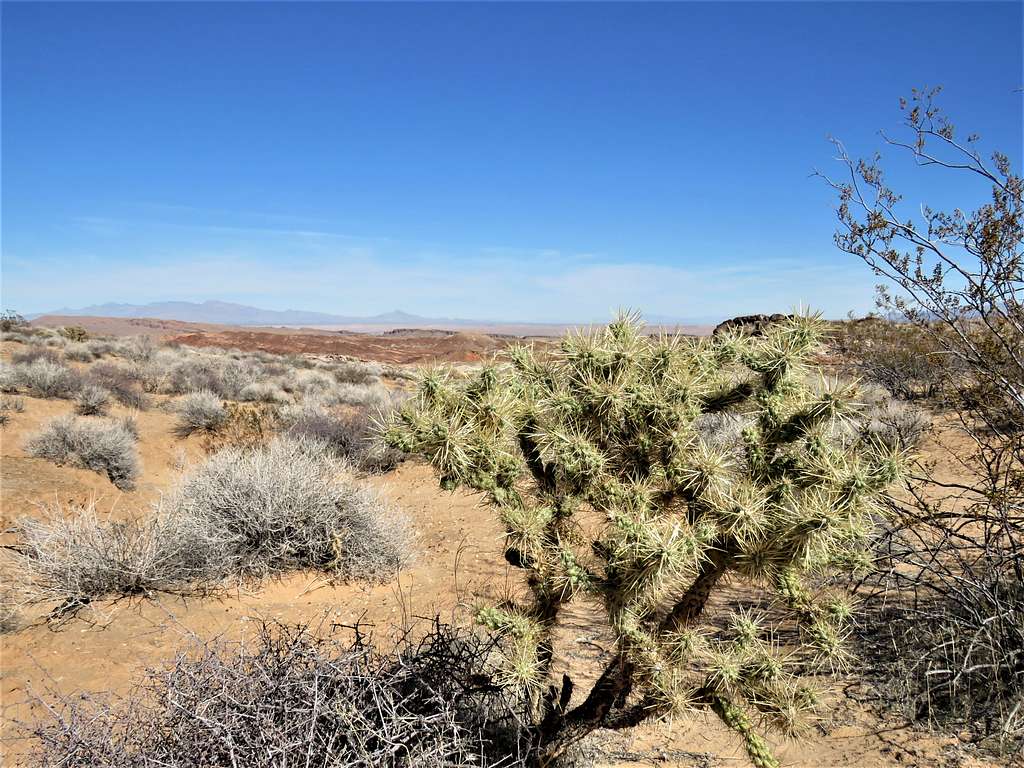
View southeast, Silica Dome and Baseline Mesa seen.
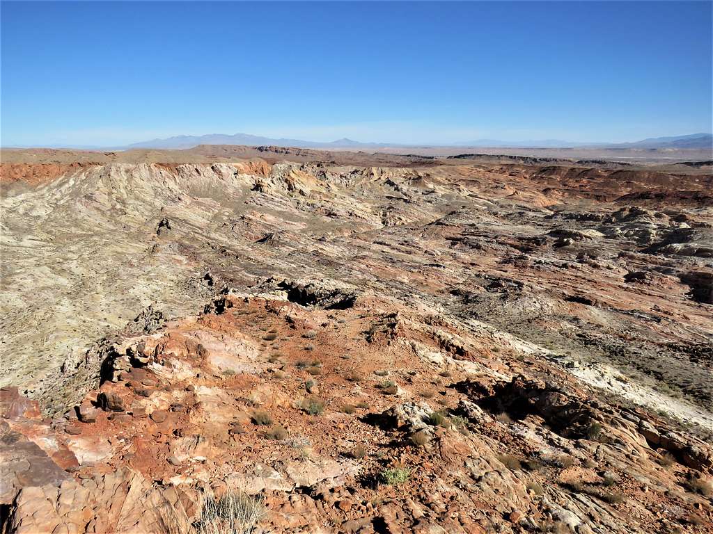
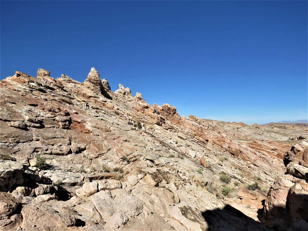
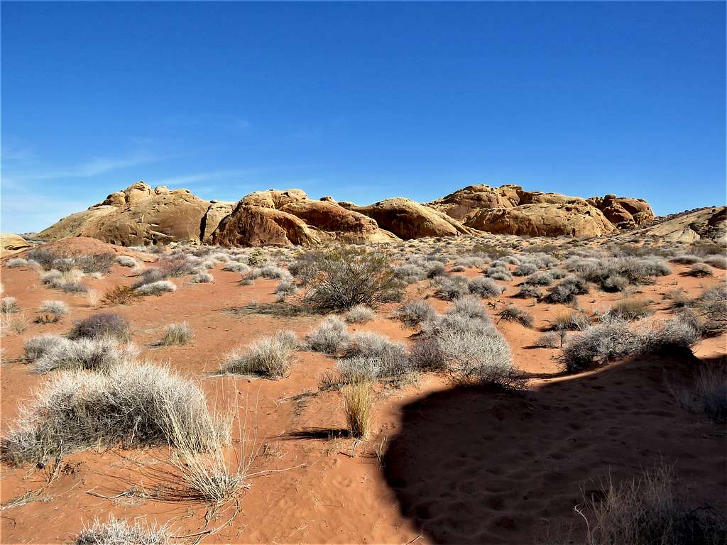
Left at 10:15 a.m. heading down the slopes of the mountain in a southeasterly direction. Hoodoos along the way.
Looking back at Peak 2155 ft.
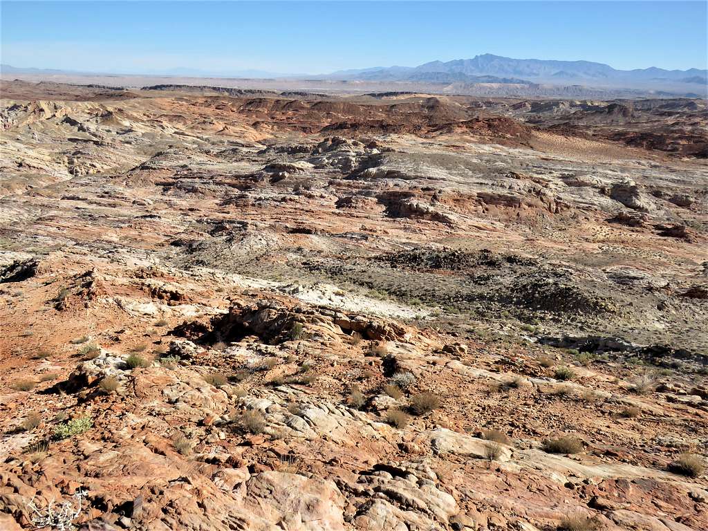
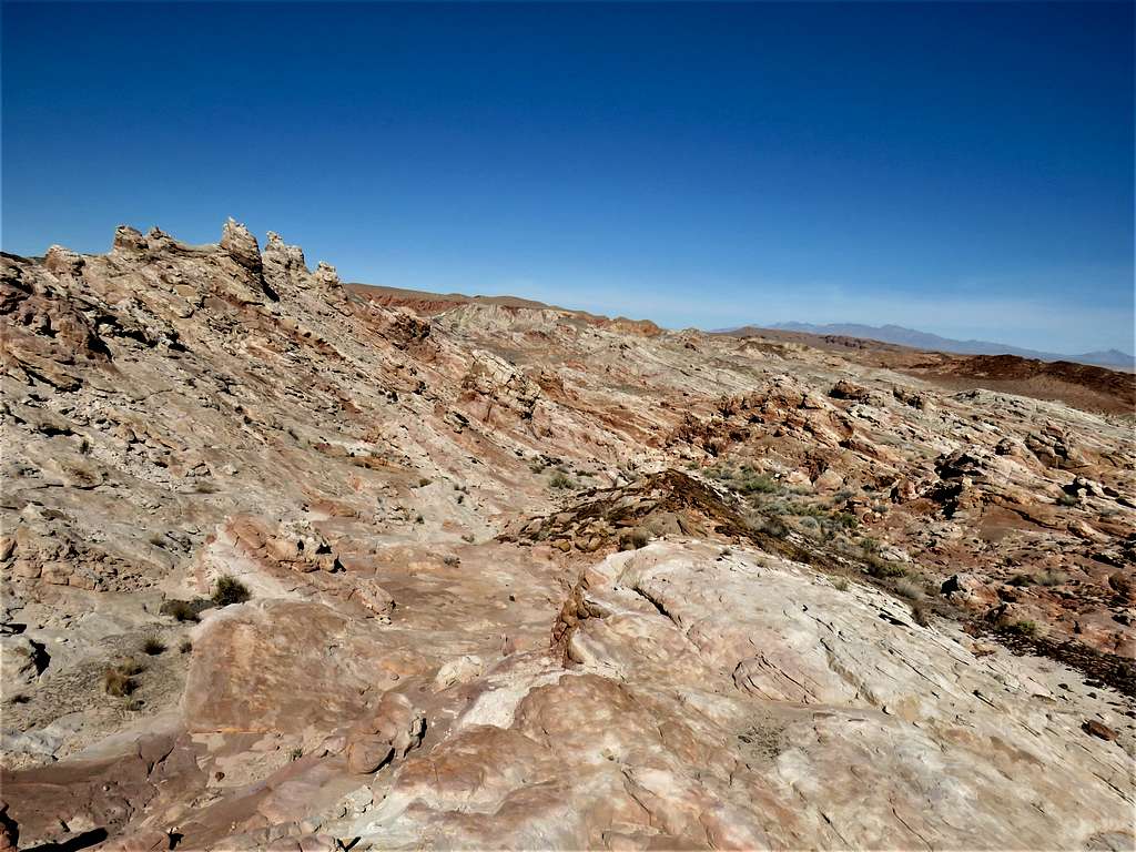
Lower slopes.
Having descended 371 vertical feet, I reached a dry desert wash.
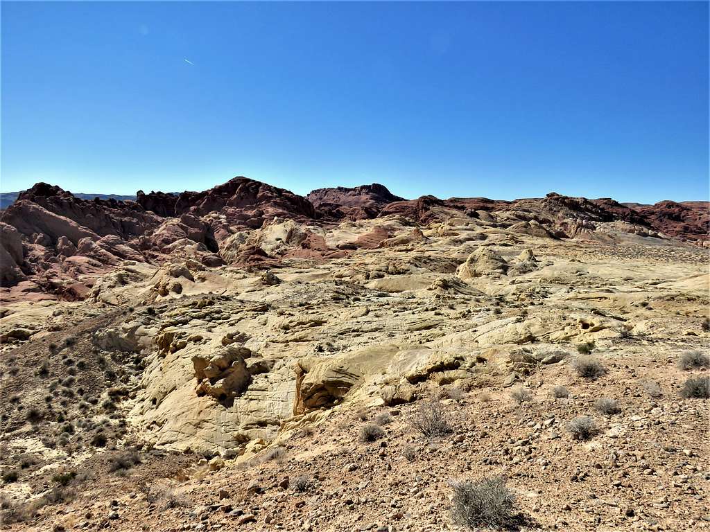
Crossed the wash and continued south on slickrock country.
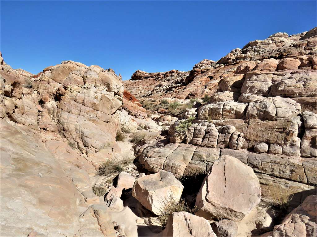
A canyon began to form.
Was worried about getting walled in the canyon but was able to walk out of the canyon at the head of it.
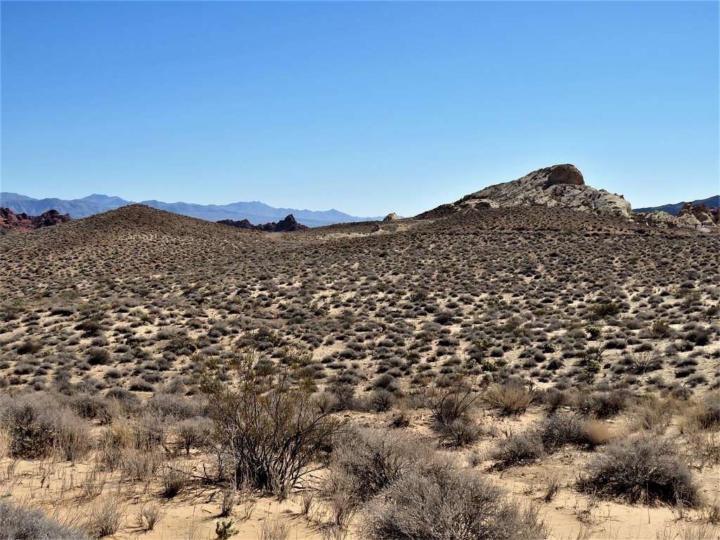
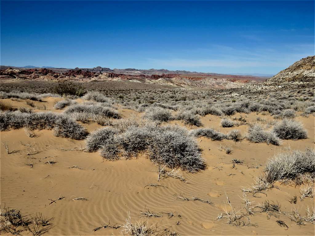
As I had seen on satellite photos, I was suddenly out of the slickrocks and found myself on a sandy desert plain.
Zoomed view back to Peak 2155 ft. I could hear a low flying helicopter, presumably part of the rescue effort, but I never saw it (You can actually see a helicopter on the right side of the below picture. I did not see it while taking the picture).
Continuing south on the desert plain.
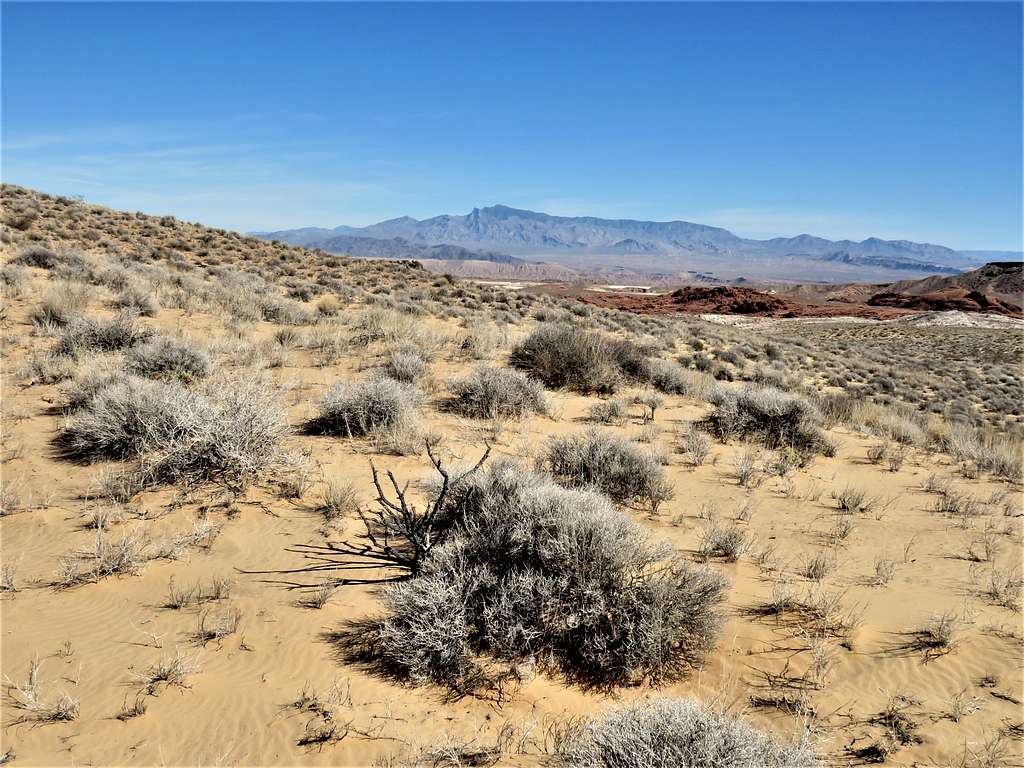
Once on a high point, Silica Dome came to view to the south.
Another zoomed view of Peak 2155 ft.
Continuing on the desert plain.
At 11:48 a.m. and after 7.65 miles of hiking I reached Silica Dome parking area. A lot of cars and people were there. The original plan was to hike to the top of Silica Dome too, but I did not want to go among the people and still had a long drive back to Lake Las Vegas, so I decided to skip Silica Dome.
Turned west and began to hike back to my starting place parallel to but at some distance from the road.
Found my way on a sandy plain to Rainbow Vista Trail where I saw a lot of hikers. Reached my car at 12:17 p.m. and 8.67 miles of hiking. The parking area was full. It was 70 degrees F. The one-hour drive on Northshore Drive back to Lake Las Vegas was itself quite beautiful.