
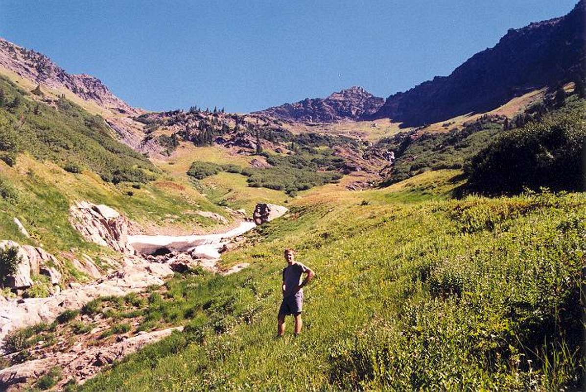
Me at the bottom (4,900-ft...
Me at the bottom (4,900-ft level) of the South Basin (Y Basin) of Clark. See Approach Route 2. Note how the stream splits into two tributaries, thus my reason for the name Y Basin. We continued on up the left stream as it beared directly for Clark's main summit. The SE Peak (Pt. 8373) can be seen above.


