Panoramas don't get much better than this (
I think...).
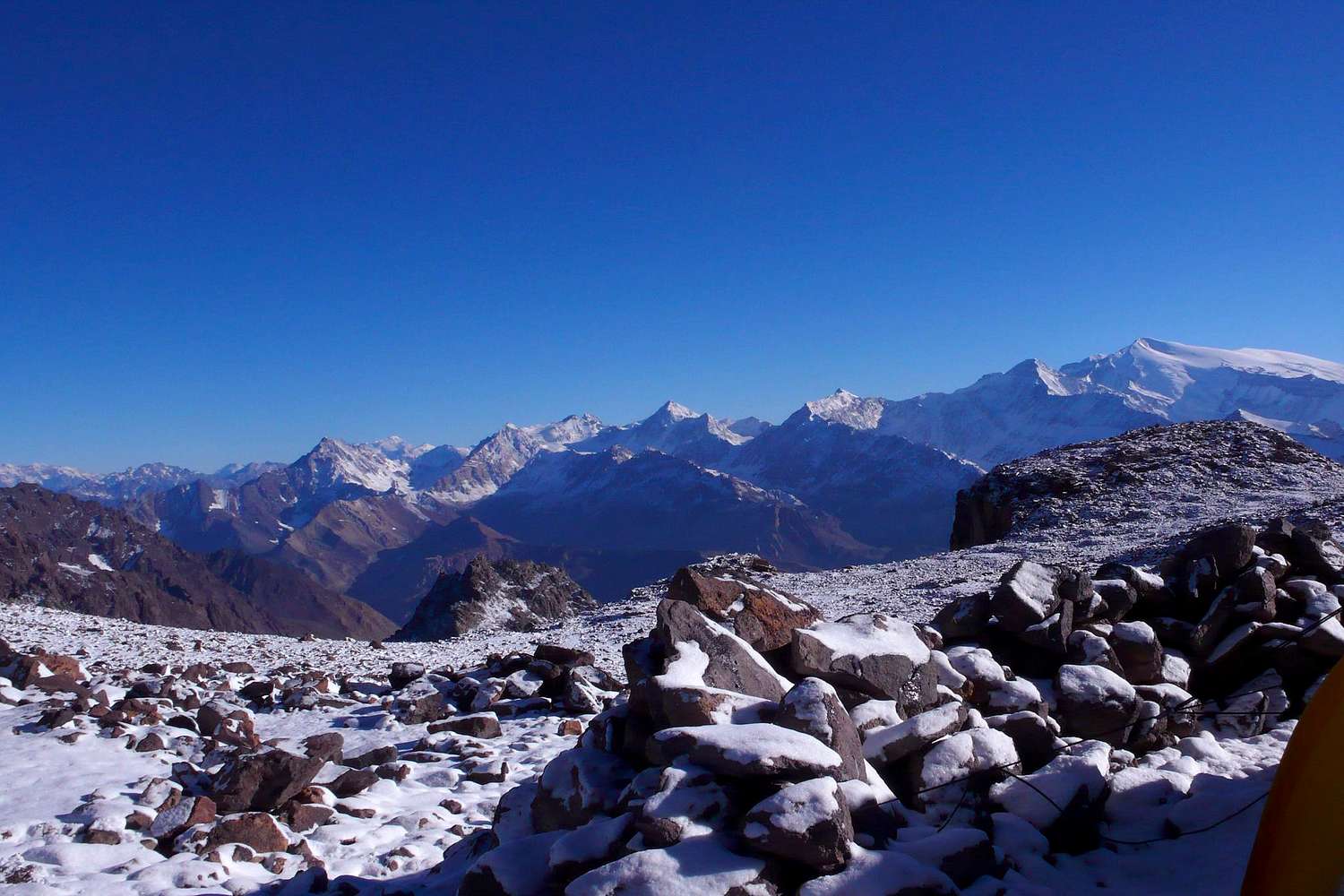
From
camp 1, the view ranges from Cerro del Plomo (5424m) to the far left, via Tupungatito (5640m), Alto (6148m) and Piuquenes (6019m), to Piramide (5520m) to the far right. The high snowcapped peak farthest away, in the left half of the picture, could be Polleras (5993m), but
I'm not sure.
The white mass to the far left is the well-known
Cerro del Plomo (5424m), which is almost always, including here on SummitPost, mistakenly referred to as Cerro
el Plomo. The
real El Plomo however, is some 20km further to the north-east, significantly higher (6070m) and far more remote. (Cf. John Biggar, The Andes — A Guide for Climbers, ISBN 0-9536087-2-7, p. 217; Hermann Kiendler, Die Anden — Vom Chimborazo zum Marmolejo — Alle 6000er auf einen Blick, ISBN 978-3-936740-36-3, pp. 349–352.)
03/02/2010 08:12:30


