
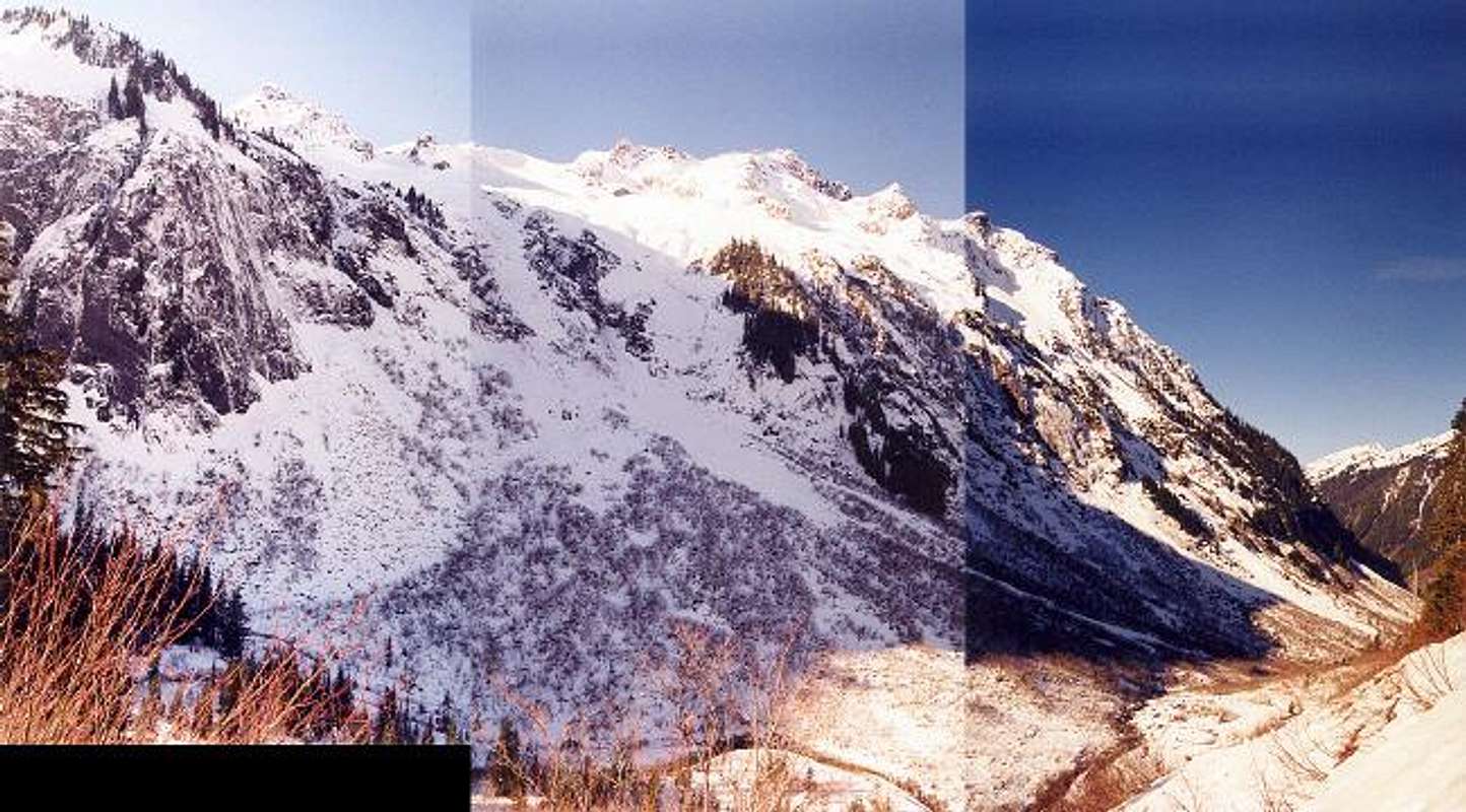
The northeast slopes of Mt....
The northeast slopes of Mt. Sefrit on February 10, 2003. The winter of 2003 saw very little snow at mid-altitudes. We were able to drive to within a quarter-mile of the Ruth Creek Trailhead. Usually, the road is closed six or so miles before the trailhead. You shouldn't be able to see this brush in February.


