
|
|
Route |
|---|---|
|
|
38.55888°N / 109.58286°W |
|
|
Hiking |
|
|
Spring, Summer, Fall, Winter |
|
|
Most of a day |
|
|
Hike |
|
|
Overview
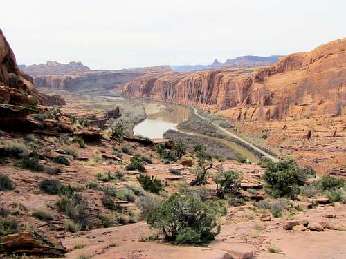
Moab Rim refers to a rough four wheel drive road that takes you to the top of the cliffs that rise to the southwest of Moab, Utah. The route starts on Kane Creek Road near Colorado River and follows a steep slick-rock pathway up the walls of Colorado River Canyon to reach a plateau. It then continues on the plateau to a cliff-top viewpoint where Moab can be seen more than 1000 ft below. La Sal Mountains will also be in good view.
A branch of Moab Rim Road turns into a hiking trail and goes to Petro Pass where you will gain access to Hidden Valley Trail. Please see the page for Hidden Valley Trail. From Petro pass you can continue north onto Hidden Valley and down the cliffs to reach a trailhead in a southern Moab neighborhood.
On the day that I did this hike, I saw no motorized vehicles but keep in mind that this may not always be the case.
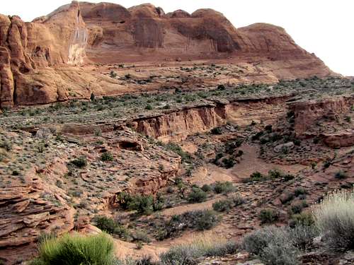
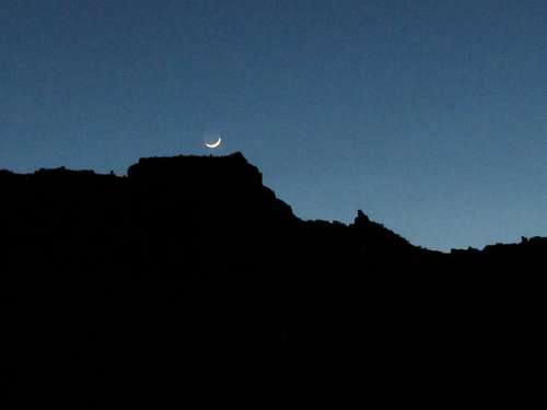 Moab Rim (the cliffs to the southwest of Moab)
Getting There
From the southern parts of Moab, Utah (where McDonalds is), turn from Route 191 (Main St.) west onto Kane Creek Road. This road goes to follow the eastern banks of Colorado River. After a little more than 3 miles, you will see a parking area and information sign.
Route Description
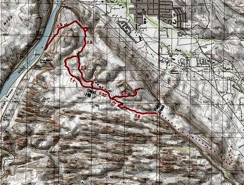
Trailhead Elevation: 3960 ft
Elevation at Moab Viewpoint: 5320 ft
Elevation at Petro Pass: 5220 ft
Roundtrip Hiking Distance: 10.5 miles (the route shown on the above map)
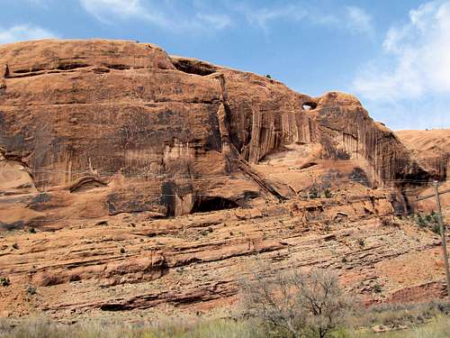 View at trailhead, the arch sits on the other side of Colorado River
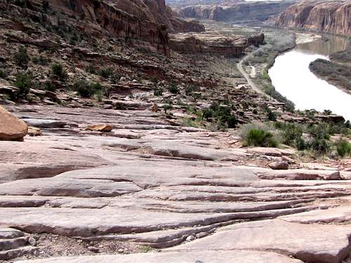
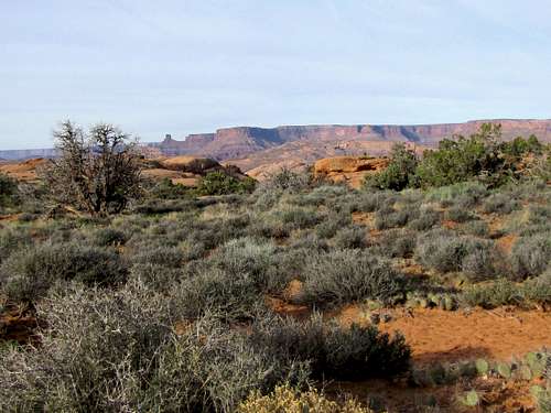
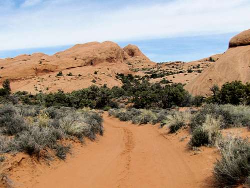
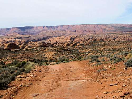
The first 0.9 miles of the road follow a steep slick-rock pathway 900 vertical feet up the walls of Colorado River Canyon. This area is popular with four wheel drivers although on the day that I was there, I did not see any motorized vehicles.
 |
 |
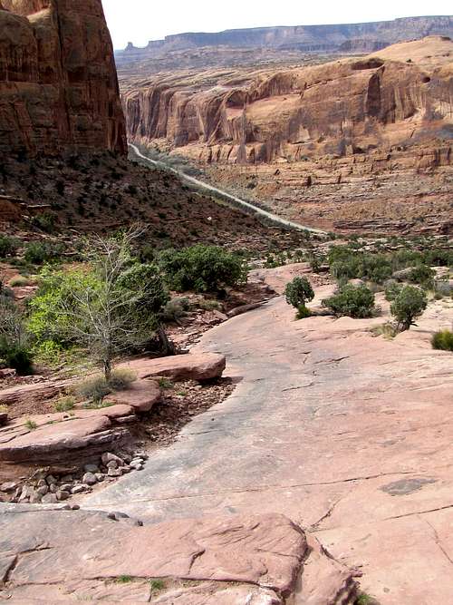
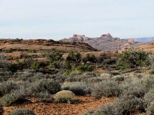
You will then reach the top of a plateau.
 |
 |
A short side trail gets you to the edge of the plateau where northern Moab will be in view. This is a different spot than the higher viewpoint at the end of the trail described below.
 |
 |
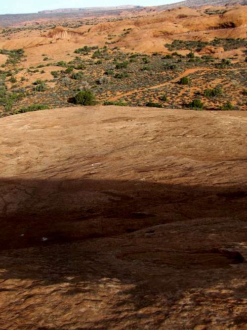
The trail continues on the plateau going slowly downhill.
 |
 |
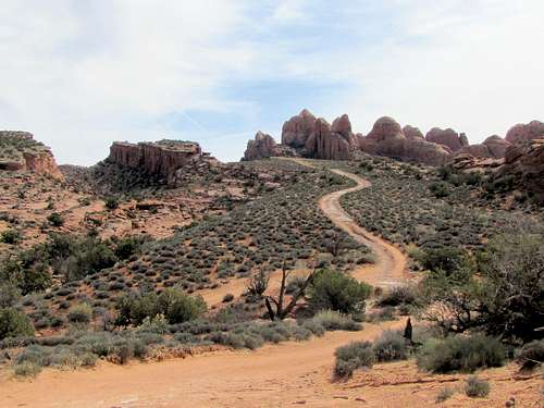
You will then reach a split in the road. You can go either way, the two routes join again in about a mile. Right takes you to the top of a slickrock dome with good views. Left follows the bottom of a sandy canyon and then goes up a steep sand hill.
Slickrock Dome Route Option:
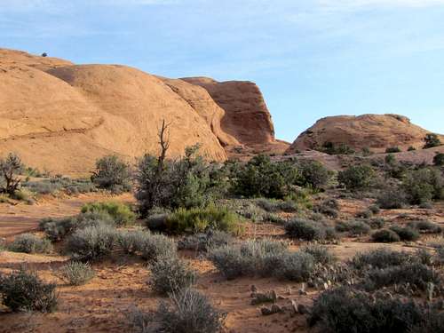
Continuing on the plateau.
 |
 |
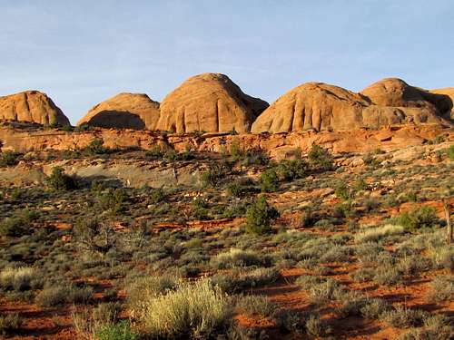
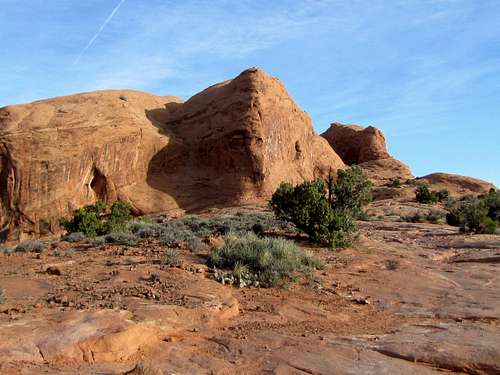
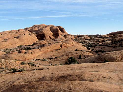
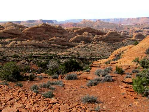
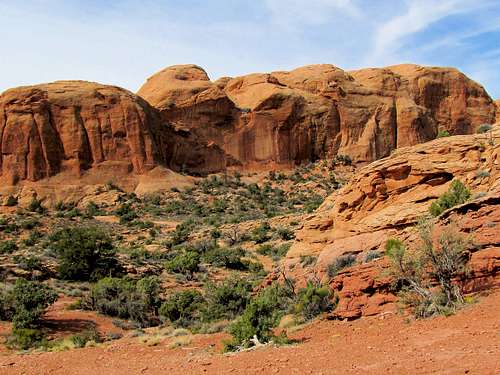
You will then reach a slickrock dome. Follow the dashed line directly up to the top of the dome.
 From the top of slickrock dome From the top of slickrock dome |
 From the top of slickrock dome From the top of slickrock dome |
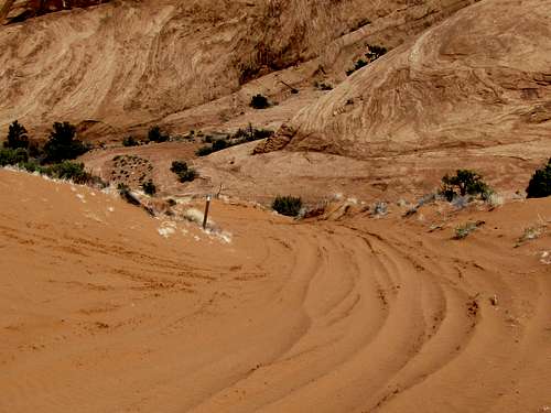
Sand Hill Route Option:
Follow the trail at the bottom of the canyon.
 |
 |

Go up this steep sandy hill to reach the slickrock dome route.
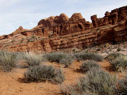
 Sand Hill
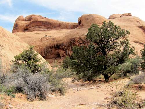
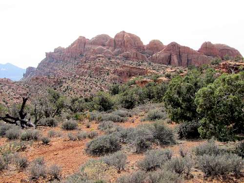
After a short hike, the road splits again. Right goes to Petro pass to reach Hidden Valley Trail. Left goes to Moab Viewpoint.
Trail to Petro Pass/Hidden Valley Trail:
Take the right branch and hike up the road.
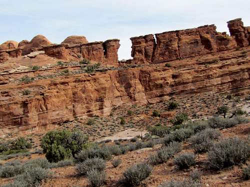
 Petro Pass at the base of the cliffs
A canyon forms on the left.
You will soon see a sign on the right side of the road pointing to the trail to Hidden Valley. Leave the road and start hiking the trail (the road will soon come to an end anyway). The trail takes you 50 vertical feet down a slope, crosses a dry wash and then begins to go uphill toward Petro Pass.
 |
 |
You will then reach Petro Pass. Hidden Valley and La Sal Mountains come to view. If you want to continue down into Hidden valley, see above link for Hidden Valley Trail.
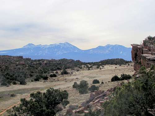 Hidden Valley & La Sal Mountains Hidden Valley & La Sal Mountains |
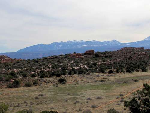 Hidden Valley & La Sal Mountains Hidden Valley & La Sal Mountains |
 Looking west from Petro Pass
Trail to Moab Viewpoint:
At the above split, take the left branch and hike up the road.
 |
 |
 |
 |
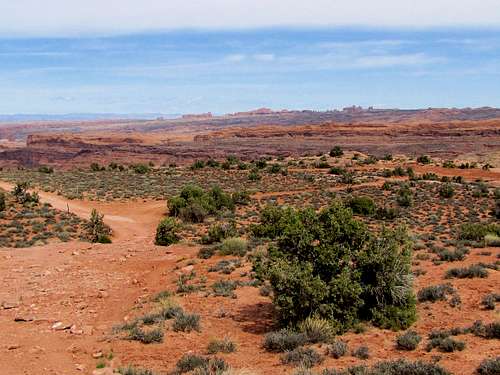
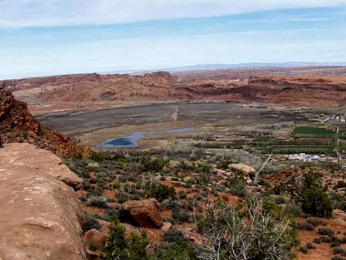
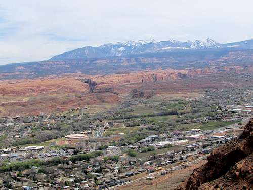
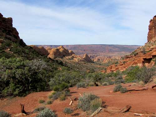
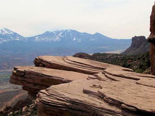
You will soon reach the edge of the cliffs. Moab and La Sal Mountains will be visible.
 South Mountain South Mountain |
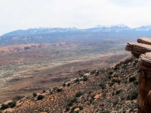 Moab & La Sal Mountains Moab & La Sal Mountains |
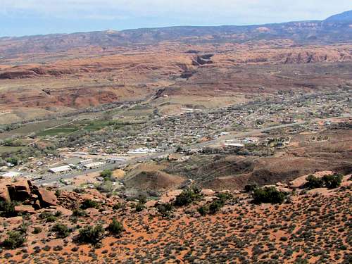 Moab & Mill Creek Canyon Moab & Mill Creek Canyon |
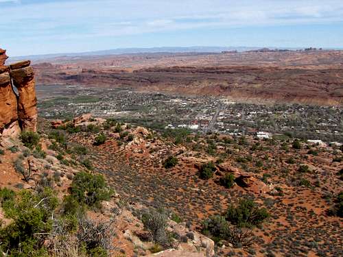 Downtown Moab Downtown Moab |
Essential Gear/Red Tape
Hiking equipment.
No fees or permits.
External Links
Book: Hiking from here to Wow, Utah Canyon Country by Kathy & Craig Copeland
Map: Latitude 40 Maps, Classic Moab Trails