|
|
Route |
|---|---|
|
|
56.87429°N / 4.30454°W |
|
|
Hiking, Mountaineering |
|
|
Spring, Summer, Fall |
|
|
A long day |
|
|
Overview
The pastime of climbing the Scottish “Munros” (named after Sir Hugh Munro), that is climbing the Scottish mountains over 3000 ft high, is a peculiarly British eccentricity.
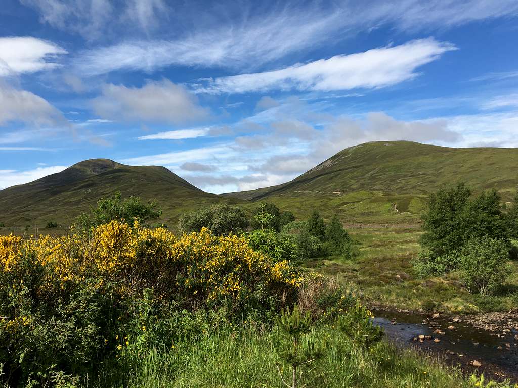
There are many Munros in this region of Scotland but these four mountains to the west of the A9 are usually categorized together.
These mountains being Geal-charn, A’Mharconaich, Beinn Udlamain and Sgairneach Mhor. The mountains can all be climbed singularly but more often, are climbed in combinations of two, three or all four together, weather permitting. On a clear day, the views in all directions are often spectacular. Having said that, this is a high pass and it often attracts poor weather. It is usual for this weather to be blowing in from the west coast and consequently, may not be visible from the road. This should be borne in mind when planning any undertaking.
There are several descent routes from each mountain should the need arise. See the map and route descriptions on each individual mountain page.
These mountains are on the southwestern edge of the Cairngorms National Park. However, they are not usually considered to be part of the Cairngorms mountain range.
Getting There
By road:
From either the south or north, the main A9 road links Glasgow with Inverness and runs via the Drumochter pass and past the foot of the mountain.
From Glasgow, head north on the M80, then M9 to Stirling and on to Dunblane where this becomes the A9
From Edinburgh, head west on the M8, join the M9 and head northwest to Stirling and onwards to the A9.
From Inverness, head south on the A9.
It’s possible to start the route from a free car park at the Balsporran cottages on the west side of the A9. Otherwise, there are numbered laybys on the A9 where parking is allowed. Layby no 81 is especially large.
By rail:
There is a railway station in the small town of Dalwhinnie, just to the north of the Drumochter pass. Most trains will either start or pass through Edinburgh and Glasgow from the south and Inverness from the north. These are relatively infrequent and the local timetable should be referred to.
Route Description
For a traverse of these four Munros it is possible to start from the car park at the Balsporran cottages on the west side of the A9 or from Layby no 81 further south along the road. In either case, the route will involve some walking along the cycle track separate from the A9 road.
Starting points:
Balsporran cottages car park (free). – Map reference 627792
Layby no. 81 (free) – Map reference 631761
Red Route
Leave the car park at the Balsporran cottages and cross the bridge over the River Truim heading towards the cottages. Pass in front of them and cross the railway line on the level crossing.
Continue ahead on the track running parallel to the Allt Coire Fhar and cross a tributary. Ignore a track to the right and continue to cross a small bridge. Soon after this, take the track heading uphill to your right.
Follow the track up the wide ridge, it gradually becomes a path and starts to fade in the boggy ground. Continue in a southwest direction towards a large cairn with a drystone wall nearby.
(A number of sources say there are several cairns but I only saw one.) This is not the summit. Head further southwest towards a cairn visible on the grassy hill, the actual summit is a little further on after this at a rather sprawling cairn amongst a field of rocks.
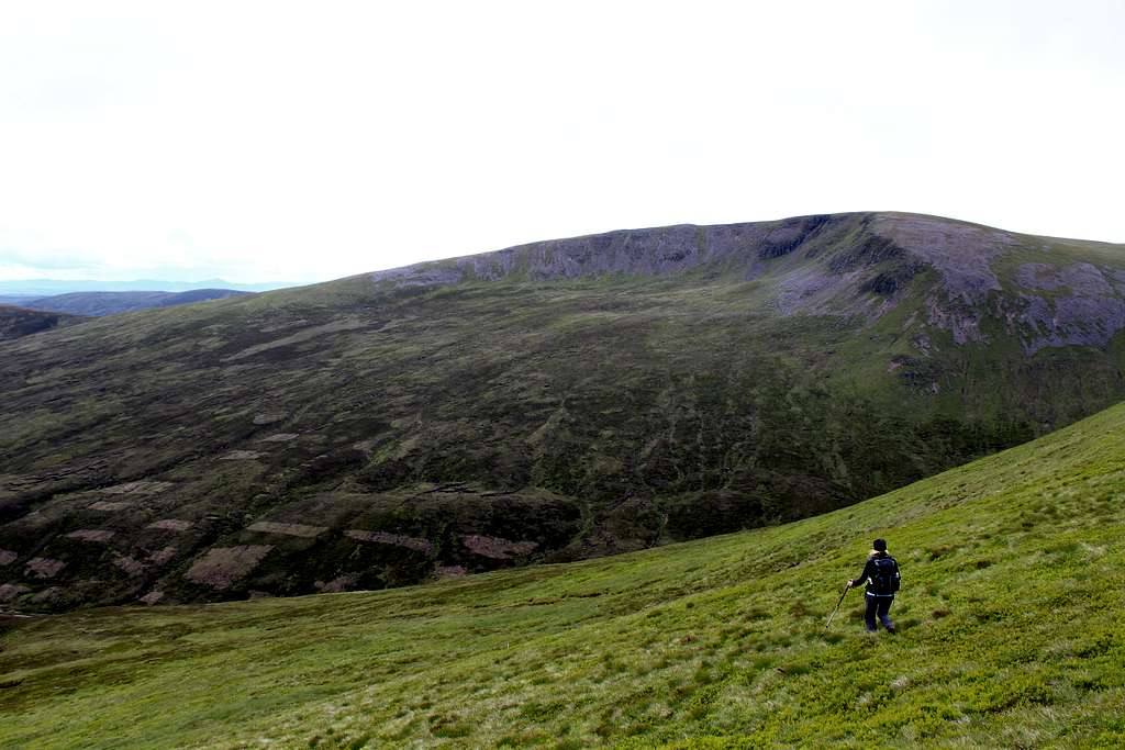
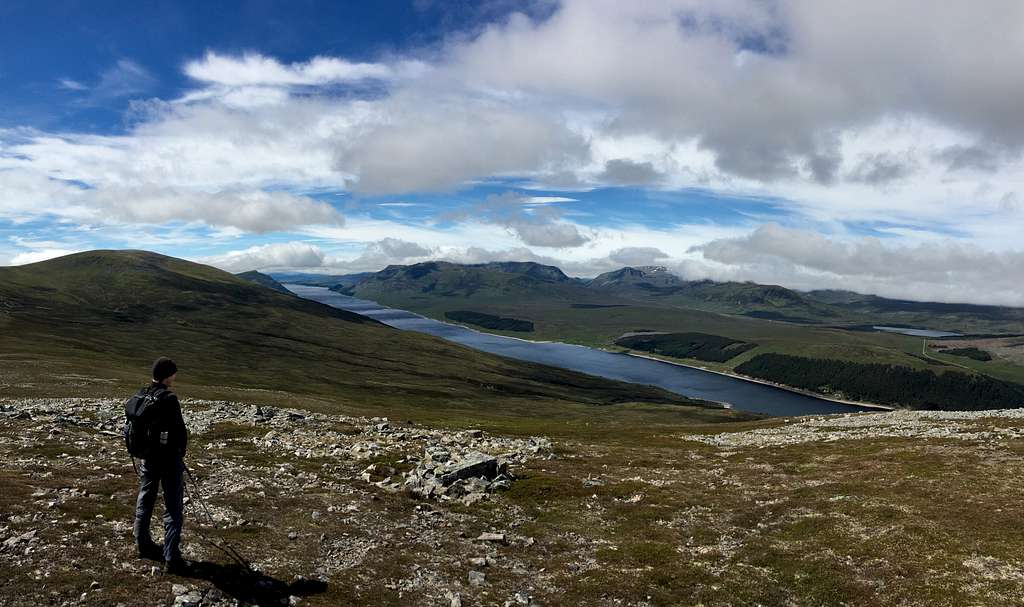
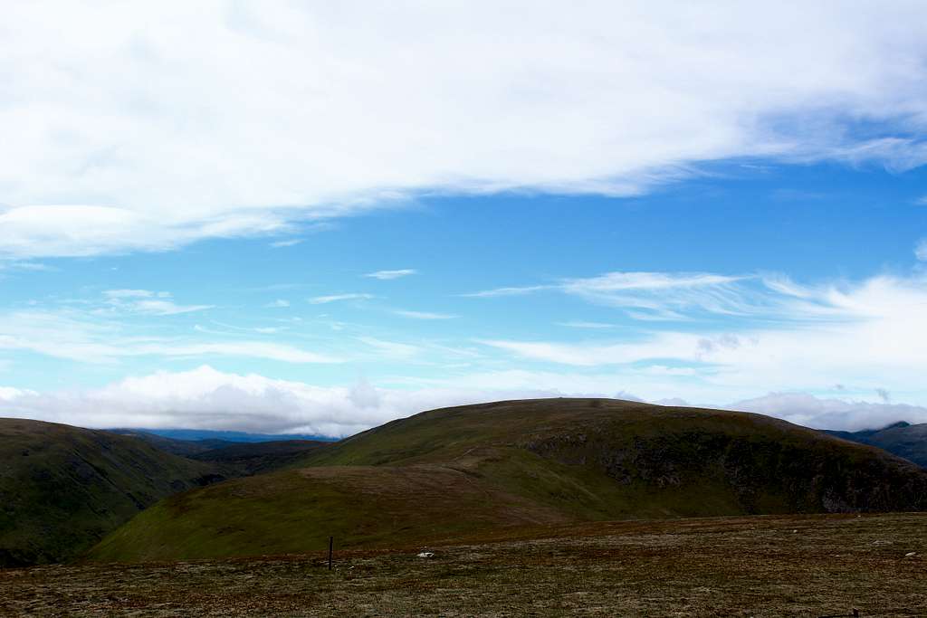
At the summit of Geal-charn (917m) If it’s clear, you will start to see fantastic views of Loch Ericht further west and the Ben Alder wilderness beyond this.
From the summit, head southwest on a broad ridge that turns gradually further southwards. Descend towards the bealach at 739m on the map, where a track rises from Coire Fhar, the valley on your left (east).
From the bealach at 739m, follow the track for a short distance then head east up the steep grassy slope of A’Mharconaich.
When the broad summit ridge is reached, turn left to the northeast. The ridge appears to be quite flat but rises to a cairn at the northeast end. This is the summit of A’Mharconaich (975m).
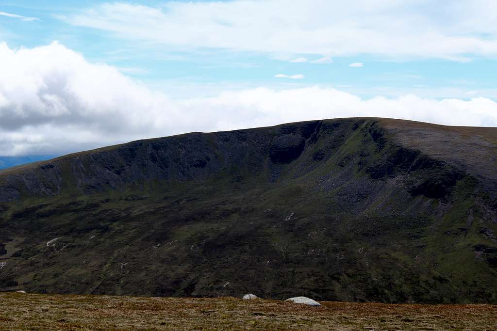
Beyond this, the ridge ends where it drops into a high coire with views to the north.
Turn around and retrace your steps southwest along the summit ridge of A’Mharconaich. The grassy ridge drops to the southwest on a feint path. Follow this down to cross a low point at 861m on the map, then head south to ascend the slope to the top at 902m.
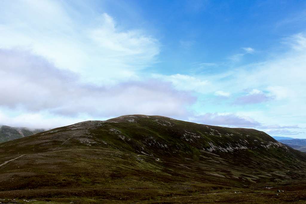
From here, head in a more westerly direction down to 892m, then up to a cairn near a fence. Follow the line of fence posts southwest across rocky ground to a large cairn at the summit of Beinn Udlamain (1011m).
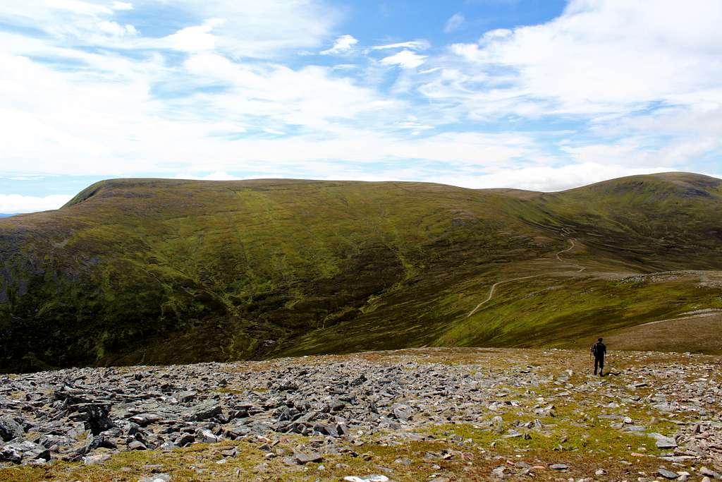
This is the highest point of the day. Continue south on a path down the broad south ridge of Beinn Udlamain until the ridge flattens at a place called Carn ‘lc Loumhaidh on the map.
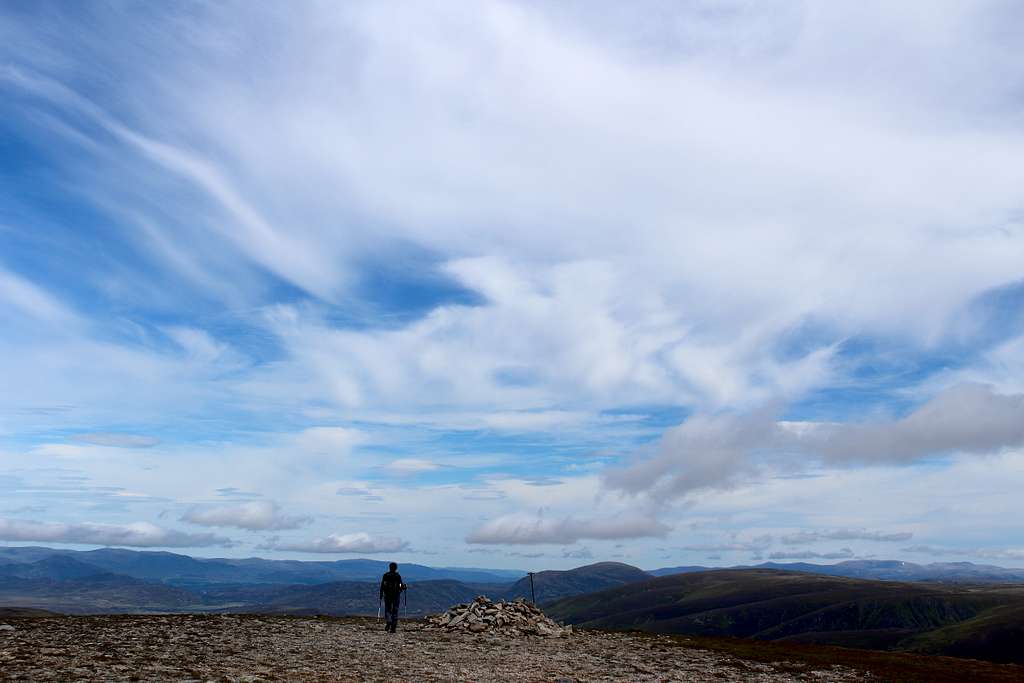
Turn left here (to the east) to avoid the boggy ground as best as possible. Continue uphill to a grassy knoll then turn south on a broad ridge. As the ridge rises up to your right (east) follow the ridge to the summit of Sgairneach Mhor (991m).
This whole part is much easier to follow than it sounds and for most of the way there is a feint path, take care in bad visibility.
Descend northeast down the ridge of Coire Creagach towards the bealach below pt 758m. Here, the path contours around this top to the north on a path descending above the stream that separates your position from the “Sow of Atholl” (Meall an Dobharchain).
Descend northwards to the ATV track that crosses the Allt Choire Dhomhain. Turn right (east) down the track back towards the A9.
There is an underpass to navigate the railway line, then head northwards on the cycle track separate from the A9, to Layby 81 or further on to the Balsporran cottages.
Essential Gear
Walking gear for rough ground and possible bad weather.
Equipment (Map, compass, GPS device etc) and ability to navigate rough and sometimes pathless mountain terrain.
There are no signposts on this route.
Red tape
Scotland has an Outdoor Access code, see link:
https://www.outdooraccess-scotland.scot/practical-guide-all
The area is popular for Deer stalking and Grouse shooting. These activities may impact on any plans for hiking. However, it is still possible to hike during these events with a little extra effort at the planning stage.
This is a useful page on the Outdoor access – Scotland website
https://www.outdooraccess-scotland.scot/practical-guide-all/heading-scottish-hills
When to climb
Spring, Summer or Autumn (Fall) depending on conditions.
Warning: The above descriptions are for use in reasonable summer conditions. Winter conditions can occur at almost any time of the year. In winter condition, these mountains are a much more serious proposition. Any paths may be covered by snow and ice and gale force winds are common. Ice axe, Crampons, the knowledge of how to use them allied with excellent map reading and compass skills are essential.
External Links
Walk highlands - https://www.walkhighlands.co.uk/
SMC - https://www.smc.org.uk/
Cairngorms National Park - https://cairngorms.co.uk/
The Central Highlands – Peter Hodgkiss (SMC District guide)
The Munros – (SMC Hillwalkers guidebook)
The High Mountains of Britain and Ireland – I. Butterfield
Birds of Britain and Europe – Nicolai/Singer/Wothe
Ordnance survey map OL50 – Ben Alder, Loch Ericht and Loch Laggan