-
 2473 Hits
-
 71.06% Score
-
 1 Votes
|
|
Mountain/Rock |
|---|---|
|
|
37.82963°N / 109.54186°W |
|
|
San Juan |
|
|
Hiking |
|
|
Spring, Summer, Fall |
|
|
11014 ft / 3357 m |
|
|
Overview
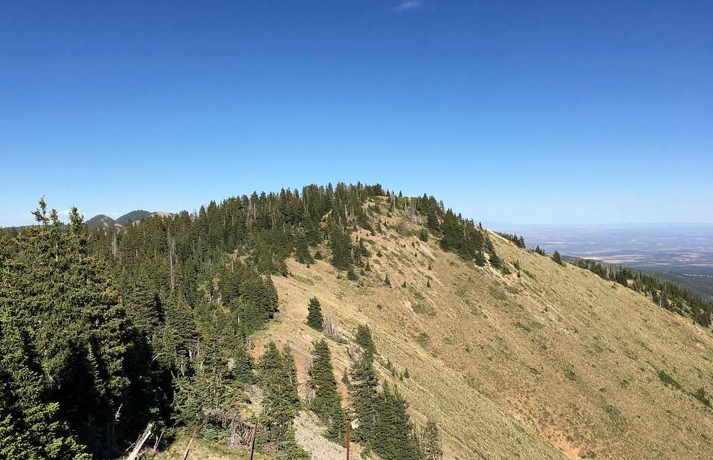
West Mountain of the Abajo Mountains is composed of 3 peaks separated by 150-foot saddles. Each peak has high shoulders that have names instead of the higher points, which is odd. The highest point is the eastern peak at 11,014 feet. The north peak is 11,010 feet and the western peak is 10,998 feet. Technically, Bears Ears National Monument extends to the saddle between peak 10,998 and 11,014, which makes the western peak the highest point in the national monument.

Getting There
From Monticello, take the paved Forest Road 105 six miles west to the Dalton Springs Campground. Drive about a half mile west of the campground to the start of the North Canyon Road 079 on the left side of the road. Continue on this road for 8.5 miles to Shay Ridge and take a right onto RF 0354, which is not well-maintained. Low-clearance vehicles should stop here. Otherwise, you can continue on the dirt road for 1.7 miles to the start of Forest ATV Trail 162 that is restricted to vehicles less than 50" wide.
Route
From the end of the 4WD road, travel up the ATV trail to the south shoulder, then meander up the ridge from there to the summit.
Round-trip Distance: 1.36 miles
Elevation Gain: 670 feet
It is possible to do a combined loop of all three sub-peaks starting with Peak 11014, then heading West to Peak 10998, then North to Peak 11010 before taking ATV trail 162 back to the trailhead.
Round-trip Distance: 2.5 miles
Elevation Gain: 900 feet
Red Tape
No permits or fees needed. Please practice "Leave No Trace" ethics.
When to Climb
Possible year-round but winter ascents will require a good deal of commitment and backcountry travel expertise.
Camping
Many primitive sites dot the mountain range but Nizhoni Campground on the south side of the mountains is the closest developed area for camping.

