
-
 4478 Hits
-
 71.06% Score
-
 1 Votes
|
|
Route |
|---|---|
|
|
46.73860°N / 12.67920°E |
|
|
Scramble |
|
|
Half a day |
|
|
Walk-Up |
|
|
Approach
Obertillach in Lesachtal Valley can be reached by B111. See the "Getting There" Section on the main page.
Route Description
- Start altitude: 1426mm
- Summit altitude: 2591m
- Prevailing exposition: S
- Type: 2h over forest roads, 30min over paths, 1h summit scramble
- Protection: marked but without security
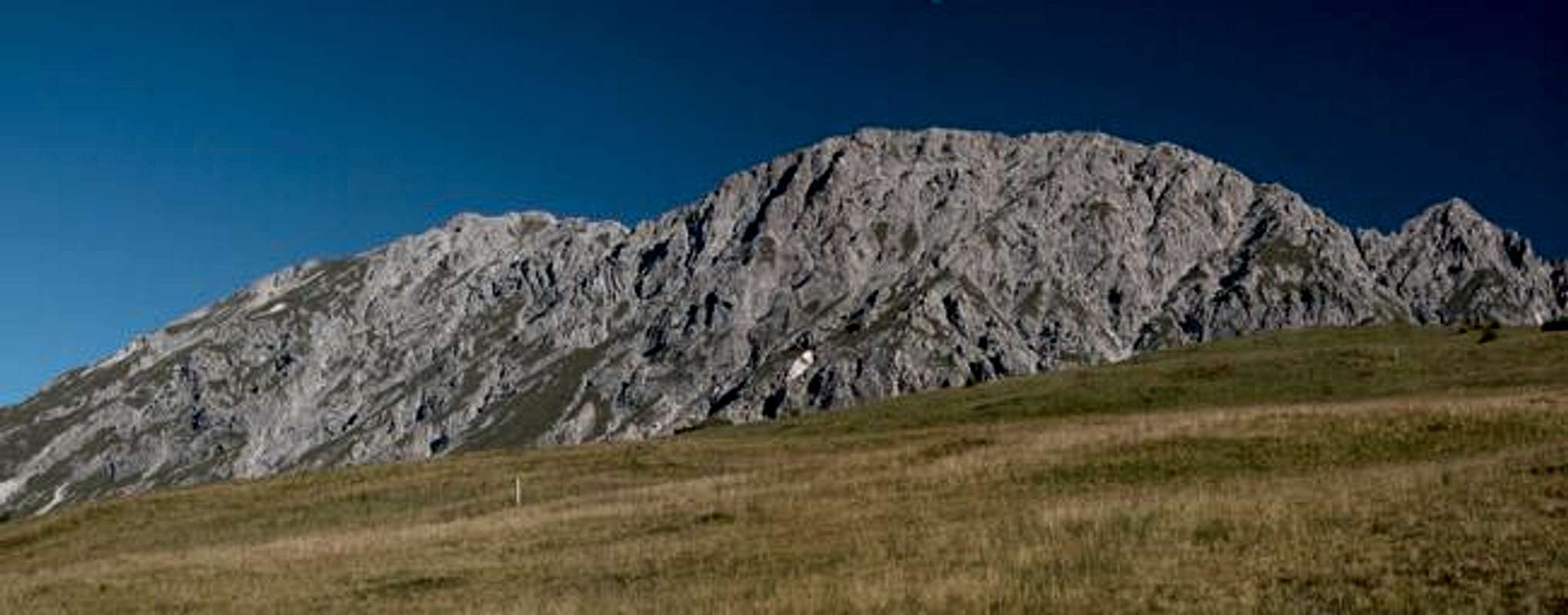
From Obertillach follow trail 43B to the hamlet Rals. There turn north on the road to the Ochsengarten Alm. You reach the Alm after 1h 30min. Here the road turns east and climbs in the direction of the Gumpedall Joch. After another half hour the roads bends sharply to the right and here the footpath starts which will lead you to the pass.
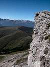
Another 300m of elevation gain and you can enjoy the views across the meadows south of Eggenkofel. The trail goes on in the direction of Halsl but is disrupted by steep gullies which have been created by rockfall from Eggenkofel. Therefore - and to reach the western summmit - turn north onto the trail, marked 41, 42. After 100m trail 42 turns west but we f ollow 41 directly into the south face of Eggenkofel. The trail always stays in a couloir, which is much broader than the one on the main summit route. The footing, however is as unsure. Near the western summit the ascent levels and for the final steps turn east. The connecting trail to the main summit runs east and follows the summit ridge on its southern side.
 |  |
Essential Gear
Normal hiking gear is sufficient.