Ascent of Pico de la Maladeta - Alt. 3308m.
![Dawn at Renclusa]() Dawn at the Refugio Renclusa
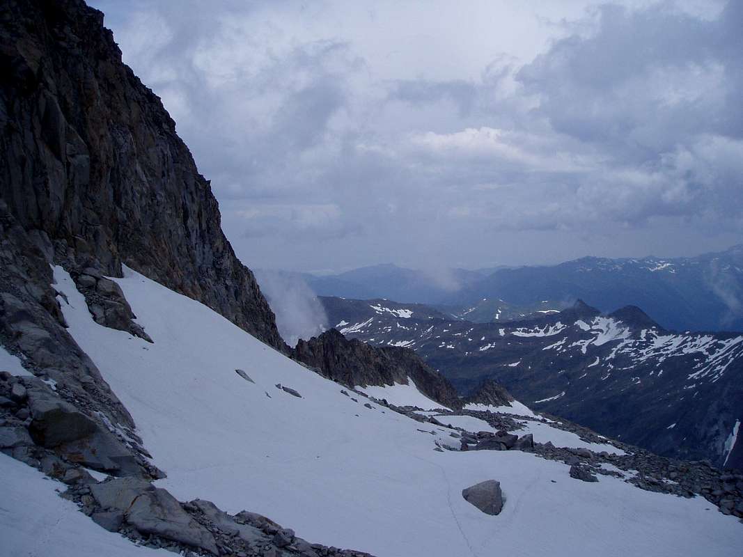
Dawn at the Refugio Renclusa![Above the Portillon on the Aneto glacier]() Above the Portillon
Above the Portillon
After an exciting week that included two attempts at ascending Aneto, and a border crossing from the Plan d'Estan to the French refuge of Venasque we just about had enough puff left for a final ascent before we had to get back to Barcelona and the end of our holiday.
So Ken and I chose the Maladeta, partly because we thought we knew the way after two visits to the Portillon Superior and partly because it seemed to offer a reasonably short day.
After another alpine start, we arrived at the Renclusa refugio at 5:00 am following a walk up from the Besurta and witnessed the heartwarming sight of clear skies at dawn.
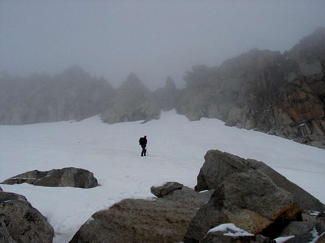
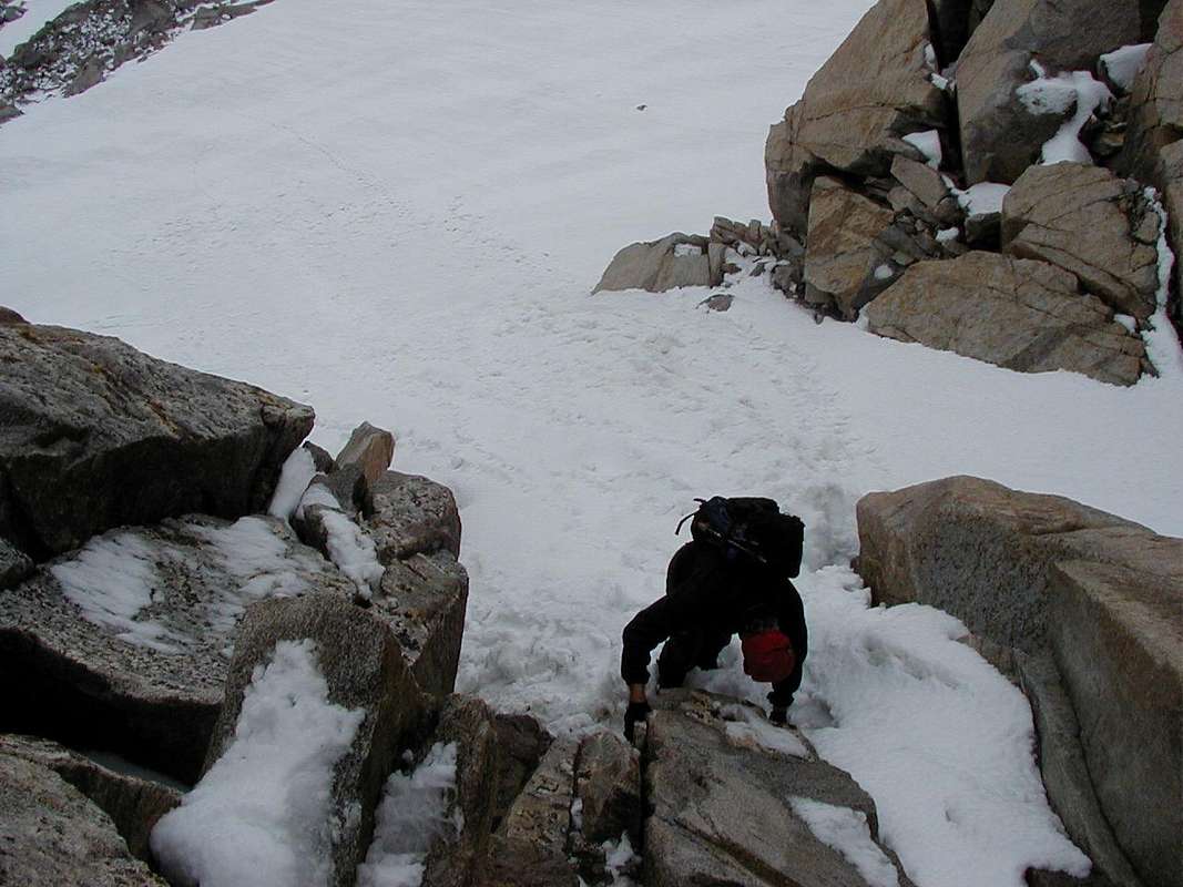
![Approaching the Pico de la Maladeta]() Passing the Cresta
Passing the Cresta![Cresta de las Portillones]() Ken reaches the snow dome
Ken reaches the snow dome
I don't describe the lower part of the climb here because I already did that in my
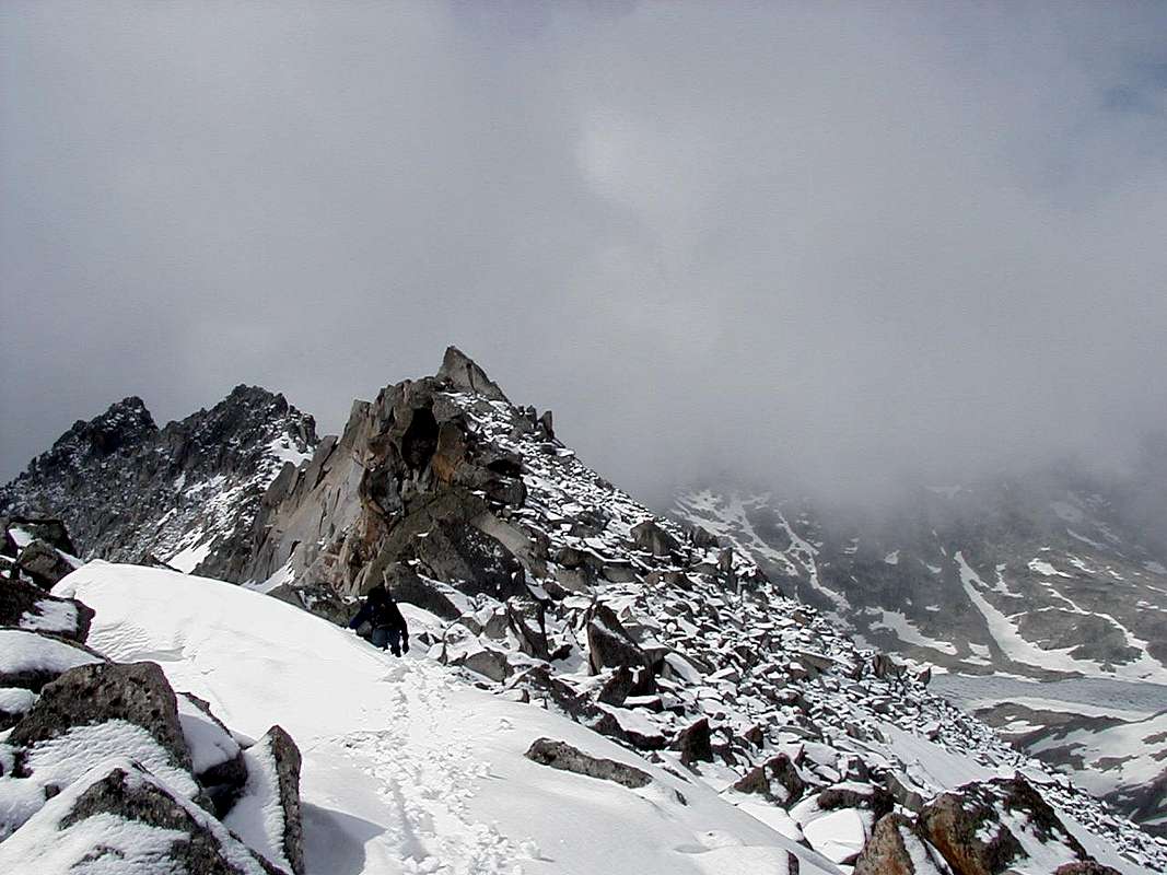
Trip Report of Aneto and the route follows the same ground until the crossing of the Portillon Superior, after that, the route ascends along below the edge of the Cresta de las Portillones which the Pico de la Maladeta caps at its uppermost point.
Climbing and routefinding was straightforward from the portillon and we soon arrived at a dome in the snowfield below the wall that lead to the ridge between the Pico de la Maladeta and it near neighbour Pico Abadias.
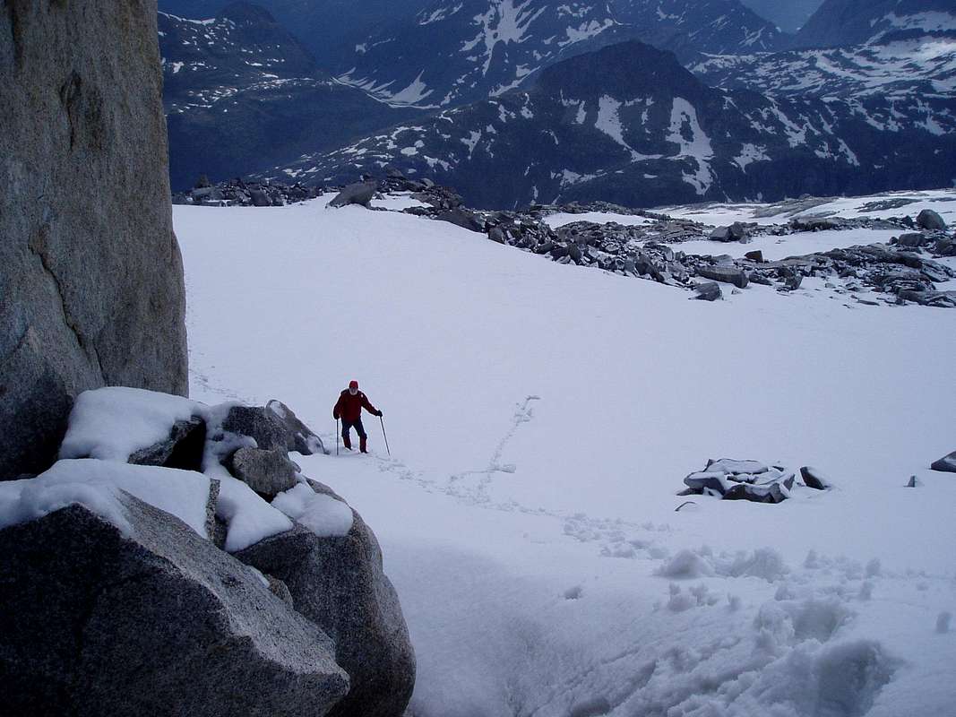
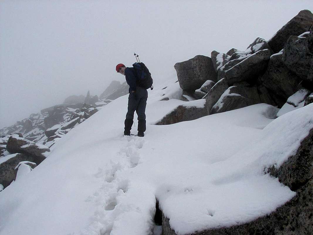
![Below the access to Maladeta]() Johnnie is lagging behind as usual
Johnnie is lagging behind as usual![Below the summit ridge of Pico de la Maladeta]() The wall below the summit
The wall below the summit
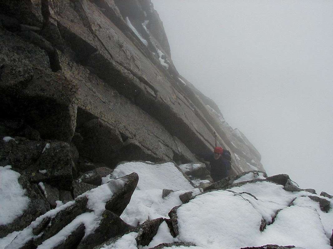
The cloud level was down as we arived below the impressive cracked wall, so we couldn't see the general layout too clearly but an obvious series of broken blocks seemed to offer an opportunity to make it up to the ridge.
The overhangs at the top of the wall looked impressive but we thought we could bypass these on the left.
I guess that the climbing was something like V.Diff as an English rock climbing grade but it felt a bit more exciting than that to Ken and I as some of the blocks were loose and wet snow covered holds here and there.
![Ken exits the wall]() Ken reaches the top of the wall
Ken reaches the top of the wall![Towards the summit]() Ken approaches the summit
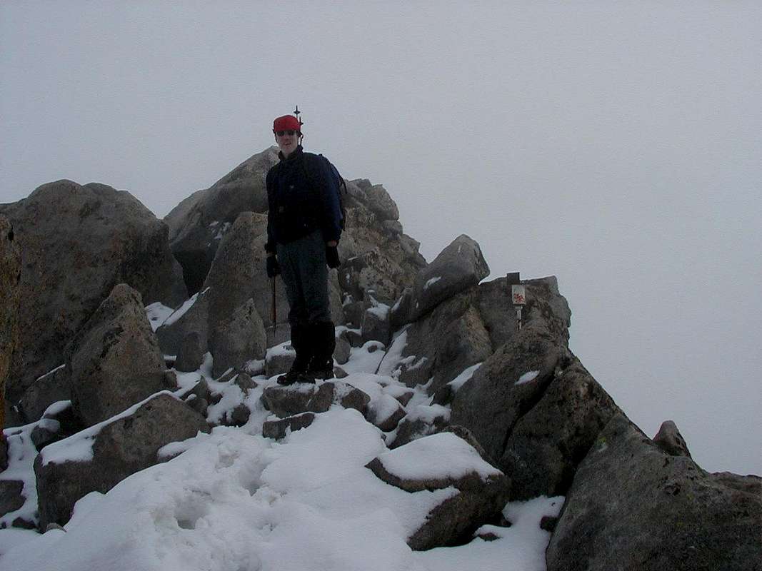
Ken approaches the summit![Summit of Pico de la Maladeta]() Ken finds the summit marker
Ken finds the summit marker
A wispy nylon 'string' hanging halfway down the wall indicated the presense of a previous visitor although we imagined the line too thin for any abseil.
A surge of the usual adrenaline arrived and we soon pulled over the top of the wall into a field of snow covered boulders with air on the far side of them. As these rose in a series of steps to the right where we imagined the summit must lie, we set off and soon found a marker which we assumed must indicate the top of the Pico.
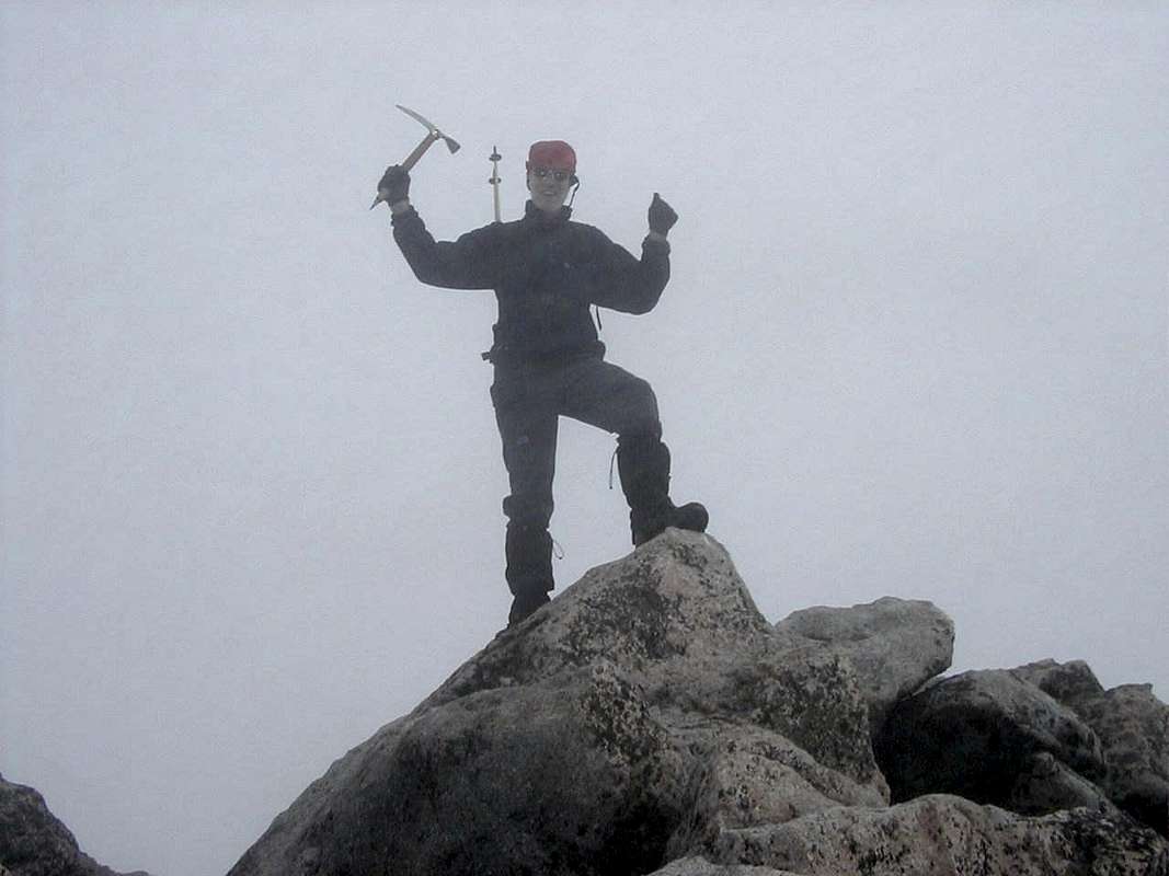
![Ken reaches the Pico de la Maladeta]() Yippee! we made it
Yippee! we made it
As visibility was too poor to take bearings on any nearby tops and we still didn't have an altimeter we had to assume that as we couldn't go any higher we had made it.
![The descent route]() Ken looks for the descent point
Ken looks for the descent point
We shared a few moments exhultation, had a glimpse of the Ibons de Coronas through an all to brief cloud break then headed back to find our ascent route again in case the weather would worsen.
![Portillon Superior]() At the Portillon Superior
At the Portillon Superior
Finding the way down was no problem, as ours were the only footprints in the snow and we were soon back onto the glacier below after a few more exciting moves down the wall.
![Back on the glacier]() Ken reaches the bottom of the wall
Ken reaches the bottom of the wall
Before long we were back at the Portillon Superior which by now after our 5th visit seemed like home.
Fortifying ourselves with food and drink we had our lunch there before the long descent over sometimes soft snow back down to the Refugio Renclusa and down the trail to the car, our weeks climbing over.
Summary
This ascent is probably the shortest for one of the 3000 metre tops on the Macio de la Maladeta from the Renclusa refugio, we took about 7 hours for the round trip, but being pensioners we were not that fast so you young fit guys should be able to trim that down considerably.
We calculated that we had asended a total height of 27,000 feet during our weeks stay in Benasque, so we felt justified spending our last night sampling the delights of the Tapas bars in Sitges before we had to catch our flight back to Liverpool and home.
Fotos: Ken and Dr Johnnie
Map: Editorial Alpina - 1:25,000 , Maladeta - Aneto
Guide: Kev Reynolds - Cicerone Press - Walks & Climbs in the Pyrenees
Comments
No comments posted yet.