
Comments
No comments posted yet.
|
|
Trip Report |
|---|---|
|
|
38.99503°N / 108.61241°W |
|
|
Jan 1, 2024 |
This is just a simple log to keep track of our 2024 trips.
See the 2023 Trip Log for 2023
See the 2022 Trip Log for 2022
See the 2021 Trip Log for 2021
See the 2020 Trip Log for 2020
See the 2019 Trip Log for 2019
See the 2018 Trip Log for 2018
See the 2017 Trip Log for 2017.
See the 2016 Trip Log for 2016.
See the 2015 Trip Log for 2015.
See the 2014 Trip Log for 2014.
See the 2013 Trip Log for 2013.
See the 2012 Trip Log for 2012.
See the 2011 Trip Log for 2011.
See the 2010 Trip Log for 2010.
See the 2009 Trip Log for 2009.
See the 2008 Trip Log for 2008.
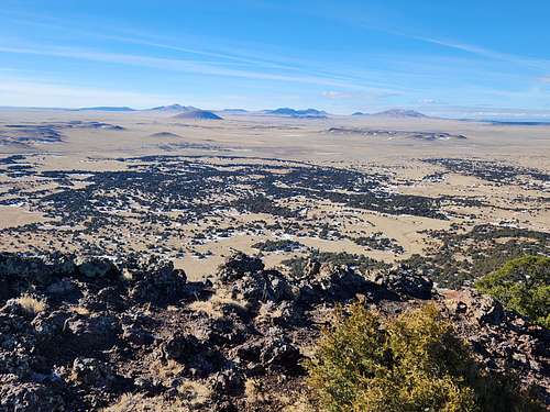
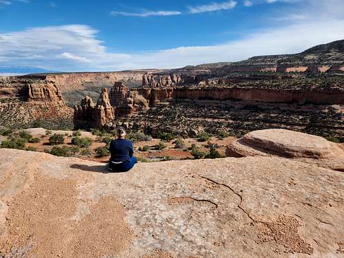
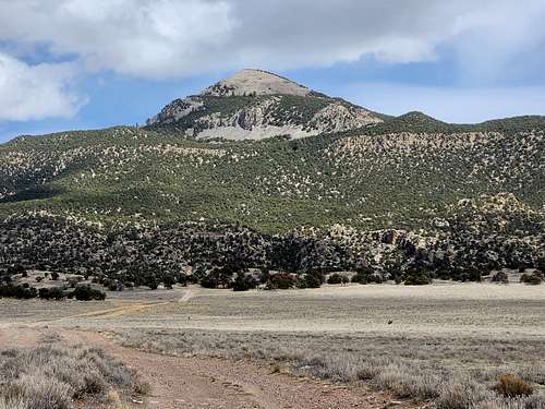
April 25: Boyd Mountain (Colorado)
April 24: Peak 7091 (Colorado)
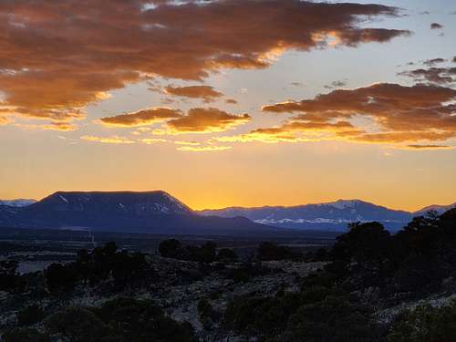
April 23: Simpson's Rest (Colorado)
After work I climbed hiked up Simpsons Rest above Trinidad. There's a road up there, but I walked from town. It was a nice sunset.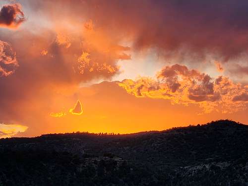
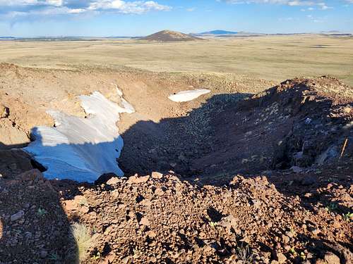
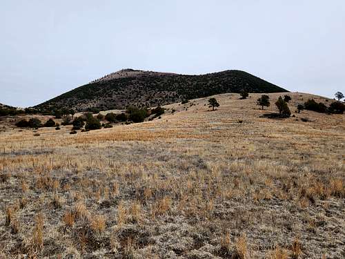
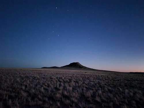
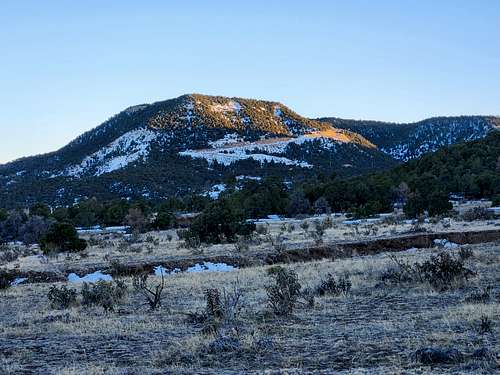
April 22: Dale Mountain (New Mexico)
After work I climbed Dale Mountain, a cinder cone. The snow is mostly gone except for in the small crater.
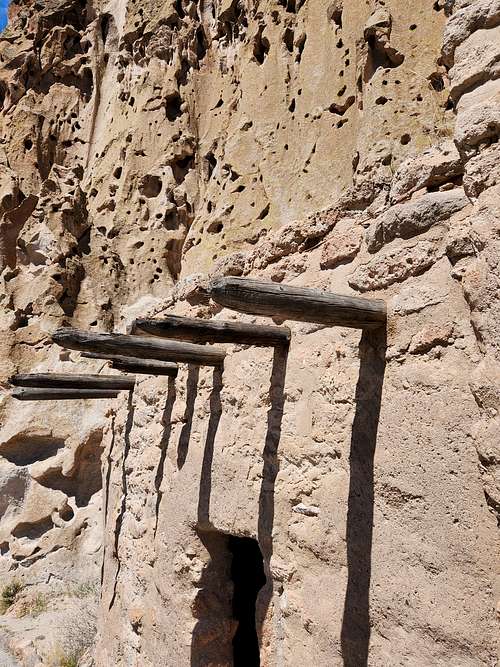
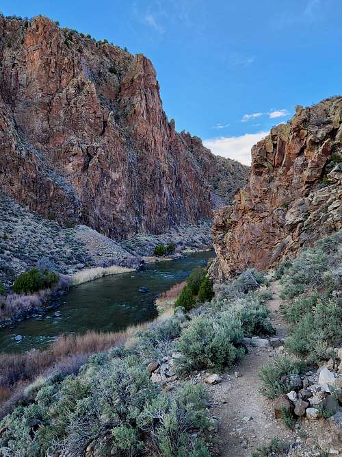
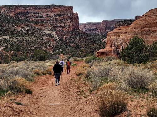
April 21: Frijoles Canyon (New Mexico)
I hiked up to the Alcove House and up Frijoles Canyon to Upper Crossing in Bandelier National Monument. There weren't as many ruins as yesterday's hike, but it was a beautiful walk. A lot of rambunctious squirrels provided some bonus entertainment.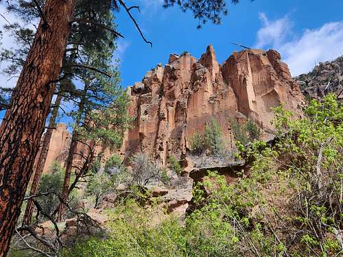
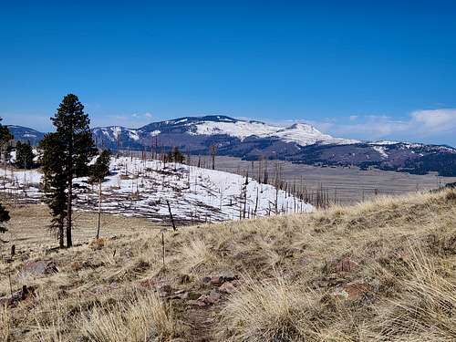
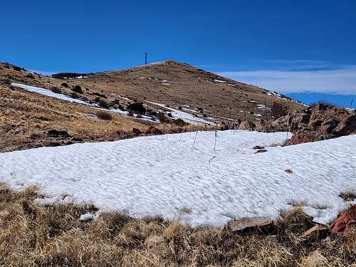
April 20: Cerro Grande/Pueblo Loop Trail (New Mexico)
April 19: Chiflo Trail (New Mexico)
After work I hiked the Chiflo Trail at the Rio Grand. The lighting wasn't the best for photos.
April 18: Dale Mountain (New Mexico)
After work I climbed Dale Mountain. It was a bit cloudy and chilly at times, but the first of the spring wildflowers are out.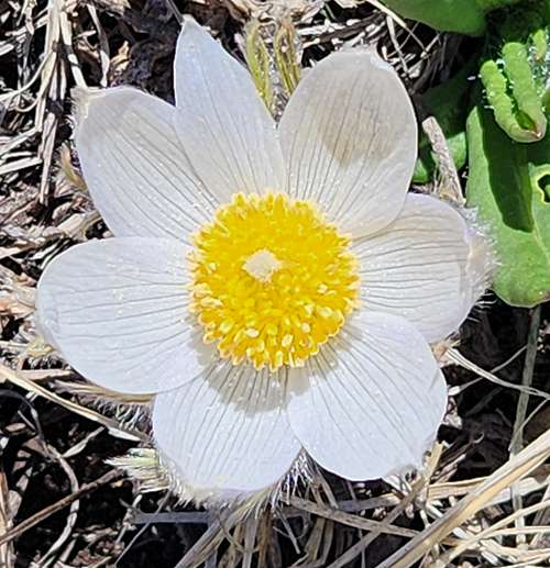
April 17: Peak 7091 (Colorado)
After work I climbed Peak 7091 on a really nice evening.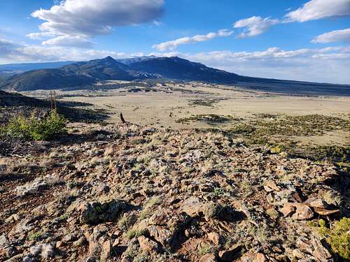
April 16: Levasa Canyon/Reilly Canyon Trails (Colorado)
April 15: South Monarch Ridge (Colorado)
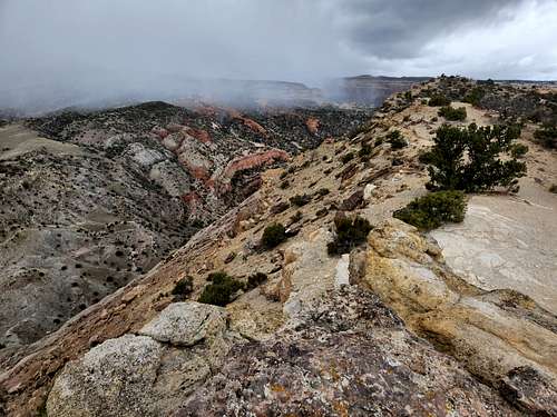
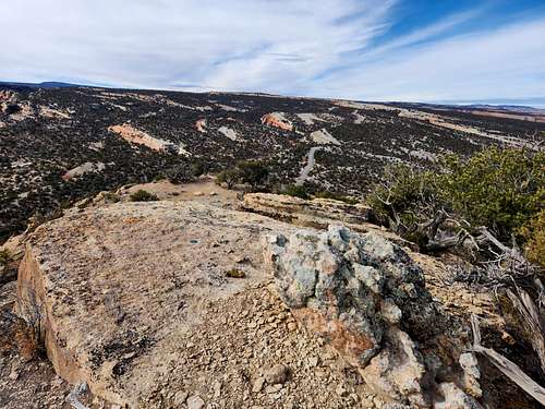
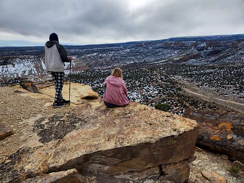
On my way to my project at Aguilar (CO) I stopped at Monarch Pass to climb the South Monarch Ridge. It was super windy and much colder than it has been lately. It started to snow hard on the descent as well.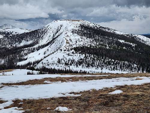
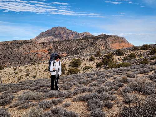
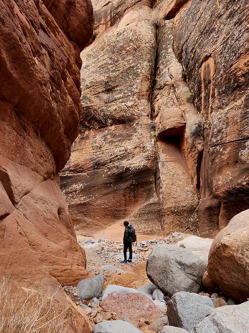
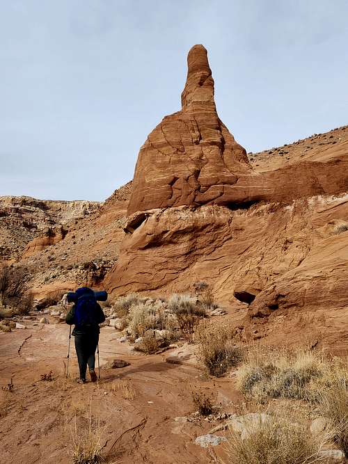
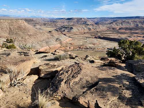
May 13-14: Larry Canyon (Utah)
May 13
Kim and I explored Middle and Lower Larry Canyon in Robbers Roost.
On Day 1 we started from Larry Point and found our way to the hidden route in that I found back in March 2000. It was more difficult than I remembered though so we retreated and hiked across the slickrock on the rim down canyon until we found a bighorn sheep trail in. This was a long route, but had much less exposure.
After reaching the bottom of the canyon we headed down and completed the lower technical section of Larry Canyon. It was wetter than expected and I should have brought dry bags since everything got wet.
We completed the three rappels and challenging section of the canyon (which was very beautiful) before finding a nice sandy campsite with some rocks to spread everything out in. There was a nice spring nearby too and it was a great campsite. Everything was almost dry by the time we went to bed.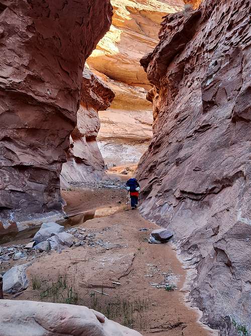
May 14
In the morning we packed up camp and headed down Larry Canyon (which is quite pretty) to near the Dirty Devil River and to the exit canyon. An impressive cattle trail (100 or so years old?) reaches the rim here, but it looks improbable from below. We then found our way back to the vehicle in six hours. The only major challenge was the routefinding.
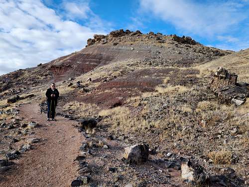
May 12: Black Mountain [Huerfano County] (Colorado)
After work I and on my way home from my project I stopped to climb Black Mountain in Huerfano County. It was a longer hike than expected since the road is still snowed in. My boots fell apart on the descent, but it was a nice mountain with good views.
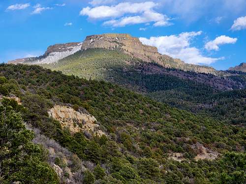
April 11: Fishers Peak Trails (Colorado)
After work I hiked at Fishers Peak State Park and made a loop of the Lower Lone Cub, Upper Lone Cub, and Fishers Peak Trail, getting back just after sunset. They were really nice trails in Colorado's newest state park.
April 10: Apishapa Canyon (Colorado)
After work I headed for Apishapa Canyon. I didn't bring a good map so hiked Apishapa Canyon between Buckletton Canyon to Orr Canyon, which was partially outside the SWA and was not my intended destination. I didn't figure out where I hiked until after the fact.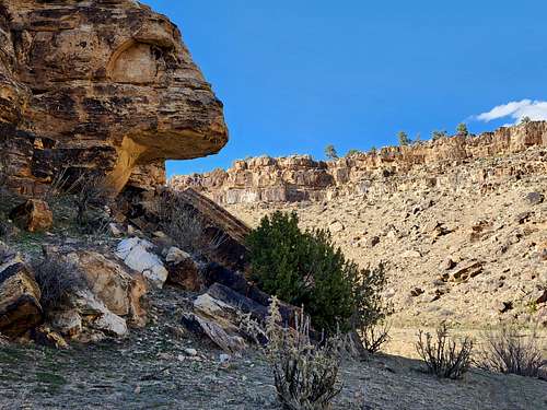
April 9: Capulin Volcano/La Boca Trail (New Mexico)
I got up early and climbed Capulin Volcano and hiked La Boca Trail before work.
April 8: Aguilar SWA (Colorado)
It was a rough day at work and I didn't have the energy for something overly spectacular. I just hiked in the Aguilar SWA for an hour. The scenery is sort of boring, but it was a nice break.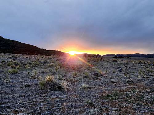
April 7: Horse Mountain (Colorado)
Kim and I climbed Horse Mountain near Palisade via the south side.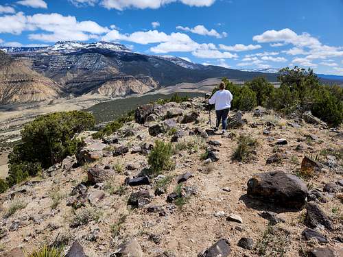
April 6: Devils Canyon Loops (Colorado)
Kessler, Shaylee, Kim and I hiked some loops at Devils Canyon. It was windy and snowed a little, but it was a nice hike.
April 5: South Monarch Ridge (Colorado)
On the way back from my project I stopped to climb South Monarch Ridge (Peak 11,912' elevation). It's super windy and I'm on the summit now. Even though I've been averaging 70 hour work weeks I haven't missed a day of hiking and climbing yet.
April 4: Dale Mountain (New Mexico)
After work I climbed Dale Mountain before sunset. It was much easier than my February 22 ascent.
April 3: Peak 7091 (Colorado)
After work I climbed Peak 7091. I tried to make it by sunset but didn't and am on the summit now. Unfortunately I have to go back to work after I get down, making a 17 hour work day.
April 2: Cuerno Verde Trail (Colorado)
After work I hiked the Cuerno Verde Trail. Yesterday's snow has already melted.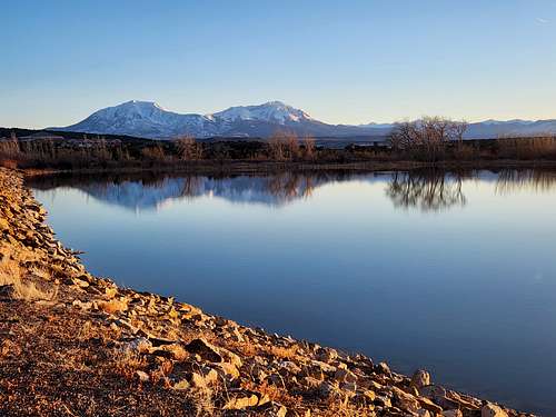
April 1: Cuerno Verde (Colorado)
In the evening I hiked the Cuerno Verde Trail. It was snowing hard. With the wet snow blowing in my face it was surprisingly challenging for such a gentle hike.
March 31: Peak 5750/Eagles Nest Rock (Colorado)
In the evening we climbed Eagles Nest Rock and Peak 5750. The weather looked threatening, but it only rained on the short drive.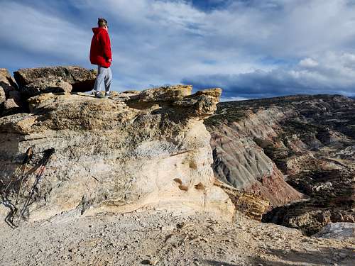
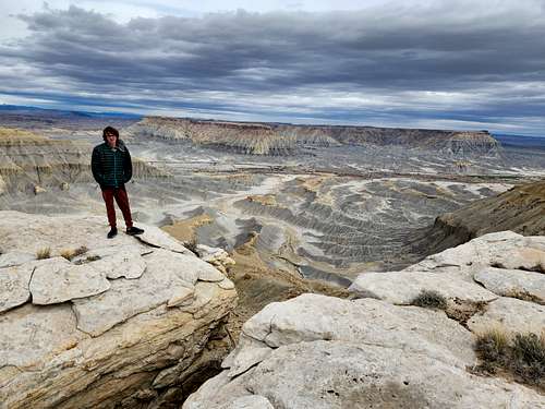
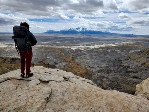
March 29-30: South Caineville Mesa (Utah)
March 29
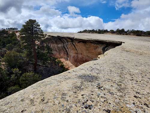
March 28: Saddlehorn/Window Rock (Colorado)
After work Kim and I climbed Saddlehorn and hiked to Window Rock.
March 27: RB-18/Tunnel Point (Colorado)
After work RB-18 BM (Peak) and Tunnel Point.
March 26: Peak 5750/Eagles Nest Rock (Colorado)
After work I climbed Eagles Nest Rock and Peak 5750. There was a little rain and snow, but it was a nice hike.
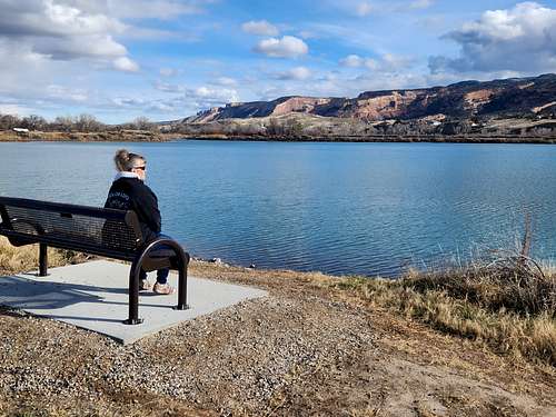
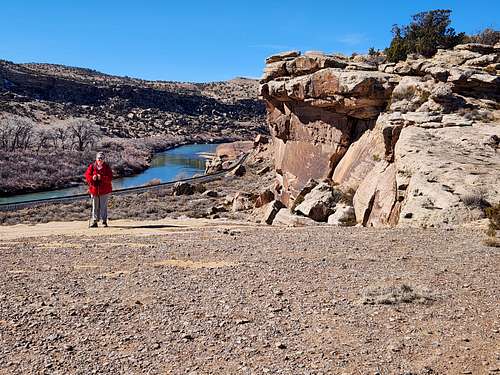
March 25: James Robb/Colorado River State Park (Colorado)
March 24: Canal Trail (Colorado)
In the evening Kim and I hiked the Canal Trail. It rained most of the day, but tapered off by evening.
March 23: Tenderfoot Hill (Colorado)
About 1/2 way back from driving from my work project to home Kim and I stopped in Salida to climb Tenderfoot Hill (a.k.a. Lookout Mountain). We took the Frontside Trail up and the backside trail down.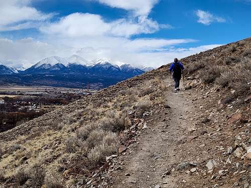
March 22: Cucharas Canyon/Wilson Crossing (Colorado)
After work Kim and I hiked to the bottom of the Cuchara Canyon near Walsenburg. An old trail goes down to the river here, but it was mostly abandoned years ago. We also checked out the abandoned homestead on the rim. It appears to have been a pretty fancy house for a homestead.
March 21: Cuerno Verde (Colorado)
After work Kim and I hiked the Cuerno Verde Trail near Walsenburg Colorado.
March 20: Capulin Volcano/Mud Hill (New Mexico)
After work Kim and I climbed Capulin Volcano, hiked into the crater, and climbed Mud Hill Volcano.
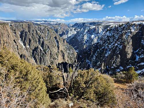
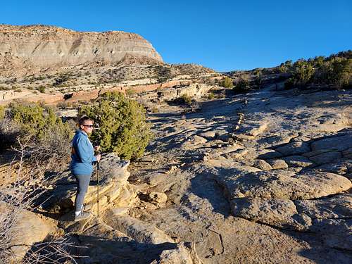
March 19: Rim Rock Trail (Colorado)
After work and on my way to my work project Kim and I stopped at Black Canyon to hike the Rim Rock Trail.
March 18: Echo Canyon Trail (Colorado)
After work Kim and I hiked the Echo Canyon Trail.
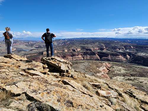
March 19: Rabbits Ear Mesa (Colorado)
Kim, Justin, and I hiked Rabbit's Ear Mesa making the loop hike.
March 16: Ribbon Trail (Colorado)
Justin, Kim, and I hiked the Ribbon Trail. We were going to start in the morning, but decided to go axe throwing first to wait for it to stop raining so we could get better views. We started in the early afternoon and completed the trail.
March 15: Peak 5167 (Colorado)
After work I climbed Peak 5167. It was a cloudy, but pretty nice day.
March 14: Peak 5750/Eagles Nest Rock (Colorado)
After work Kim and I hiked up Peak 5750 and Eagles Nest Rock. It rained on the hike down.
March 13: Dillon Pinnacles (Colorado)
My work project got shut down due to a snowstorm so I headed home and hiked the Dillon Pinnacles near Gunnison around sunset. It was very windy, a bit chilly, and rather gloomy, but it wasn't snowing.
March 12: Cuerno Verde (Colorado)
Nothing exciting, but after work I hiked the 3 mile Cuerno Verde Loop around Martin Lake. I got back well after dark and that's all I had time for.
March 11: Haystack 3 BM (Colorado)
I started early and climbed Haystack 3 BM before work.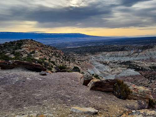
March 10: The Washout/Unaweep Canyon (Colorado)
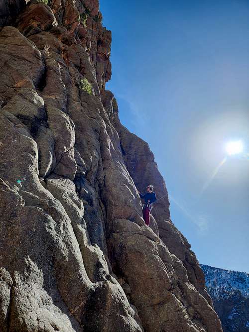
Kim, Kessler, Chad, and I hiked up to the Washout in Unaweep Canyon for some rock climbing. Kessler's knee was hurting so he only did one climb while the rest of us did 3 each. Chand and I climbed Menta, Caveman Tools, and Grasshoper; Kim climbed Caveman Tools, Grasshopper, and Exultant; and Kessler climbed Caveman Tools.
March 9: Serpents Trail/Colorado River Trail (Colorado)
Kim and I hiked 1/2 of the Serpents Trail. We only hiked half since we wanted to bike the Colorado River Trail, which we did after the Serpents Trail.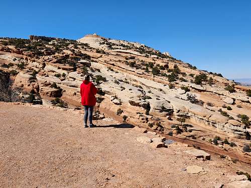
March 8: Peak 5611 (Colorado)
My work project was shut down due to a snowstorm so I got to.come home early. I climbed Peak 5611 in the edge of Debeque Canyon. It was a nice semi-challenging peak. There's supposed to be a Class 2+ route up there, but since I came across a class 4 route I didn't bother looking for it.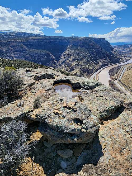
March 7: Dead Bird Trail (Colorado)
My work project was getting shut down for weather so I hiked 1 mile along the Dead Bird Trail near Salida on my way home. That's all I had time for and was the shortest hike I've done so far this year.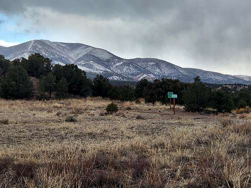
March 6: Cuerno Verde (Colorado)
After work I hiked the Cuerno Verde Trail.
March 5: Capulin Volcano (New Mexico)
After work I hiked Capulin Volcano.
March 4: TV Hill SWA (Colorado)
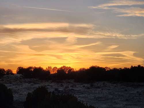
After work and starting at sunset I hiked in the TV Hill State Wildlife Area next to work. It is nothing special by Colorado standards, but the sunset was nice.
March 3: Badito Cone (Colorado)
I climbed Badito Cone. It's a beautiful peak with some tedious talus at the end. It was super windy, but not enough to knock me down.t. The forecast said 75 mph winds, but I'd guess 55-60 (74 mph is considered hurricane force winds). Perhaps it sounds like a good time to stay indoors, but it's hard for me to do that.
March 2: Sierra Grande/Little Grande (New Mexico)
March 1: South Rattlesnake Butte (Colorado)
After a long day at work and in the dark I climbed South Rattlesnake Butte. My route up was class 3 which probably wasn't the best idea at night. I found a class 2 route down.
February 29: Capulin Volcano (New Mexico)
I had to be in Trinidad in the morning so I woke up early in order to climb Capulin Volcano as soon as it opened.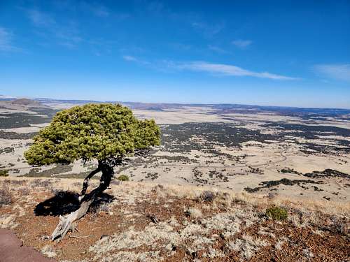
Febraury 28: Aguilar State Wildlife Area (Colorado)
After work I hiked in the Aguilar State Wildlife Area. I'm officially on 74 hour work weeks until mid-April so now have to do most of my hikes olin the dark, though I'll make time for as many as I can in the light. I got a little light on my hike, but I almost never get good night photos with the cellphone.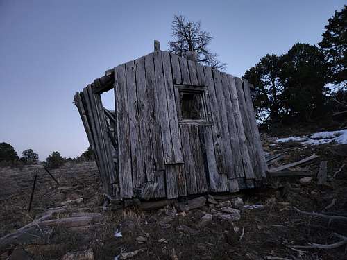
February 27: Apishapa Canyon (Colorado)
After work I headed to Apishapa Canyon in the Apishapa State Wildlife Area and hiked the rim between Jones Lake Canyon and the Apishapa River Canyon. My original plan was to hike down to the canyon bottom and explore around a bit, but blizzard conditions came quick and I decided I'd better do something shorter. I don't mind hiking in blizzards, but the roads are impassible when wet so I could chance getting stuck.
February 26: Peak 7091 (Colorado)
After work I climbed Peak 7091.
February 25: Picketwire Canyon (Colorado)
February 24: Santa Fe Trail/Vogel Canyon (Colorado)
I had to work today (ugh) so got a late start. First I did the Santa Fe Trail, but didn't have time to hike the whole thing. It is interesting from a historical standpoint only as the scenery is monotonous. That part of Colorado looks like western Kansas.
February 23: Peak 7091 (Colorado)
After work I climbed Peak 7091. I didn't get to the summit until well after sunset and came down in the dark. Luckily the moon was really bright. Unluckily it wasn't quite bright enough to keep me from tripping over a piece of barbed wire.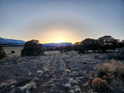
February 22: Dale Mountain (New Mexico)
I got up really early and climbed Dale Mountain (just inside NM) before work. I should have brought snowshoes, but didn't which made it a strenuous trip for a such a benign looking mountain. It was a lot of postholing!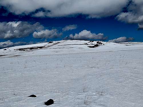
February 21: Aguilar SWA (Colorado)
After work I hiked around the Aguilar State Wildlife Area without a real destination; just wanderings. By Colorado standards, scenery was average at best, but it was nearby. I found some more very old and mostly gone mining cabins from the 1800s.
February 20: The Hogback (Colorado)
At night I climbed The Hogback.
February 19: Peak 5750 (Colorado)
Kessler and I climbed Peak 5750 and Eagles Nest Rock before I had to head out of town for work.
February 18: Fisher Towers/North Fork Onion Creek (Utah)
Andre, Kim, and I traversed the ledges from Lizard Rock to Doric Column and then descended the North Fork or Onion Creek. We were originally going to climb some of the towers, but it was snowing when we started.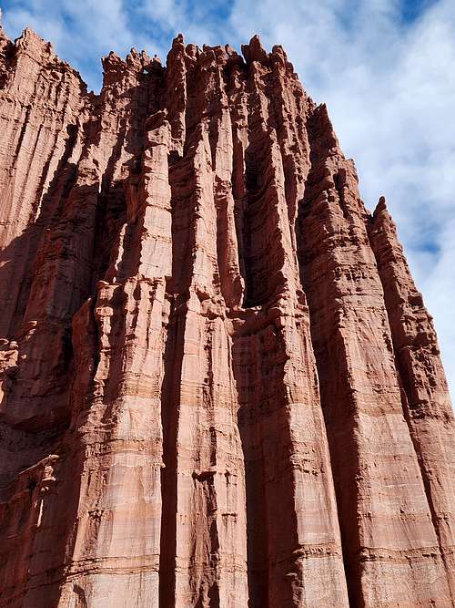
February 17: Gunnison Bluffs/Old Spanish Trail (Colorado)
Kim and I hiked a loop combining the Gunnison Bluffs and Old Spanish Trail. It was quite as pretty as some of the other local areas, but it was a great hike. We saw river otters, geese, and ducks.
Febraury 16: Opal Hill (Colorado)
After work Kim and I hiked the loop over Opal Hill.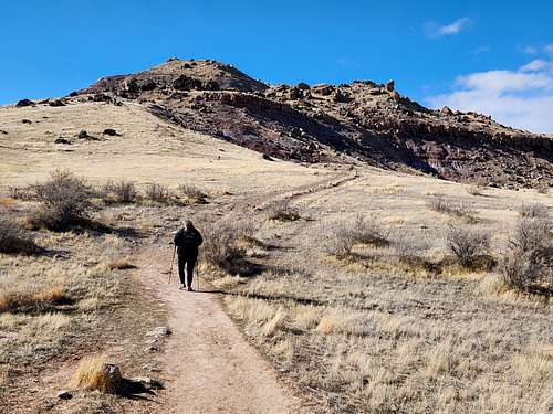
February 15: Cuerno Verde Trail (Colorado)
After work I and on my way home (7+ hour drive) I stopped at Lathrop State Park and hiked the Cuerno Verde Trail around Martin Lake. That put me home really late though.
February 14: Peak 7091 (Colorado)
After work I climbed Peak 7091, finishing just after dark. Since the part of Colorado (Aguilar) I'm working in now (until April) has a lot of private land issues, I'm already running out of new places and am doing repeats.
February 13: Capulin Mountain/Lava Flow Trail/Boca Trail (New Mexico)
After work I climbed Capulin Mountain and then around sunset the Lava Flow Trail and part of the Boca Trail. The trails are supposed to be closed after dark so that's all I had time for. I saw lots of deer on the mountain.
February 12: Peak 7091 (Colorado)
After work I climbed Peak 7091. It was a combination of snow, cactus, and wind.
February 11: Lake Rita Blanca (Texas)
I was originally hoping to hike at Palo Duro, but it was closed due to snow so I stopped at Lake Rita Blanca near Dalhart Texas on my way back to Colorado. It was snowing at first, but some blue sky peeked out later. I planned to hike all the way around the lake, but the creek flooded the trail in one spot since the ice and slush formed a dam and I didn't feel like wading. There were a lot of geese at the lake.
February 10: Palo Duro Canyon (Texas)
February 9: Baldy Hill/Peak 5610 (New Mexico)
I decided not to drive accross the Rockies during the blizzard so head Southeast instead. After work and on my way to Palo Duro I stopped to climb Baldy Hill and Peak 5610 in New Mexico. I had originally hoped to climb three peaks, but these were slightly more challenging than I expected so I didn't get the the top of the 2nd until sunset. It was dark by the time I finished.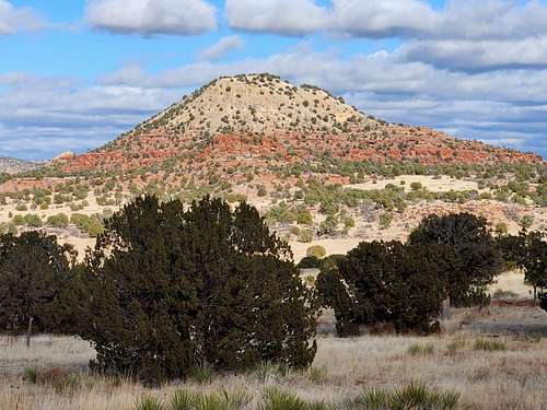
February 8: Simpson's Rest (Colorado)
After work I hiked up Simpson's Rest near Trinidad. Although you can drive within a few feet of the top, I hiked it from town.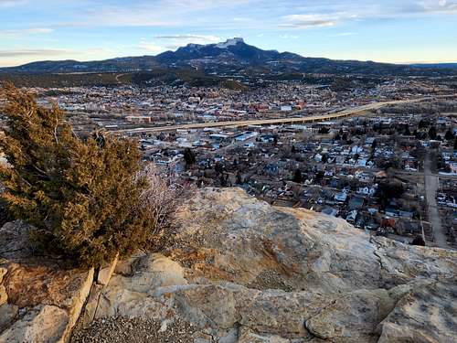
February 7: Aguilar SWA (Colorado)
After work I hiked in the Aguilar State Wildlife Area without a real destination, but just wandering around. Scenery was just average and I found some old mine ruins. Since it was either dark or mostly dark I didn't get many photos. I saw many deer as well.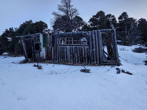
February 6: Cuerno Verde Trail (Colorado)
After work I hiked the Cuerno Verde Trail, a 3 mile trail around Martin Lake near Walsenburg. Since it was already after sunset by the time I left and since it was cloudy I didn't get many photos. It was well after dark by the time I finished.
February 5: Haystack 3 BM (Colorado)
Before heading off to my project in the morning I climbed Haystack 3 BM. It was windy, but with mostly clear skies.
February 4: County Line Trails/Point 10,845 (Colorado)
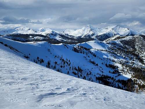
In the afternoon Kim and I snowshoed up to Point 10,845 (elevation) up on Grand Mesa. It was a fantastic winter day.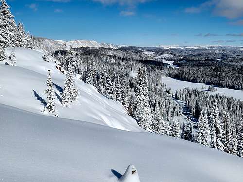
February 3: Riggs Hill (Colorado)
Kim and I hiked Riggs Hill. We didn't have time for a longer hike today.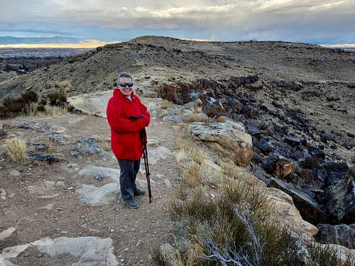
February 2: Dinosaur Hill (Colorado)
After work Kim and I met at Dinosaur Hill and hiked the loop. We got back just before it started raining.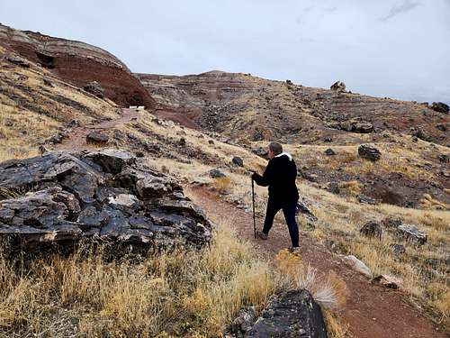
February 1: Lost Trail/Dead Bird Trail (Colorado)
After work and on my way home from my project I stopped near Salida and made a loop hike of the Lost and Dead Bird Trails. It was after dark by the time I got back.
January 4: Haystack 3 BM (Colorado)
Before work, Shaylee, Kessler, and I hiked Haystack 3 BM on a cloudy morning. Luckily the snow stayed hard because of the clouds.
January 3: Peak 11,702 (Colorado)
On my way home from work, I stopped to climb Peak 11,702 (between the two Monarch Passes) and I'm posting this from the summit. I wanted to get there by sunset, but I got there a little too early for it. Since it was cold and windy and since I was tired I headed down about 20 minutes before sunset.
January 2: Peak 7091 (Colorado)
After work I climbed Peak 7091 near Walsenburg. It is one of the few public access mountains around here. The hike itself wasn't that impressive, but the views were nice.
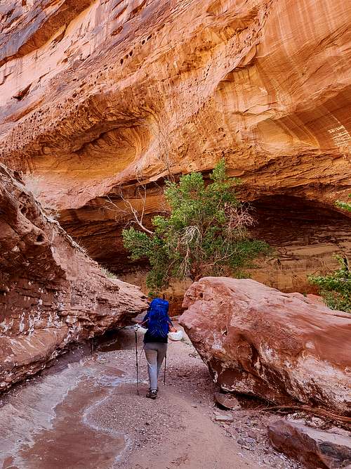
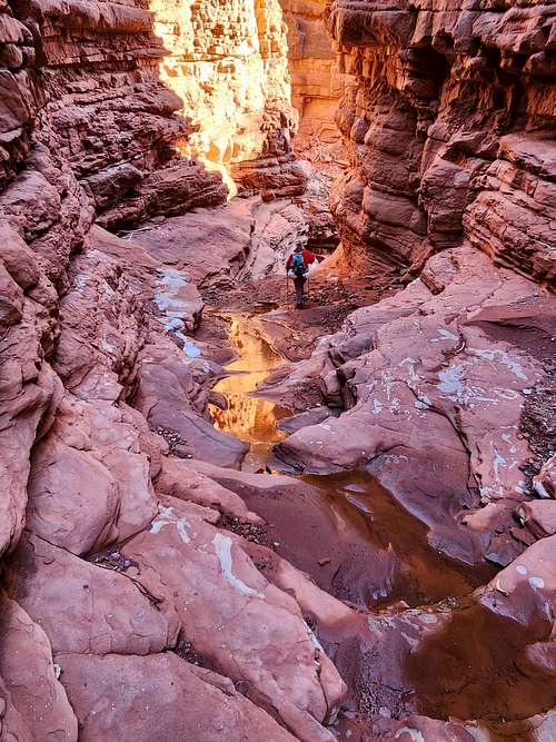
January 1: East Fork Ribbon Canyon/Ribbon Canyon (Colorado)
Along with Kessler, Jocelyn, Mark, Maddog, and Cory, I took a canyoneering trip through East Fork Ribbon Canyon and Ribbon Canyon not far from where I live. Conditions were fantastic (though we could use more snow!) with only a little snow and the potholes were east to cross since they were frozen solid. As always, it was a beautiful canyon.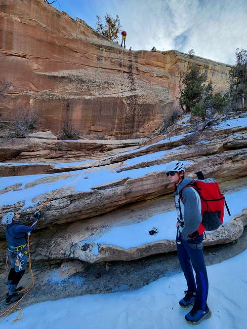
Accumulated Totals for 2024:
Days that I went hiking or climbing: 116
Summits Climbed: 70
Summits Attempted: 70
New Summits Climbed: 24
New Summits Attempted: 24
States Hiked or Climbed in: 5
Countries Hiked or Climbed in: 1
Rock Towers/Technical Buttes Climbed: 0
Rock Towers/Technical Buttes Attempted: 0
Technical Rock or Ice Routes Climbed: 3
Technical Rock or Ice Routes Attempted: 3
Technical Canyons Completed: 5
Technical Canyons Attempted: 5
Overseas Summits: 0
Biking Days: 2
Weight Lost (lbs.): 0
Goals for 2024:
Days to go hiking or climbing on: 350
Summits: 150
New Summits: 60
States to hike or climb in: 6
Countries to climb summits in: 1
Rock Towers: 10
Technical Rock or Ice Routes: 30
Technical Canyons: 30
Biking Days: 30
Lose Weight (lbs.): 20 (currently at 262)
Highest Elevation Reached
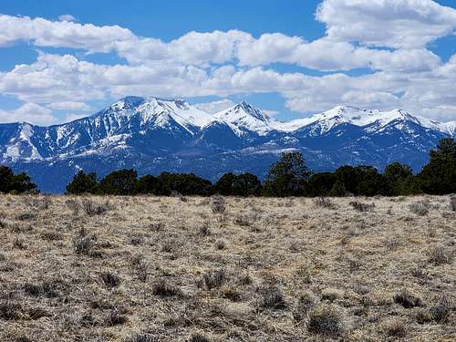
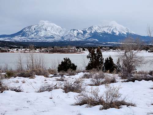
11,912 feet (3631 meters) at Monarch Ridge South (Colorado); April 5, April 15.
Highest Elevation Reached in USA
11,912 feet (3631 meters) at Monarch Ridge South (Colorado); April 5, April 15.
Highest Outdoors Sleeping Altitude
5774 feet (1760 meters) at South Caineville Mesa (Utah); March 29-30.
Highest Outdoors Sleeping Altitude in USA
5774 feet (1760 meters) at South Caineville Mesa (Utah); March 29-30.
Highest Elevation Climbed To By Month
| Month | Feet (USA) | Meters (USA) | Feet (World) | Meters (World) | |
| JAN | 11,702 | 3567 | 11,702 | 3567 | |
| 7322 | 10,845 | 3306 | 10,845 | 3306 | |
| MAR | 8942 | 2726 | 8942 | 2726 | |
| APR | 11,912 | 3631 | 11,912 | 3631 | |
| MAY | |||||
| JUN | |||||
| JUL | |||||
| AUG | |||||
| SEP | |||||
| OCT | |||||
| NOV | |||||
| DEC |
Highest Outdoors Sleeping Altitude by Month
| Month | Feet (USA) | Meters (USA) | Feet (World) | Meters (World) | |
| JAN | 5700 | 1737 | 5700 | 1737 | |
| FEB | 4633 | 1412 | 4633 | 1412 | |
| MAR | 5774 | 1760 | 5774 | 1760 | |
| APR | 4230 | 1289 | 4230 | 1289 | |
| MAY | |||||
| JUN | |||||
| JUL | |||||
| AUG | |||||
| SEP | |||||
| OCT | |||||
| NOV | |||||
| DEC |
April 20
Highest April ascent in New Mexico; 10,199 feet (3109 meters) at Cerro Grande. The previous April record for New Mexico was 8490 feet (2588 meters) at Dale Mountain on April 4 2024.
February 22
Highest February ascent in New Mexico; 8490 feet (2588 meters) at Dale Mountain. The previous February record for New Mexico was 8182 feet (2494 meters) at Capulin Volcano on February 13 2024.
February 11
It wasn't much of a record, but Rita Blanca Trail at 3910 feet (1192 meters) was the highest I have hiked in February in Texas. The previous February record for Texas was was 3411 feet (1040 meters) at CCC Trail on February 10 2024.
January 27
Highest ascent in Oklahoma; 4973 feet (1516 meters) at Black Mesa.
January 26-28
Highest outdoor sleeping altitude in Oklahoma; 4311 feet (1314 meters) at Lake Carl Etling.
January 23
Highest January ascent in New Mexico; 8182 feet (2494 meters) at Capulin Volcano.