A highpointer runs up Black Mesa

A highpointer runs up Black Mesa

Page Type Page Type: Trip Report
Location Lat/Lon: 36.93190°N / 102.9977°W
Date Date Climbed/Hiked: Apr 14, 2002
Black Mesa  photo_id=70402
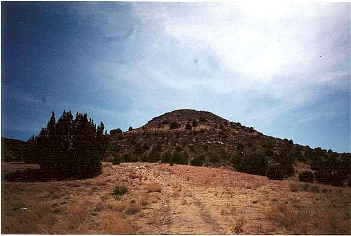
Running up the trail


I drove over 300 miles from Denver, Colorado to Black Mesa. Driving here from Denver is different than coming from the East or West. I did not go through Boise City from the East. Rather, I drove down I-25 to Pueblo, and turned on rt. 50. This took me to La Junta, CO. From La Junta, I drove down rt. 109, where I got my first view of the kind of Mesas I would see in Oklahoma. I took rt. 109 to rt.160, which goes towards Pritchard, CO. However, there is a series of dirt roads that go towards a paved road. The first one I couldn't find, but I found a later one, road W, that goes into road 13, which takes you right onto the main (paved) road to Black Mesa. I found the road easily with a Colorado map, so it shouldn't be that difficult. The road may be route 406, but it doesn't really matter since all you have to do is reach a paved road, and drive West for 10 miles or so until you see a sign for Black Mesa. On the main road, I took a right after seeing the road sign that indicates "Black Mesa Summit 5 miles." Actually, the trail head is 5 miles away. The trailhead is clearly marked.

It was a clear day, about 80 degrees. It looks like you are in the desert, with Southwestern landscapes, a hot and dry climate, and plenty or thorny plants and cacti. I ran/walked the trail, and got to the foot of the mesa in about 25 minutes, though it was about 2.5 miles. Then I hiked up the Mesa, on a semi-steep trail. I ran/walked another 1.5 miles or so to the stone monument. The monument is really well maintained.

I walked further, off-trail, and reached the edge of a cliff. At the cliff edge you are actually in New Mexico, since the state line is only a few feet west of the stone marker. If you look out, you will see some extinct volcanoes. The wind at the cliff edge was extreme, although there was little wind by the stone marker.

This was an enjoyable hike, though only because the skies were clear. Check the weather report for Boise City before venturing on this trip. It apparently stormed severely the two days before I came.

Most of eastern Colorado is flat. Some of Southeastern Colorado has many Mesas, which are pretty and interesting landscapes. In Oklahoma, only the last 7 to 8 miles of the Western Panhandle contain Mesas. Oklahoma does have some other mountains, but they are in other parts of the state, not located in the Panhandle. Perhaps the best hiking in Oklahoma is not in the Mesas, but in the Witchita Mountains, located to the southwest of Oklahoma city.

For those of you who don't know, a Mesa is a flat top mountain of rock left over from lava flows from volcanoes that erupted many many years ago, even before Dick Clark was born! I like the Mesa country, except that bottled drinks cost a fortune in the nearby town of Kenton. I guess that is because there is only one freakin' store. Highpointers will enjoy Black Mesa, which is 100 times more fun than the Kansas or Nebraska highpoints. Happy trails.


Comments

Post a Comment
Viewing: 1-3 of 3
Mark Doiron

Mark Doiron - Sep 11, 2006 2:36 pm - Voted 10/10

Best Oklahoma Hiking Is ...

Thanks for the nice TR. But, I'd argue that the best Oklahoma hiking is diagonally across the state in the southeast (in the Ouachitas, not the Wichitas). The Ouachita Trail, Old Military Road, Boardstand Trail and David Boren Trail provide exceptional opportunity to hike and backpack. In the pamphlet Backpacker Weekend Getaway Guide--22 Scenic Hikes with Guaranteed Solitude, all four of these trails are called out. --mark d.

amiller118

amiller118 - Oct 14, 2009 2:59 pm - Voted 10/10

black mesa

The coolest thing about black mesa for me is that it is a very spiritual place, it was inhabited by clovis\folsum people as early as 8000-10000 b.c. its not a difficult hike or climb but there are mountain lions in the area and it can be a challenge in the summer just do to high temperatures, notwithstanding the fact that you are somewhat isolated from help, no cell service and 40+ miles to boise city, with a helicopter ride to a major medical facility

tucsonmike

tucsonmike - Jun 21, 2011 1:14 am - Hasn't voted

Hike early in the AM

my wife and I hiked this during the summer. we did not leave earlier enough. we left at 7:00AM and should have left at 5:00AM. we stayed at the B&B that is right by the high point and they told us to leave earlier, we should have listened. we made it but it was so painful, NO SHADE. going up was easy but the sun caught us coming down. nice, pretty hike but HIKE EARLY if hiking in the summer. we loved the little town, we had a huge "pork chop" lunch after our hike, BEST pork chops ever !!

Viewing: 1-3 of 3


Parents 

Parents

Parents refers to a larger category under which an object falls. For example, theAconcagua mountain page has the 'Aconcagua Group' and the 'Seven Summits' asparents and is a parent itself to many routes, photos, and Trip Reports.

Black MesaTrip Reports