
Comments
No comments posted yet.
|
|
Trip Report |
|---|---|
|
|
35.98036°N / 114.6979°W |
|
|
Download GPX » View Route on Map |
|
|
Feb 7, 2022 |
|
|
Hiking |
|
|
Winter |
This hike starts on Route 93 four miles south of Hoover Dam which sits on Arizona-Nevada border. From the trailhead, the path goes downhill onto a dry desert wash which soon turns into a tight canyon named White Rock Canyon until after 3.3 mile, it reaches Colorado River (the entire distance is a hike with no technical difficulties). If you follow the river downstream a short distance, go into the next canyon and up a 20-foot ladder, you will reach Arizona Hot Springs. I had read that the ladder had been washed away in a flood and I did not want to get wet in the cool winter temperatures, so I did not even plan to go to the hot springs.
Backtracking up White Rock Canyon to within 0.9 miles of trailhead, a different trail can be followed to Liberty Bell Arch and then the top of a 1693 ft high mountain which can give you great views of the river 1050 vertical feet below
Hike Length: 10.0 miles
Trailhead Elevation: 1575 ft
Elevation at Colorado River: 640 ft
Elevation at top of Mountain: 1693 ft
Total Ascent: 1875 ft
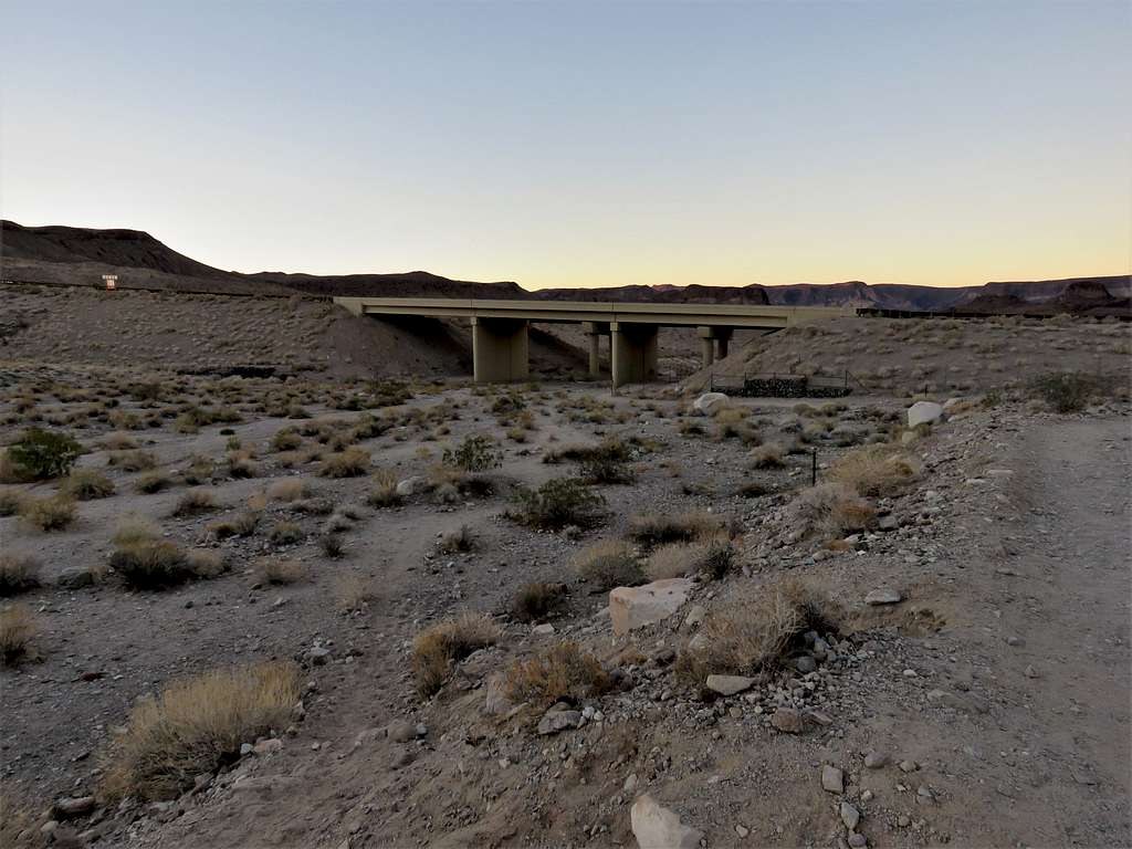
Started my hike at 6:35 a.m. There were a couple of cars in the parking area, but I did not see any other people until I was on my way back. The path went under Route 93 bridge.
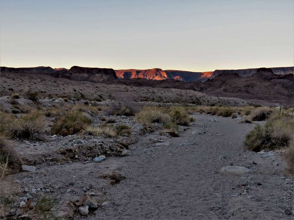
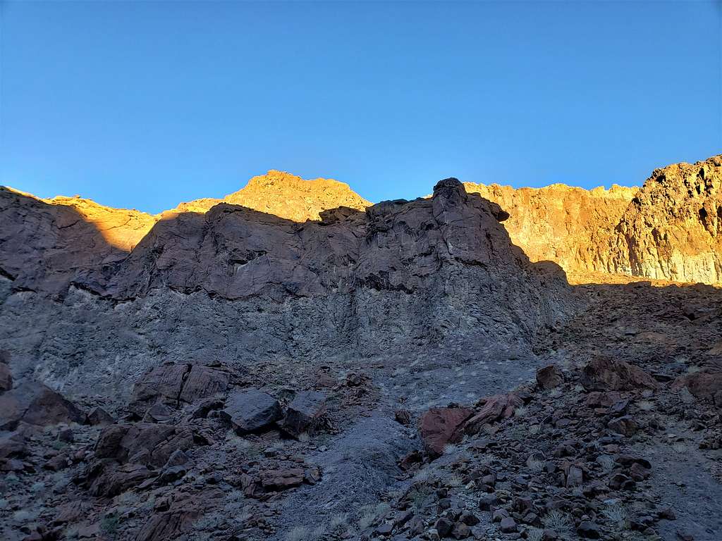
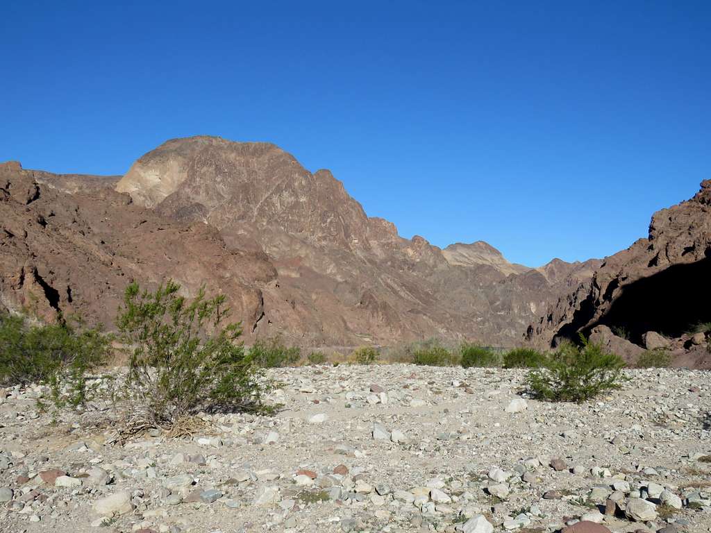
Continued downhill in a broad desert wash. The sun was rising over the mountains to the west.
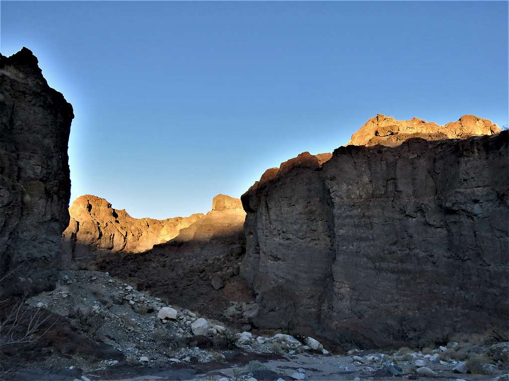
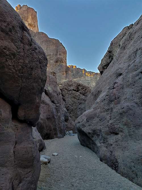
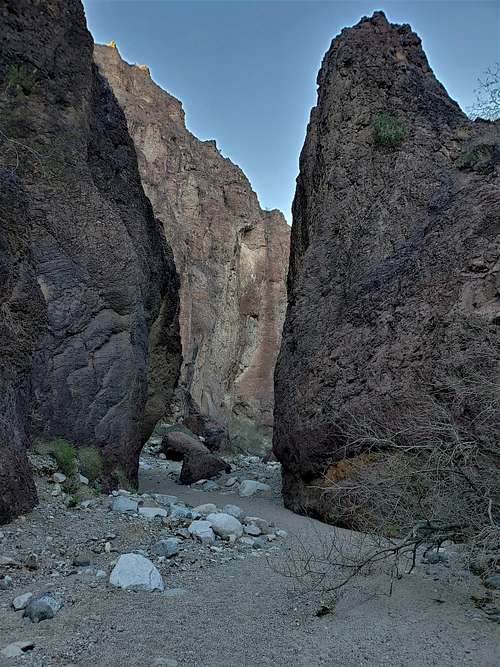
Start of the canyon.
After 0.9 miles, I reached the signed junction with a trail that went to Liberty Bell Arch, but I stayed in the canyon.
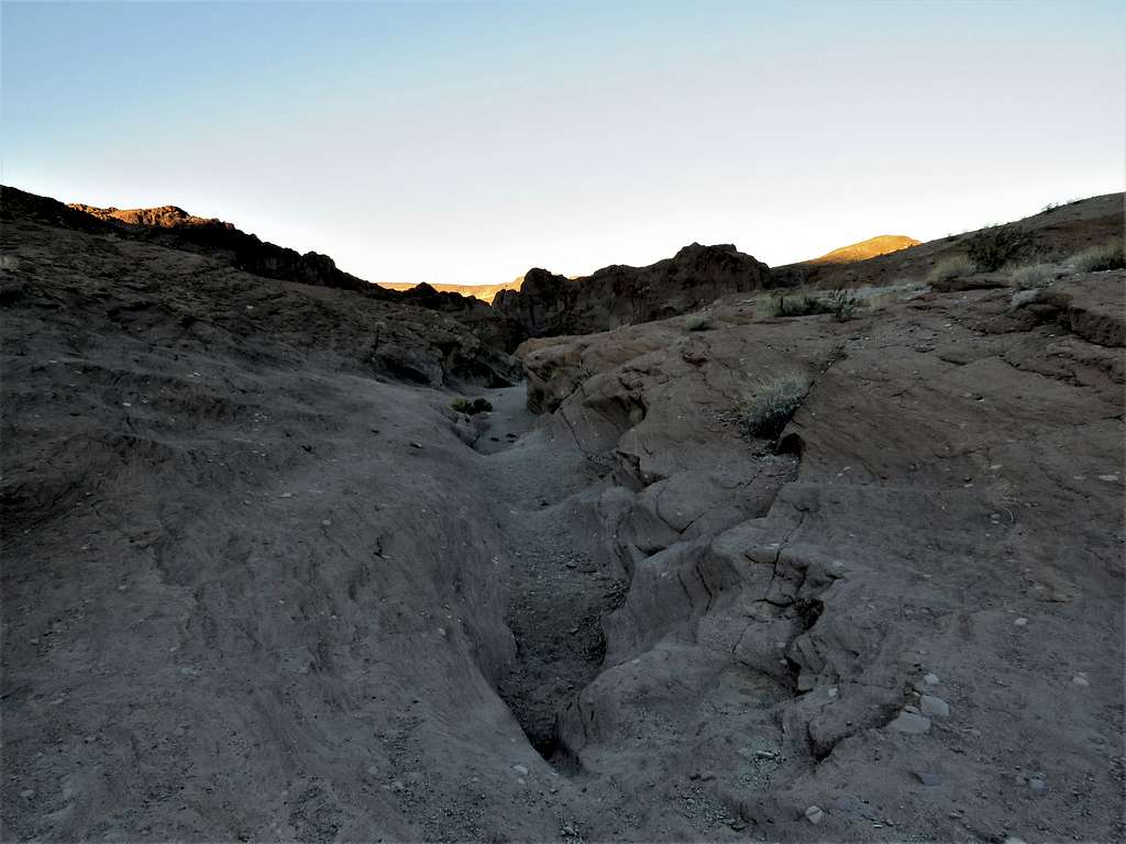
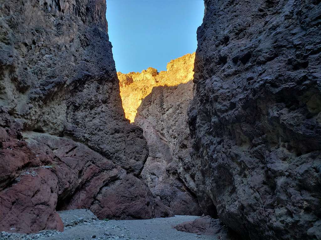
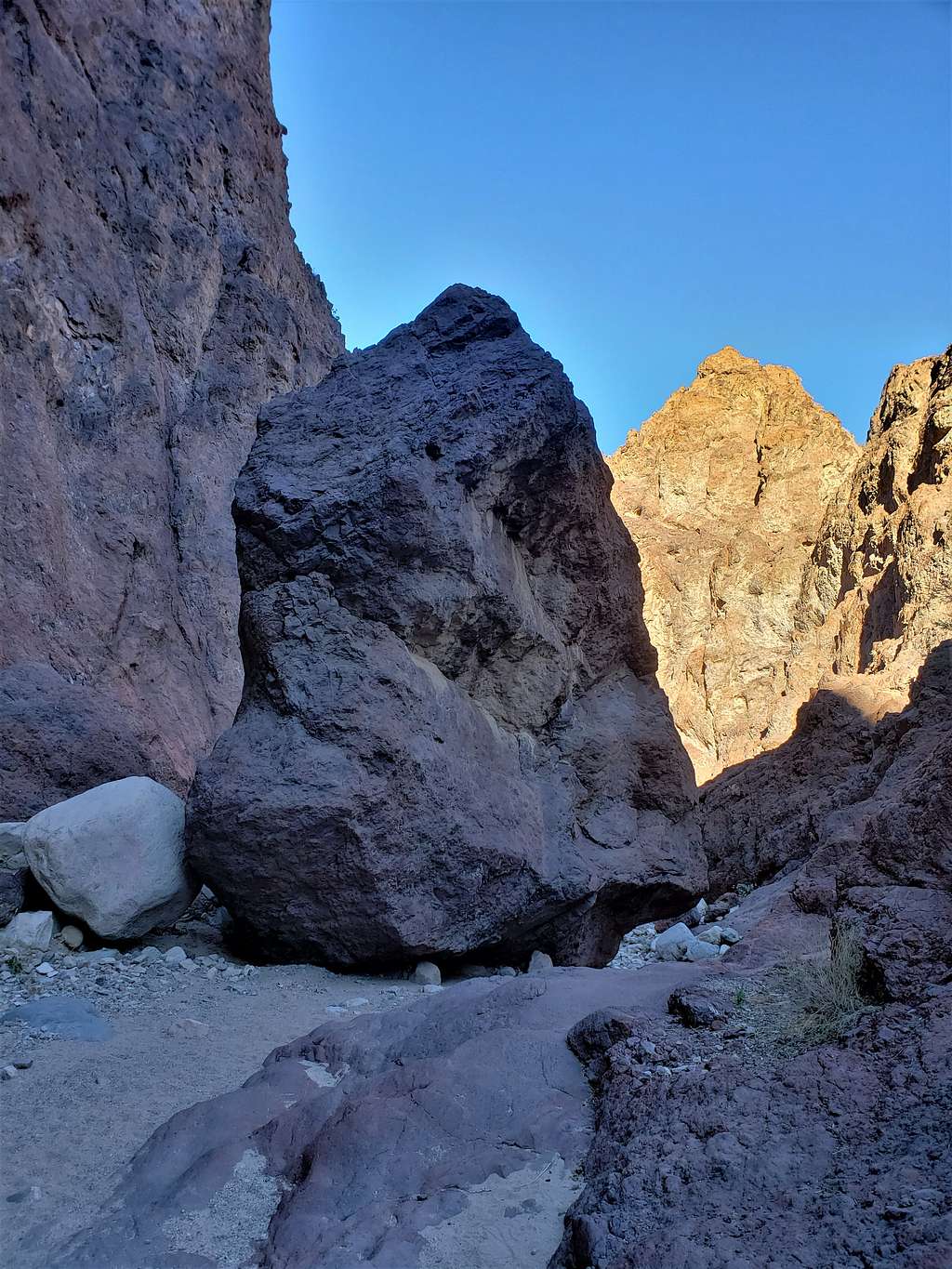
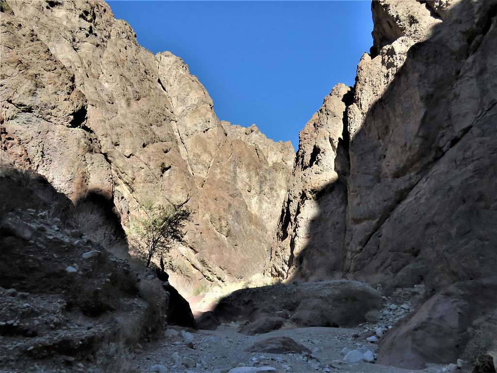
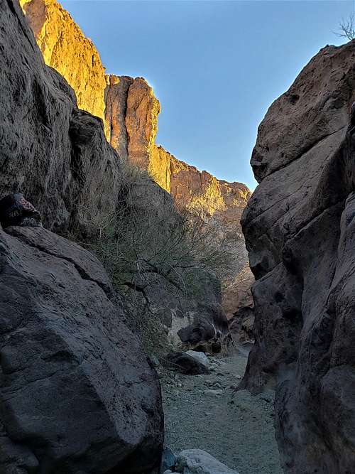
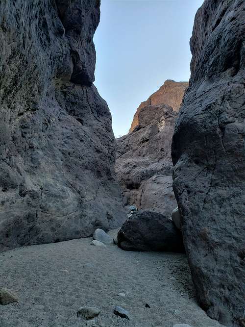
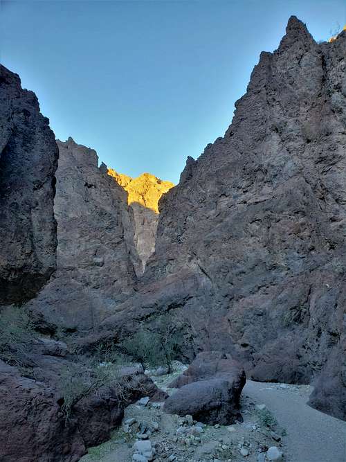
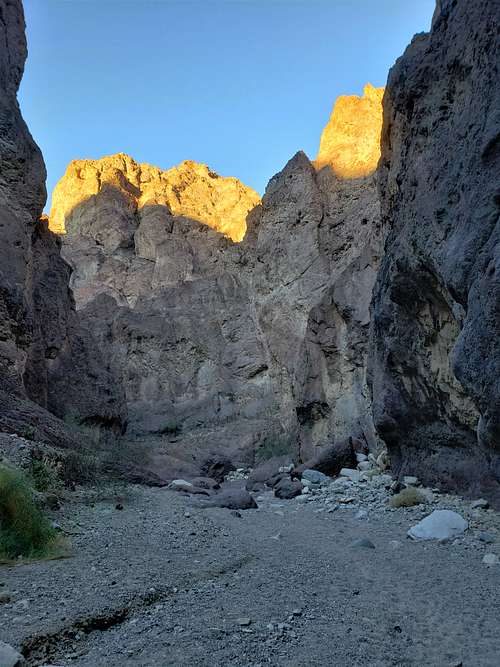
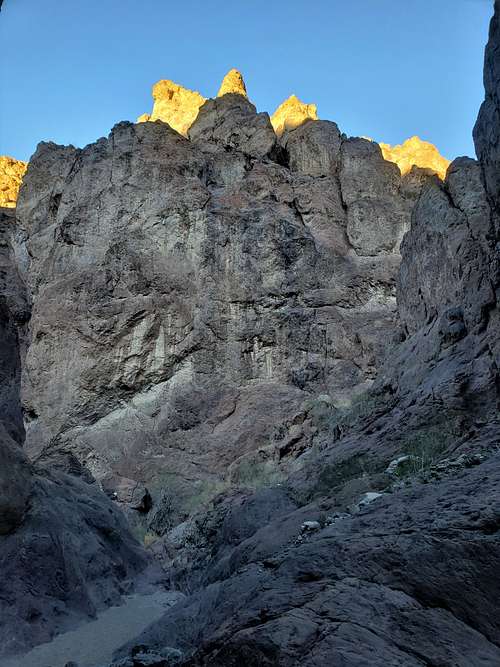
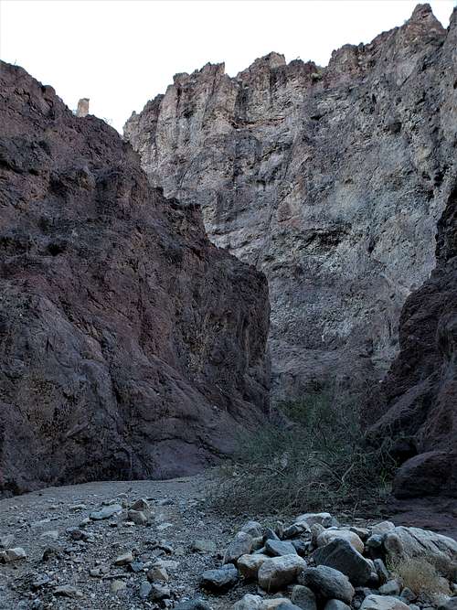
Upper canyon.
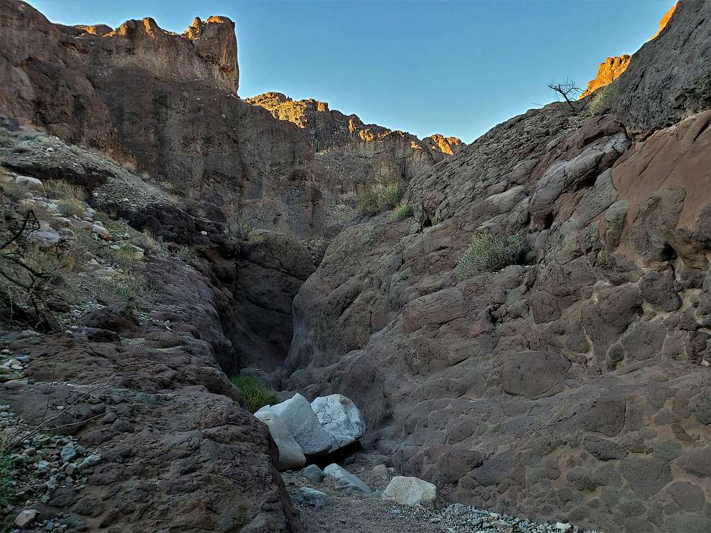
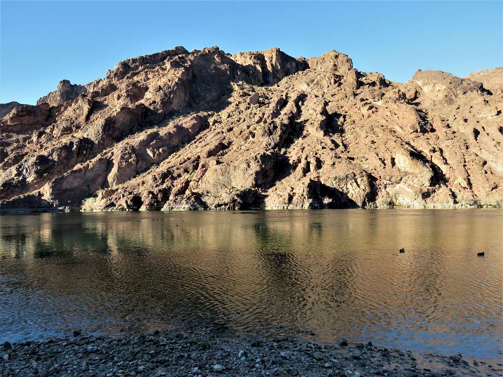
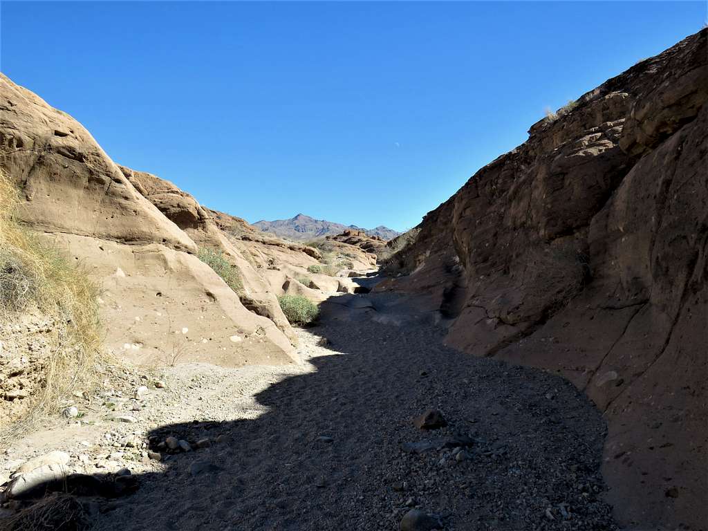
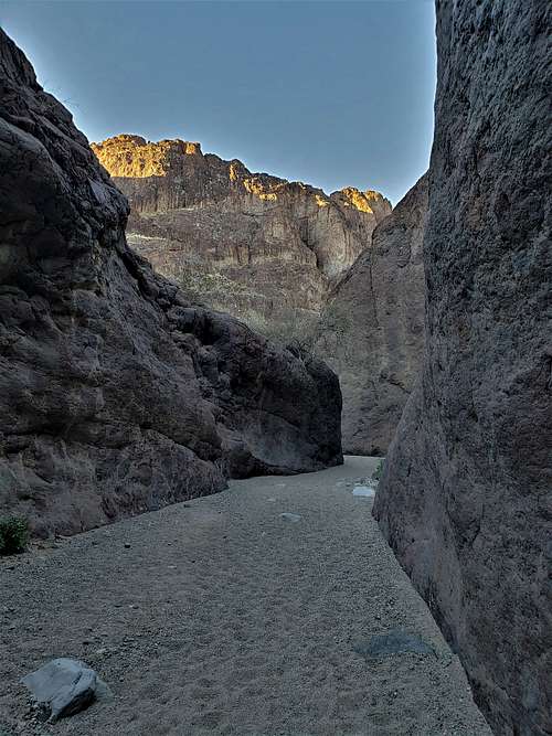
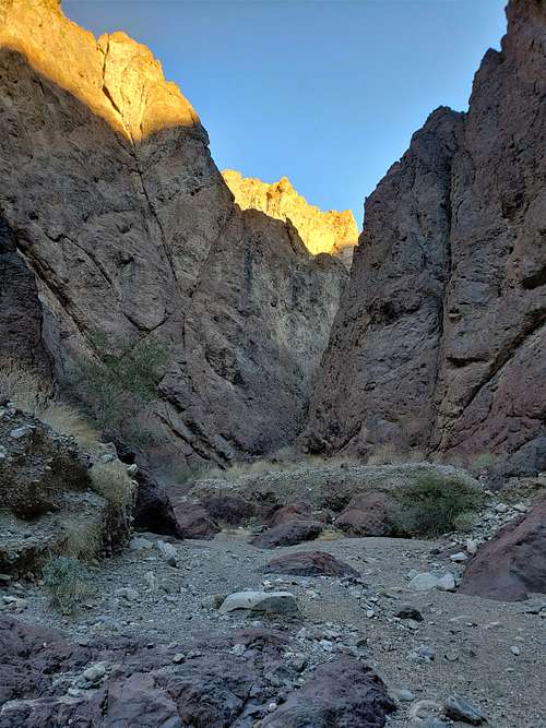
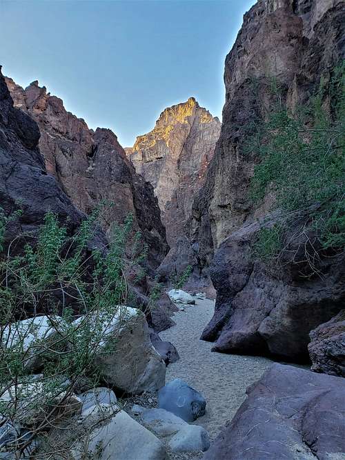
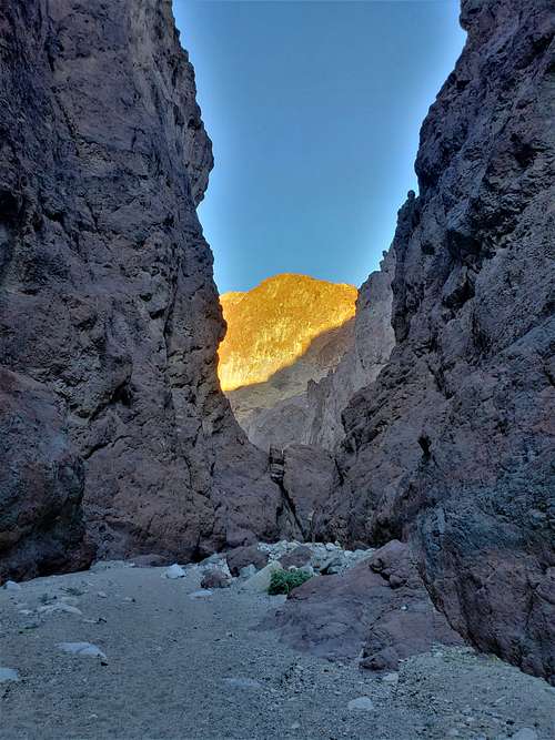
For the next couple of miles, I remained at the bottom of a tight meandering canyon which gave me spectacular views at every turn.
|
|
|
|
|
|
|
|
|
|
|
|
|
|
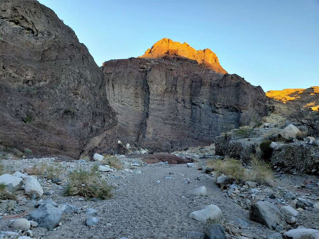
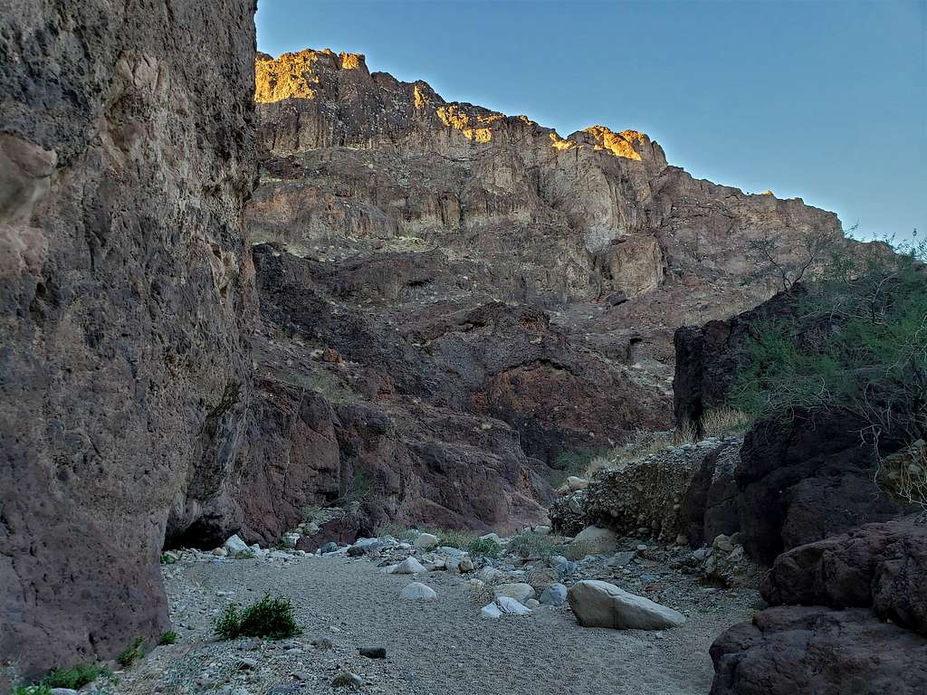
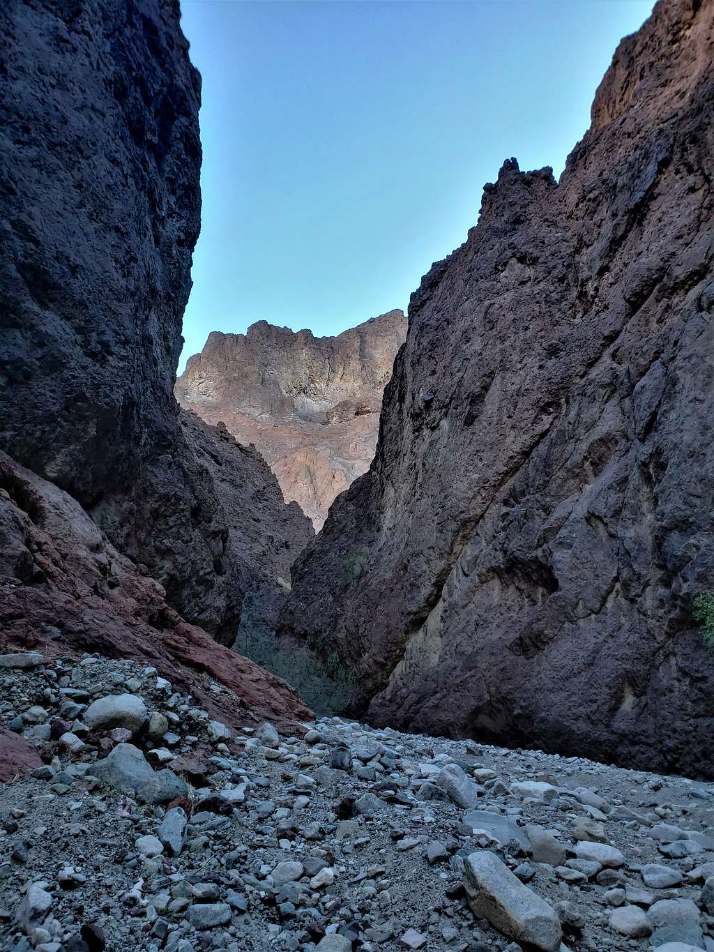
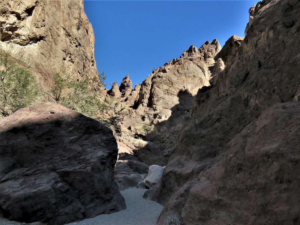
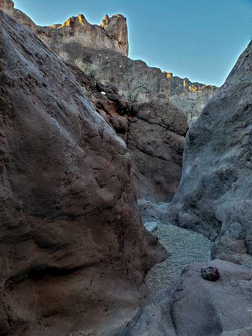
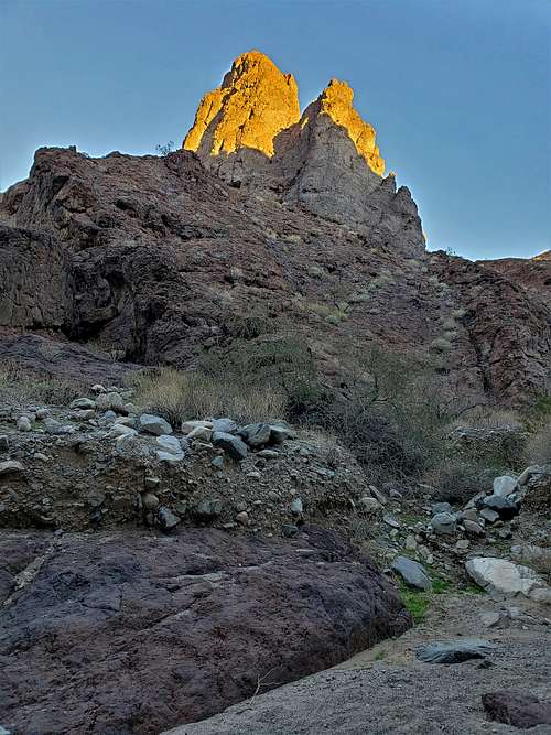
Looking up at the walls to the north. The peak That I planned to climb later, or at least some of its walls, were in view.
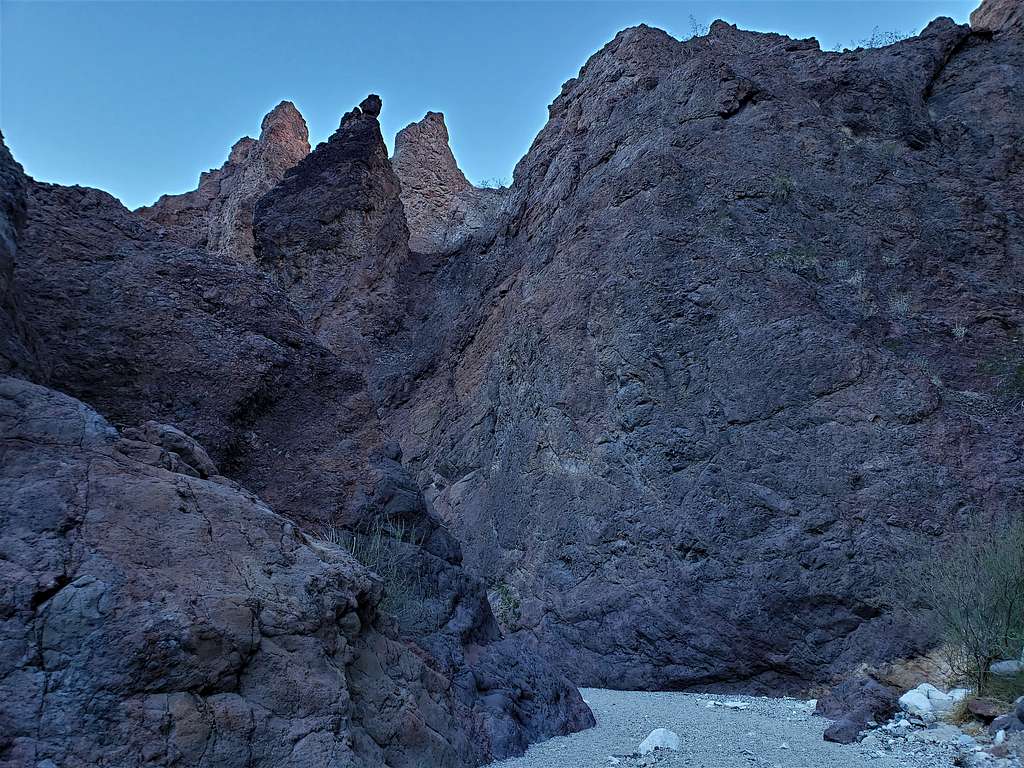
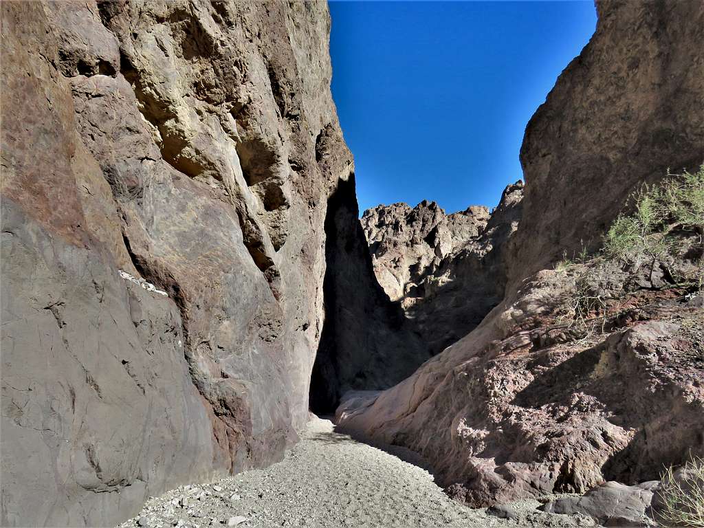
Continuing down the canyon.
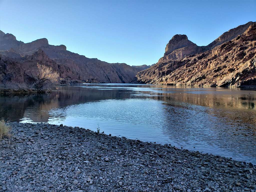
Reached Colorado River at 8:15 a.m. and 3.31 miles. My most favorite river. Sat there to eat and enjoy the views.
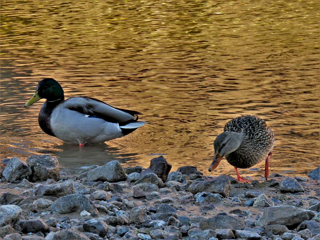
Made friends with some of the locals.
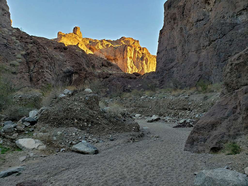
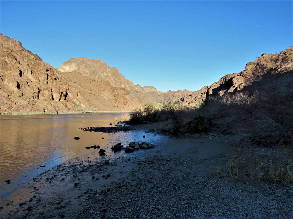
Left at 8:30 a.m. View from just before entering the canyon.
I was then in the canyon retracing the path that I had come. Ran into 3 groups of people.
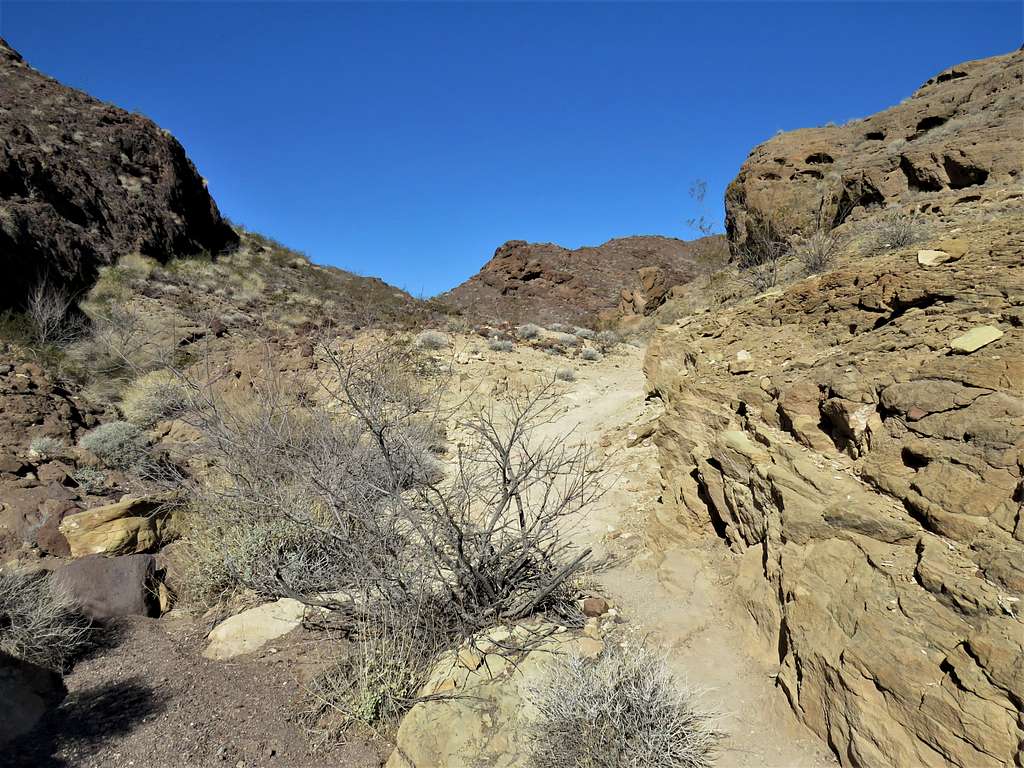
At 9:30 a.m. and 5.5 miles of hiking, I reached where the trail to Liberty Bell Arch separated. Exited the canyon and began to follow that trail up the desert mountains.
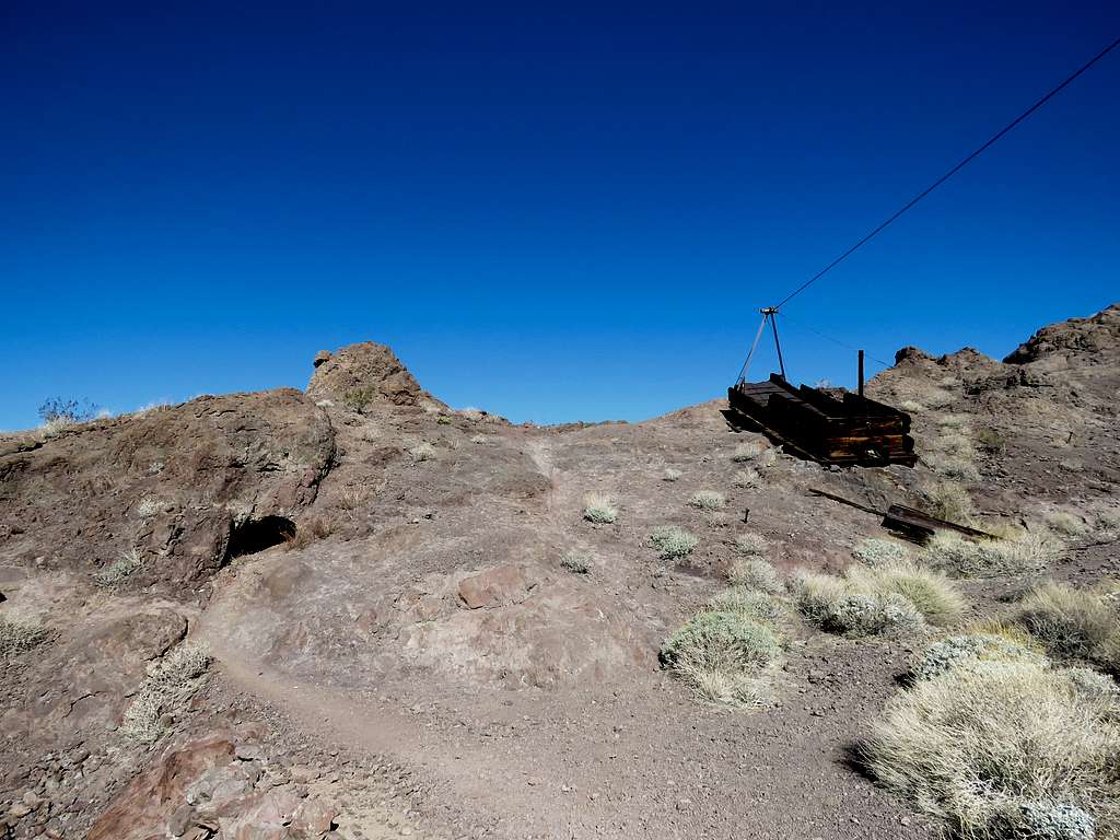
Reached the remains of an old, abandoned mining operation.
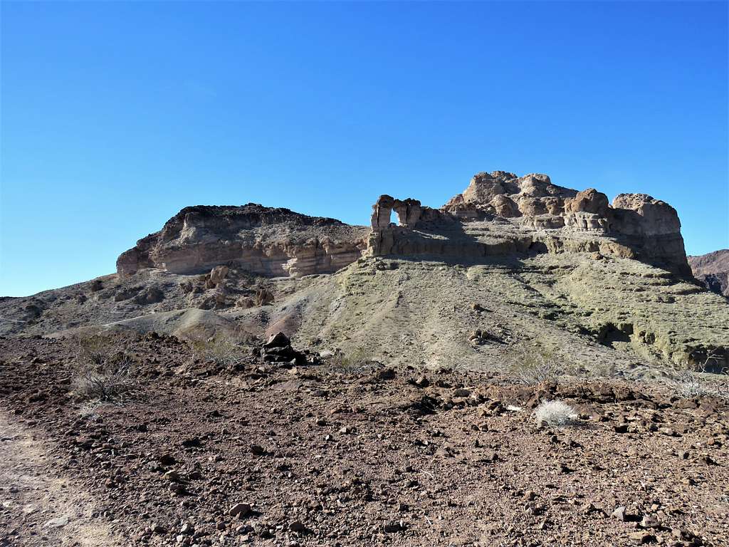
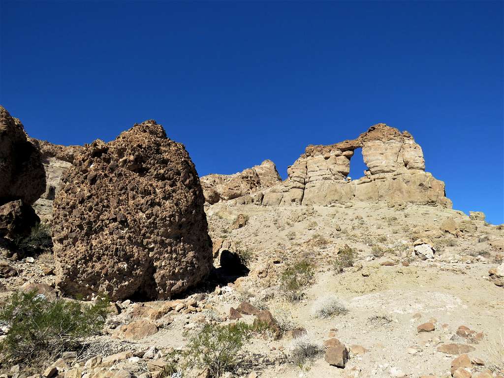
The trail went down 200 vertical feet and then began to climb again taking me close to the huge Liberty Bell Arch.
The other side of the arch.
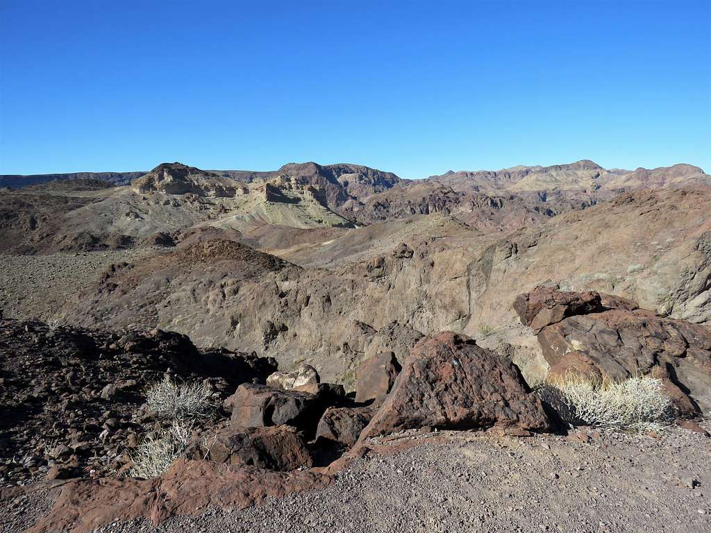
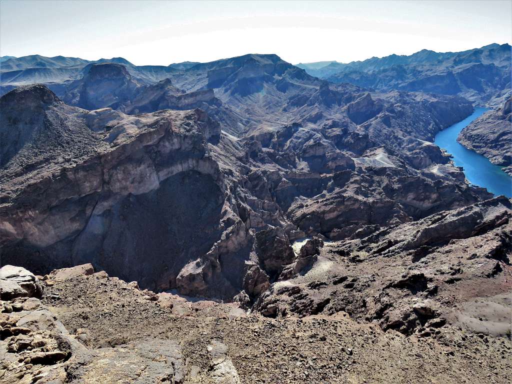
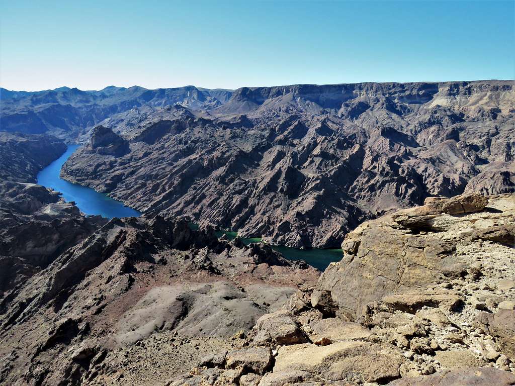
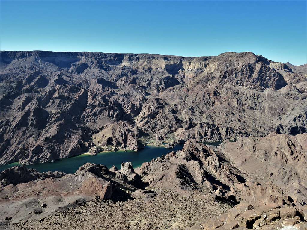
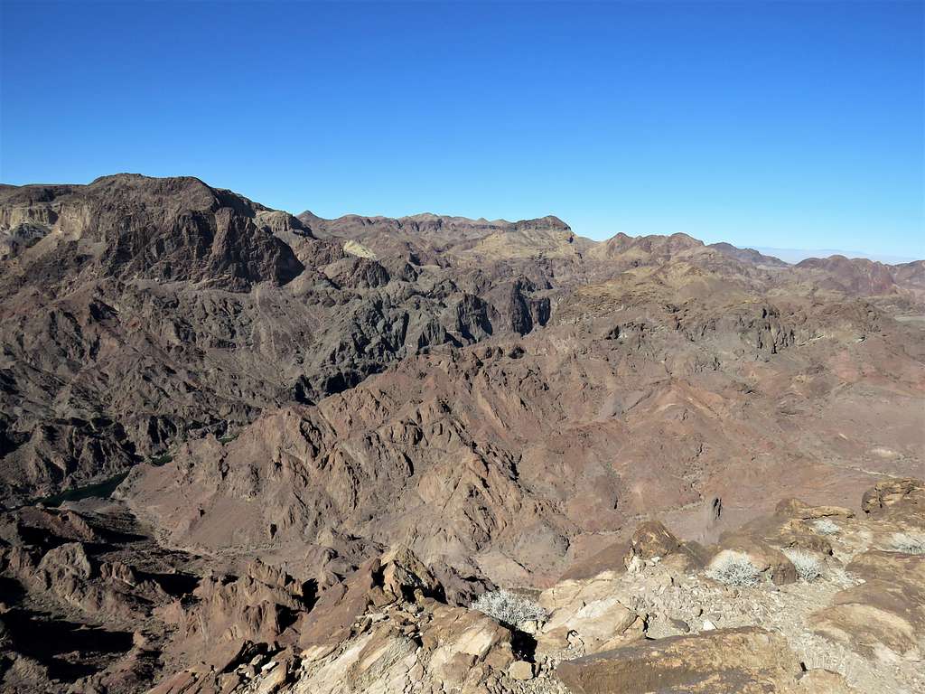
Continued up the trail until at 10:30 a.m. and 7.3 miles of hiking, I reached the top of the 1693 ft peak which was a broad area. A few people were there. Sat in a place to eat and rest. Colorado River was 1050 vertical feet below me. View south.
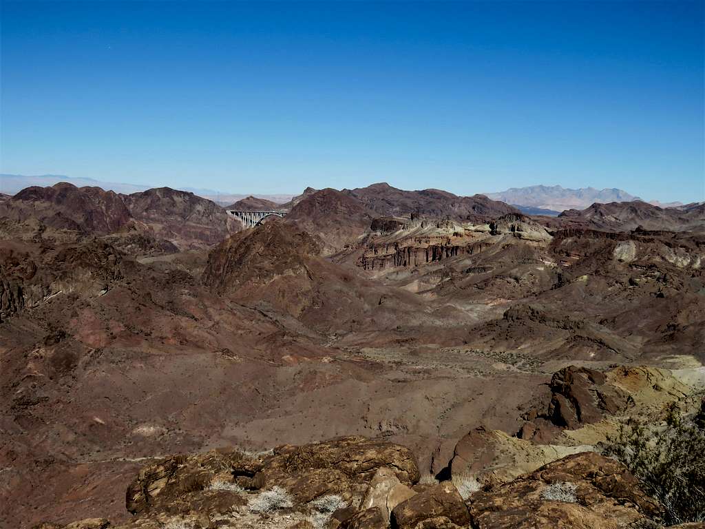
I then moved to the north end of the summit area.
View of Mike O’Callaghan-Pat Tillman Memorial Bridge on Route 93. Hoover Dam sat just behind the bridge and is not seen in this picture.
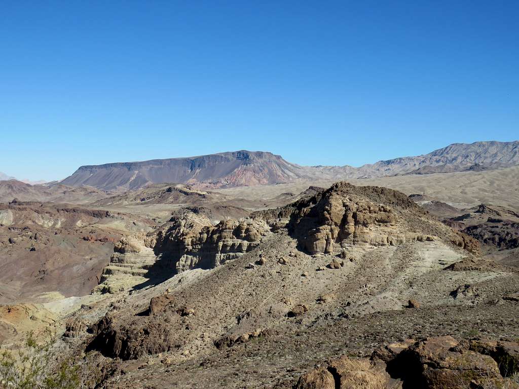
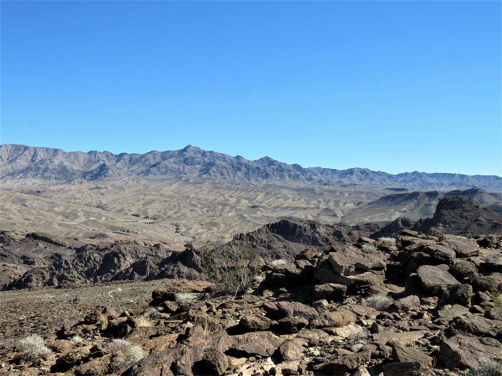
More views from the top.
Left at 10:50 a.m. and began to walk back to the trailhead. Near the mine, I ran into a young couple. Referring to the rock around us, the lady asked: “Do you know if that is copper because it is blue?”. I did not hear what she said and said what? She repeated. Not expecting that kind of a question, I smiled and said I don’t know. As soon as I went past her, I felt that I did not sound very smart. I kind of knew the answer to her question. Perhaps I should have said: “I am not a minerologist and cannot tell you whether that rock contains copper or not, but I know that copper sulfate has a greenish-blue color. In general, compounds of transition metals such as copper are colored due to unfilled d orbitals”. Instead, I said “Huh? I don’t know”. Well, it was too late to go back and change my answer so I kind of felt bad for the rest of the hike.
Back into the upper ends of the canyon.
Reached my car at 12:00 noon and 10.03 miles of hiking.