
Comments
No comments posted yet.
|
|
Trip Report |
|---|---|
|
|
36.17876°N / 114.64497°W |
|
|
Download GPX » View Route on Map |
|
|
Feb 11, 2022 |
|
|
Hiking |
|
|
Winter |
The 3310 ft Hamblin Mountain rises on the north side of Lake Mead to the east of Las Vegas, Nevada. An unmarked beaten path goes from Northshore Drive to the summit of Hamblin Mountain. Much of the path follows the bottom of dry desert washes where a beaten path might not be visible, therefore, without having knowledge of the path, a hiker could easily get lost. Eyeballing the map on another website, I had entered what I had thought to be the correct path into my GPS. Looking at satellite photos a few weeks before the hike, I had noted that a portion of my chosen path seemed to go up the incorrect drainage, but I had not bothered to fix it thinking that I could figure out the correct path while on the mountain.
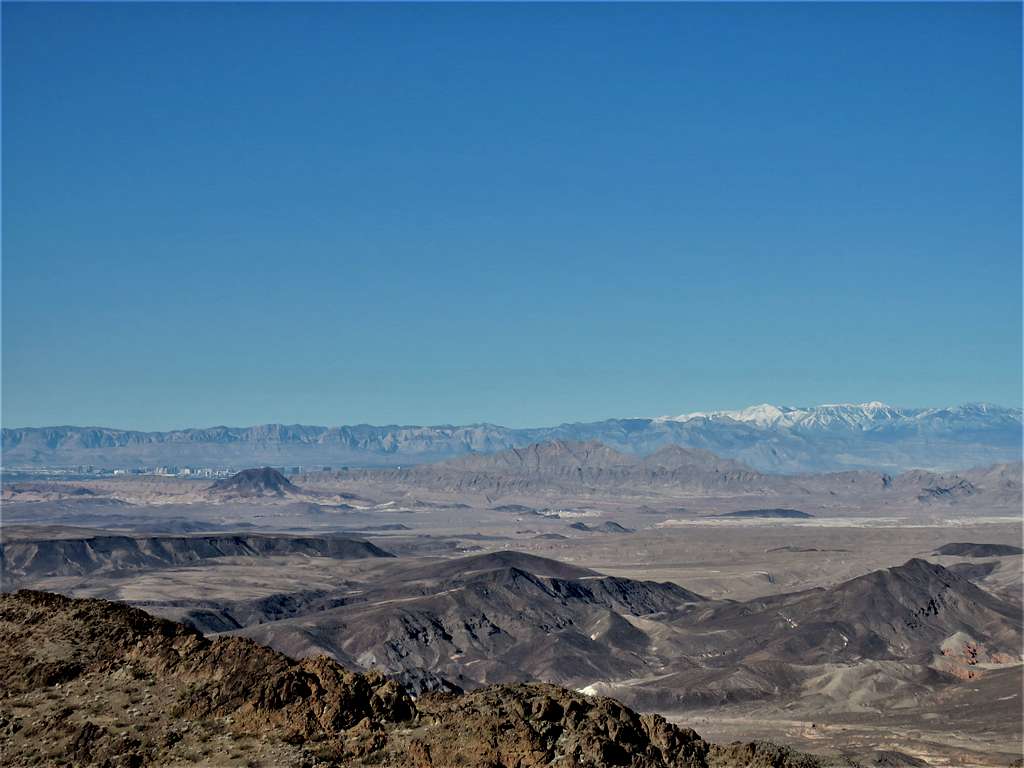
The summit of Hamblin Mountain provides the hiker with great views of Lake Mead as well as the city of Las Vegas and the snowy Mt. Charleston (in winter) rising above the city.
Wrong and correct path marked.
Hike Length: 7.6 miles
Elevation at Start of the Hike: 1935 ft
Summit Elevation: 3310 ft
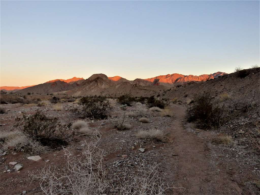
Drove North Shore Drive to an unsigned road pull-off beyond mile marker 18. No one was there. Started my hike at 6:30 a.m. when it was 50 degrees F. A beaten path was visible on the south side of the road. Got on the path and began to follow it south on the surface of the desert plain. Looking back north.
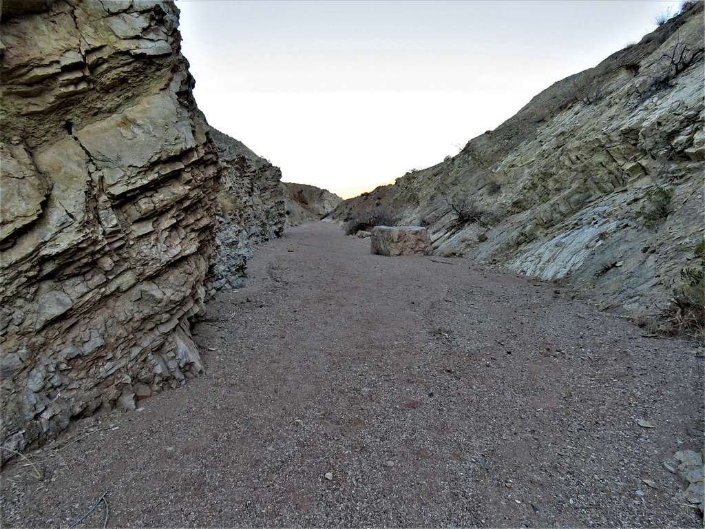
The path soon dropped into a broad dry desert wash which turned into a mini canyon.
I then reached a 20-foot-tall wall. The path in my GPS went directly up the wall. I turned right going into a branch of the wash where I found a trail that went up a slope bypassing the wall putting me back into the original wash.
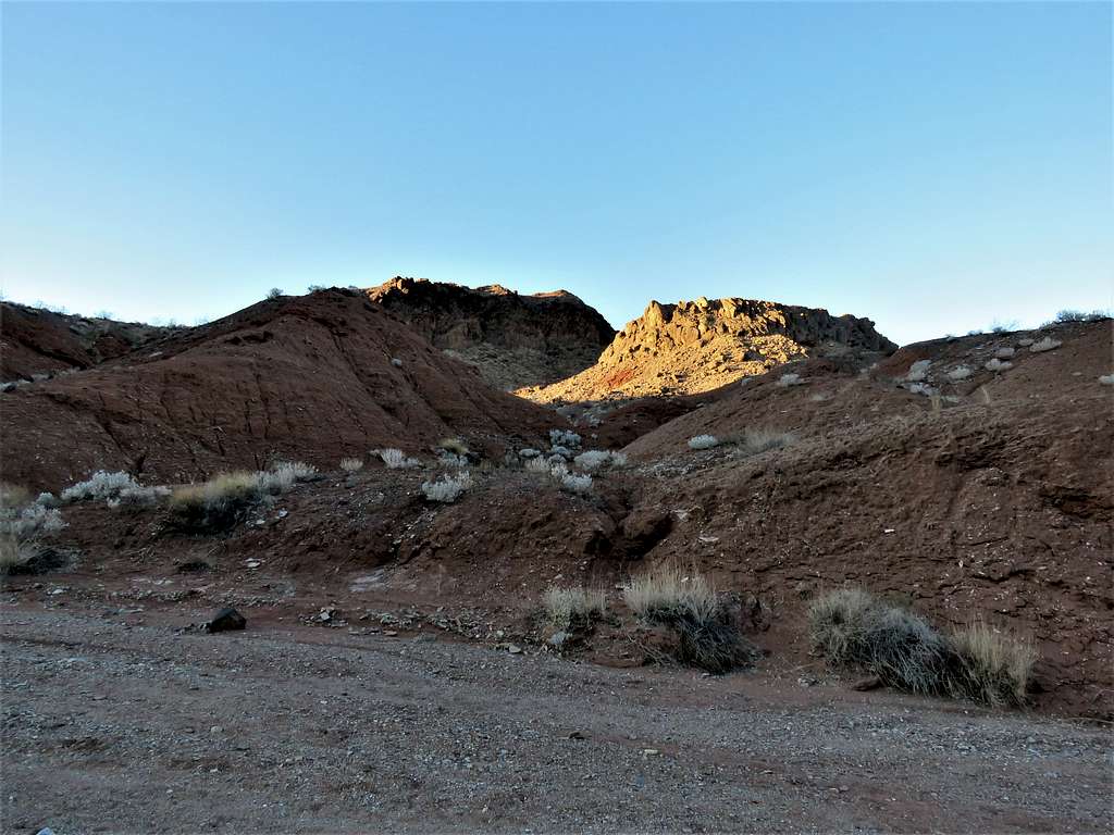
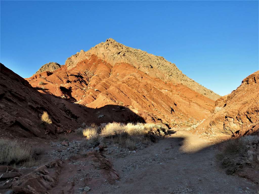
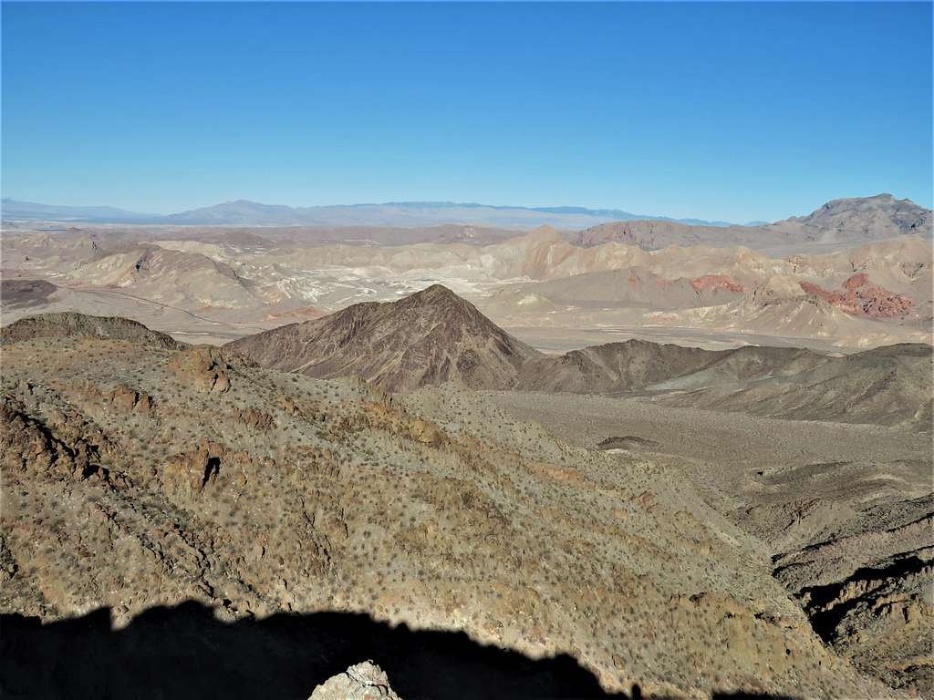
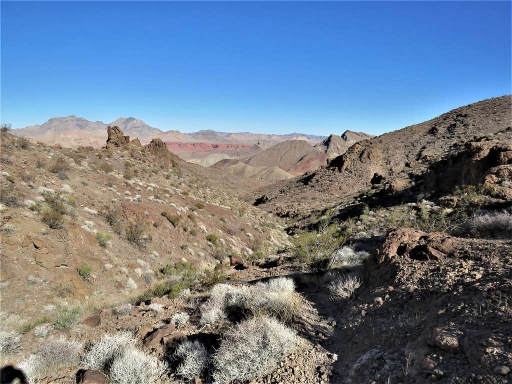
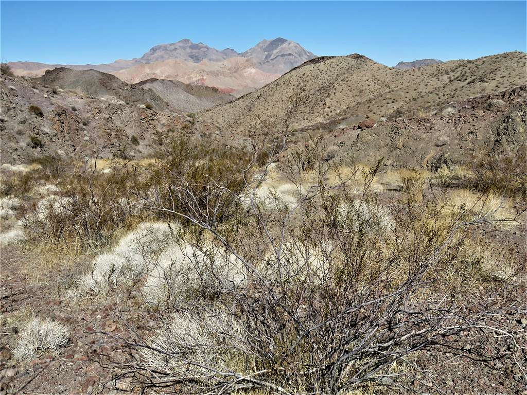
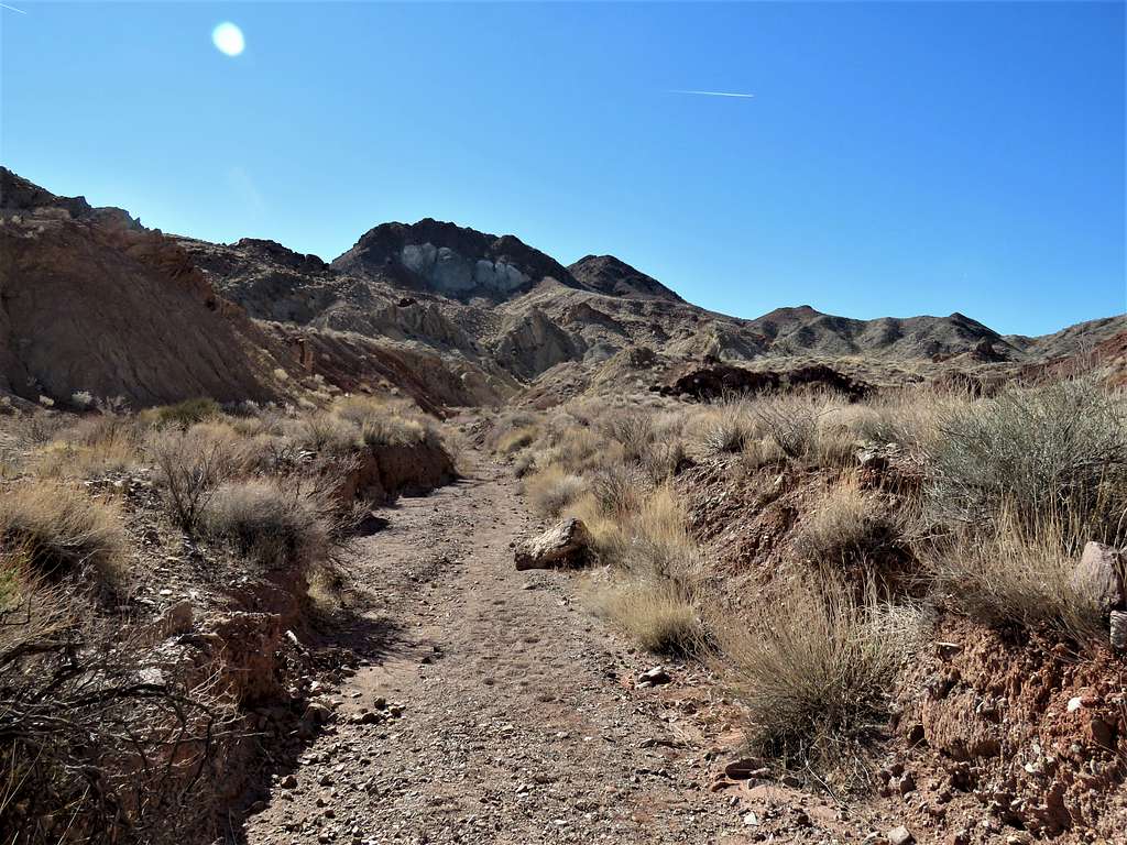
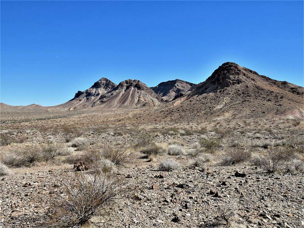
I could see mountains but doubted that they were Hamblin Mountain. Later I identified them as Point 2655 ft and Basalt Peak 2765 ft.
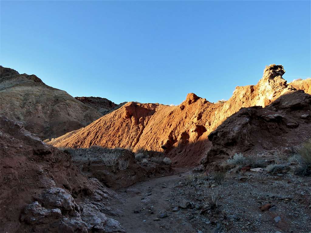
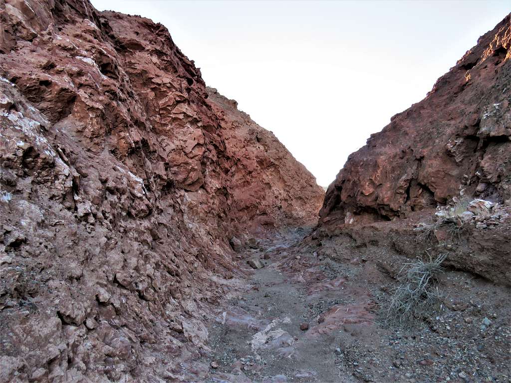
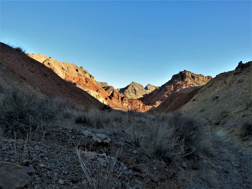
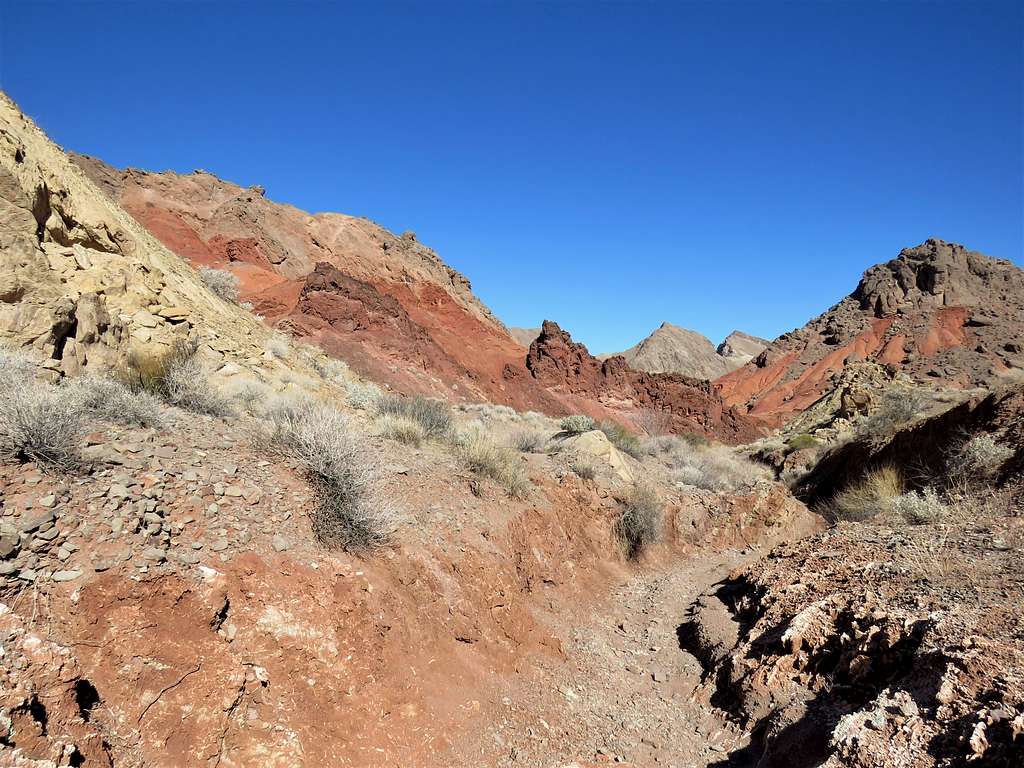
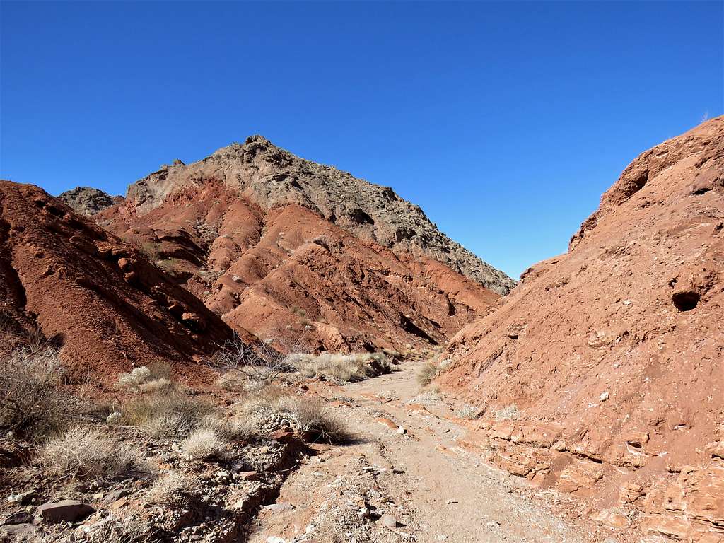
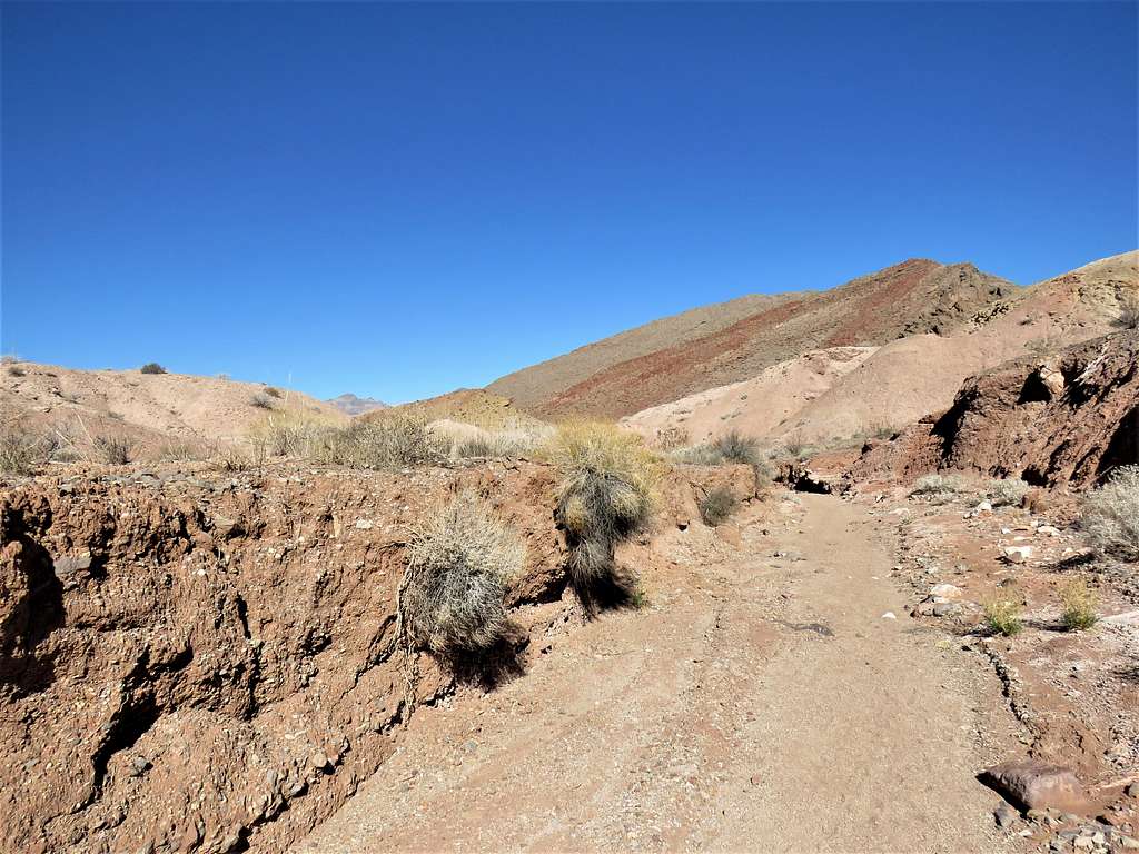
Then came red colored narrows.
At 7:30 a.m., 2.08 miles of hiking and 2290 ft elevation I reached a big split in the wash. There were no signs, but I knew that I had to turn right.
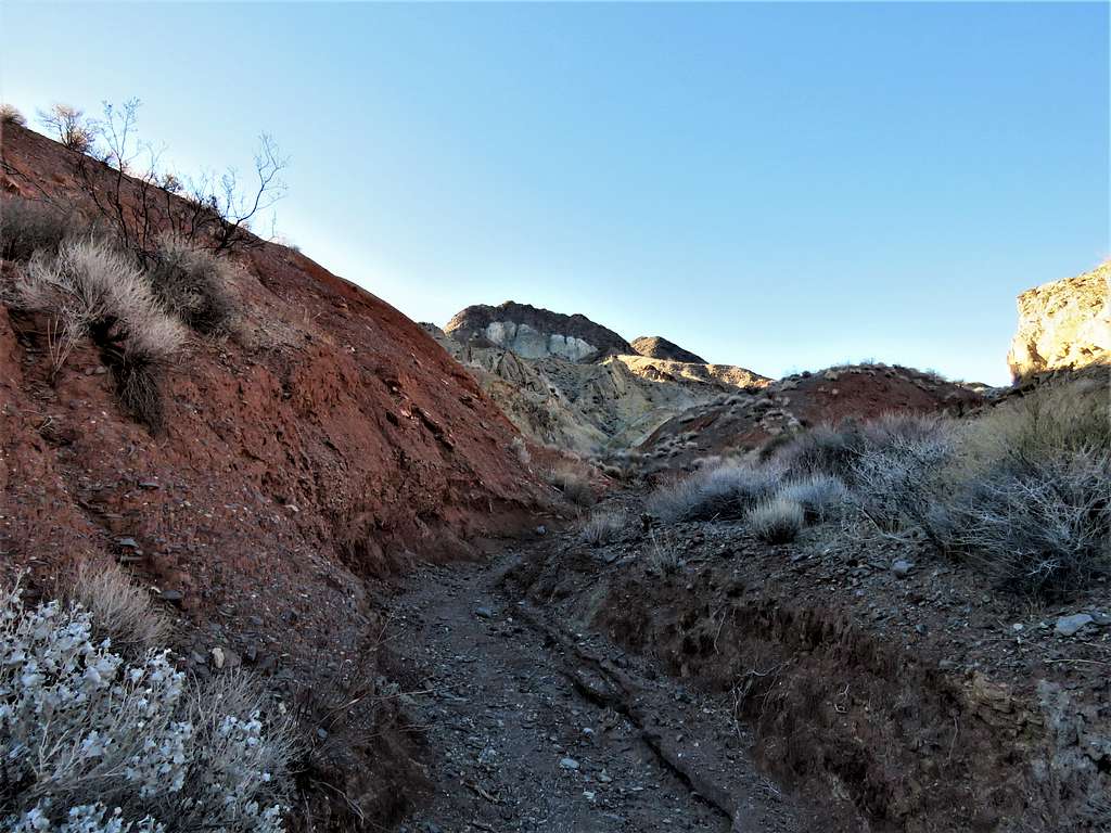
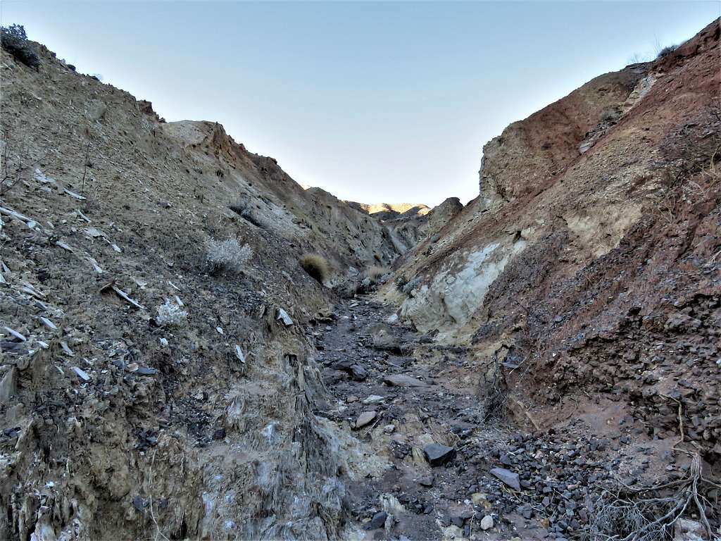
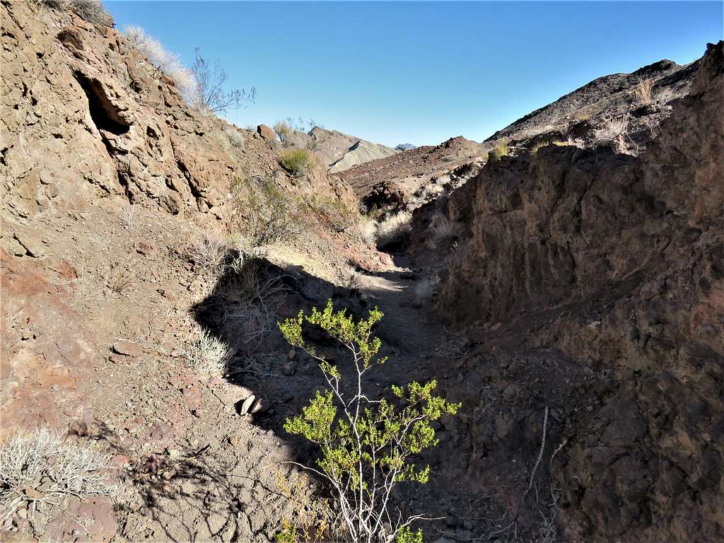
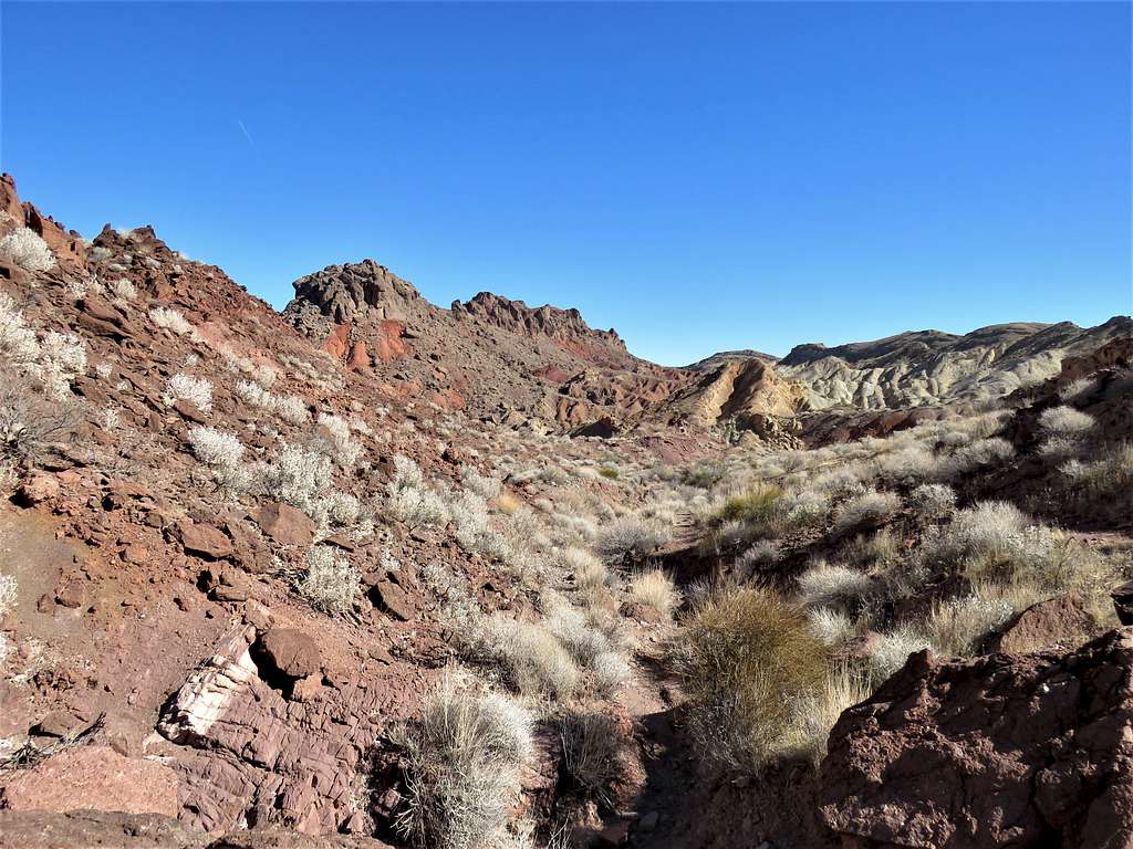
Got into a drainage/small canyon.
At another split, the path in my GPS showed left (later found out that right had been correct). Continued up the left branch of the canyon.
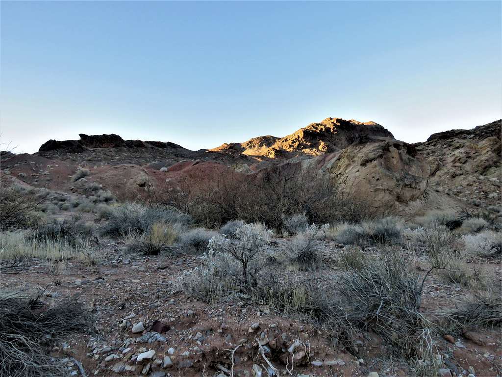
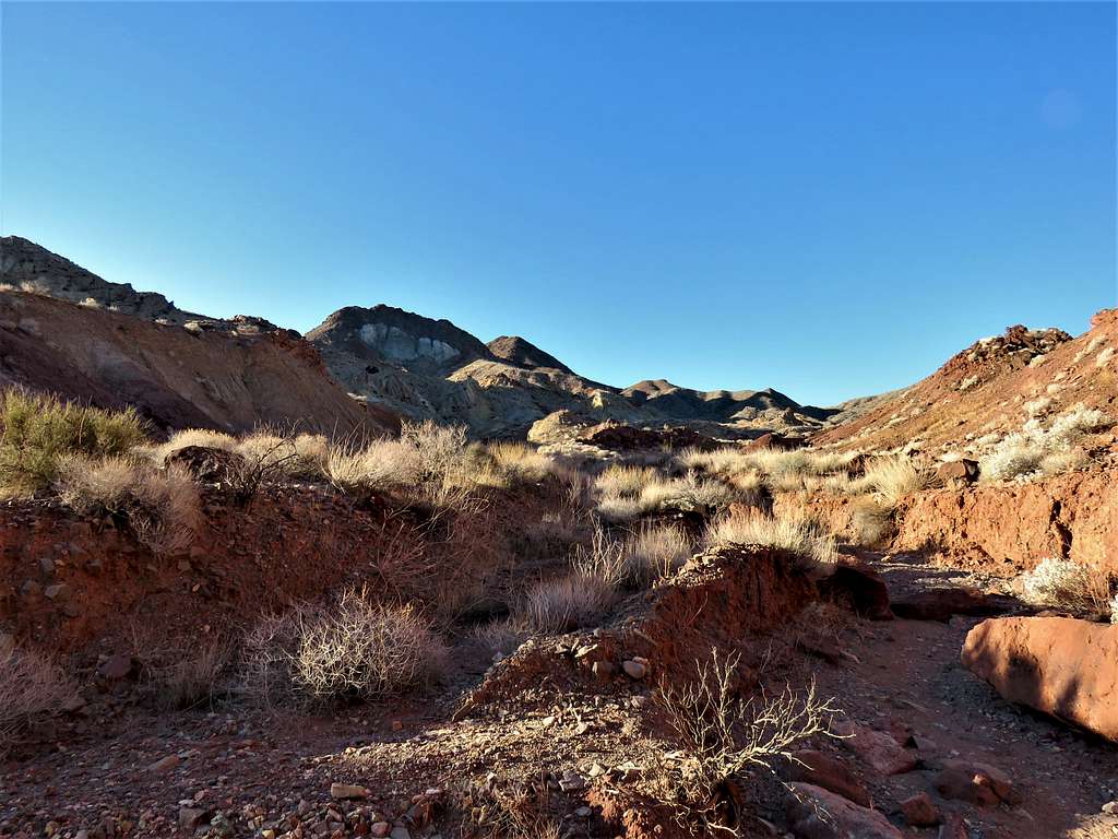
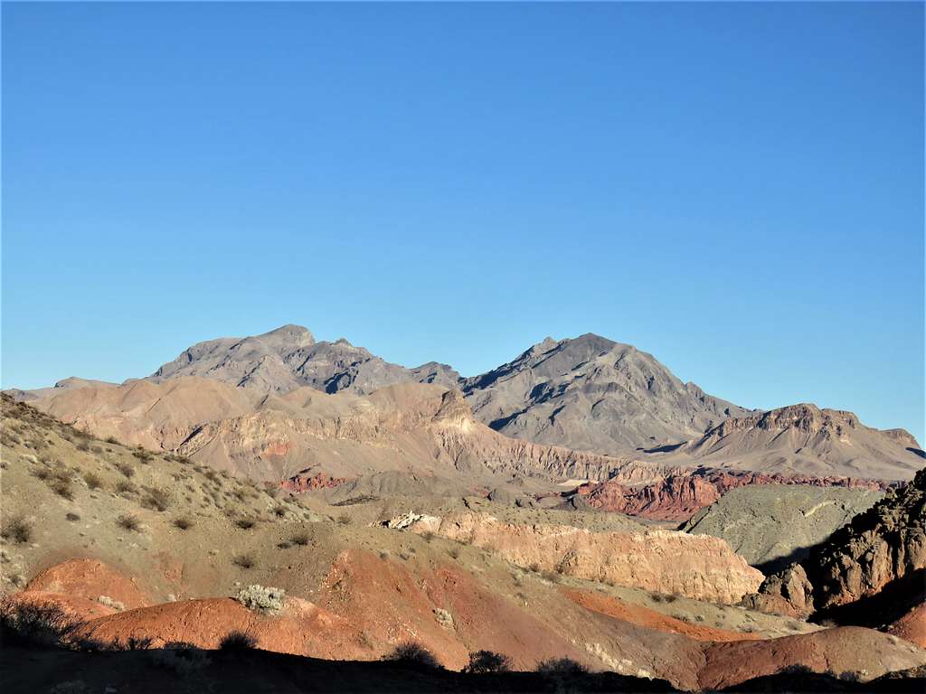
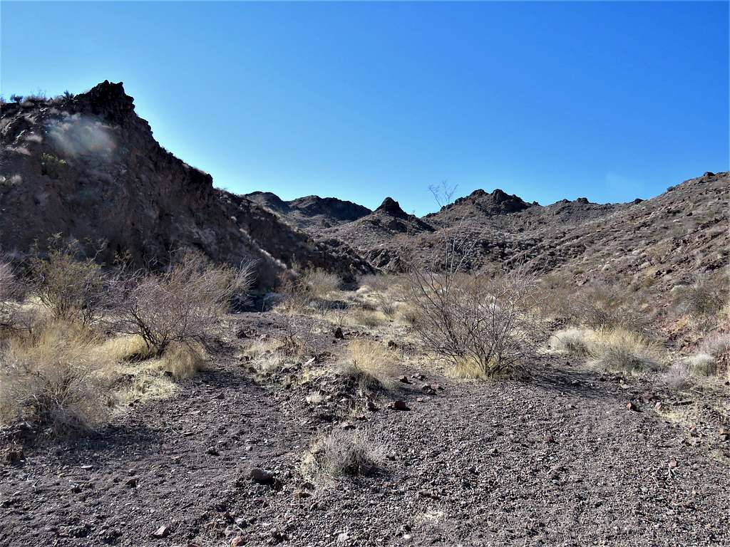
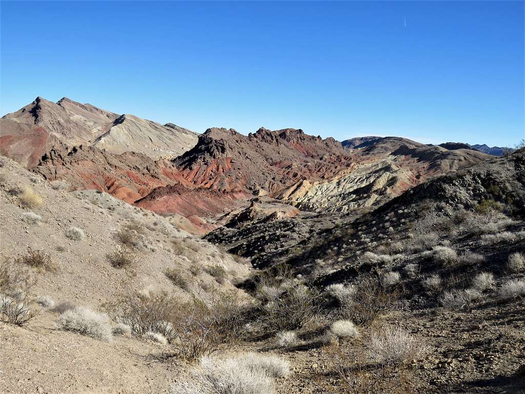
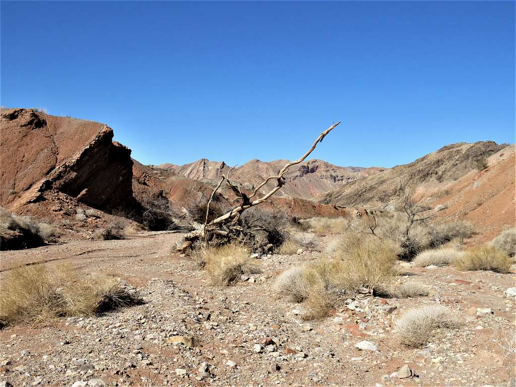
The canyon opened. Great views of Northshore Peak and the Muddy Mountains behind.
Realized that I was going up the wrong place. Traversed right (northwest) and up a ridgeline until I reached a trail where I entered another drainage. Was still hard to say if I was seeing Hamblin Mountain.
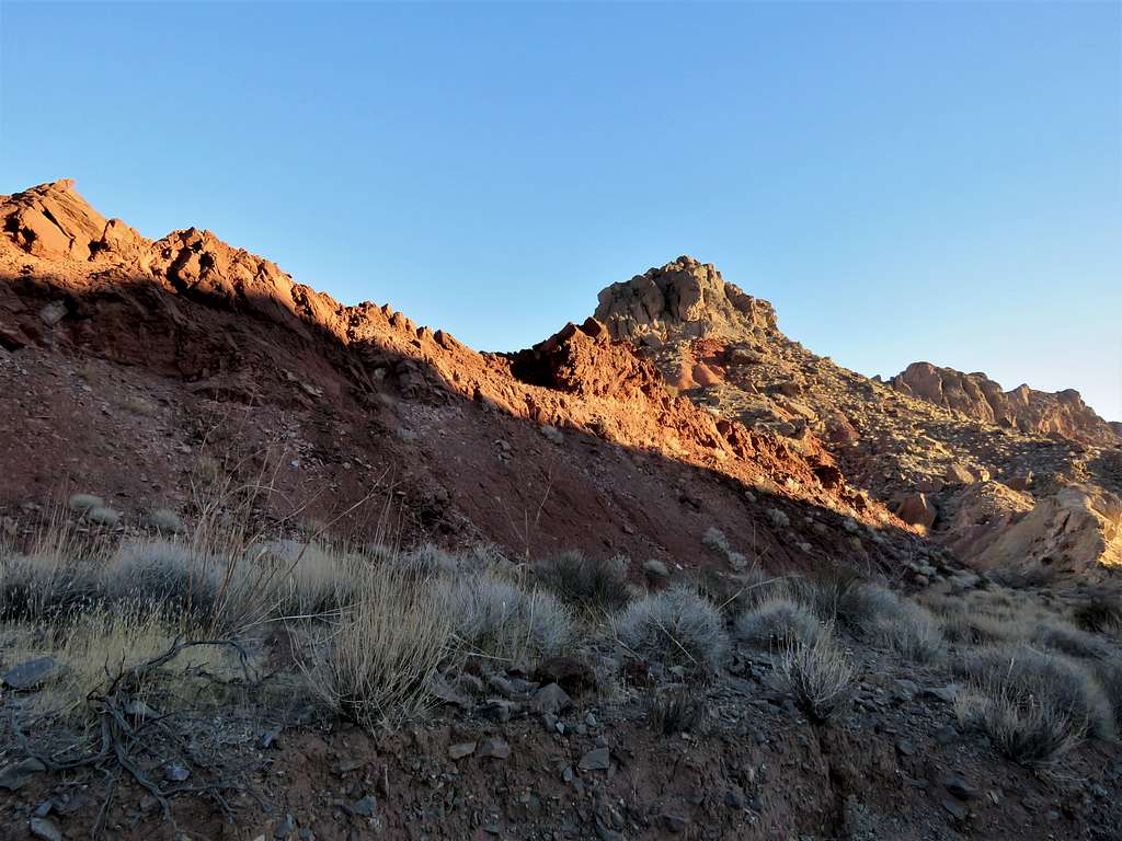
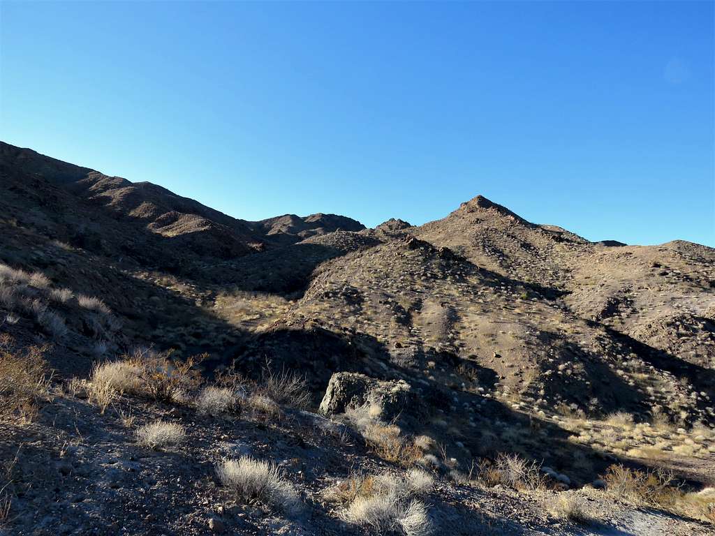
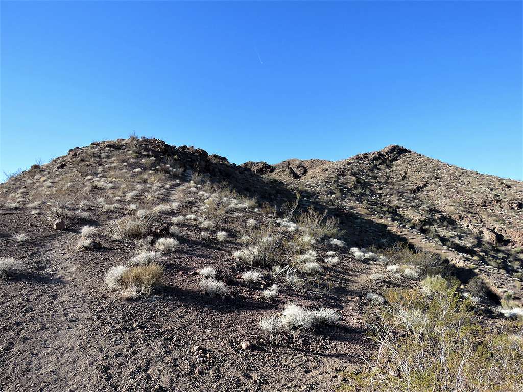
The trail went up the drainage, past a dry waterfall that was easy to climb until it reached a ridgetop where the summit of Hamblin Mountain came to view.
A little higher, I reached the summit of Hamblin Mountain at 8:48 a.m. and 3.9 miles of hiking. Had the whole place to myself.
Zoomed view of Las Vegas and Mt. Charleston to the east/northeast.
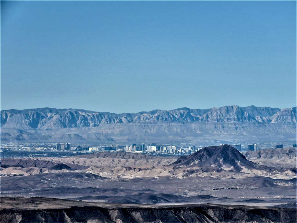
Higher zoom on Las Vegas. Lava Butte seen.
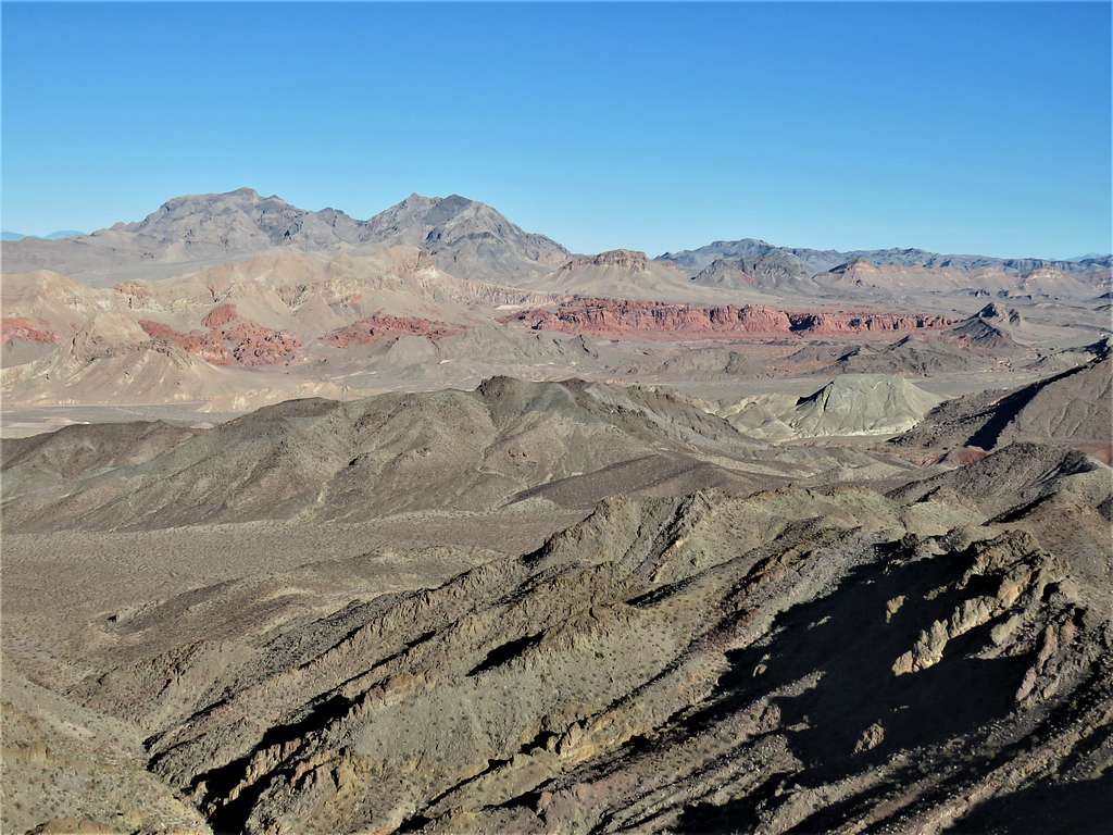
Hamblin Butte and Muddy Benchmark to the northwest.
Muddy Mountains and Bowl of Fire to the north.
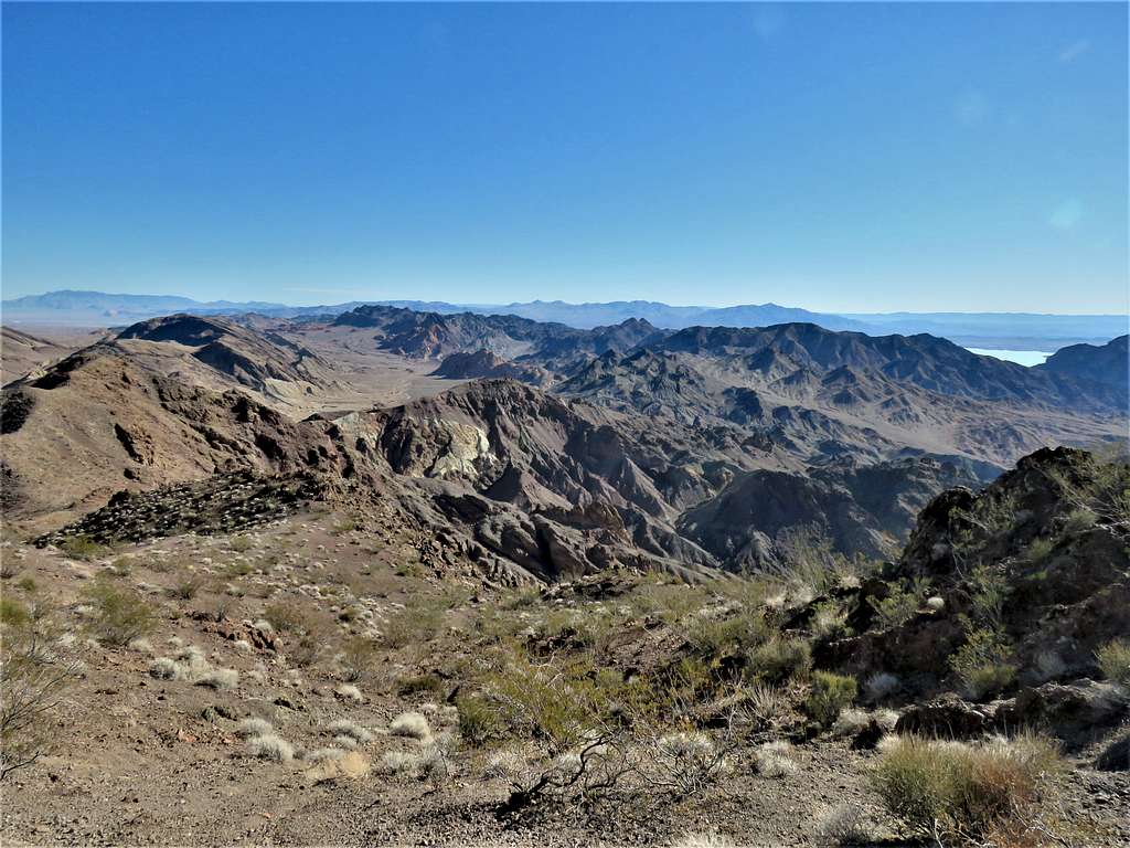
Northshore Peak to the northeast.
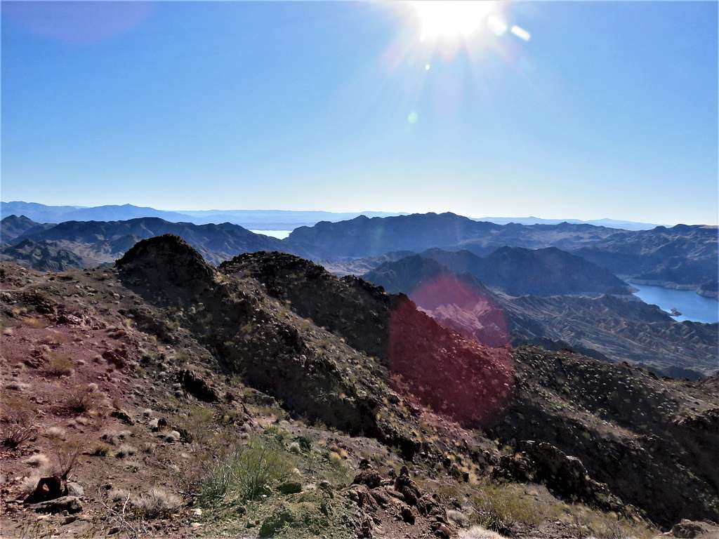
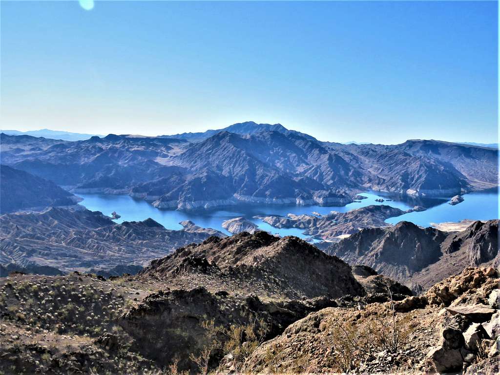
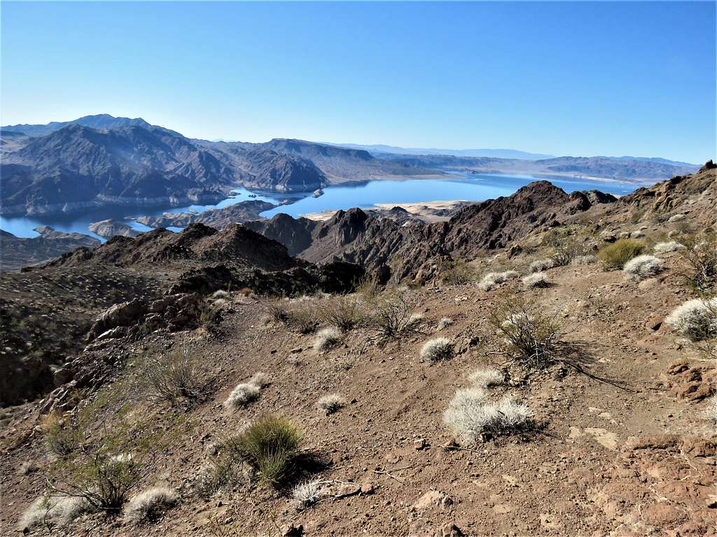
Lake Mead (2300 vertical feet below) to the east/southeast.
Looking south at Lake Mead and Mt. Wilson.
Lake Mead to the southwest.
After eating and enjoying the views, I left at 9:30 a.m. View east just below the summit.
Muddy Mountains, Northshore Peak and Bowl of Fire.
Was then following the trail down the upper drainage. Right at the dry waterfall, I reached a group of 5 people who were hiking up. At first glance, I thought they looked old but then I thought that they were probably no older than me, darn! They were the only people I saw all day.
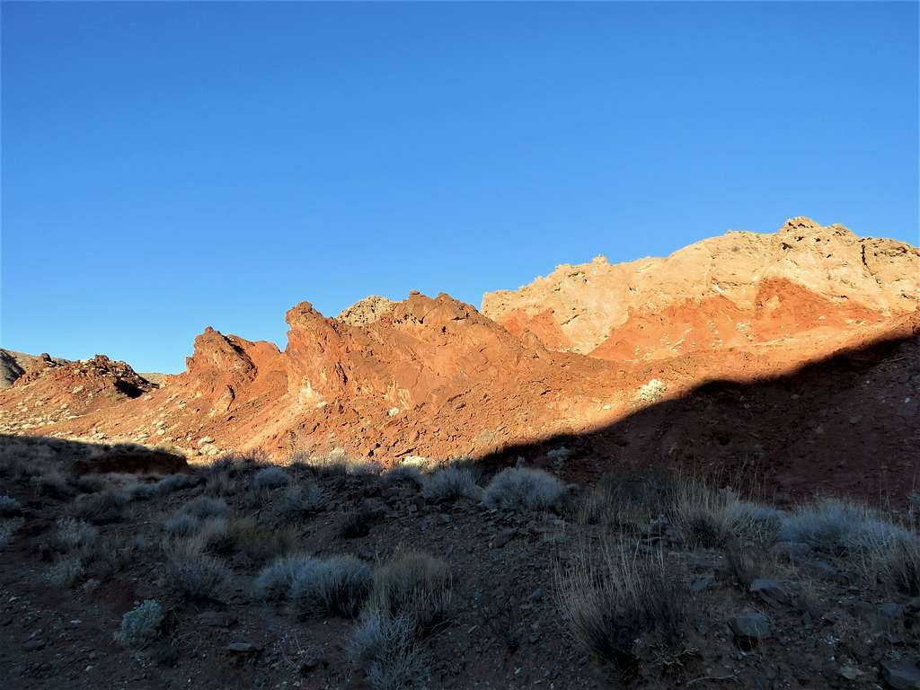
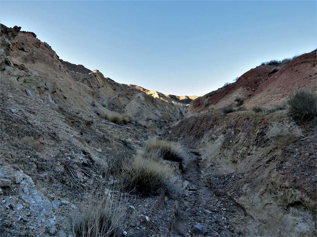
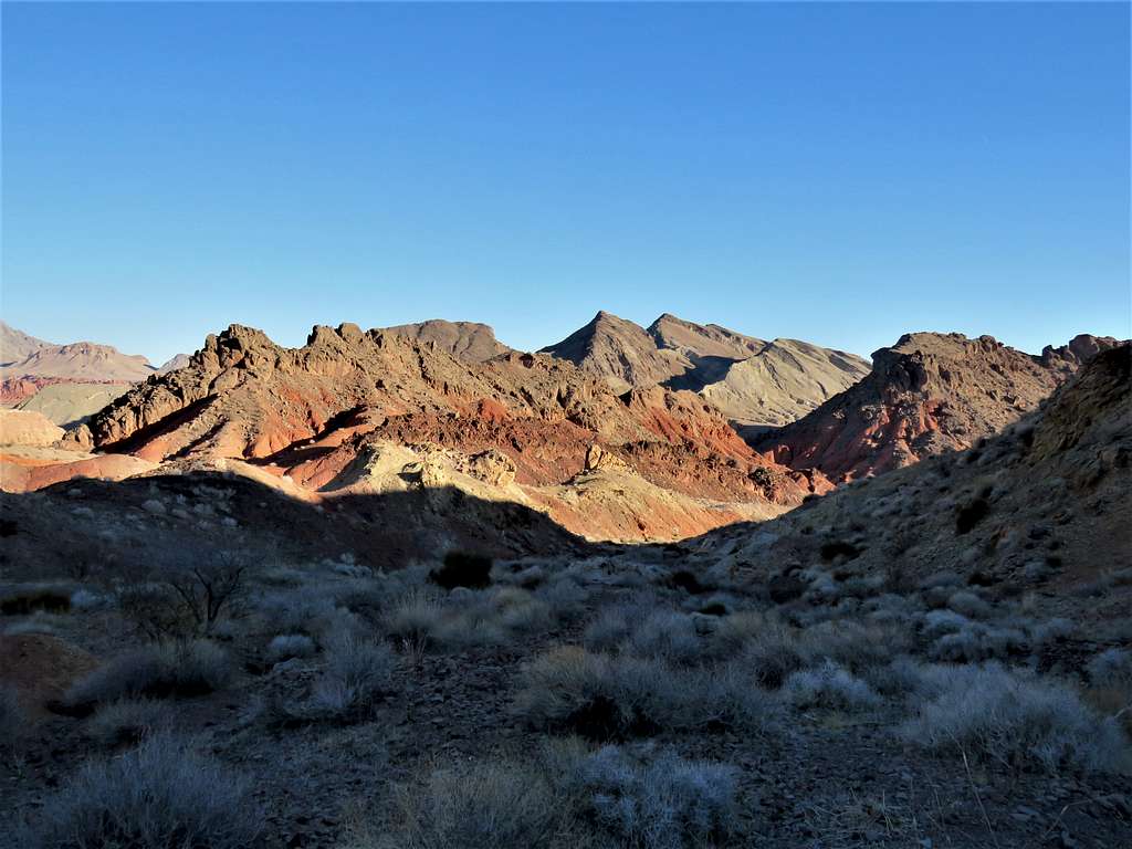
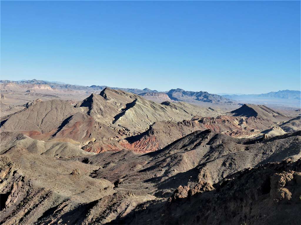
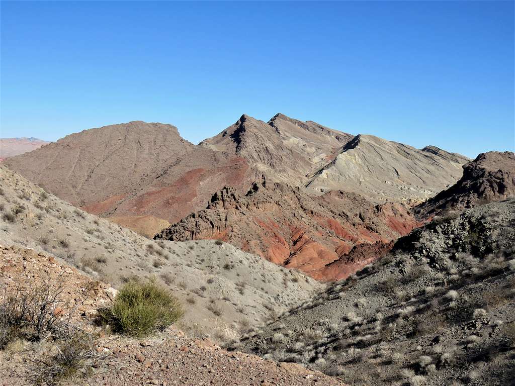
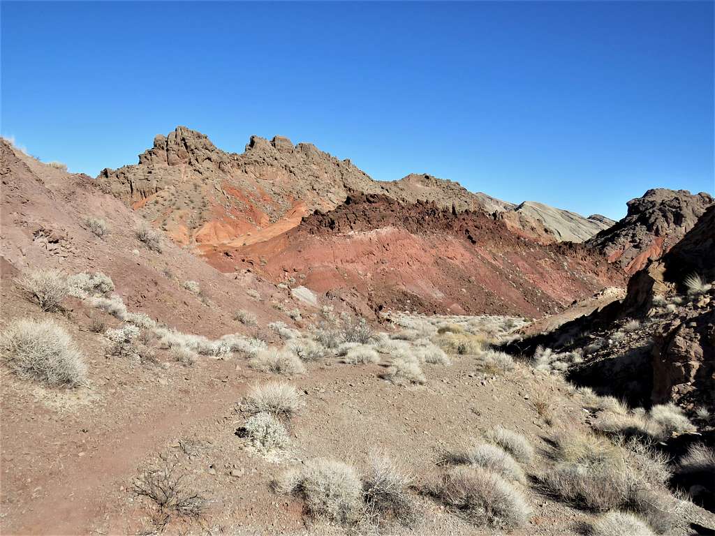
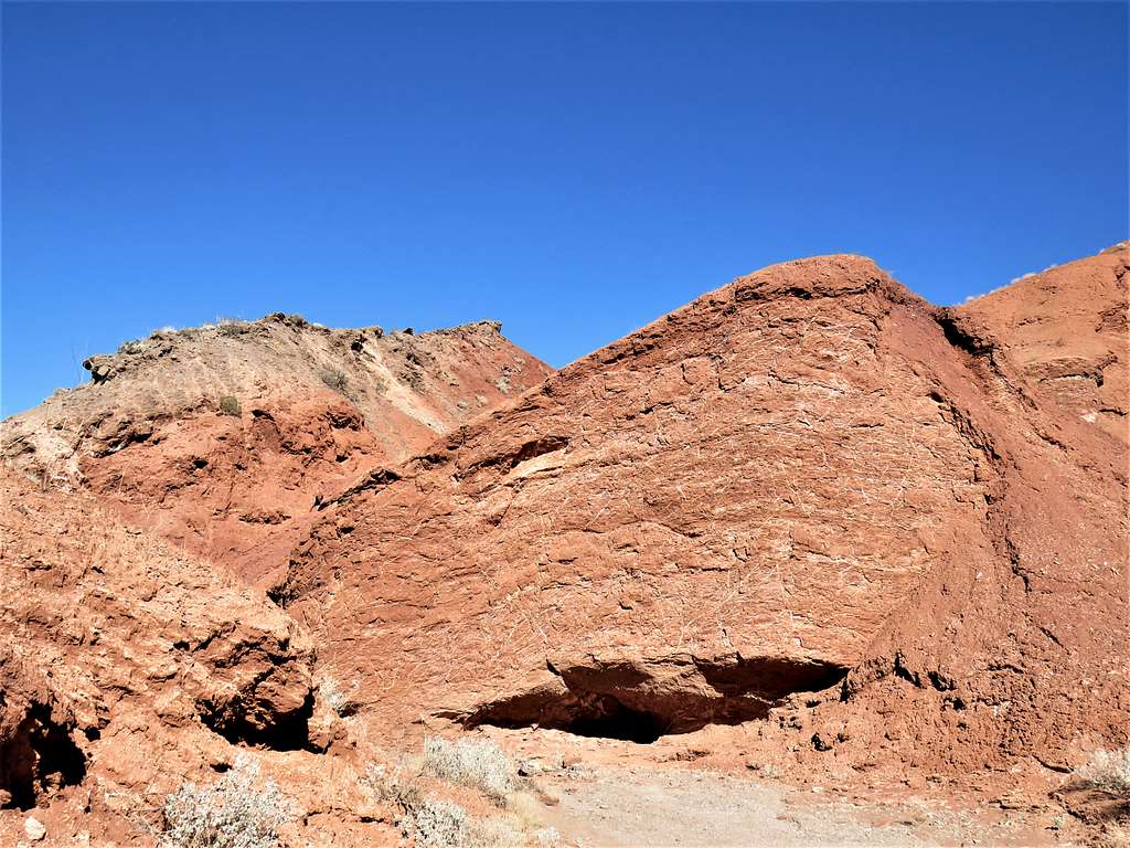
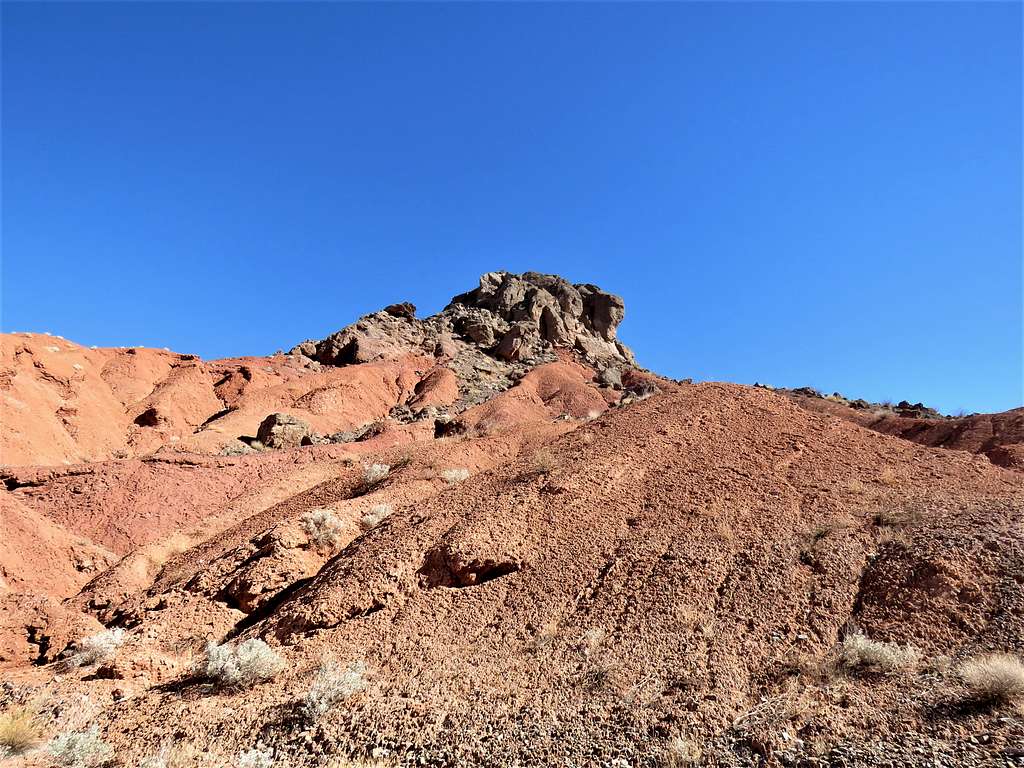
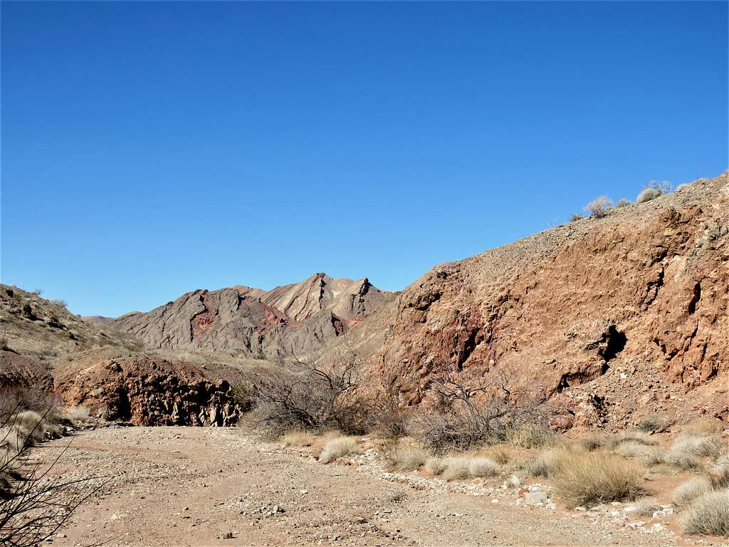
I was then at the top of the place where I had come up the wrong way. This time, I went down into the correct drainage. With the sun up, the colorful slopes looked breathtakingly beautiful.
In the canyon.
Sat to drink water and eat before entering the lower red canyon.
Dry wash.
Exited the dry wash and was back on the desert floor walking toward my car. View of Northshore Peak.
Reached my car at 11:38 a.m. and 7.64 miles of hiking. It was a beautiful day with temperatures going into the mid-70s degrees F.