
Comments
No comments posted yet.
|
|
Trip Report |
|---|---|
|
|
42.59450°N / 115.9938°W |
|
|
Download GPX » View Route on Map |
|
|
Apr 26, 2021 |
|
|
Hiking |
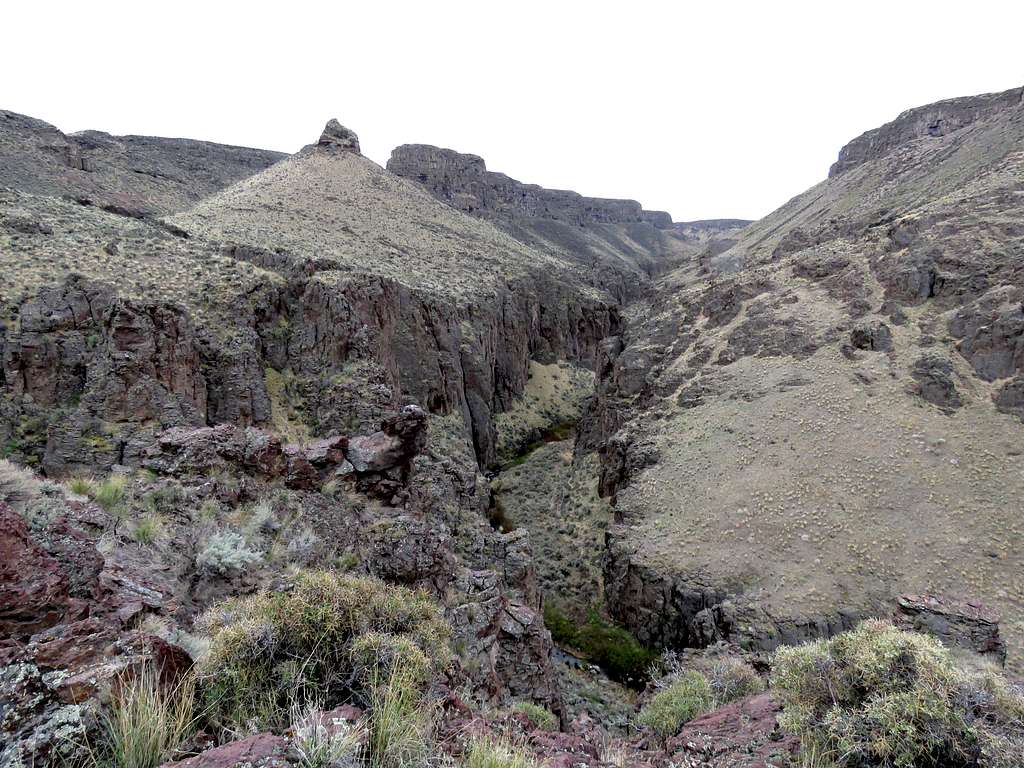
Big Jacks Canyon is one of the many canyons that carve the high desert plateaus of southwestern Idaho’s Owyhee County. Reaching the canyon requires driving on dirt roads. On the internet, I had found a short trail named Parkers Trail that went down 500 vertical feet to reach the bottom of the canyon. Once at the bottom of the canyon, as I had suspected, it appeared to me that hiking at the bottom would have required bushwhacking and repeated crossings of the stream. I had figured that the best views could be found from the top looking down into the canyon. For that reason, I went back up the trail, left the trail and followed the eastern rim of the canyon north until I reached a big side canyon that impeded further hiking along the rim.
Hike Length: 6.15 miles
Maximum Elevation: 4655 ft
Minimum Elevation: 4080 ft
Total Ascent: 1080 ft
When I had gone to bed the previous night, forecast for the town of Bruneau, Idaho had called for higher chance of rain until 10 a.m. and then lesser chance until 2 p.m. I had planned to get up late and do my hike during the 4 hours with the lesser chance of rain. Happened to wake up in the vacation rental house east of Grand View, Idaho at 6 a.m. and saw that the forecast had changed to higher chance of rain after 10 a.m.. I decided to leave then and at least make it to the bottom of the canyon, before I would get rained on.
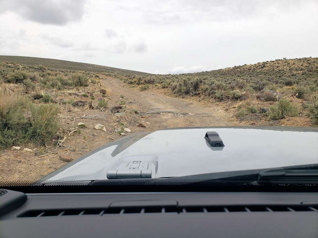
Left home when it was 43 degrees F and was slowly raining. Drove a few miles east on Route 78 and turned onto Route 51 South. After 7 miles on the road, farms ended and the road began to go up hills covered with sage or yellow grass. Rain fortunately stopped. I did not see a single other vehicle on that section of the road. Did not see any other people or vehicles until the end of the day when I was back on Route 51. 25 miles after the junction of Routes 78 and 51, south of mile marker 45, I turned west onto a nameless gravel road that had a decent surface without any potholes. Went 5 miles then turned north onto a two track dirt road which had a much rougher surface. My rental Jeep Wrangler did well without any need for 4 wheel drive. After 2.6 miles on the two track, I reached the start of Parkers Trail. There were no signs there and without paying attention, I could have easily missed it.
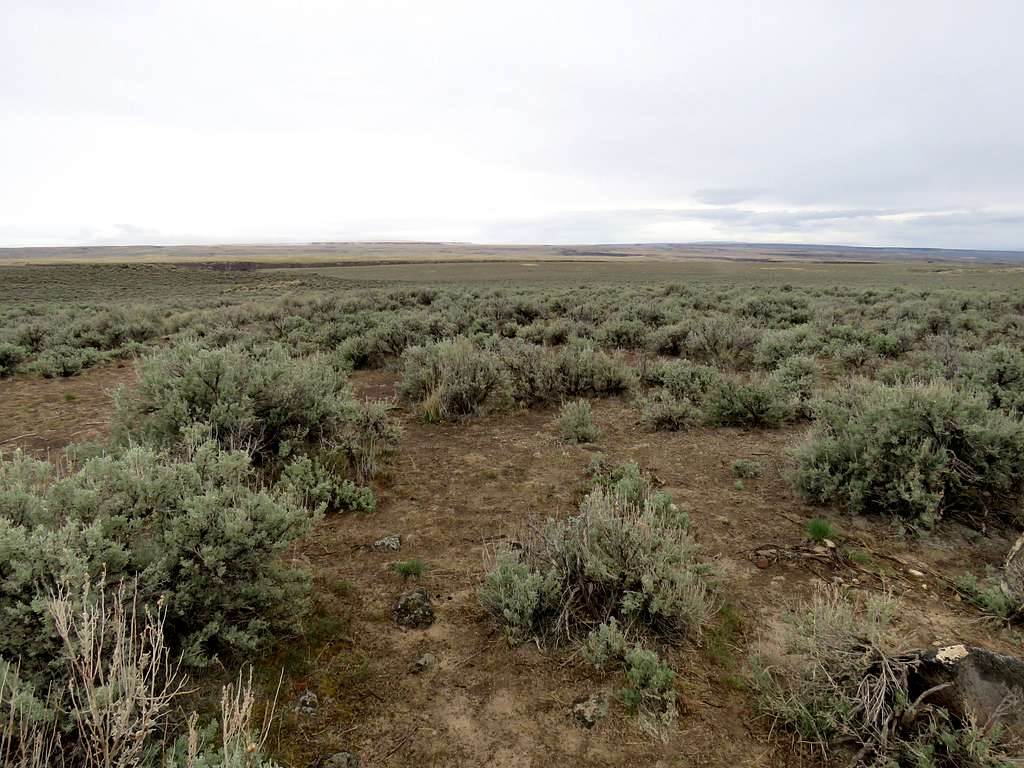
I was on a sage covered plain. Started my hike at 7:50 a.m. Temperature had dropped to 34 degrees F but it was not raining.
Followed the trail, which was an old dirt road turned into trail, west on the surface of the plain. Entered a drainage and after 0.75 miles, reached the edge of the canyon. A wire fence without any signs crossed the trail. It was easy for a person to slip under the fence so I thought it was there to keep the cattle out.
Slipped under the fence and continued down the well-established trail to a lower plateau.
I was then zigzagging down the final section.
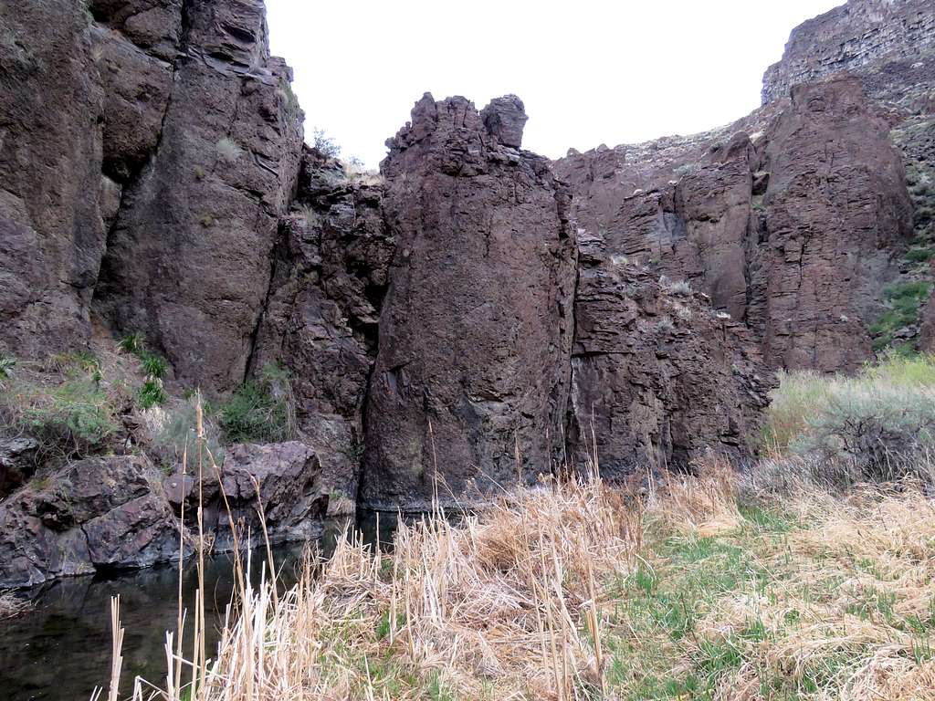
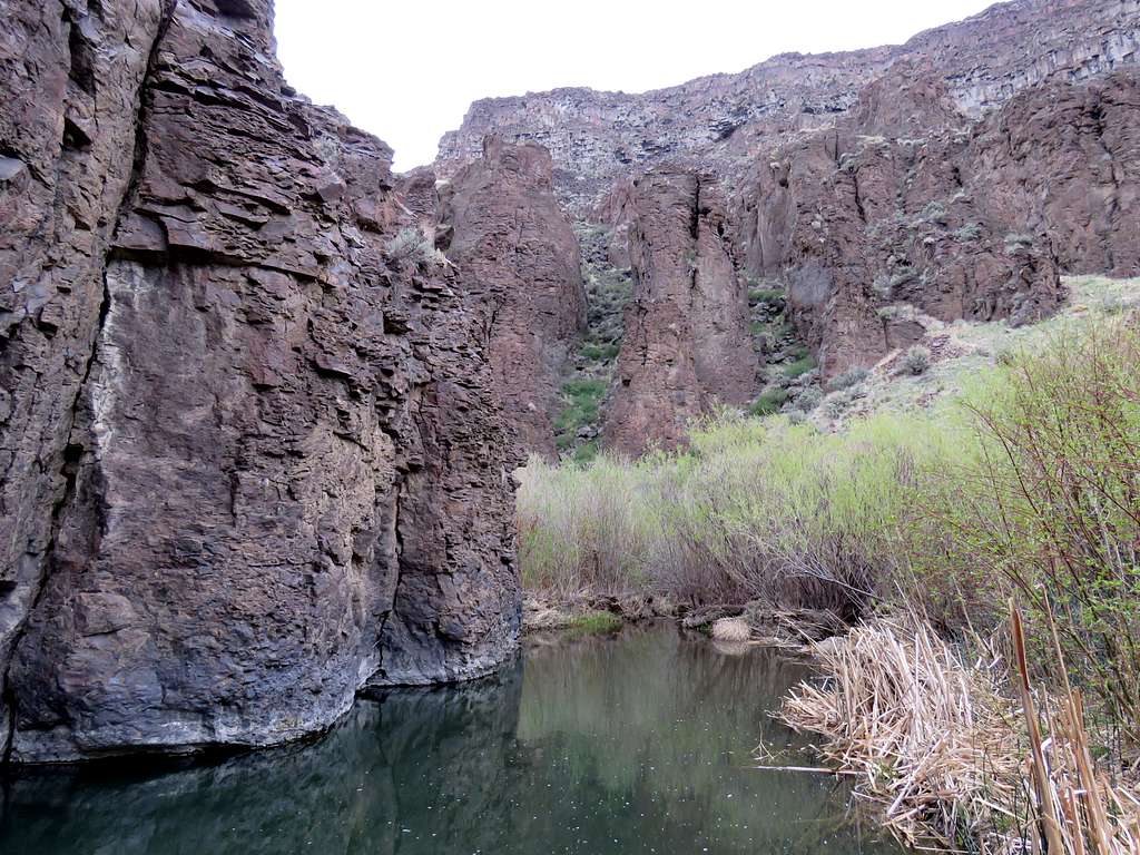
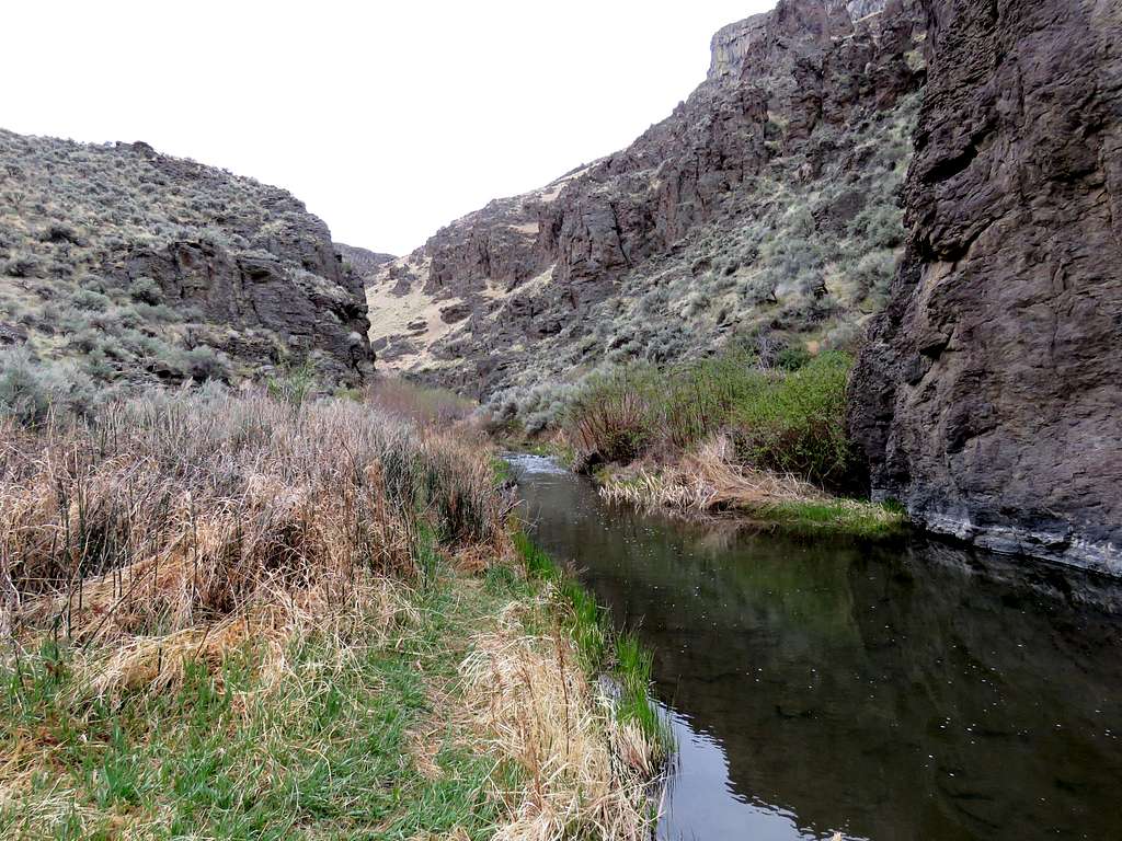
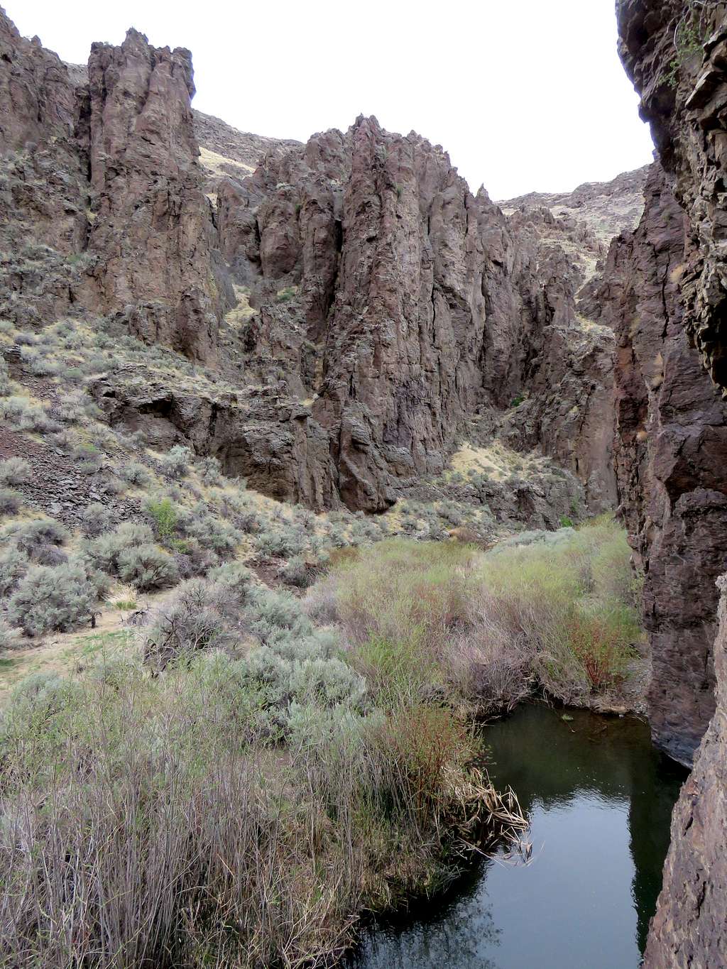
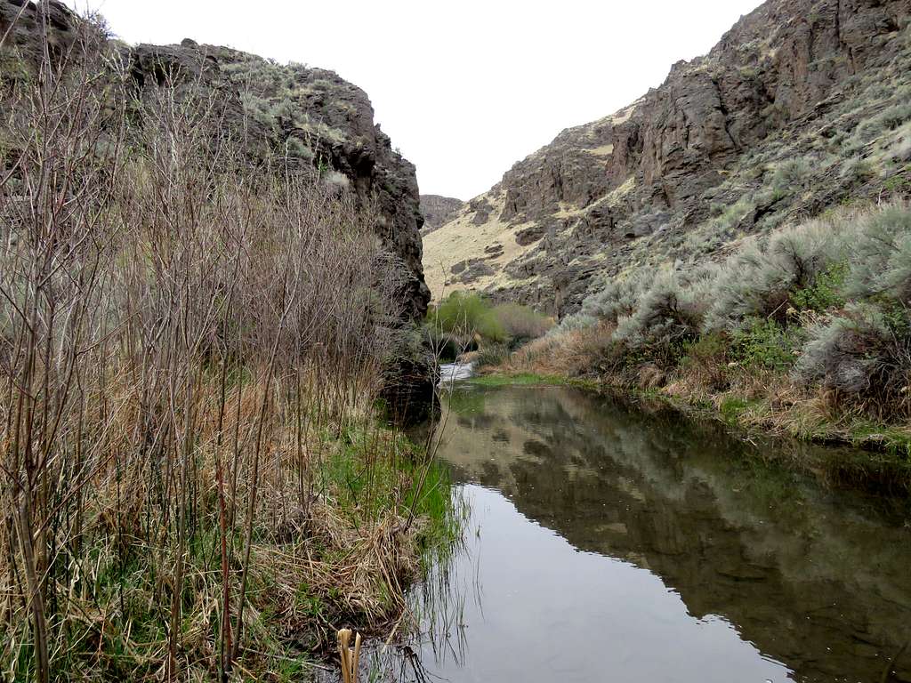
Reached the stream at the bottom at 8:36 a.m., 1.62 miles and 4080 ft elevation.
Went a short distance north to the top of a cliff. At the bottom of the cliff, I could have hopped to the other side of the stream but my plan was to go back up to the rim.
Went a little south where the stream was too wide to cross.
Left at 8:56 a.m. and went back up the trail. Once beyond the fence, I left trail, went up a slope to reach the top of the plateau and then turned west going to reach the edge of the canyon.
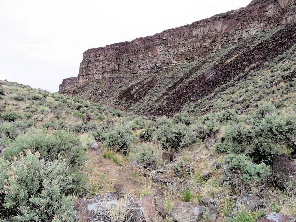
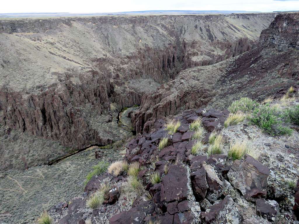
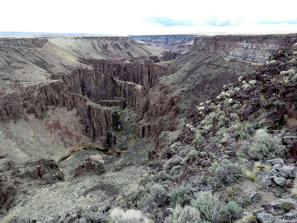
Turned north and began to follow the eastern rim of the canyon. A cold wind often blew on the rim.
I could then see the lower parts of the trail zigzagging down to the bottom of the canyon.
For a 5 minute period, a couple of military jets from the nearby air force base appeared in the sky on and off. By the time I tried to zoom on them each time, they had been already lost in the clouds.
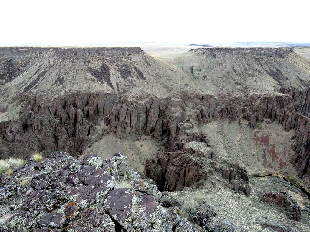
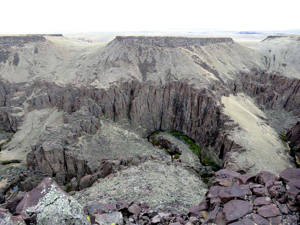
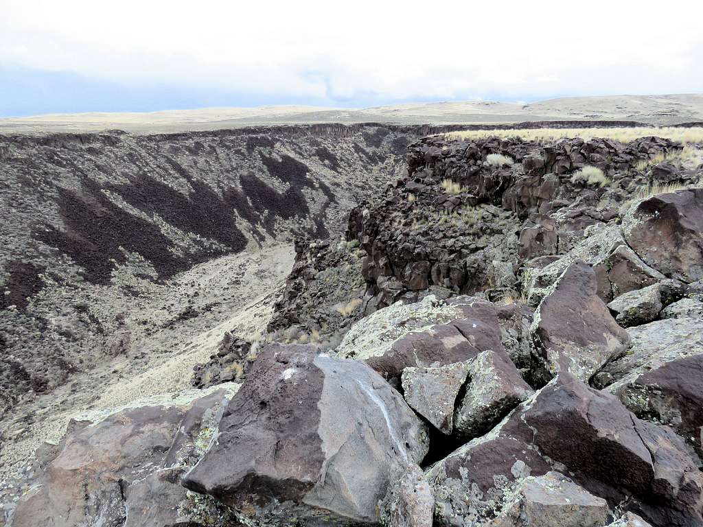
More views of the canyon.
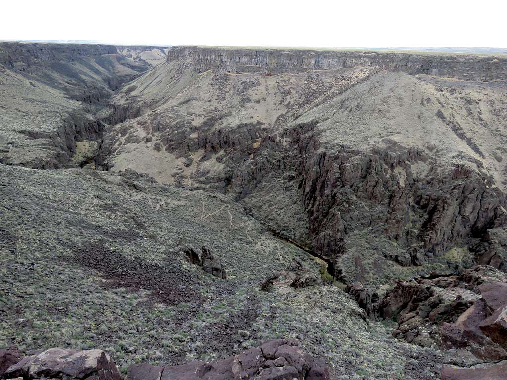
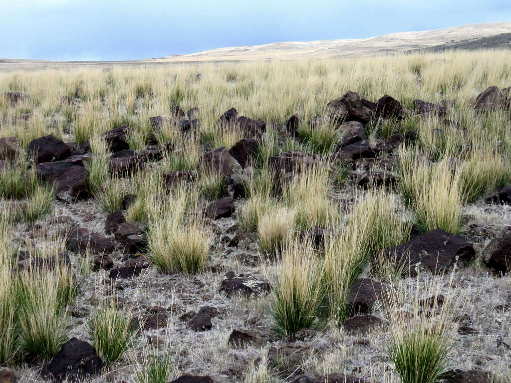
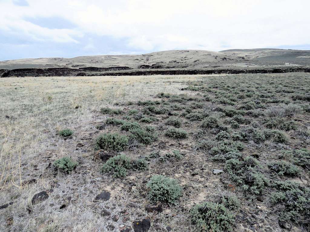
Beautiful grassy plateau.
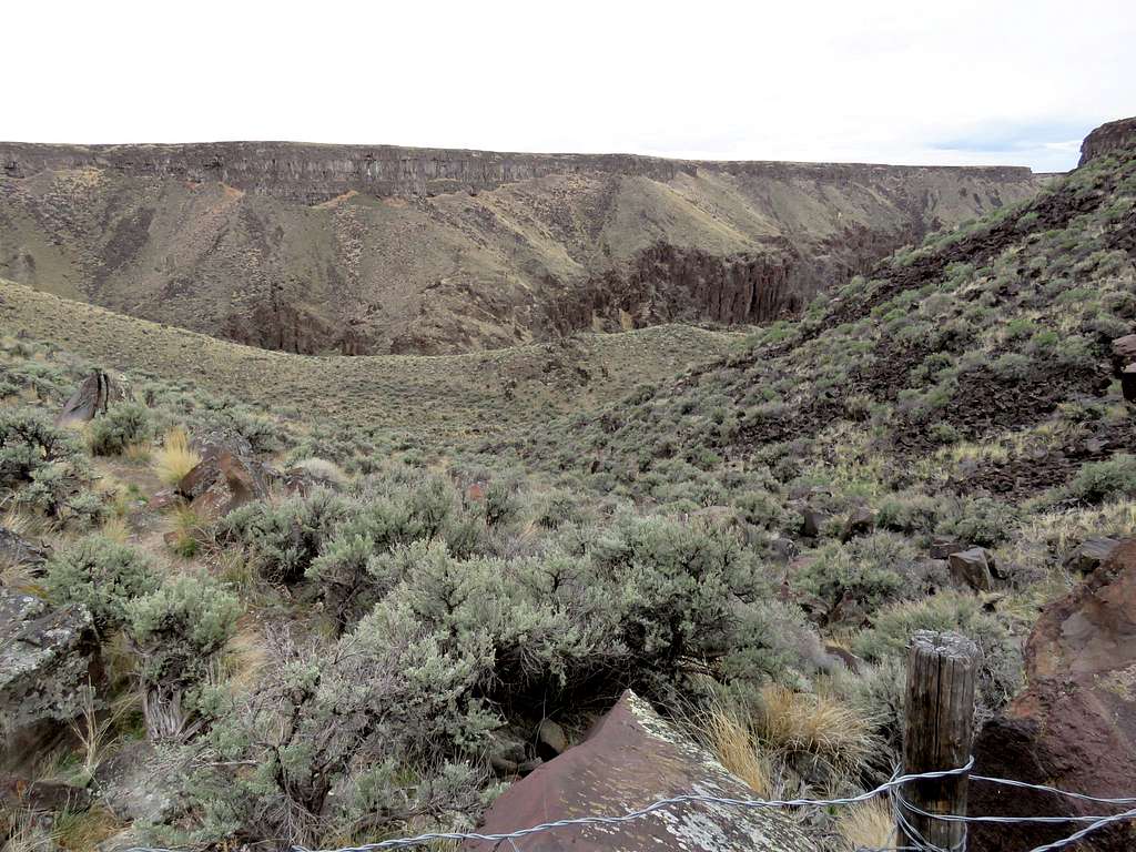
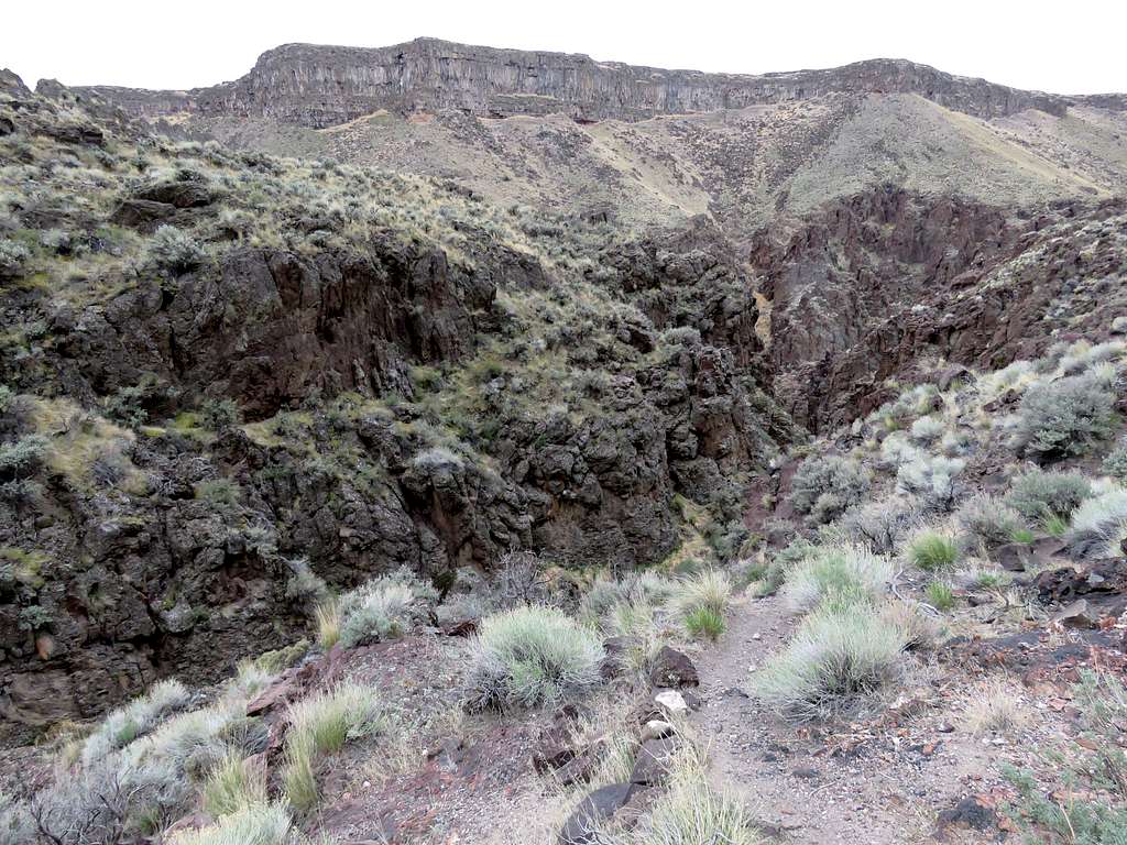
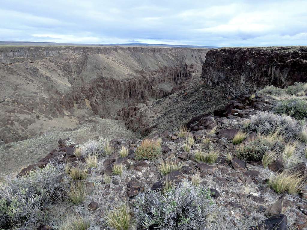
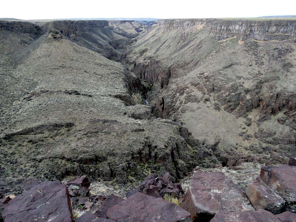
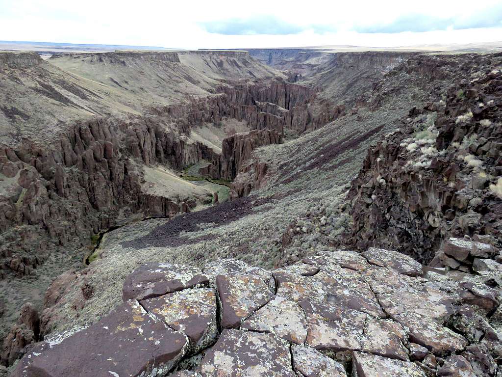
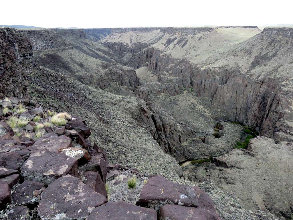
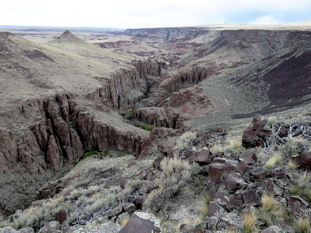
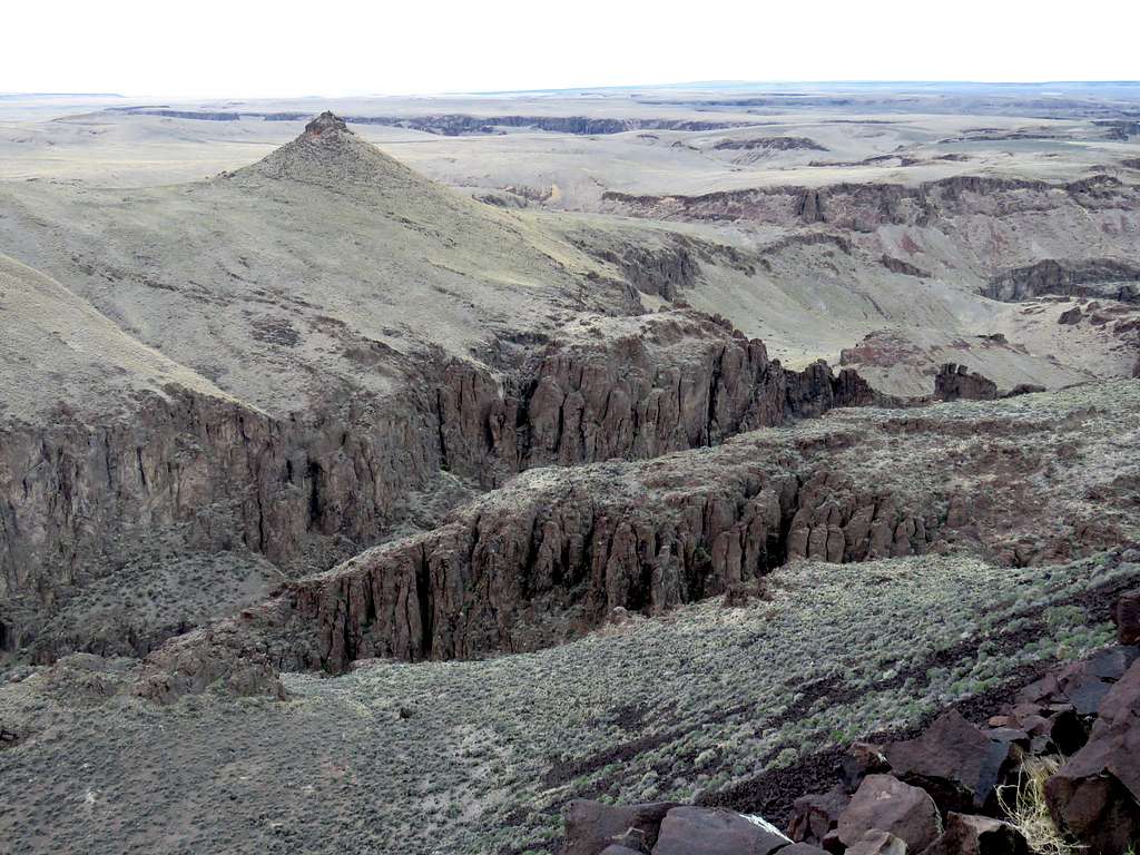
At 10:37 a.m., 4.28 miles and 4490 ft elevation, I reached the confluence of a large side canyon. When planning the hike, I had measured that going around the side canyon and its branches to continue north along the rim of the main canyon would have taken 3 miles, so I had planned to return at that point. View of side canyon.
View of main canyon.
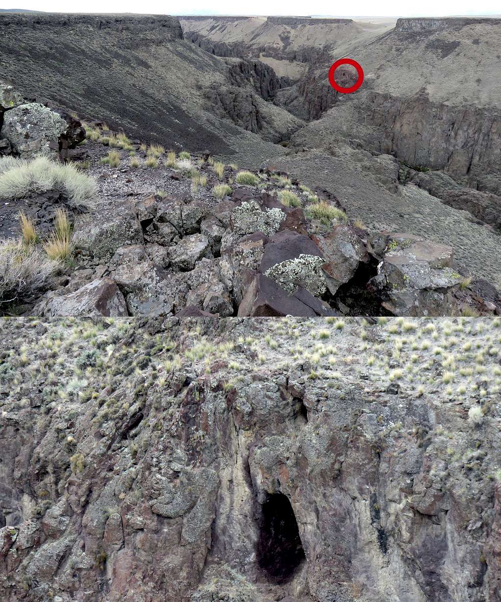
Sat there to have lunch and enjoy the views but a cold wind was blowing so I had to hide behind a rock. Could see a cave in the distant wall of the canyon. Took a picture and then a zoomed picture.
I then turned south and began to hike the surface of the plateau back toward where I had parked. Did not go to the edge of the canyon any more. The sudden change from grassy plateau to the sage covered plateau was rather odd.
Made it back to the Jeep at 11:42 a.m. It had climbed to 43 degrees F. I was thankful that it did not rain on me.
Driving back, everything looked pretty and radio was playing good music putting me in a good mood.