-
 345 Hits
-
 77.48% Score
-
 8 Votes
|
|
Canyon |
|---|---|
|
|
47.27750°N / 11.25312°E |
|
|
Hiking, Sport Climbing, Bouldering |
|
|
Spring, Summer, Fall |
|
|
Overview
The south slopes of Karwendel above the town of Innsbruck host some interesting canyons. I only found out about those during our 2023 august stay at Innsbruck. There is a fantastic baroque music festival at Innsbruck every august and you easily can combine striking operas and concerts with hiking and mountaineering. Nevertheless august 2023 was so hot and summiting some peaks get so exhausting that I looked for some alternatives and there they were: Ehnbachklamm, Kranebittener Klamm and Wolfsklamm, three canyons around Innsbruck, promising shade, adventure and some cool moments.
This article is about Ehnbachklamm. Wolfsklamm is described in another contribution, Kranebittener Klamm waits for us in 2024 – hopefully….
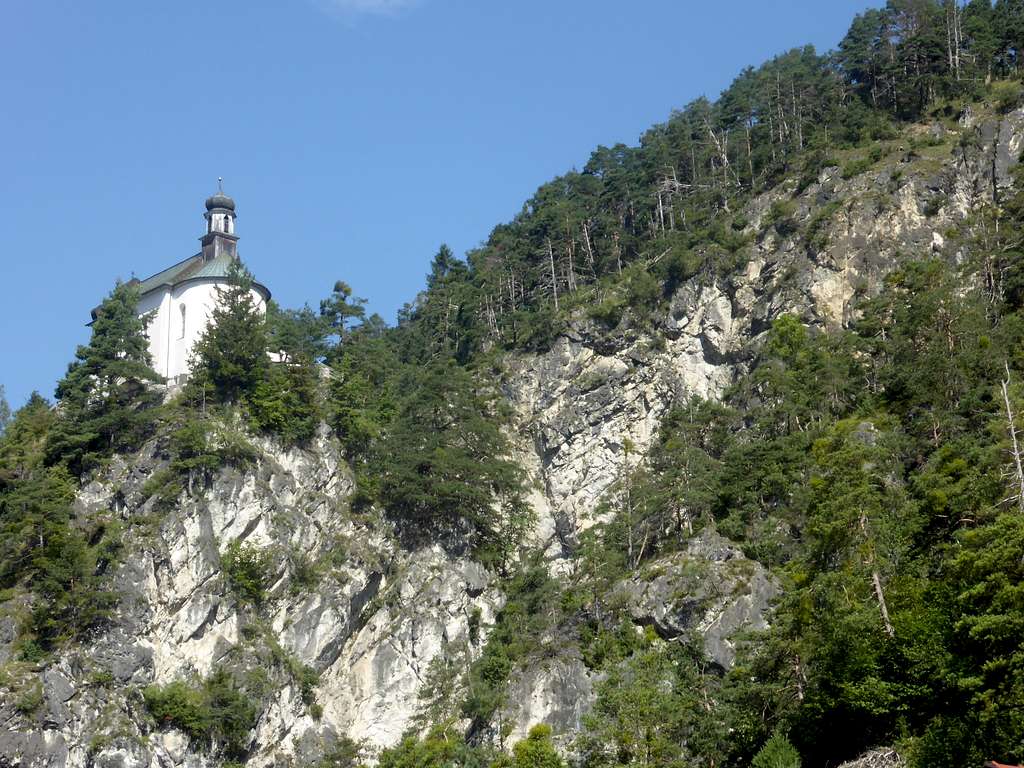
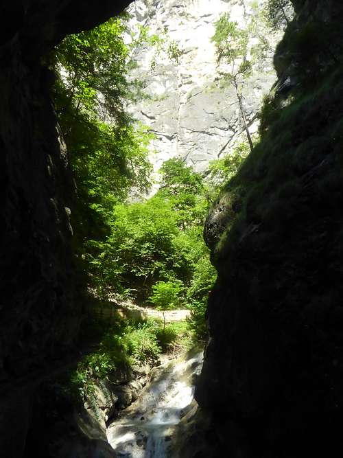
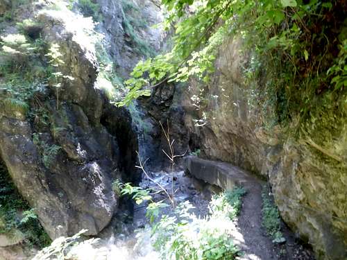
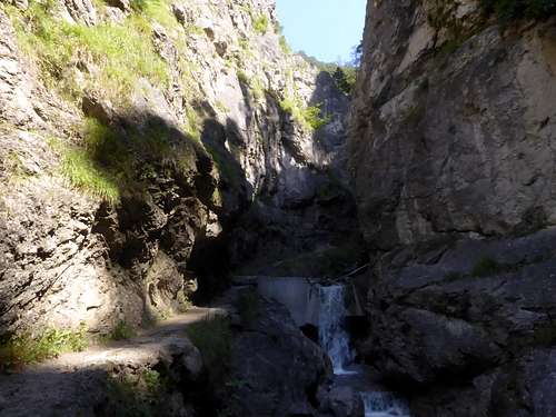
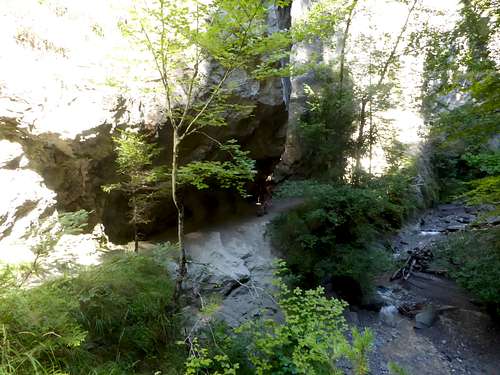
Ehnbachklamm is a short canyon above the village of Zirl, west of Innsbruck. An easy trail makes the canyon accessible and ends at a “Klause”, a logging dam but also a protection of Zirl against flooding and land slides, which came down through the canyon in former times, destroying several times the village of Zirl.
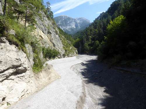
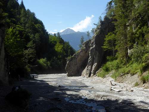
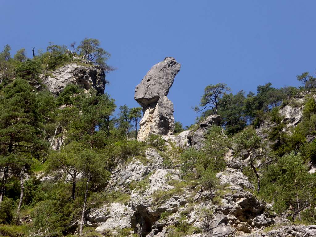
South of the logging dam there is a huge streambed flanked by steep and bizarre rocks which are well known for bouldering and climbing activities.
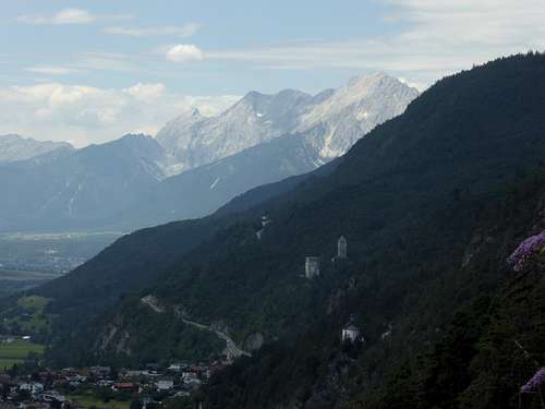
The hike through the canyon is best combined with some other activities. Above Zirl there is a calvary with a chapel and beautiful views above the Inntal valley and to the southern mountains. A round trip can be made, including the interesting trail to the Kaiser Maximilian Höhle (cave of the emperor Maximilian I); the tale about this place is given below.
This round trip is a half days undertaking. If you combine Ehnbachklamm canyon with the neighbouring Kranebittener Klamm, you need a full day.
Trailhead
Trailhead for Ehnbachklamm is the parking lot (day fee required!) at Geistbühelweg, Zirl.
The parking is located alongside road number 177, Zirl to Seefeld, near the exit “Zirl Ost” of the highway A 12, Innsbruck to Landeck (toll road).
Go on road number 177 in the direction to Seefeld and leave the road at the first exit to Zirl. There is a Red Cross station near the parking lot, already visible from the road. About 1 km from the highway exit.
Red Tape
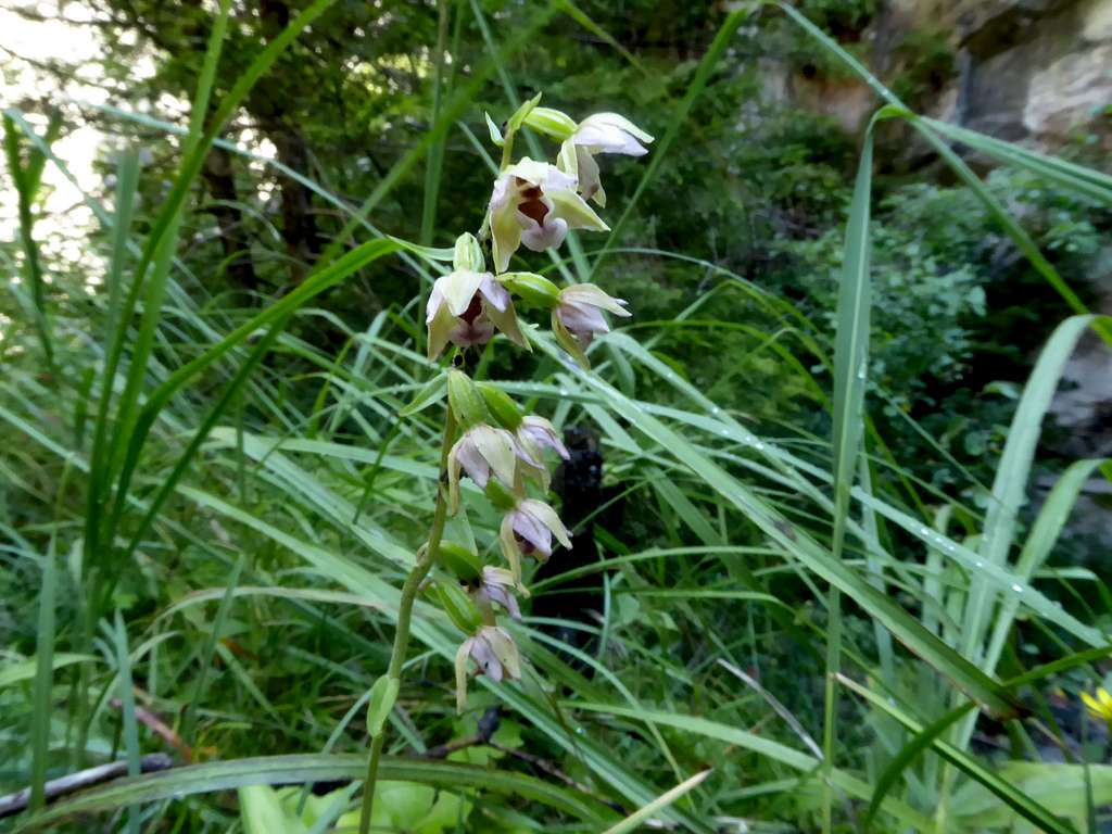
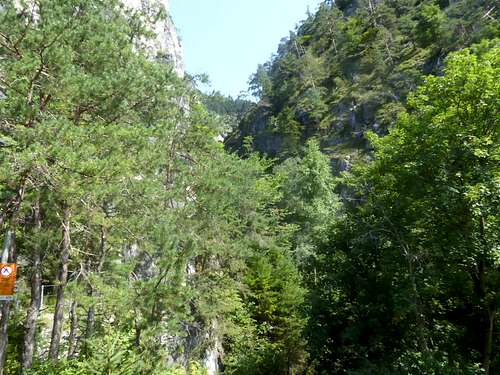
Ehnbachklamm and its surroundings belong to the Alpenpark Karwendel, an important and strictly protected national park.
There is no entrance fee for the park but many regulations to follow.
Please respect the following rules of the National Park:

Route Description
Round trip Ehnbachklamm
- Follow Geistbühelweg in eastern direction until it ends.
- Take the sidewalk alongside the noise barrier of road number 177 and descend it to the Ehnbach creek.
- Follow the U-bend of this sidewalk, crossing the bridge across Ehnbach.
- Take the right hand trail after the bridge and follow it ascending over some staircases to the beginning of Ehnbach canyon.
- The left hand trail at at trail junction shortly after the start of the canyon trail brings you up to the calvary chapel. Nice detour. Return on the same route.
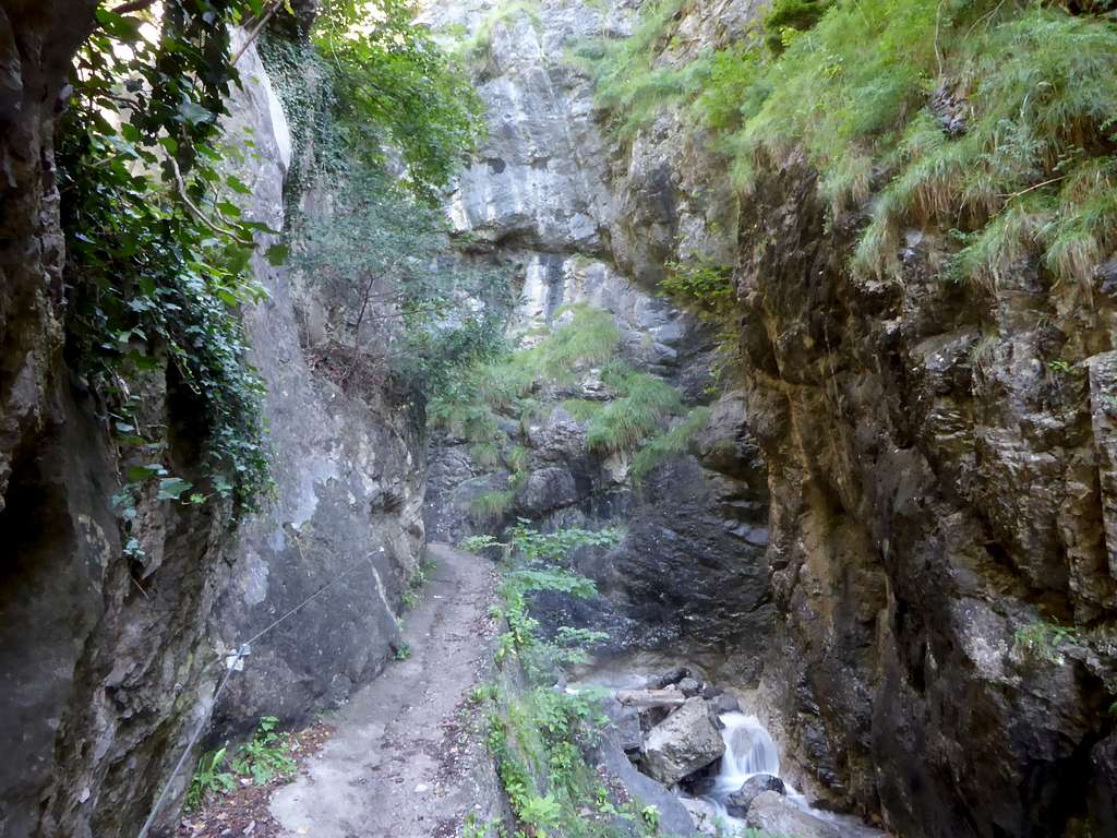
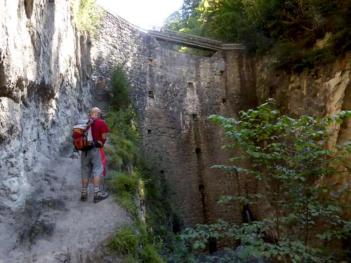
- Follow the Ehnbach canyon trail until you reach the logging dam, crossing two bridges.
- Ascend steeply the logging dam, using the small and narrow staircases, cross the dam and ascend another steep trail until you reach a forest road.
- Turn right and ascend the forest road to the junction with Brunntalweg road.
- Go right there again and descend on that road until you reach Geistbühelweg and the trailhead.
Boulder and climbing area
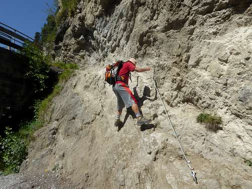
- Before crossing the logging dam climb over some iron bars and climb down the rocks to the mostly dry streambed; the short rock part is secured with an iron rope.
- Follow the streambed until you reach the climbing rocks on both sides of the streambed. Beautiful landscape.
Route to Kaiser Max Cave
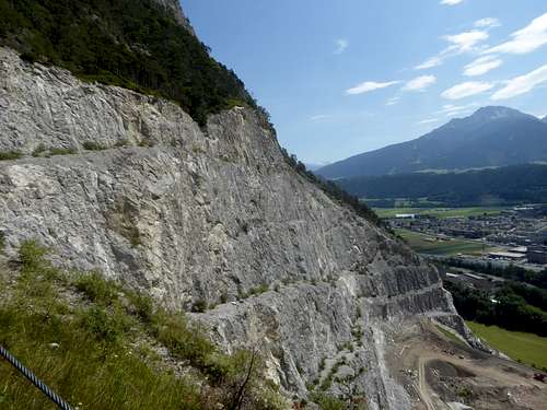
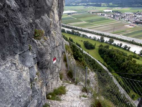
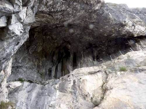
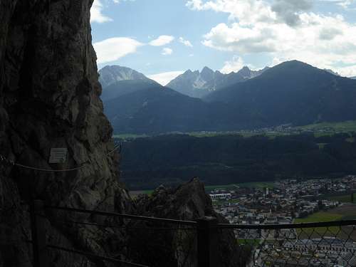
The cave is in the middle of huge Martinswand, a well known rock face near the village of Zirl. Many climbing routes and a difficult via ferrata are located there. The trail to the cave is secured but nevertheless exposed. The cave itself is a nice place to look over Inntal valley and it is a cool place on a hot summer day.
Descending Brunntalweg you arrive at a switchback. In front of it a trail branches off to the left. Ascend steeply until the trail enters the former huge quarry of Martinswand on the uppermost quarry floor. Follow this quarry floor across the whole quarry – strange place and great views.
After leaving the quarry zone, the trail zigzags steeply up until it enters the Martinswand area. After a short traverse the trail steepens and enters the huge cave of Kaiser Max. From the cave you can enter the Kaiser Max via ferrata – a difficult via ferrata, only for the experienced!
Same way back – about 1 hour forth and back.
Route to Kranebittener Klamm
Take the forest road after the logging dam to the road junction with Brunntalweg. Turn left there and ascend on Brunntalweg until you reach Brunntalhütte and – at the end of the road – Neue Magdeburger Hütte, an alpine club hut for Solsteine summits. Descend Schoberwaldweg, at the first trail junction go left on Krummer Steig trail. Where the trail crosses Langlehngraben creek go right on a narrow trail and descend into the canyon.
The route ends at the railroad station of Innsbruck – Kranebitten; take bus number K or N8 to bus stop Klammstrasse / Kranebitten Süd and change into bus number 350 or 456 to Zirl (bus stop Zirl – Schwarzer Adler).
The Tale of Emperor Max and his Cave
Emperor Max was the elected roman emperor Maximilian 1st (1459 to 1519). He often lived at Innsbruck and was – maybe – one of the first mountaineers of the area, due to his love for hunting, especially chamois and capricorn hunting. The huge rock wall of Martinswand was his preferred hunting area and he must have been a skilled climber, too.
In those times there was no SummitPost around, to show off your routes, summits and abilities (smile). Max 1st built a small castle below Martinswand. For the hunt all his women folk had to go with him to this castle in order to be able to watch his climbing and hunting – a royal SummitPost of former times…..
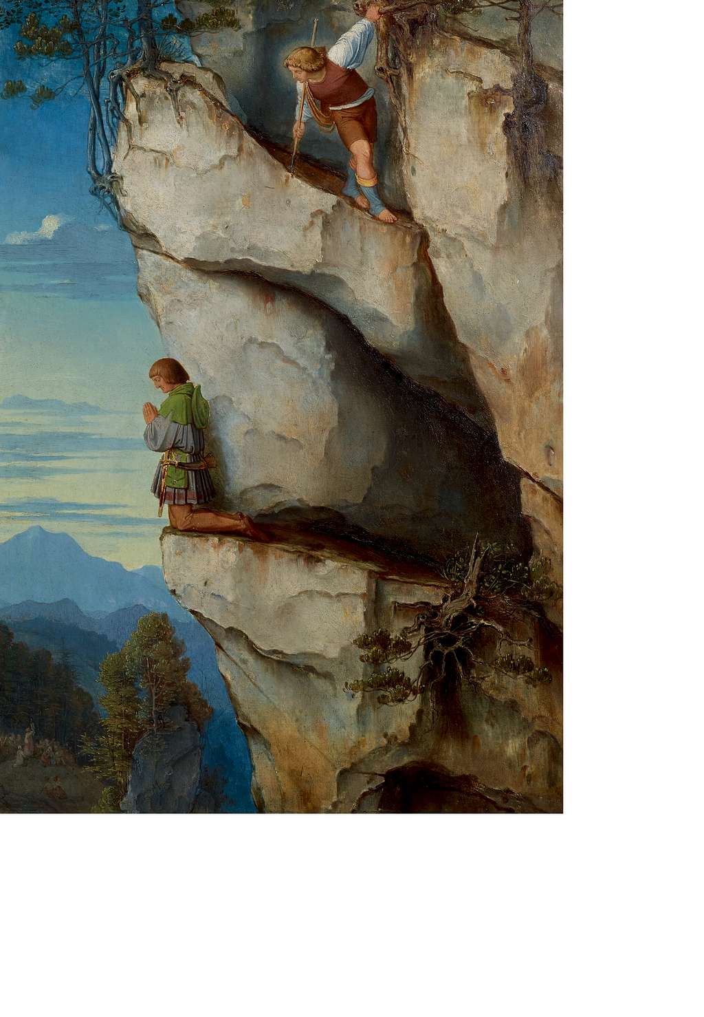
One day, however, so goes the tale, Max arrived at a place in the middle of Martinswand, which was so difficult for him that he was blocked. This was below a huge, cave – like overhang. There was no way forth or back. His women and servants watched in horror but nobody was able to rescue the emperor. A priest was fetched from Innsbruck and he prayed for the rescue of the emperor. An angel in the shape of a shepherd appeared out of nowhere and guided the emperor easily on save ground. A cross was erected in the cave and it was named after the emperor in memory of his divine rescue.
So look out for some shepherd – shaped angels when visiting the cave……
Gear and Condition
Hiking gear required, nothing more.
Its an easy hike; the trip to the Maximilian cave, however, requires a bit of hiking experience and no fear of vertigo.
Weather Zirl


