
Comments
No comments posted yet.
|
|
Trip Report |
|---|---|
|
|
40.96210°N / 112.216°W |
|
|
Mar 5, 2021 |
|
|
Hiking |
|
|
Winter |
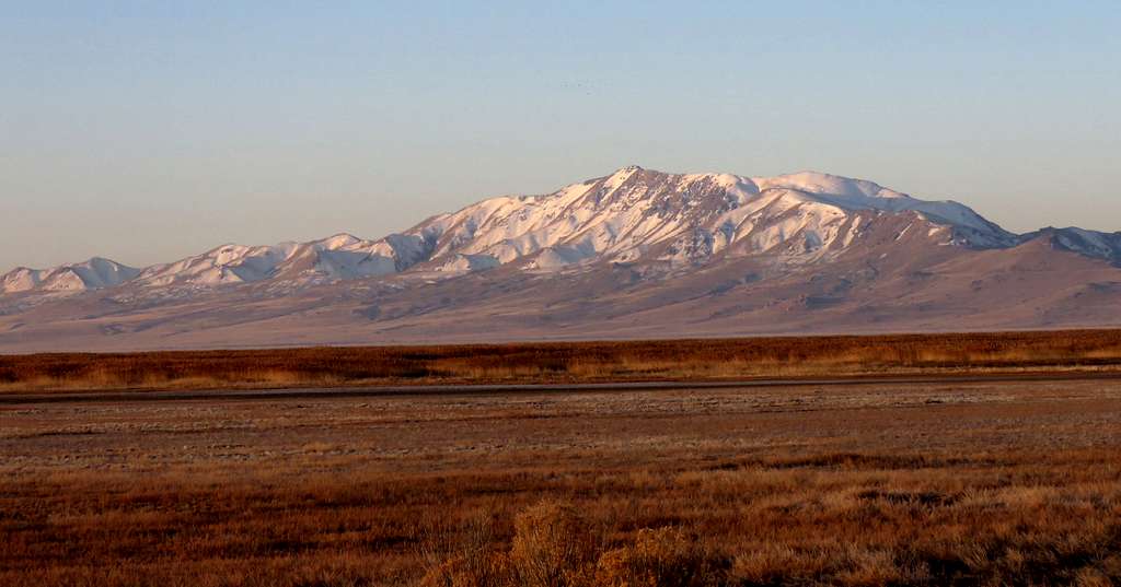
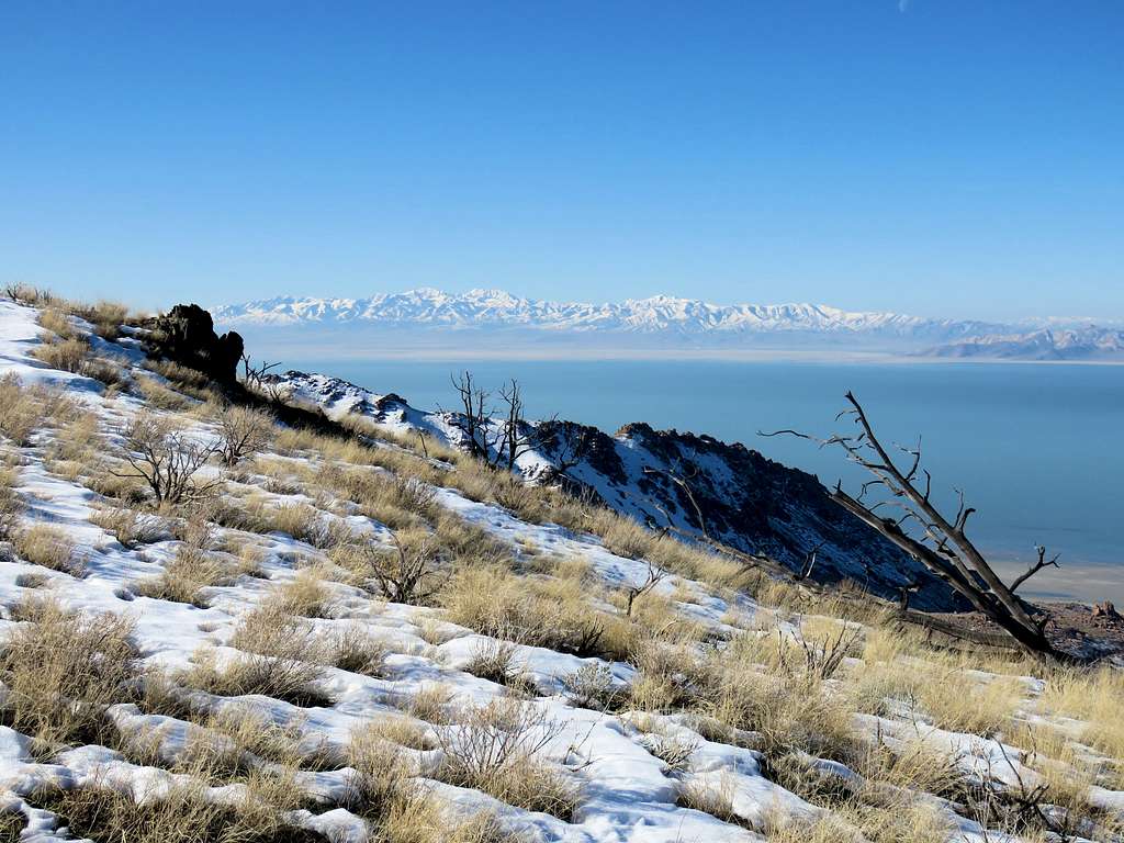
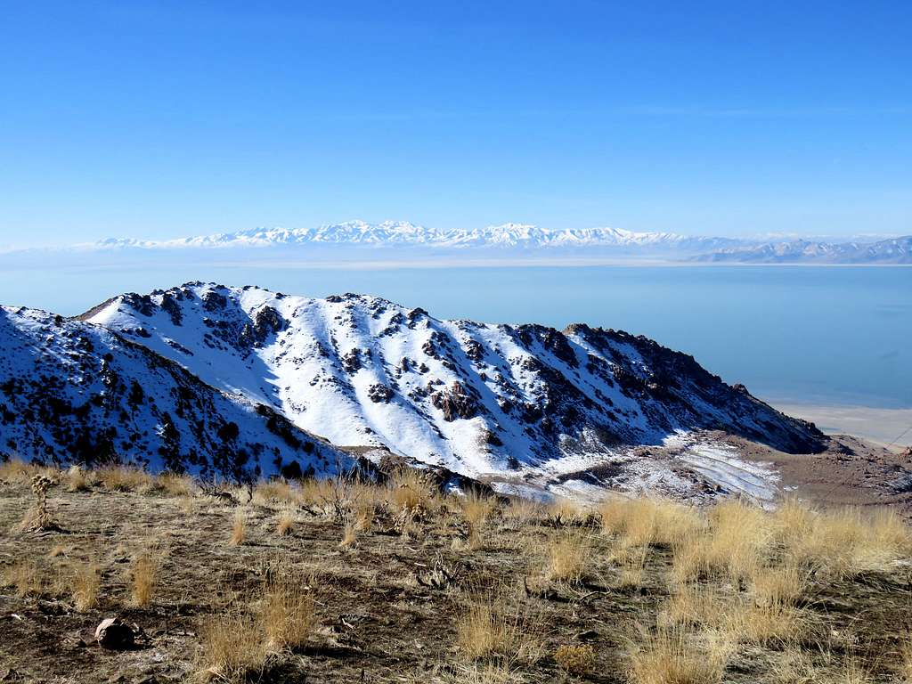
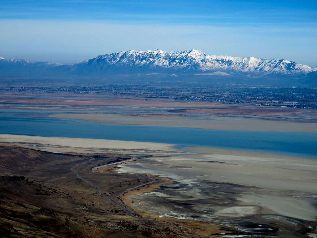
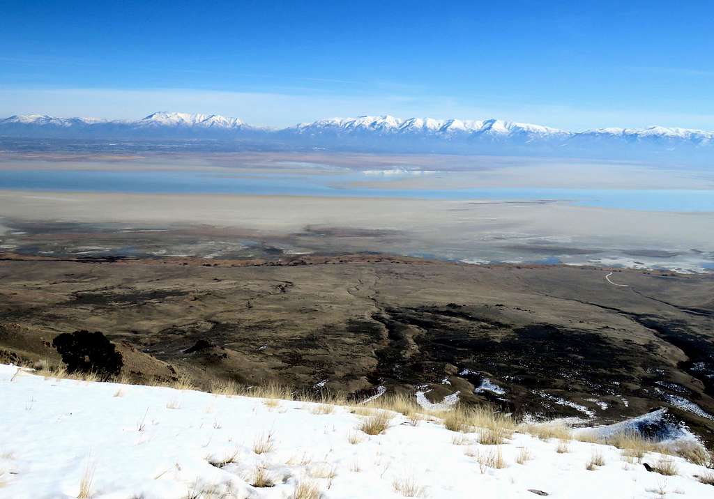
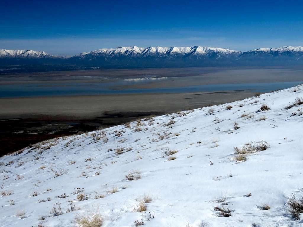
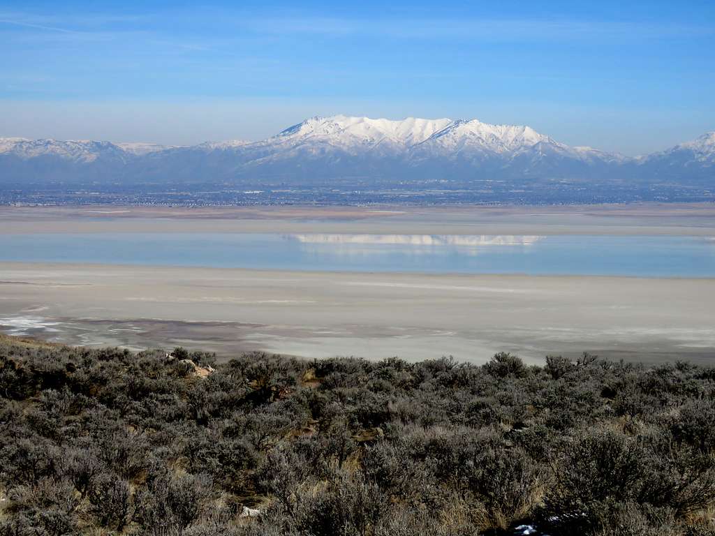
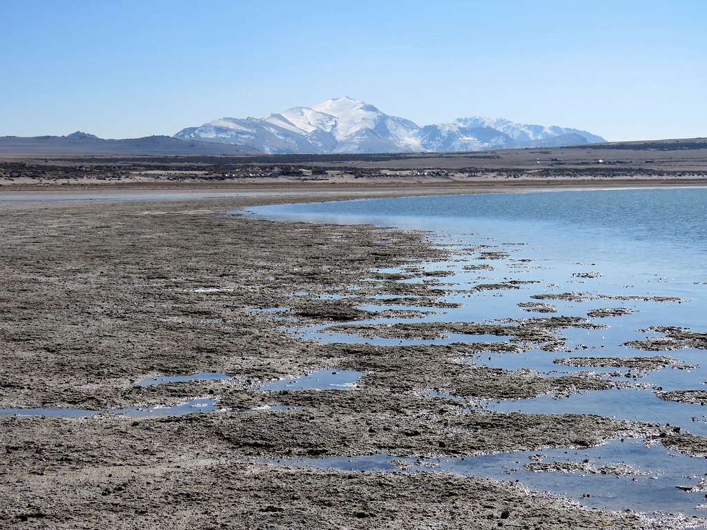
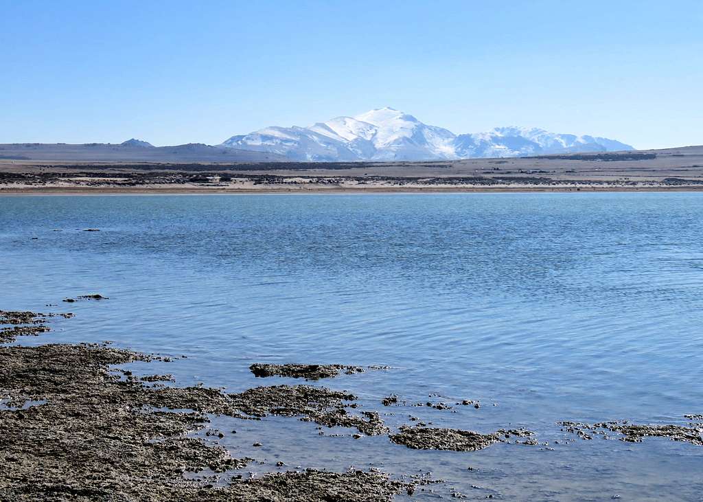
The 6596 ft Frary Peak is the highest point of Antelope Island in Utah’s Great Salt Lake. Due to low water levels, Antelope Island is really a peninsula connected to the mainland from the south. Driving access to Antelope Island is provided via a causeway from the north. The island sits near the southeastern corner of the Great Salt Lake and is roughly 15 miles long north-south by 4.5 miles wide east-west. The bulk of the lake is situated to the west and north of Antelope Island.
The summit of Frary Peak rises 2400 vertical feet above the waters of the Great Salt Lake. A 3.5 mile long trail starts to the north of the peak and goes all the way to the summit.
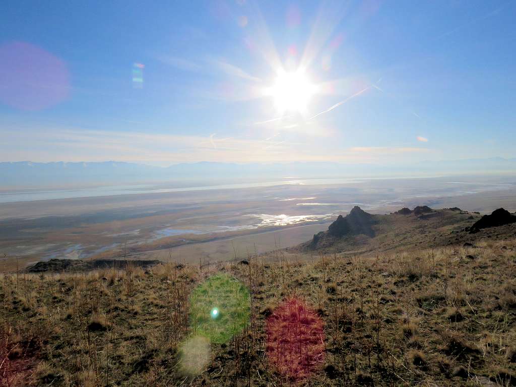
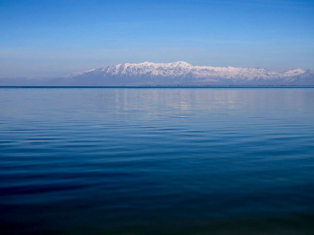
Left the hotel near Salt Lake City Airport at 6:45 a.m. Driving through the freeways of a large city to go mountain hiking felt odd but then suddenly the city was gone and I was over the Antelope Island Causeway. Stopped to take a shot of sunrise over Frary Peak. Sounds of birds made me feel as if I was by the ocean.
Drove a little and then stopped to take more pictures.
Reached Antelope Island, drove south on the main road that paralleled the east coast of the island and then got on a short spur road that went up some 300 steep vertical feet to reach the trailhead. The mountains of Antelope Island created a long north-south running ridgeline. The trailhead was on the eastern slopes of the ridgeline to the north of Frary Peak.
Saw a couple of young ladies dressed in what looked like gym clothes starting their hike. I thought they were there for their routine morning jog while with my big backpack, hiking poles, gloves hat etc., I probably appeared dressed to conquer Everest. Started my hike at 8:00 a.m. It was 34 degrees F. Radio had said it was a good 10 degrees warmer than normal. Elevation was 4525 ft.
The trail was well-established and headed south traversing up the eastern slopes of the ridgeline. I saw two young men starting to hike shortly after me.
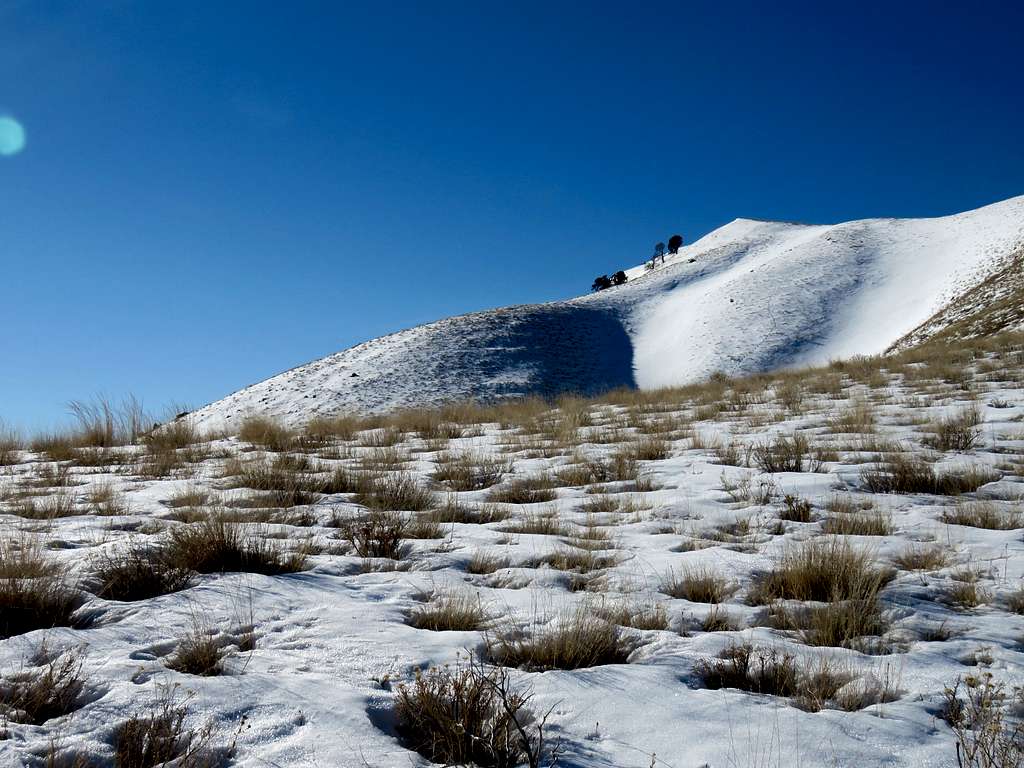
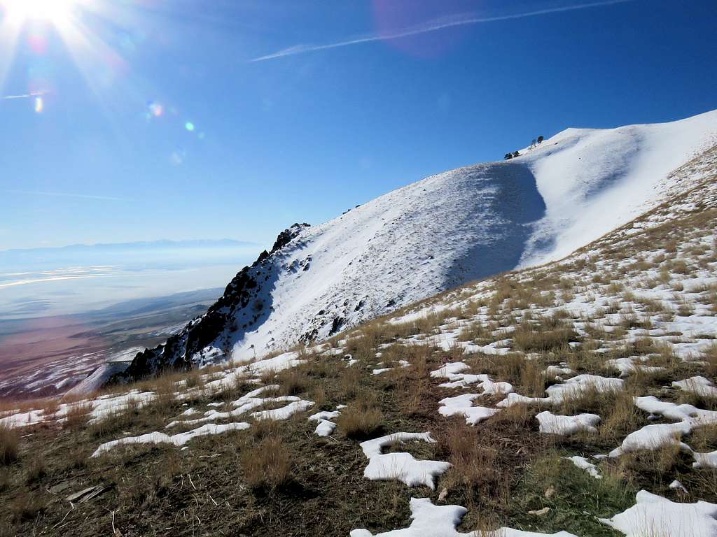
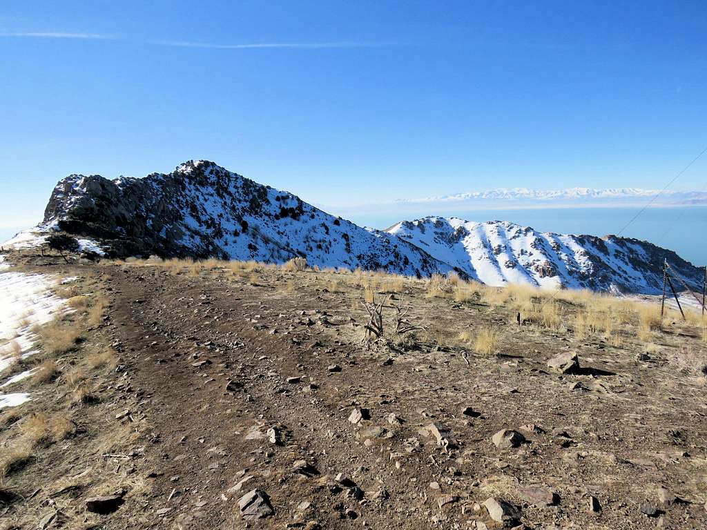
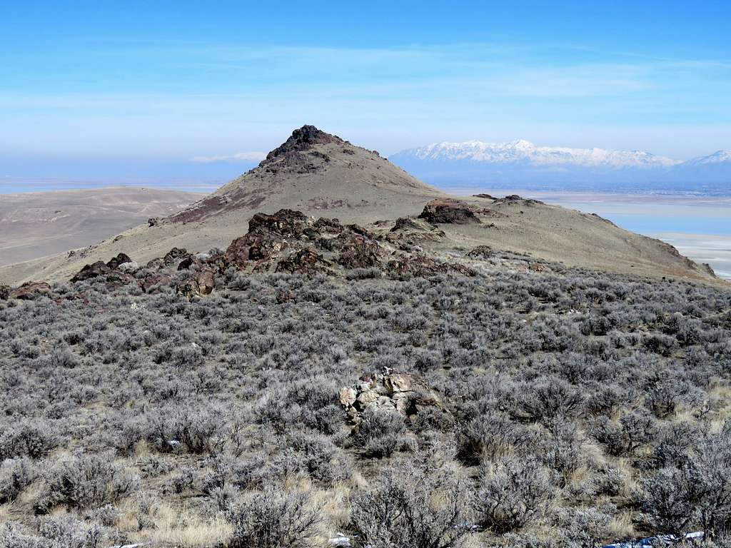
The summit of Frary Peak.
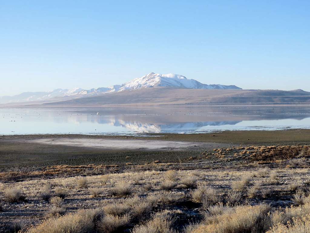
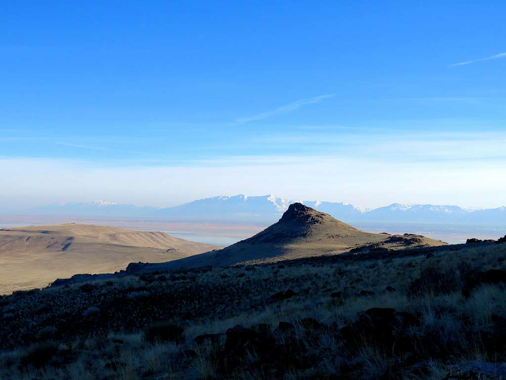
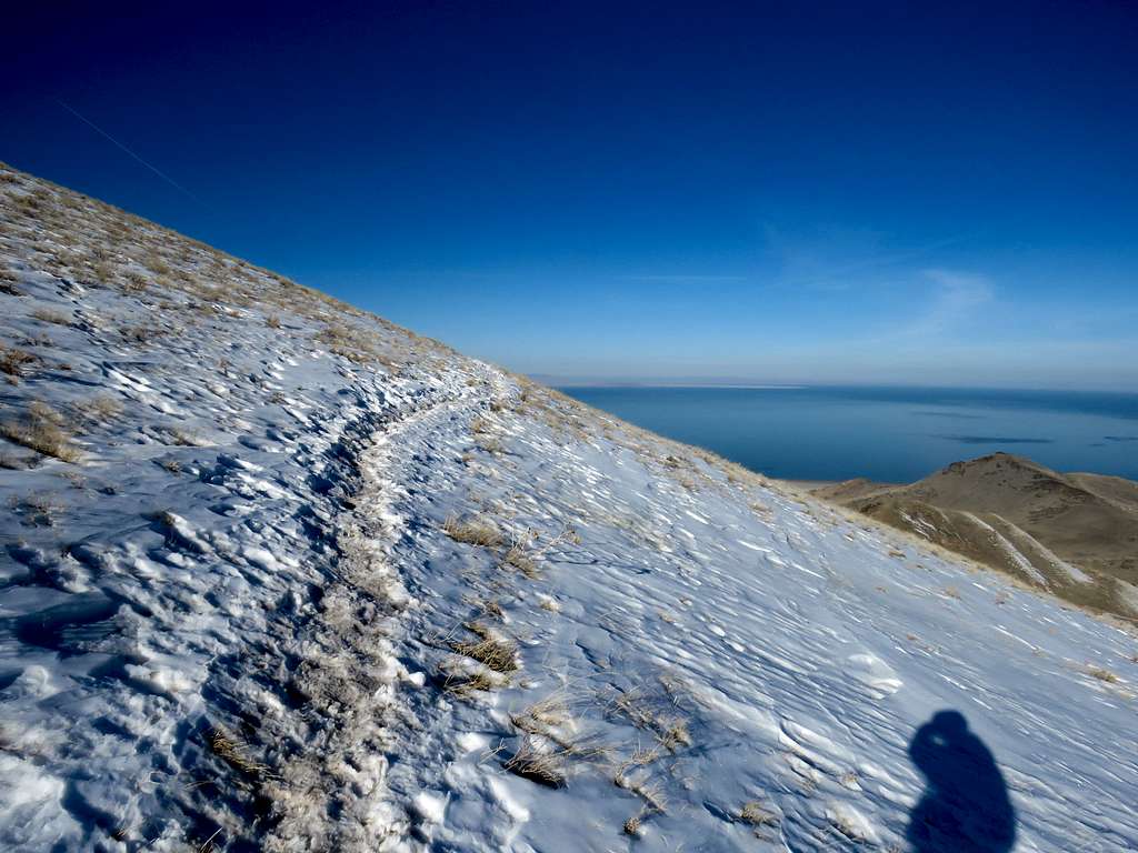
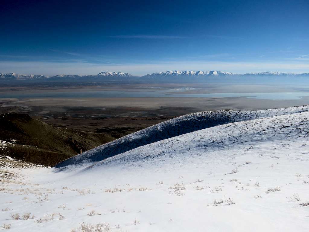
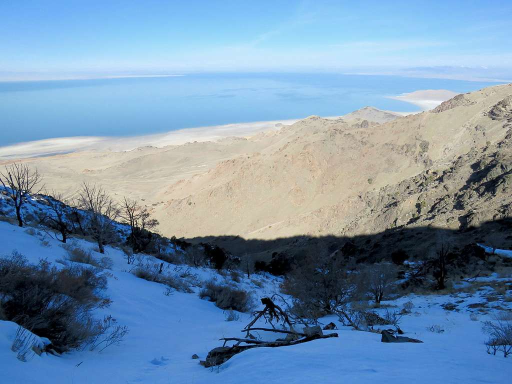
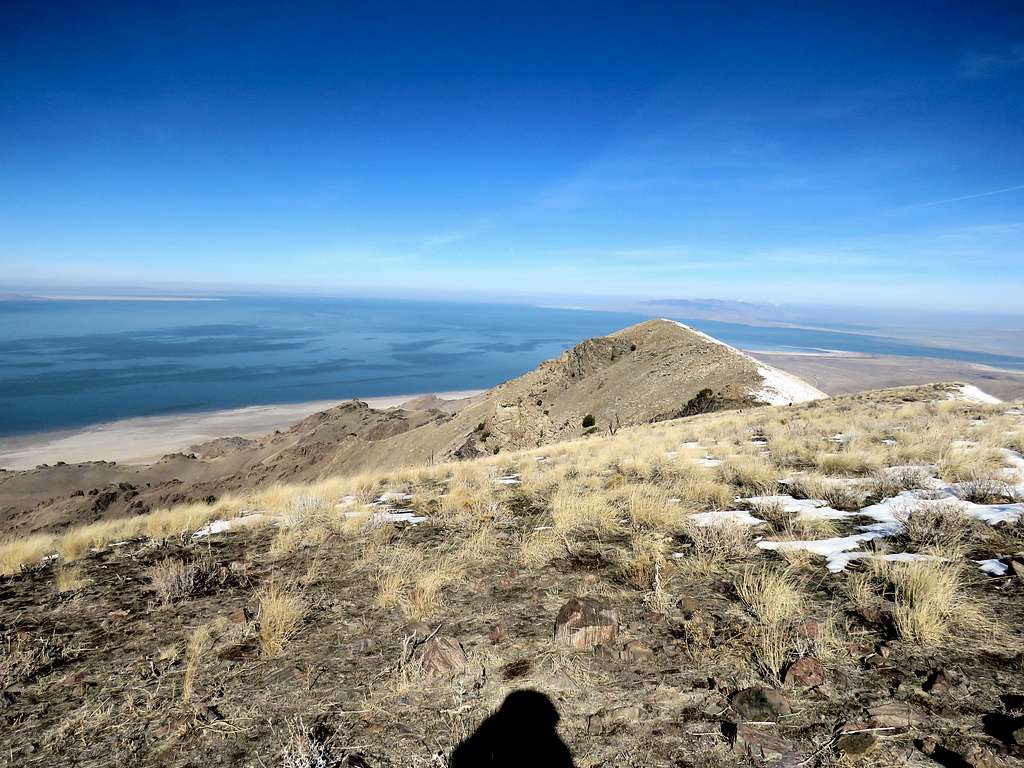
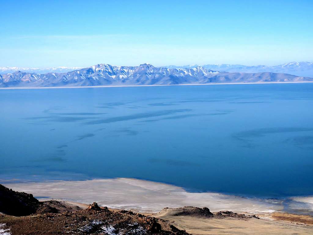
At an elevation of 5100 ft, I reached a broad saddle where a spur trail went north to the top of a rocky high point known as Dooley Knob. The main trail crossed over to the western slopes of the ridgeline going into the shade where it felt colder. The bulk of the waters of The Great Salt Lake came into view.
As I stopped often to take pictures (I have posted on this TR less than half the pictures that I took), those two young men got closer. I stopped to let them get ahead of me but farther up they had stopped to rest so I was again ahead of them. This happened a couple of times.
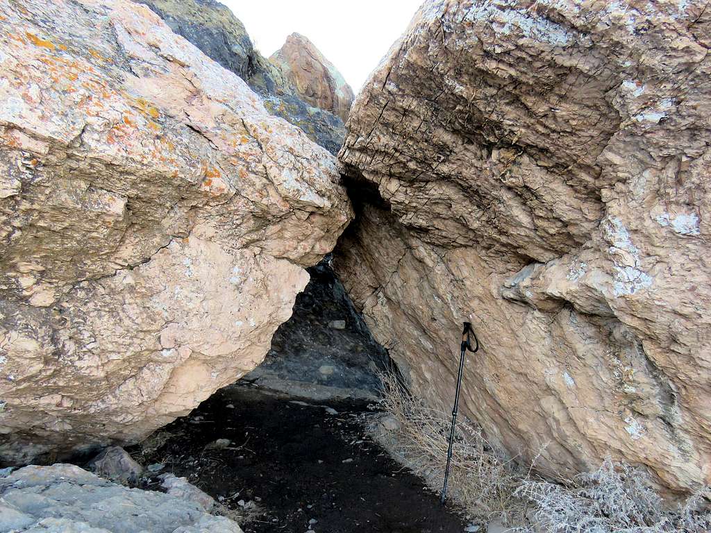
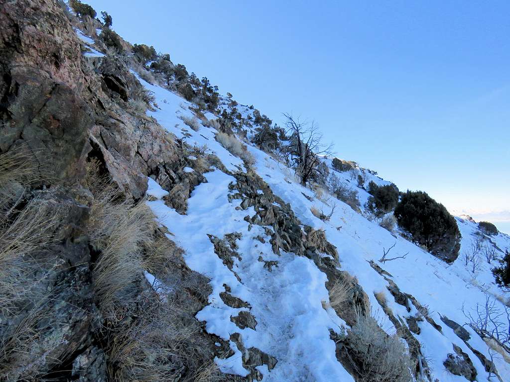
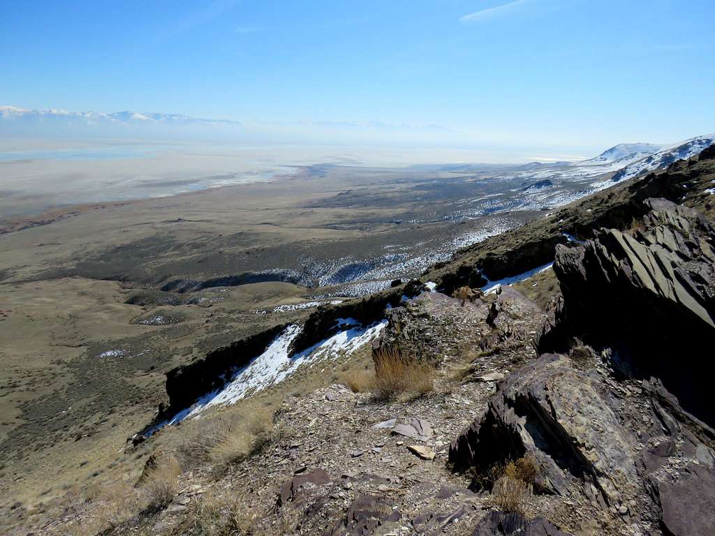
Trail going under big boulders.
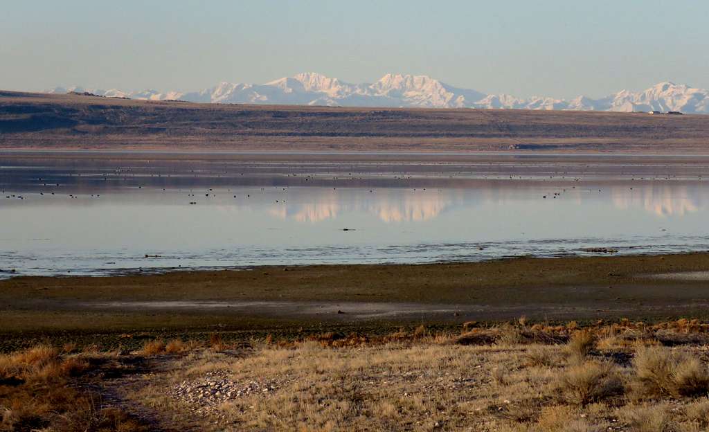
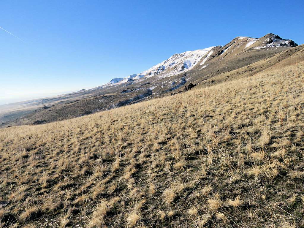
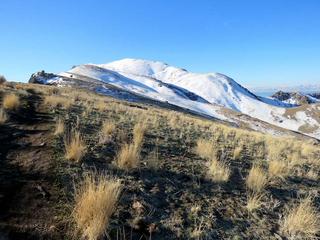
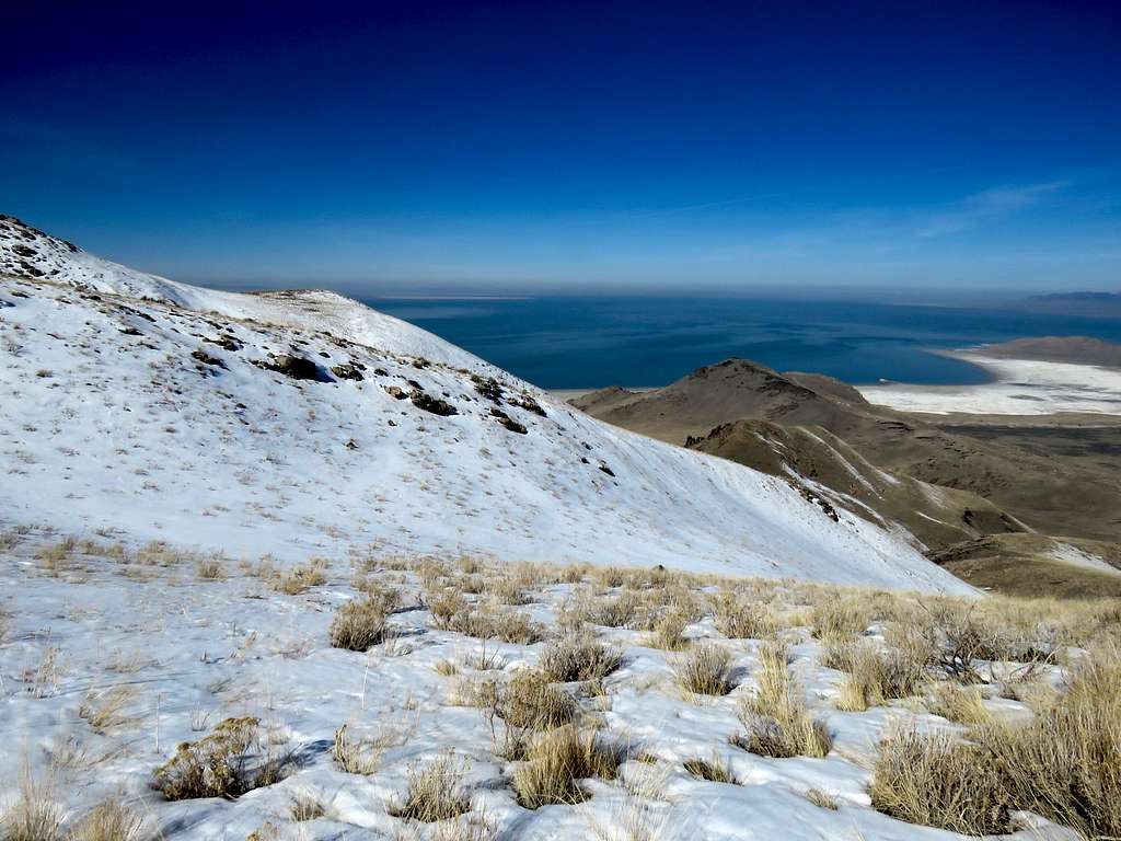
As the trail went up, it got out of the shade reaching the crest of the ridgeline where I had good views to the east and west. Snowy sub-peak appeared to the south.
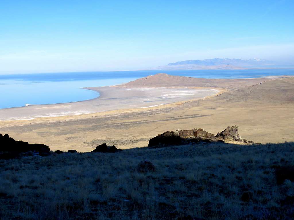
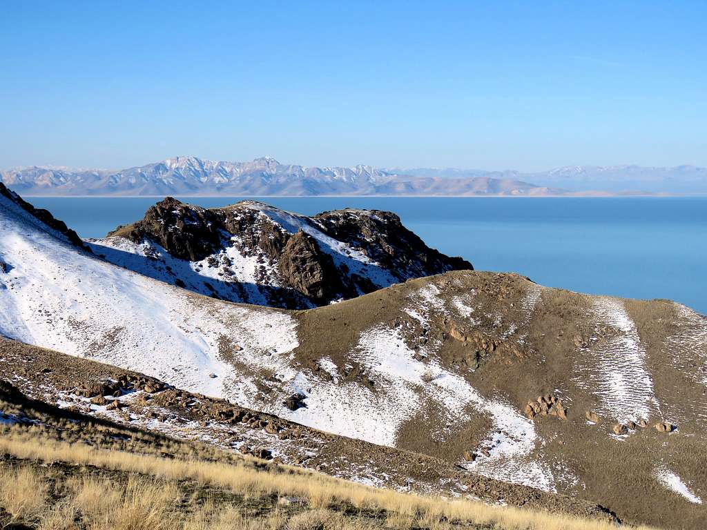
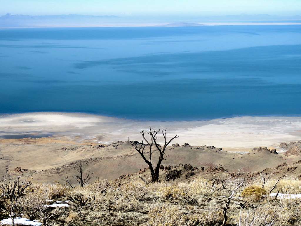
View to Stansbury Island.
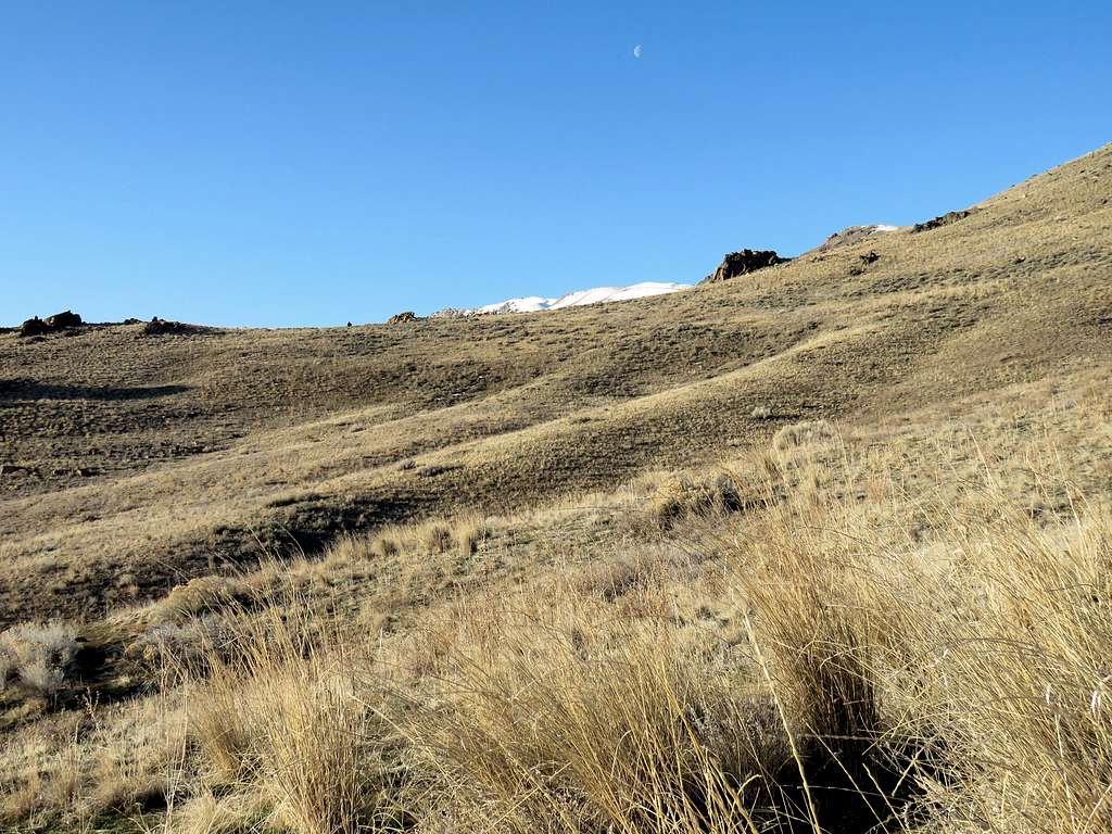
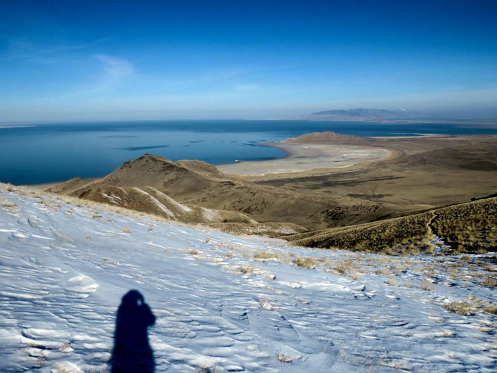
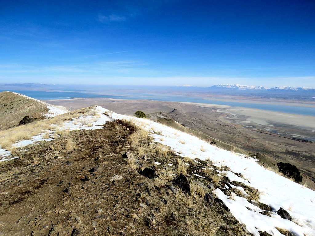
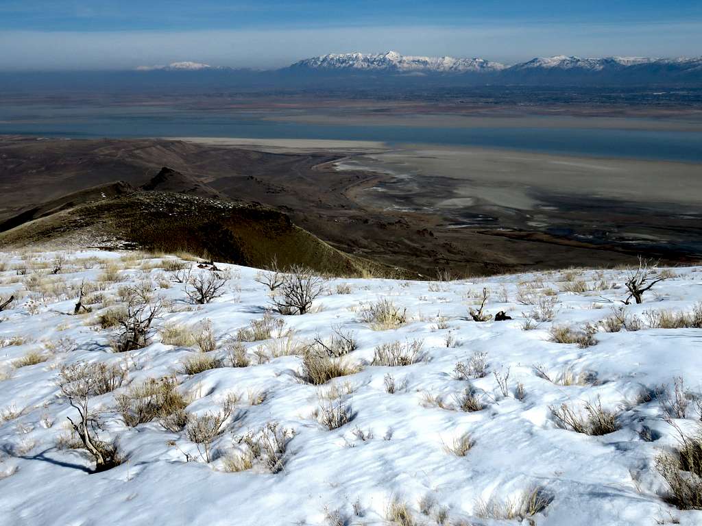
Snow came to cover the slopes.
At an elevation of 6420 ft, I reached a flat area where there was an antenna. Those young ladies were there and just began to walk back down. Summit was a short distance away.
To follow the ridgetop to the summit, you had to go up a rocky area. A sign specifically said not to do that and stay on the trail which seemed to go down some 130 vertical feet, traversing a steep slope to reach the south side of the summit. I followed the trail down but soon found myself in the shade on a snow covered northwesterly facing steep slope. The trail in many places came to be covered by hard ice. Since I did not have microspikes, I told myself that I should turn back but I was so close to the summit. I also had not seen those two young men any more so I assumed that they had continued on the trail. Well maybe they were well-equipped or maybe they had decided to jump off the proverbial bridge. Finally reached a really nasty place where I did not even dare to take the camera out to take a picture. I turned around and slowly walked my way back not feeling comfortable until I was out of the icy area.
Reached the flat area by the antenna at 10:20 a.m. having hiked 3.8 miles. No one was there. Sat there to have lunch and enjoy the views. I was 2200 vertical feet above the lake.
Left at 10:45 a.m. retracing my way down the trail. By the time I reached the saddle near Dooley Knob, I had gone by 8 groups of people who were hiking up.
Below Dooley Knob, a lot of people were on the trail. Reached the trailhead at 12:21 p.m. having hiked 7.06 miles with 2260 ft of ascent.
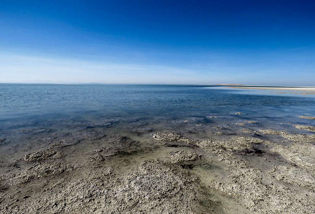
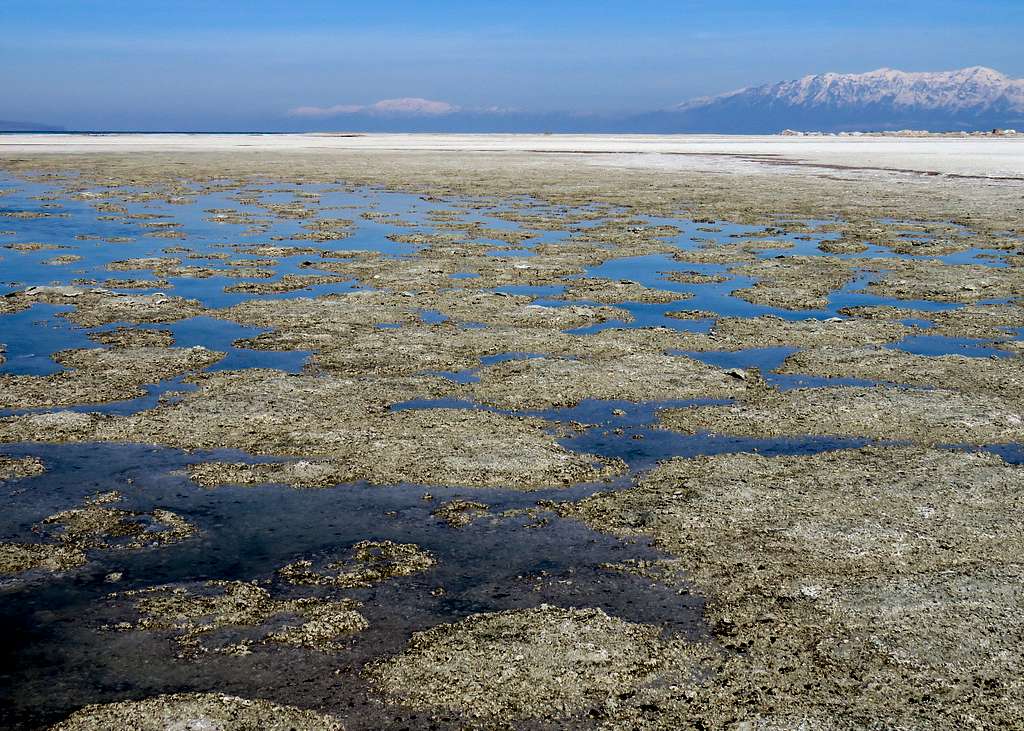
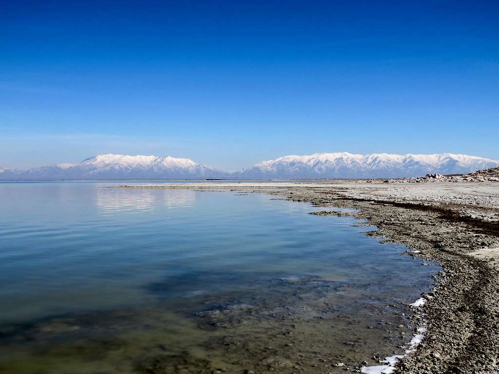
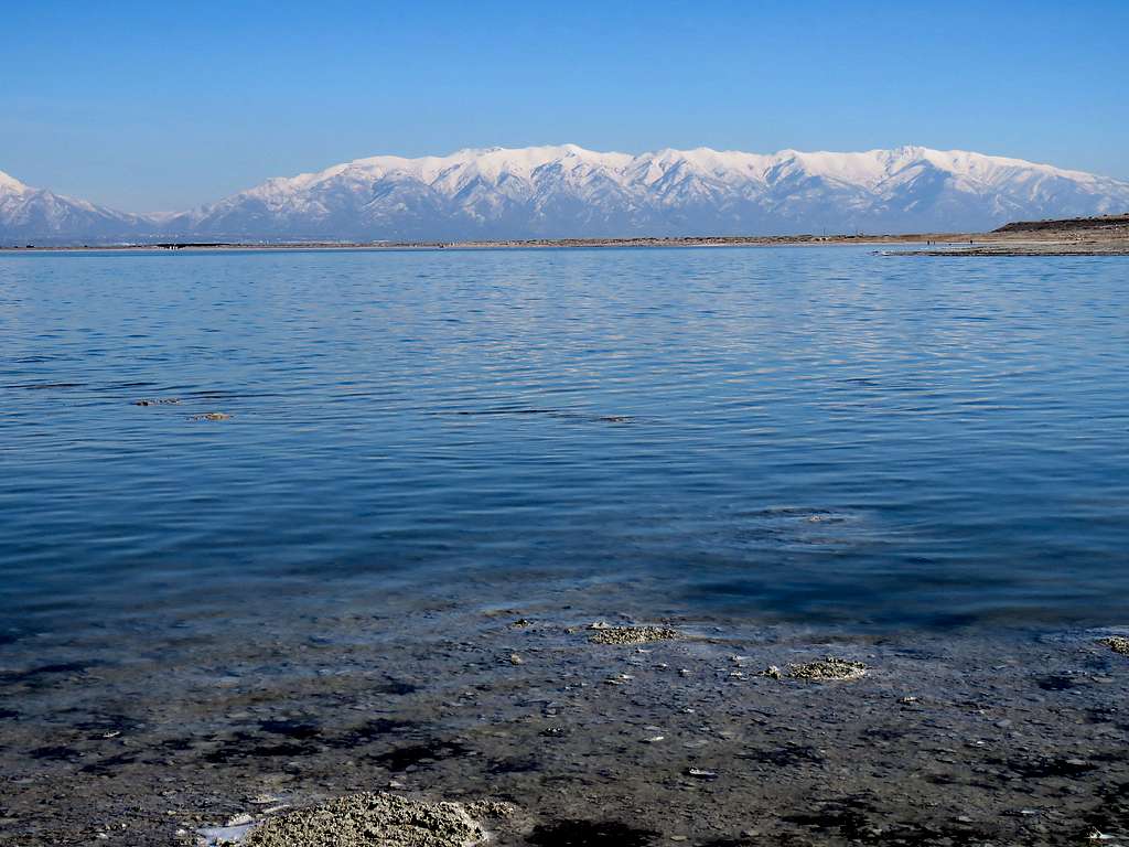
Drove to the north end of the island and did a random 1.72 mile long hike on the shores of the lake.