-
 4064 Hits
-
 86.37% Score
-
 22 Votes
|
|
Route |
|---|---|
|
|
46.61339°N / 8.41625°E |
|
|
Mountaineering |
|
|
Summer |
|
|
Most of a day |
|
|
Alpine PD |
|
|
Overview
Geographical classification: Alps - Western part > Uri Alps Group > Galenstock > Galenstock North-South traverse
Galenstock North-South traverse
This page describes the complete crossing of Galenstock. An update to the main Galenstock page, enriched with images of SP members Alpenkalb, Alberto Rampini, Andrea and Cyrill Rüegger, fell on Piz Palu in 2009, to which I want to dedicate this work.
The Uri Alps (Urner Alps) are located in the Uri district, in central Switzerland, amongst three famous cols: Sustenpass to the North, Furkhapass to the South and Grimselpass to the West. The chain counts wonderful mountains and Galenstock 3586 m is one of those, dominating one of the most famous glaciers on the Alps, the Rhonegletscher, from which it originates the Rhône river. The peak shows different looks and has different action grounds depending on its sides.
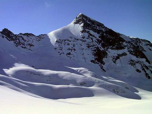
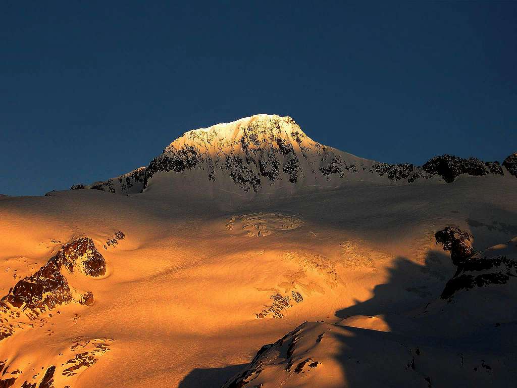
Towards West in the direction of the Rhonegletscher it's covered with snow and ice: it's the kingdom of ski-mountaineers. Towards Tiefengletscher it shows a steep rock and ice mixed wall, while towards the Furkhapass it's eminently rocky. As a result, the climbing routes to summit Galenstock have extremely different characteristics. The North Ridge - South ridge traverse, which begins near the Furkhapass and ends on Belvedere, near the Grimsel Pass, with the descent along the Rhone Glacier, is a long but fantastic way to climb Galenstock on rather easy mixed ground.
Getting There
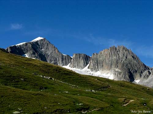
The starting point to climb the route in the direction described below (up North ridge and down South ridge) is the Furkha Pass road, rising to the pass from Andermatt, a little town lying at the exit of St. Gotthard Tunnel. From Andermatt take the road towards the Furkapass, reaching the Hotel Tiefenbach. A few hundred meters past the hotel leave the main road and take on the right a toll road to the Tatsch parking m. 2270. Obviously it's possible to climb the route in a long day starting directly from Tatsch, but if you wish to take it easy it’s also possible to stay overnight in the Albert Heim Hut.
Route Description
Galenstock North ridge - South ridge traverse
Summit altitude: 3586 m
Difficulty: PD (Alpine)
Difference in level: 1000 m from Albert Heim Hut - 1200 m from Tasch
Starting point: Tatsch parking or Albert Heim Hut
A great course which involves an easy climb (some moves grading II UIAA) up the North ridge, with stretches of snow, while the descent along the S ridge is quite easy. A good experience on glacier is needed.
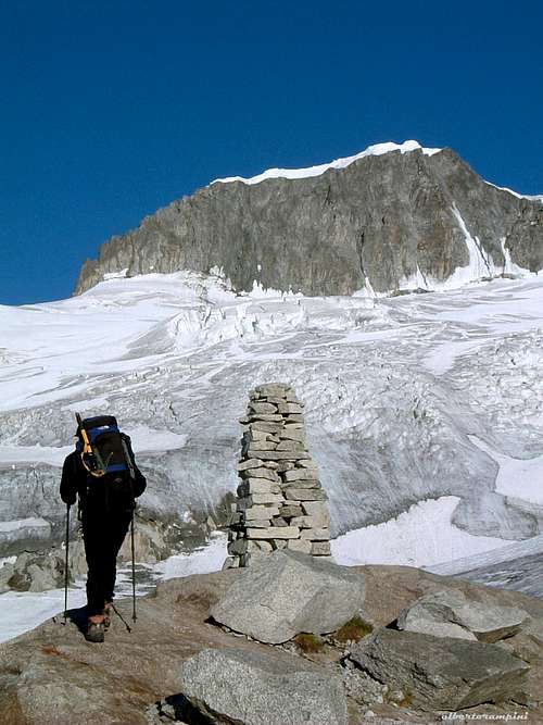
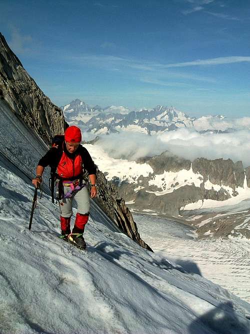
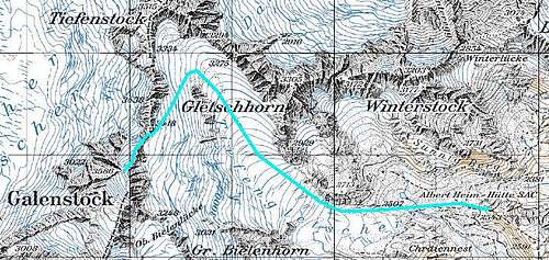
Approach - From Tatsch a good trail leads to Albert Heim Hut (1 hour); to reach directly the route, at a marked forking ignore the trail on the right towards the hut and continue straight, then head towards left between big boulders, rising along the moraine on a good trail marked by some cairns and reaching a huge cairn near the front of Tiefengletscher, rather retired in its lower part.
Route - Here you need to rope up and proceed enroped along the glacier with some crevasses; a steep slope leads to a plateau on the glacier near some seracs, that can be circumvented both right and left. You achieves thus the base of the rock wall and a crossing decisively towards the left takes you to the foot of the "via ferrata", which allows you to overcome the rocky ramparts and reach the mountain Northern ridge. The first part is a suggestive ladder of about 20 meters, very steep.
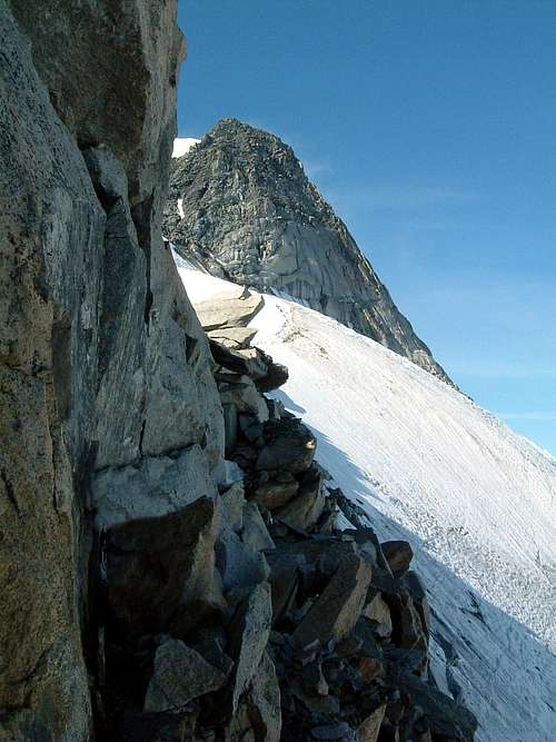
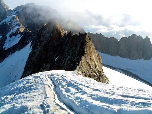
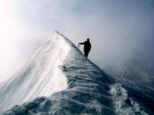
At the end of the ladder you find the first of several fixed anchors that you will meet along the ridge. From here along some brief stretches of easy climbing up to a final rope that allows you to reach the ridge. The view is great; a magnificent panorama of the Rhone glacier and the Bernese Oberland will surprise you. Here it begins a traverse on the West side of the ridge and successively a brief snowy ridge leads you to the last steep stretch. The final part is an easy climb (max II and not too exposed) up to the snowy summit. From the superb snowy summit head to South (the opposite direction to that one of climb) and begin to follow the snowy South ridge, easy enough and regular, leading quickly to the Rhone Glacier. Rope up and keeping the left side avoid as much as possible the crevasses on the glacier, successively because of some smooth rocks move rightward to a more crevassed area. Rhone Glacier leads you to Belvedere.
Essential Gear
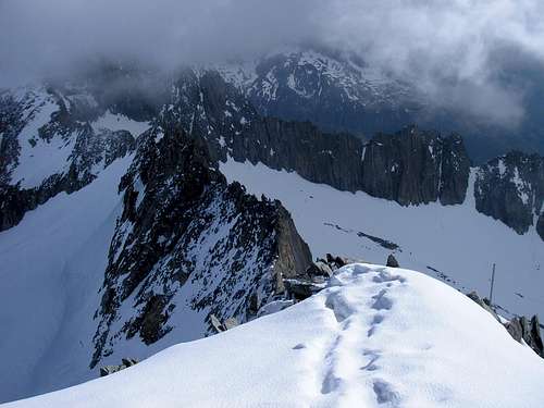
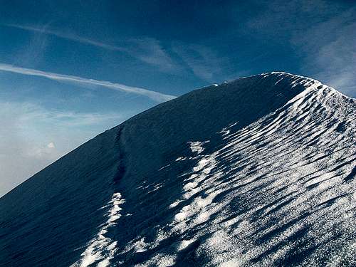
Rope, crampons and ice-axe and full glacier gear
Red Tape
No fees or permits needed to climb or hike. Anyhow be aware that:
- Free camping is not allowed in Tatsch - A toll is needed at the start of the road to Tatsch
Hut
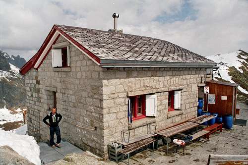
- Albert Heim Hut m. 2541 - SAC (Swiss Alpine Club) Sektion UTO
Albert Heim on Summitpost: Albert Heim Hut
When to climb
Best season goes from middle June to middle September
Guidebooks and maps
Canton Uri Official Maps:
CNS - Urseren 1231 1:25.000 CNS - Sustenpass 255 1:50.000

