Stats
Lassen Peak
Distance: 13 miles
Total Elevation: ~4037'
Time: 7 hours
Date: 2/9/2008
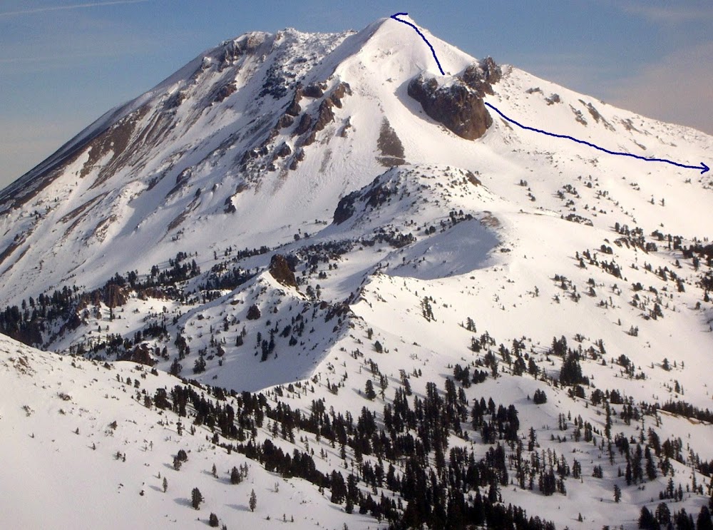 Descent Line
Access from Reno, NV
US 395 North
CA 36 West
CA 89 North to Lassen Volcanic National Park
Drive Time: ~2:20
Run One
Chelsea Morgan & I skinned up CA 89, then up an unnamed drainage just east of Sulphur Works to a point on Pilot Pinnacle's south ridge. We descended down towards CA 89, saving some distance on the road. The snow was variable between frozen and recently melted, soft snow.
Skied Elevation: ~280'
Run Two
We continued skinning up CA 89, then left it near Emerald Lake and headed towards the southeast ridge of
Lassen Peak. We gained the ridge and followed it to the summit. After a long break on the summit in perfect weather, we descended back down the ridge, but then dropped Lassen Peak's steep, south face. We found hardpack on the ridge, some powder on the upper south face and dense, buttery snow on the lower south face. Surprisingly, the snow never got too soft at the lower elevations.
Skied Elevation: ~3750'
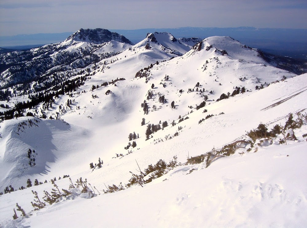
Brokeoff Mountain, Mount Diller & Eagle Peak from Lassen Peak's southeast ridge
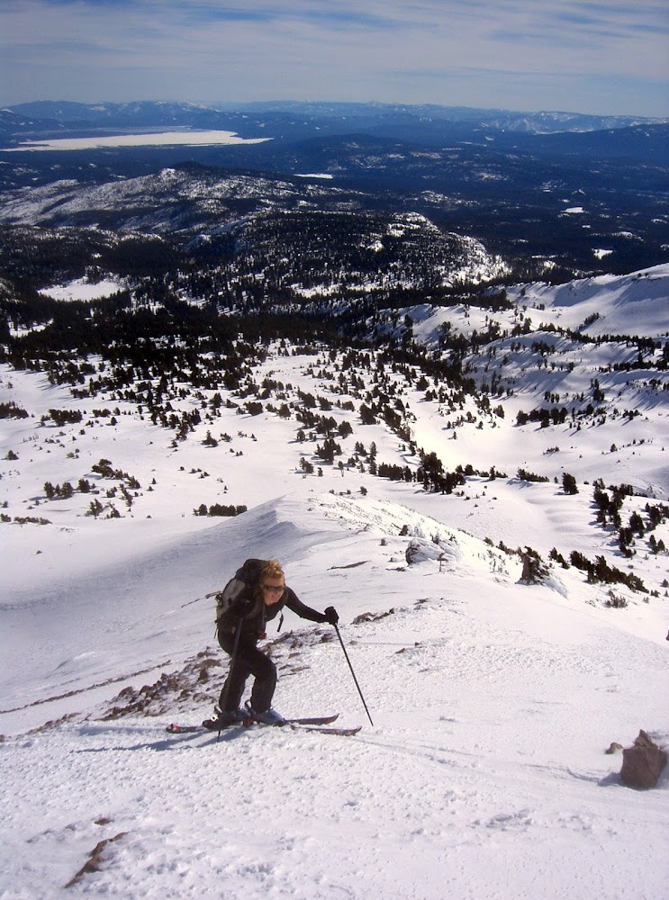
Chelsea skinning up Lassen Peak's southeast ridge
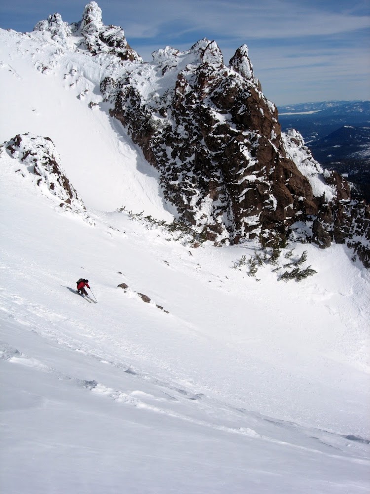
Brian skiing Lassen Peak's south face. Photo: Chelsea Morgan
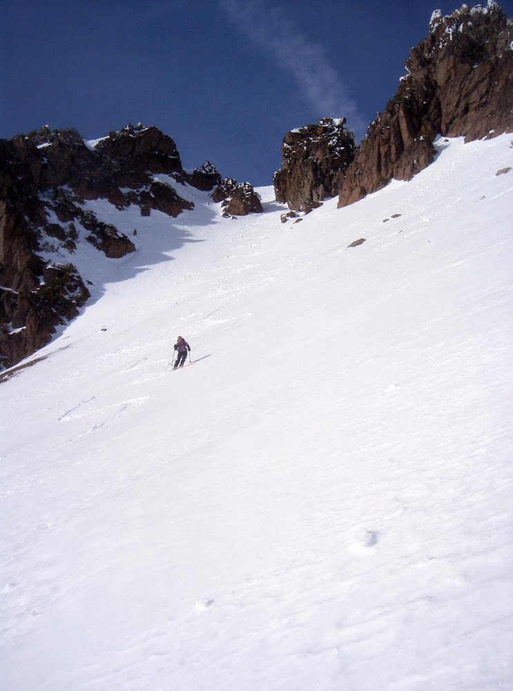
Chelsea skiing Lassen Peak's south face

Map
Additional Photos
Comments
No comments posted yet.
