|
|
Mountain/Rock |
|---|---|
|
|
21.50149°N / 157.89793°W |
|
|
Honolulu |
|
|
Hiking |
|
|
Spring, Summer, Fall, Winter |
|
|
2681 ft / 817 m |
|
|
Overview
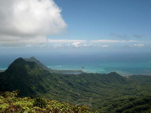
Pu'u Ka'aumakua is a peak located in the Northern Ko'olau mountains of Oahu. It is one of the higher points in the northern part of the range and has an amazing view of the East shore and inland part of the island. Ka'aumakua is at the head of both the Kahana (N) and Waikane (E) Valleys. The easiest access to the peak is through the Waikane Valley but the summit is located just off of the Ko'olau Summit Trail so if you get to the KST from another trail you could make a trip up as well. This is a rounded, grassy peak, not a crumbly, rocky ridge like some peaks in Hawaii. The trail is generally narrow, overgrown, and slippery. That being said it can be fun and a great option for hiking on Oahu.
Waikane Route
This route, I've read, is about 11 miles RT but I didn't bring my GPS to check, it took me and my dad 9 hours to complete. That's with no Hawaii hiking experience and at least an hour and a half trying to figure out where we were going. Unfortunately, I didn't have anything to track coordinates with on our hike so all the directions will be based on landmarks.
Start by Parking at the start of the Waikane Valley road off the Kamehameha Highway.
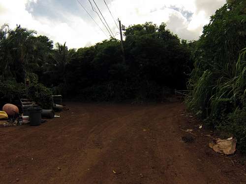
Start up the road passing a few houses and a church, the last house has dogs. They're nice enough. Just walk through calmly and then go to the right through the gate right past the house.
take a right through the gate
Continue up the road and go down to the right at this sign.
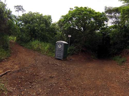
Pass a few turnoffs after this but keep going straight down the road, you should get to the military fence with these signs and cross the stream.
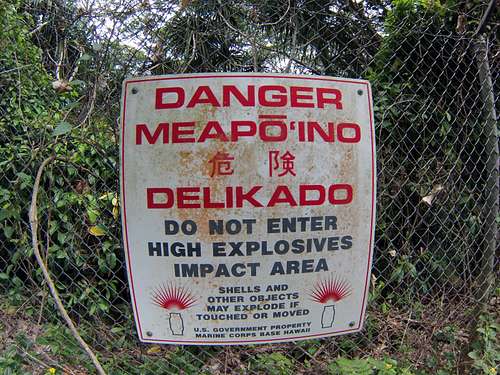
Keep following the outside of the fence all the way to the end and continue straight, then turn left at this fork and go past the sign with the chain across the road.
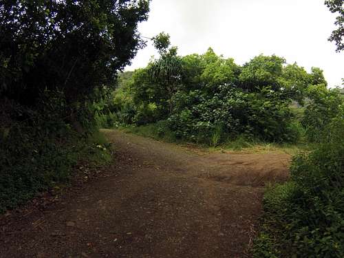
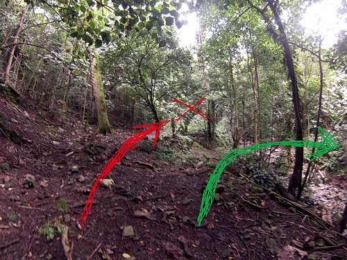
After this, walk the road for a while more. You have to cross a landslide and a few drainages. At this point, the road starts to get overgrown and gives you a taste of what the rest of the trail is like. Eventually, you get here where the first outlet tunnel is just up the road in a more straight direction (red arrow) along with some old concrete structures. There is a different tunnel that you need to pass which is down, to the right, and around the next corner (green arrow).
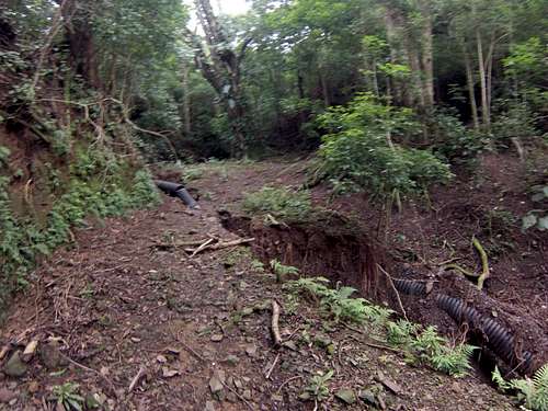
After walking around the hill on the road you should first come to this black pipe, then this next spot with the tunnel just beyond that.
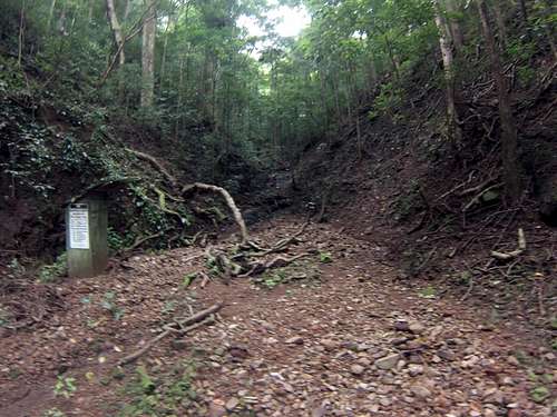
Once you get here head straight up the ravine. You're looking for the trail up on the right side of the hill which isn't obvious at first, so walk up a bit and look for the pink flags up the hill to the right. There should be one on a small branch at your feet in the bottom of the ravine marking where to start up the hill. There is an old trail up on the left side of the hill but it just dead ends.
From there the trail should be obvious until you get to a streambed that you cross on some branches. The trail contours around this drainage and continues around the bend, however, there are trees fallen across it so it's not so obvious. At this point you may see a pink flag above the trail, don't follow it, I did and wasted almost an hour fighting my way up the hill and trying to find the next few. If you look across the ravine though you should see where there is a flat spot, the graded trail, just go under the trees and continue around the hill. Sorry, I forgot to get a picture of this one. Hike to the saddle which may be easy to miss but is marked by your first big views of the valleys. Switchback left up the narrow trail to continue to Pu'u Ka'aumakua, going straight apparently takes you towards Pu'u Ohulehule.
From here the trail is slippery, overgrown, and narrow all the way to the junction with the KST, which isn't any better, where you again switchback left toward the summit. The junction is marked by a tall stake with a flag and some pattern duct tape on it. Once on the KST, follow it across to the leeward side of the crest, then back up to another saddle however, you may not want to go that far. If you get to the second saddle Ka'aumakua is on your left (North) if you're facing the ocean. There is supposed to be a trail leading to the summit but I never saw one so we followed the ridge mostly straight to the summit, which was really tough. We never touched the ground almost the whole way because the vegetation is so thick. You might try hopping off the trail once you are directly west of the peak, in small grassy drainage (around 21.5011°, -157.8986°). From here you could either go straight up the face or head north to a saddle and take the ridge West to the summit. The summit was about 30 minutes from the KST junction.
Red Tape
I've read that the route crosses private property but you should be fine if you just stay on the road on your way up to the trail.
What to Bring
Good shoes, Pants, GPS


