
|
|
Mountain/Rock |
|---|---|
|
|
31.96419°N / 109.27843°W |
|
|
Download GPX » View Route on Map |
|
|
Hiking, Mountaineering |
|
|
Spring, Fall, Winter |
|
|
7800 ft / 2377 m |
|
|
Overview
Rank: Shaw Peak is Arizona’s 345th highest ranked peak
Prominence: 720 ft
Note about true summit: The USGS Map puts the name Shaw Peak next to a 7728 ft point 980 aerial feet to the north of the true summit of Shaw Peak. It does not provide an exact elevation for Shaw Peak and only shows contour lines of 7760 to 7800 ft. Point 7728 ft has a prominence of only 68 ft and is therefore not a ranked Peak.
Shaw Peak rises on the spine of southeastern Arizona’s Chiricahua Mountains to the west of Pinery Canyon. Shaw Peak Trail (Trail 251) traverses the eastern slopes of Shaw Peak at an elevation of 7440 ft. This trail can be accessed from various points including Hands Pass to the north, Pinery-Horsefall Trailhead to the west and Onion Saddle to the south.
I climbed Shaw Peak from Pinery Canyon. From the road to the 7060 ft Jhus Horse saddle, the trail was well established. From the saddle to the base of the peak, overgrown and the trail hard to find. The final off trail walk to the summit was steep but otherwise easy on grassy slopes.
Getting There
Directions to Pinery-Horsefall Trailhead.
From the town of Wilcox, Arizona (86 miles east of Tucson on I-10), drive 31 miles east and south on Route 186 to the intersection with Route 181. Turn east onto 181 going toward Chiricahua National Monument. After 3 miles, just before entering the monument, turn south onto Pinery Canyon Road (Forest Road 42) which soon turns into a dirt road. When I visited the area, the road was graded and seemed to be suitable for average street cars. Drive 7.2 miles to the signed trailhead. I parked in a flat area just across from the trailhead.
Route/Trip Report
Roundtrip Hiking Distance: 7.63 miles
Total Ascent: 2200 ft
Trailhead Elevation: 5960 ft
Summit Elevation: 7800 ft
October 30, 2023
My plan for the day was to climb South Timber Mountain. Left the vacation rental house on Sunglow Ranch, Arizona at 6 AM and drove to Chiricahua National Monument. It was very windy. While driving on Bonita Canyon Road, I suddenly came across a big log that had fallen on the road blocking the way. There was no way around it. Another car with 3 young men came behind me. The 4 of us tried to move the log but we could not move it even one inch. Those guys said they were going to call the ranger, but I thought it might take hours to clear the road, so I decided to go to Shaw Peak, which I had originally planned to climb a couple of days later. I did not remember where my planned trailhead for Shaw Peak had been.
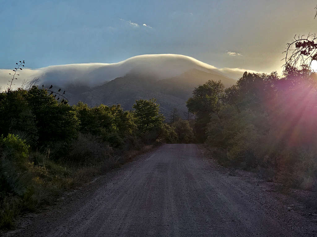
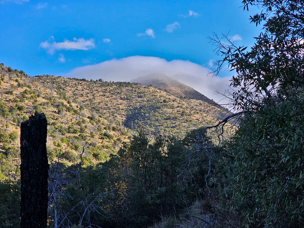
Turned my handheld GPS on and I could see on its tiny screen where I needed to go. Drove back and got on Pinery Canyon Road. As usual, I had left a map at the house with my wife detailing my path for climbing South Timber Mountain. Unfortunately, I did not have a cell phone connection to inform her of the change in plans. Was surprised to see clouds on top of the mountains in that dry environment.
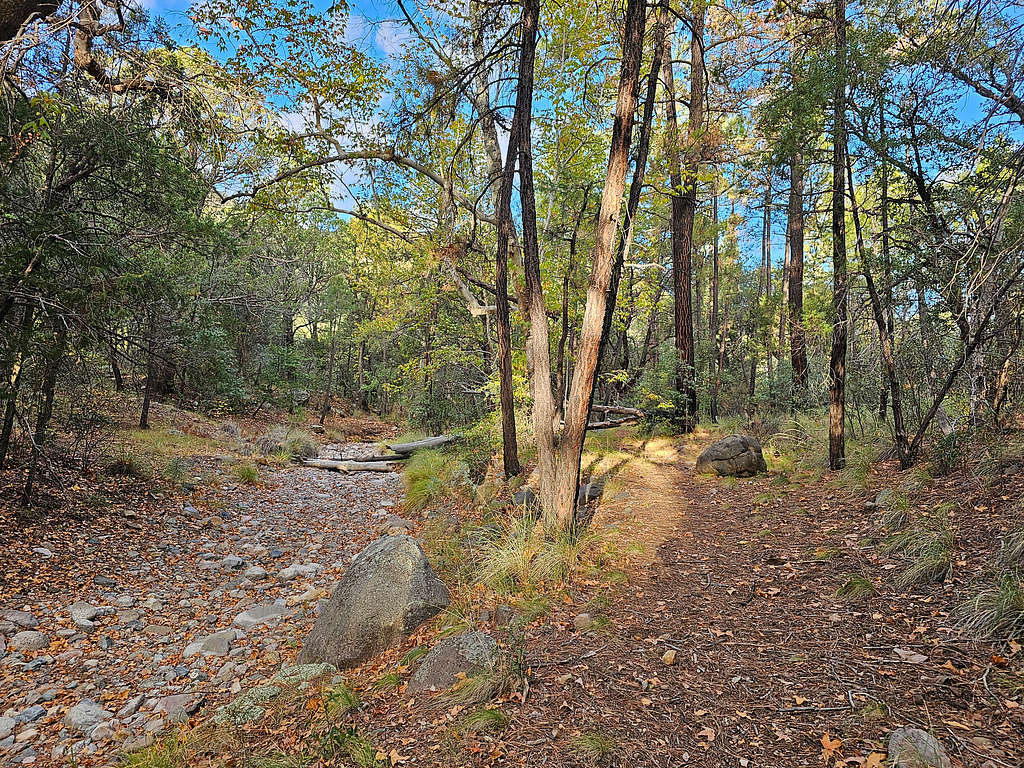
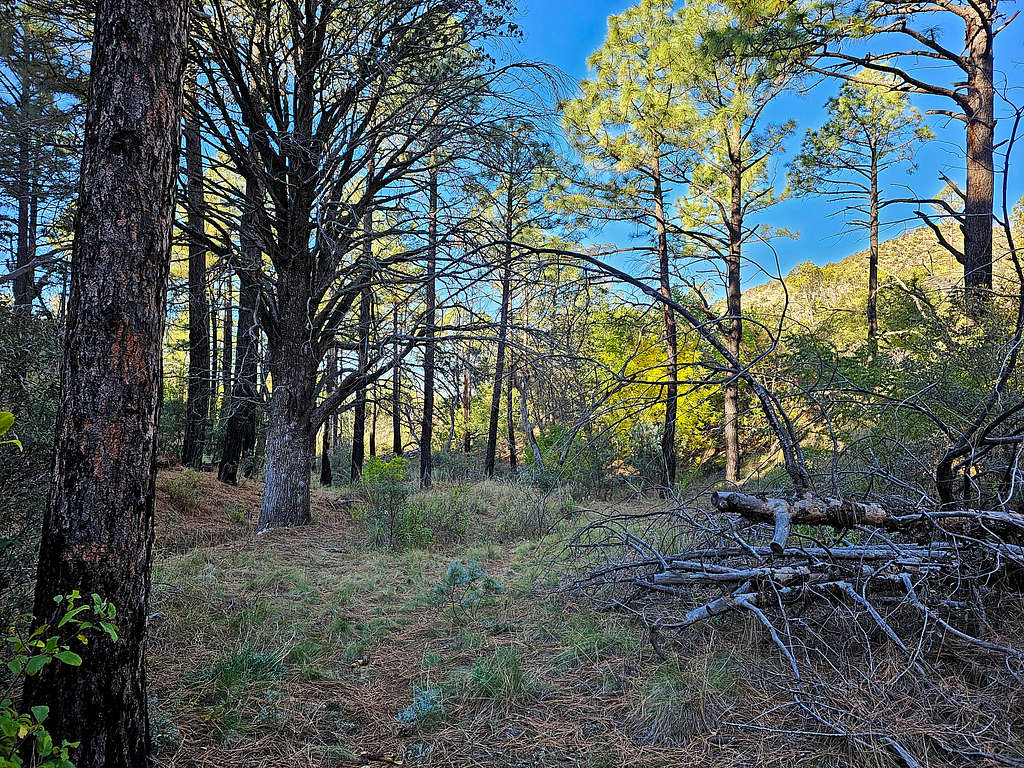
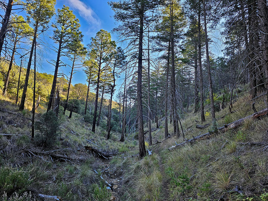
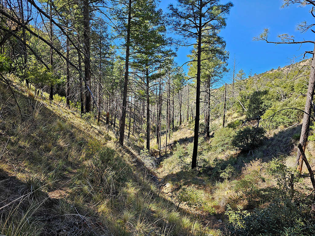
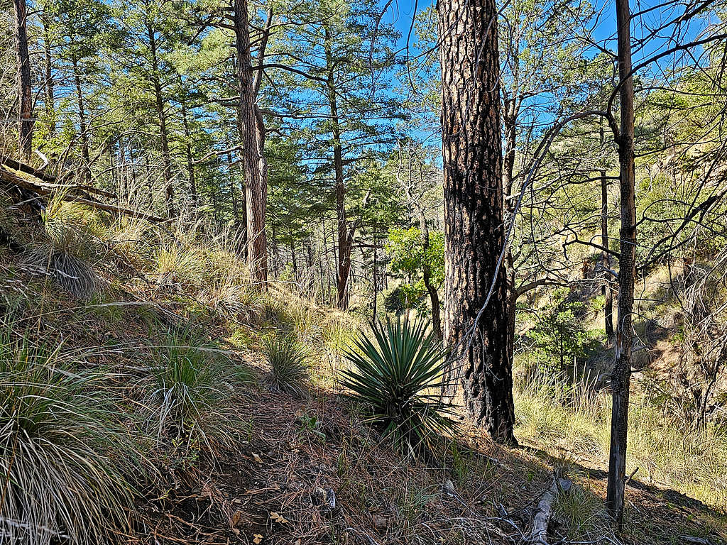
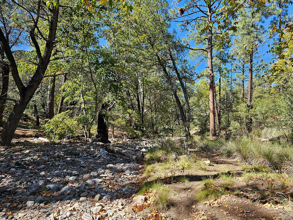
Started my hike at 7:35 AM, 5960 ft. I did not see any other people all day. The wind felt cold, so I had to wear my wool hat. The trail went parallel to a dry creek bed in a pretty forest.
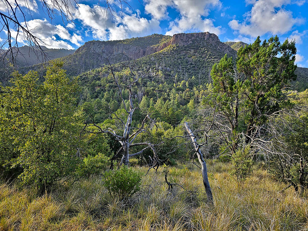
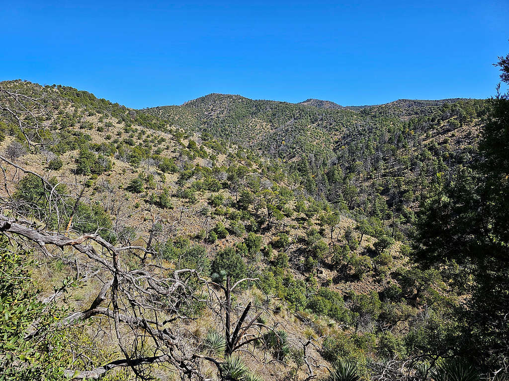
After 0.75 miles, the trail made a sharp turn and began to climb a slope. Looking south at the slopes of Ida and Barfoot Peaks.
Points 6709 and 6988 ft.
Ida and Barfoot Peaks.
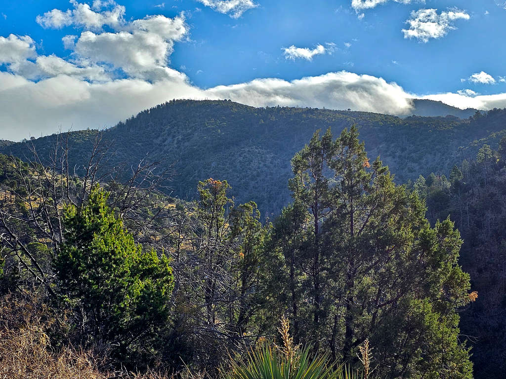
There were still clouds on top of the mountains. I was hoping that they would clear by the time I reached up there.
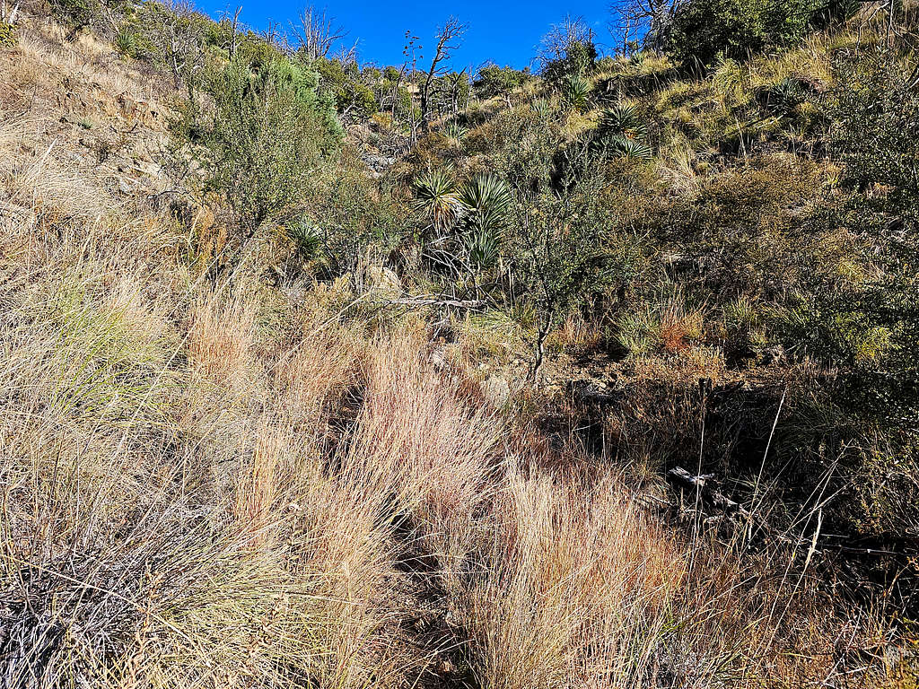
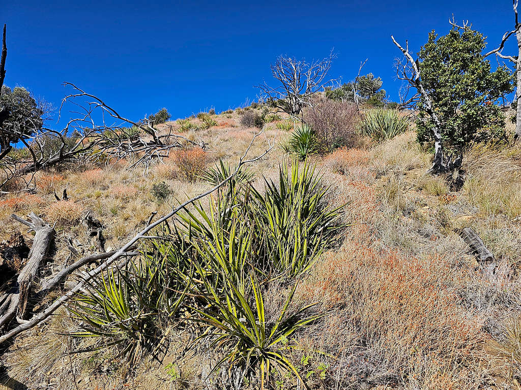
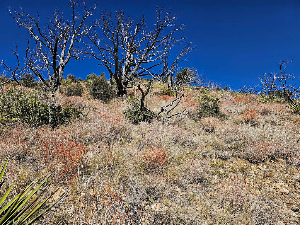
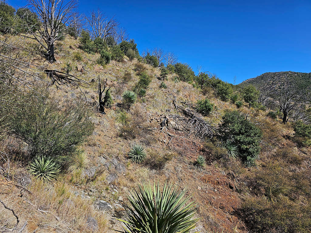
As I went higher on the south facing slope, the forest went away. Yellow grass and thorny plants appeared.
Ida Peak again.
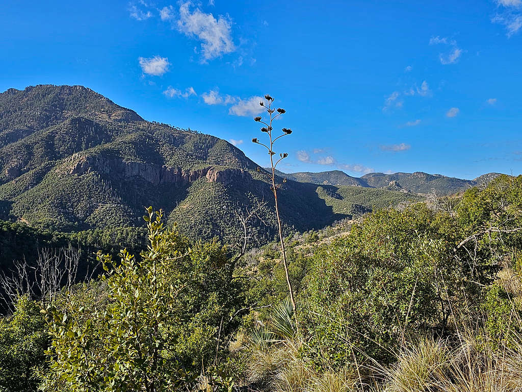
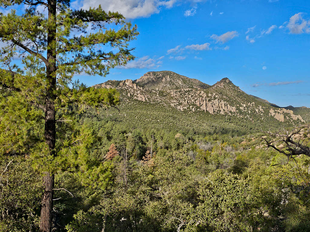
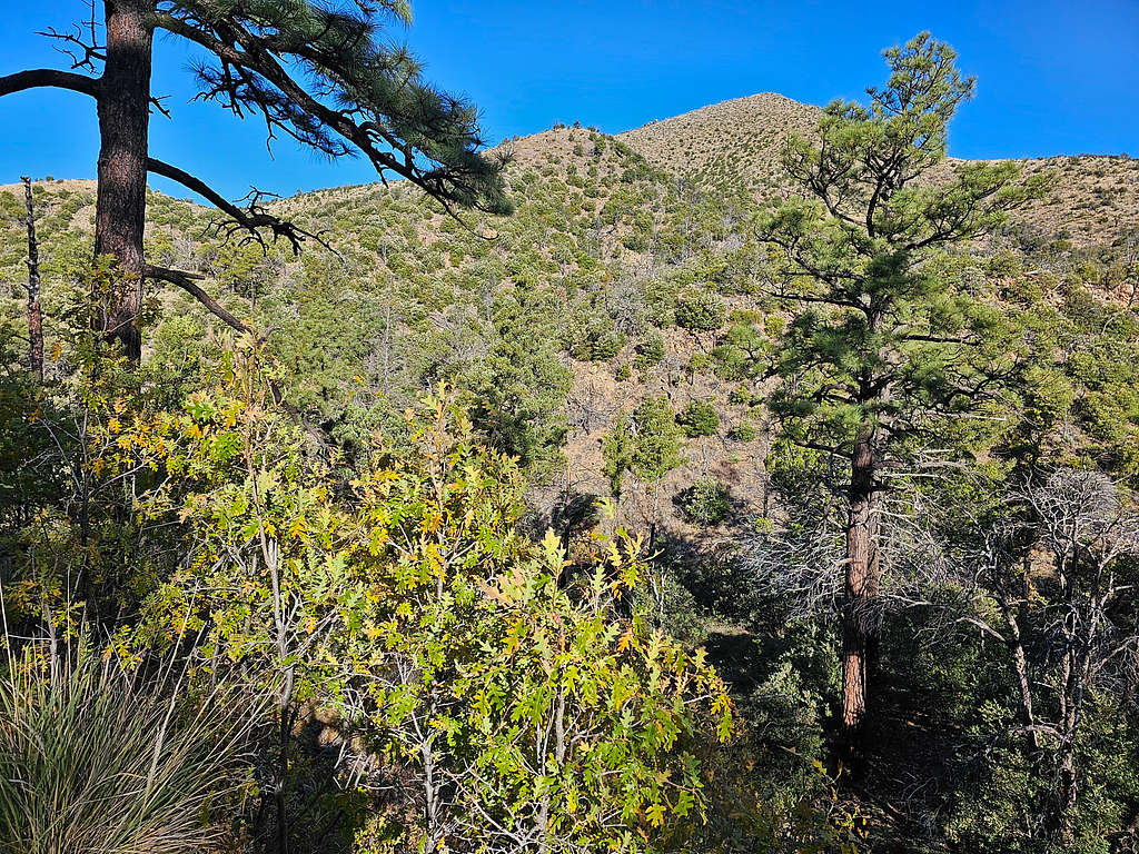
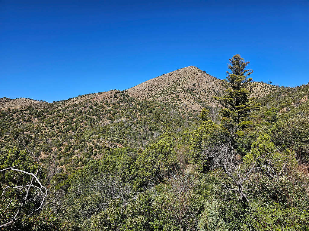
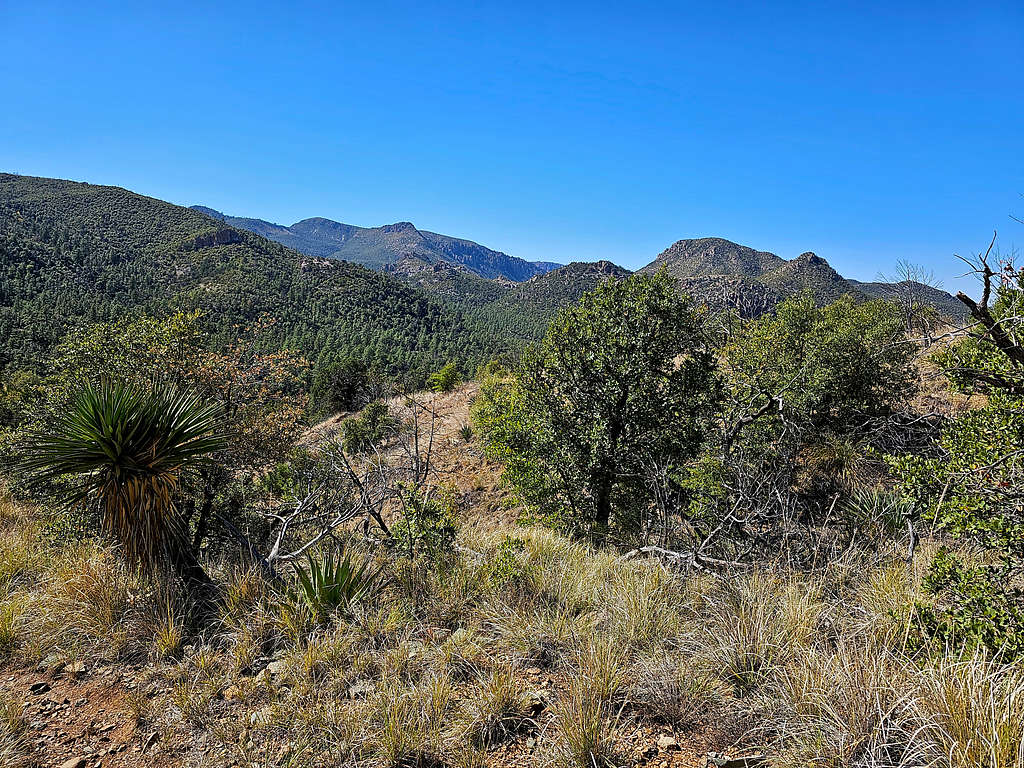
At 1.7 miles, I was at a 6680 ft saddle. The summit of Shaw Peak appeared. Clouds were lifting off it.
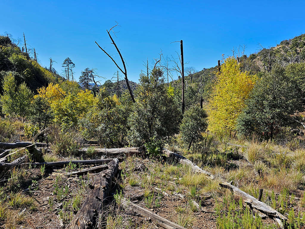
The trail then went down 70 vertical feet taking me into a cold shaded canyon where forest appeared again. For the next mile that I was in the canyon, I came across bear scat very frequently but fortunately did not see any bears.
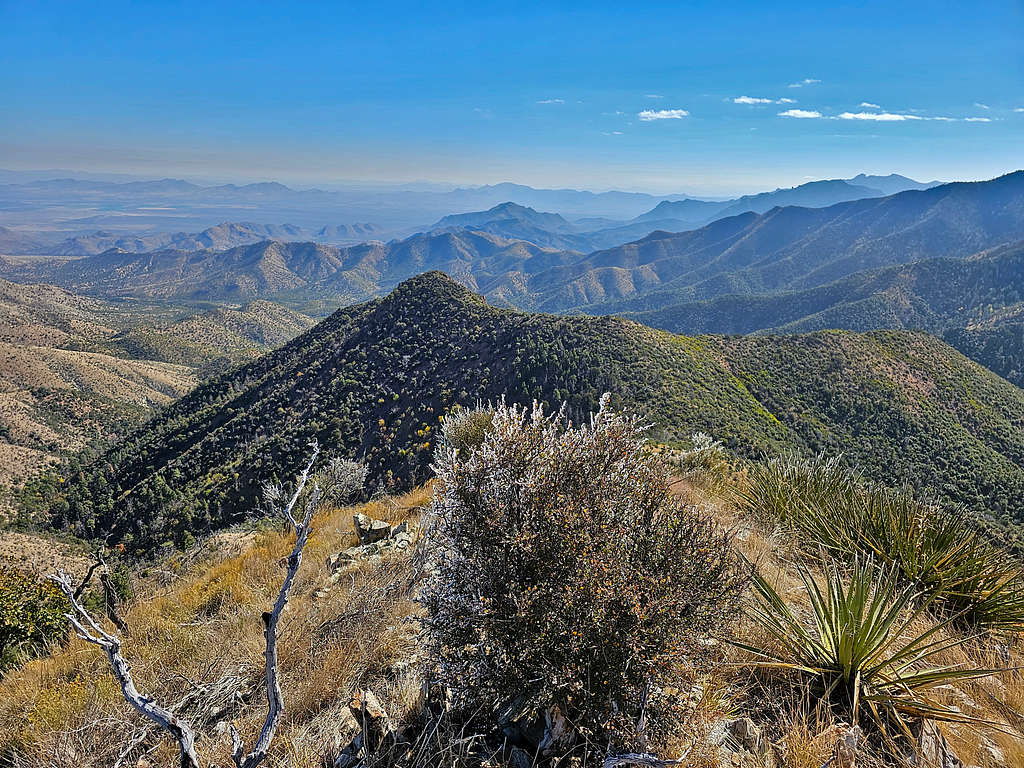
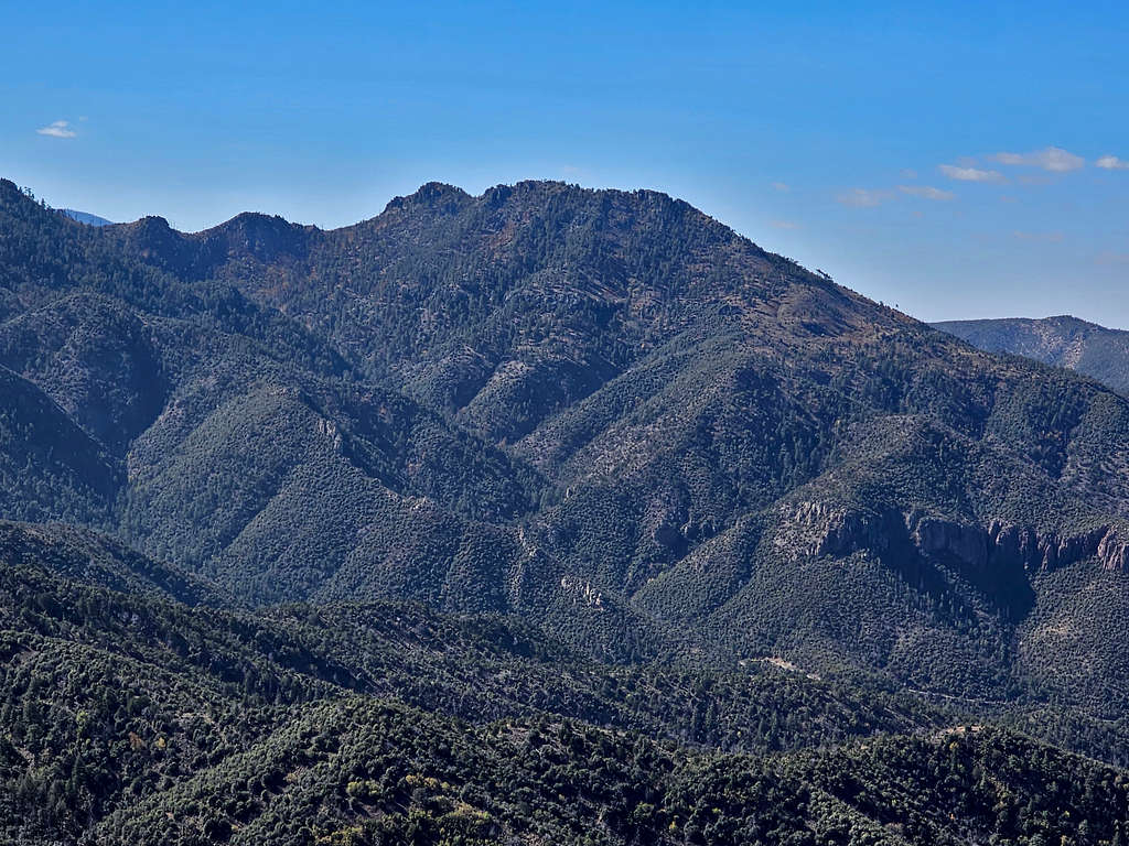
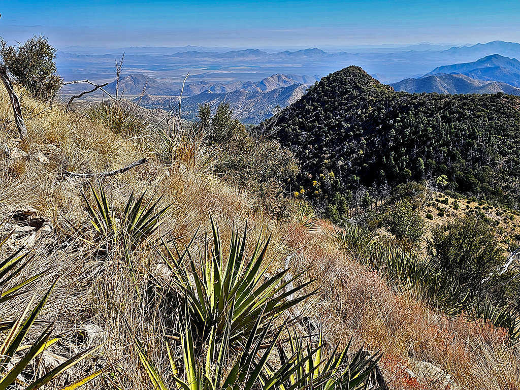
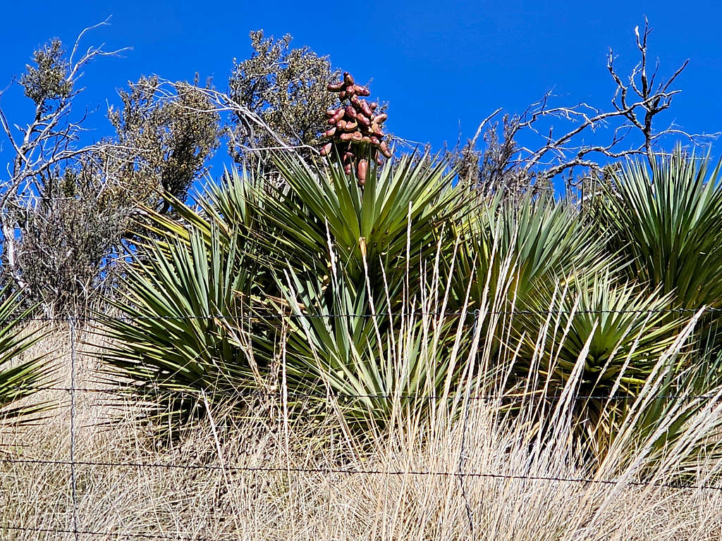
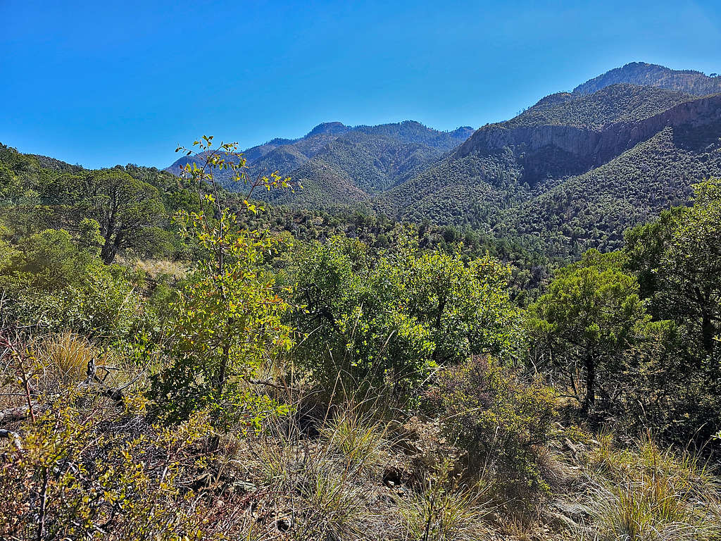
Summit of Shaw Peak.
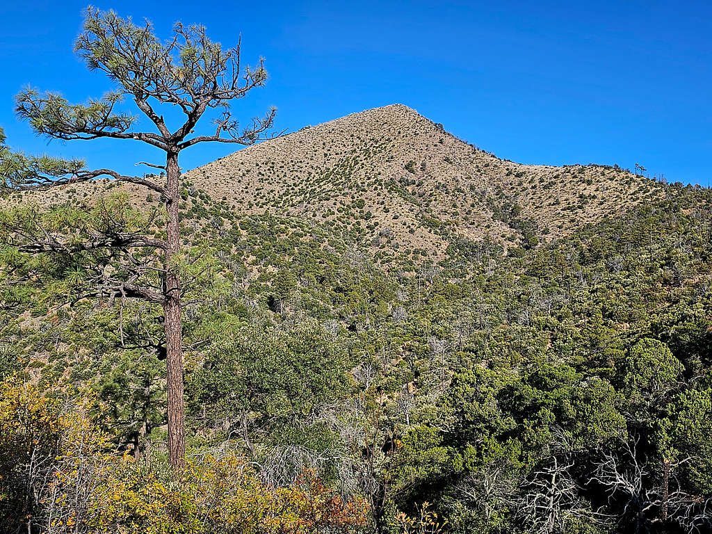
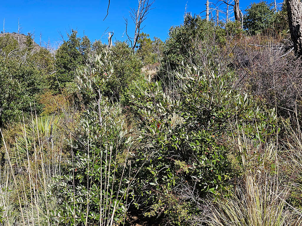
At 9:05 AM, 2.87 miles and 7060 ft, I reached the Jhus Horse Saddle. Straight went down the other side, right went south and left north toward Shaw Peak. I turned left to go toward Shaw Peak, but the area was very overgrown. A barbed wire fence went parallel to the direction that I was going. I thought that the trail might have been on the other side of the fence. Went a short distance back to the saddle and got on the other side of the fence but there was no sign of any trail there. Back to the first side, I began to whack my way through the bushes, some of which were thorny. Good thing I had the correct path in my GPS. Was also afraid of stepping on snakes that might be hiding below the bush but did not see any. View of summit again.
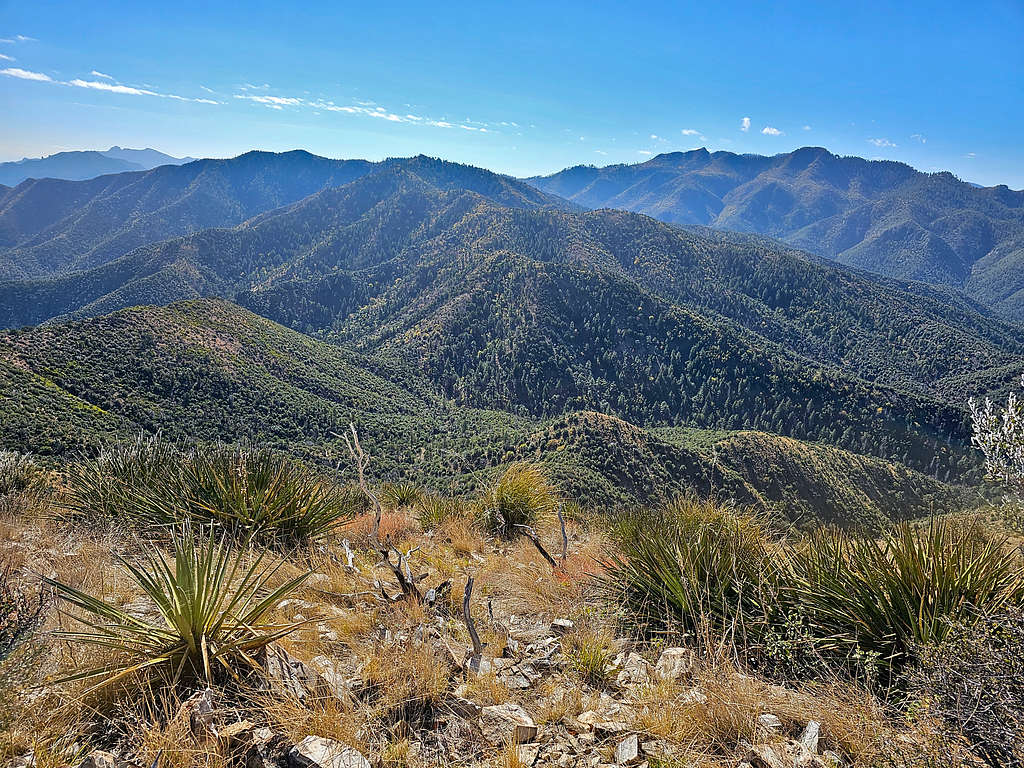
For the next half a mile, sometimes remnants of a trail appeared and at other times I was whacking my way. The darn wire fence also continued. At around 7440 ft, I reached the base of the summit. Left the trail and got on steep grassy slopes that no longer required bushwhacking going toward the summit. Noted that I had cell phone connection. Called my wife and let her know where I was. That made me feel better.
At 10:06 AM, 3.82 miles and 7800 ft, I was on the summit. It remained very windy.
Looking northeast. Point 7672 ft seen on the left.
Looking east. Point 7442 ft left of center.
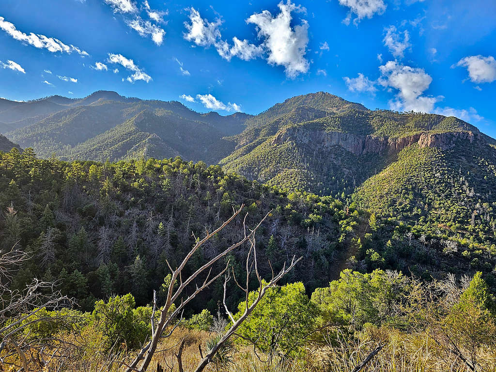
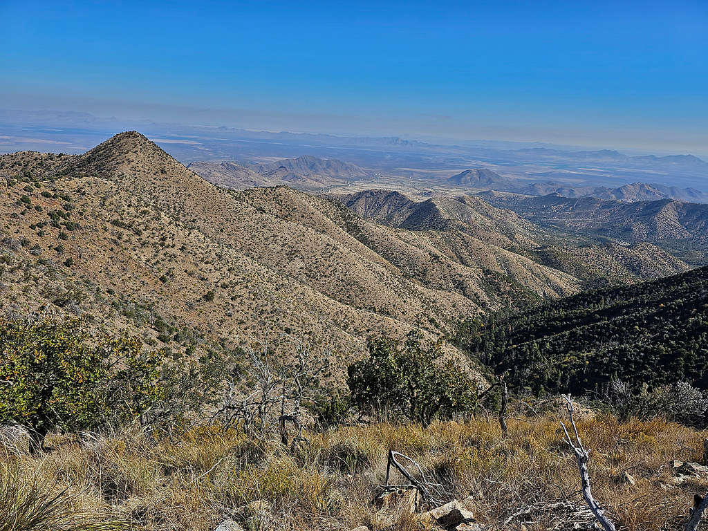
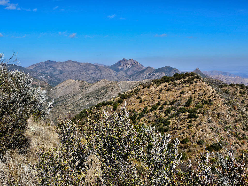
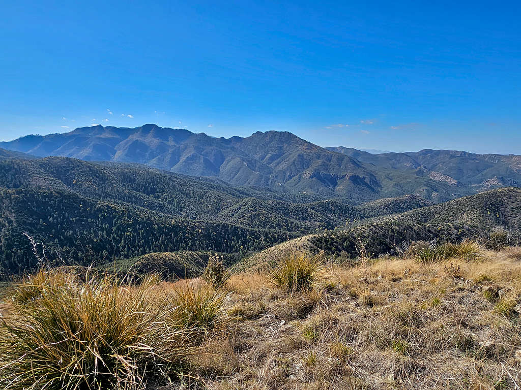
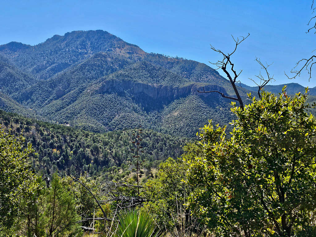
Looking southeast. Buena Vista and Barfoot Peak on the right. The close Point 8022 ft left on center.
Looking north at the jagged Cochise Head and the horn of Maverick Peak. South Timber Mountain that I had originally planned to climb is seen on the left.
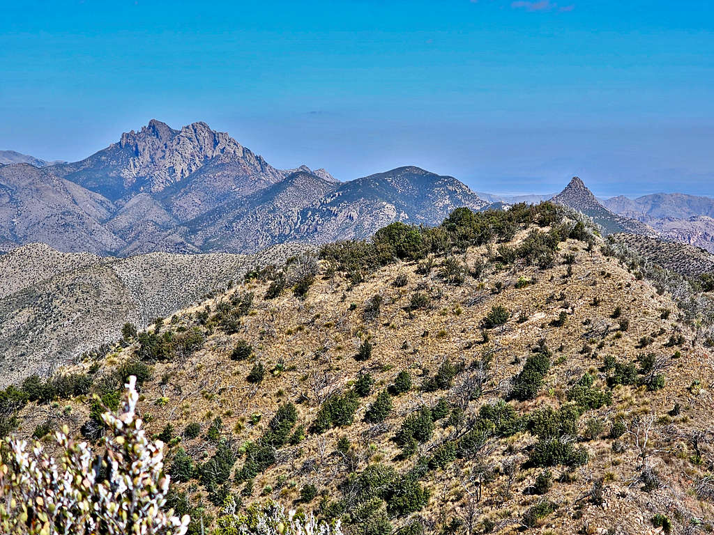
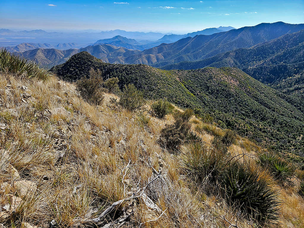
Looking south at Buena Vista, Barfoot and Ida Peaks.
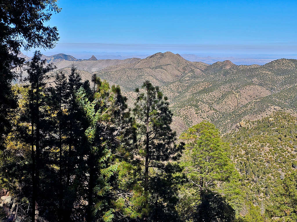
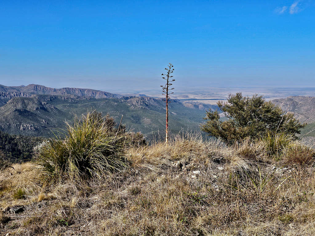
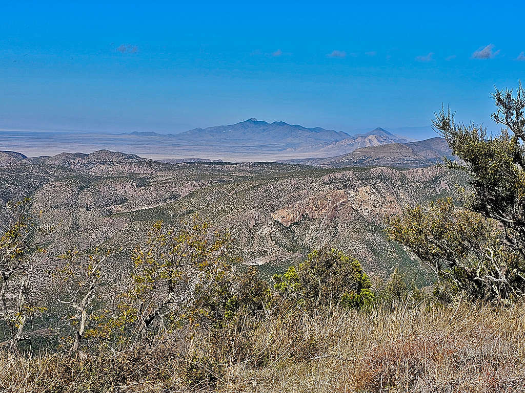
Plains to the southwest.
Dos Cabezas Peaks to the northwest.
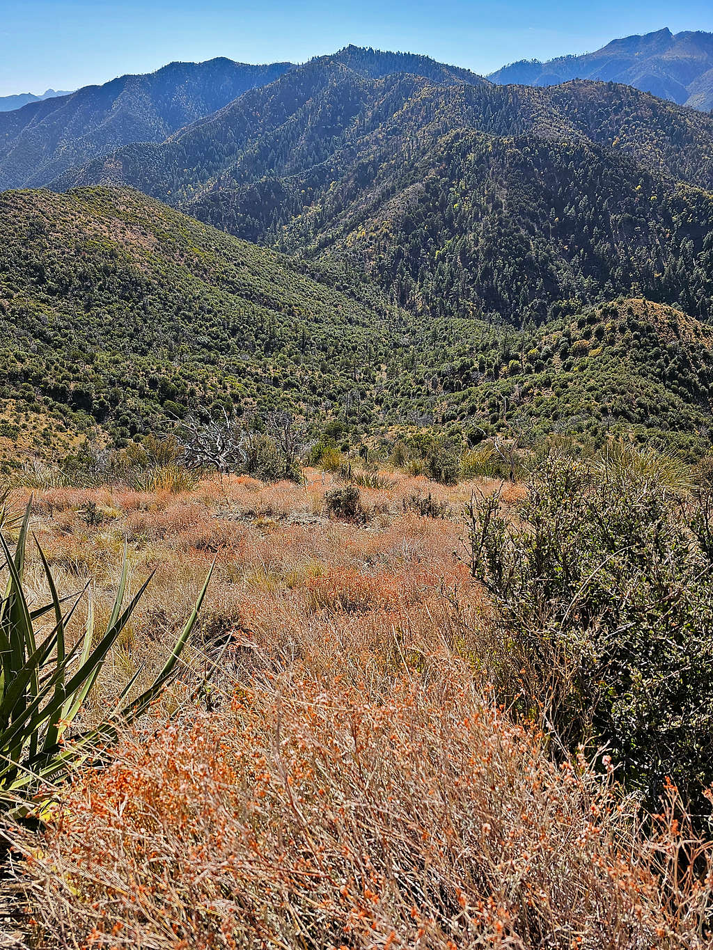
After eating and enjoying the views, I left at 10:30 retracing my way back. Note the difference between the desert-like south facing slopes and the forested north facing ones.
I then reached the overgrown trail and the fence. Bushwhacking started again.
Jhus Horse Saddle at 4.7 miles and 11:30 AM. Finally, back on good trail with no more bushwhacking.
In the forested canyon again.
Not looking at my GPS, I went a little too far down the canyon. Went up a slope and reached the trail that exited the canyon. View of Ida Peak.
The more arid slopes.
Points 6709 ft and 6988 ft.
Barfoot and Ida Peaks again.
Back along the dry Pinery Creek.
Red Tape
Day hikes require no permits or fees.
When to Climb
Summer can be very hot and is the rainy season. Spring and fall are the bets times.