
|
|
Route |
|---|---|
|
|
38.28620°N / 119.6512°W |
|
|
Hike |
|
|
Most of a day |
|
|
Walk-up |
|
|
Approach
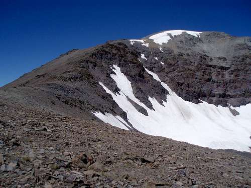
Start at the PCT Trailhead at Sonora Pass. Take the PCT south as it climbs to the crest and goes along the west slopes of the first two peaks until it reaches a saddle which is over three miles from the trailhead. The north ridge of Latopie Peak is directly ahead. The PCT then drops down to the left and goes along below the northeast face of Latopie Peak until it reaches a pass (10,800') about 3/4 miles further. Continue on over the pass above Latopie Lake as it goes down to the right for half a mile. The PCT turns to the left towards the base of the southeast ridge. The trail then turns right again. Follow the PCT for a little over 100 yards and get off the PCT before it turns back to the left. This is a little over 5 miles from the trailhead.
One can go up and over Pacific Crest Peak along the way with additional gain, but not additional distance.
Route Description
Once at the base of the SE Ridge, there is a use trail that moves off the PCT for about 0.25 miles heading straight for the east face of the peak and then turns left up onto the SE ridge. Once on the ridge continue to follow the use trail to the summit. The summit is rather large and flat. Look for the summit log in an ammo canister under some rocks toward the east side of the summit area.
The total distance round trip is 11.5 miles, gaining over 2,400' on the way to the summit, and another 400' on the way back. Add another 400' with no additional distance if hiking over Pacific Crest Peak.
 |
Essential Gear
Essential gear includes just a day pack with food, water and appropriate clothing for the summit weather. Early season hikes may require an ice axe and crampons; however, this route isn't recommended in those conditions.