
-
 22814 Hits
-
 77.09% Score
-
 8 Votes
|
|
Route |
|---|---|
|
|
48.33960°N / 121.0539°W |
|
|
Mountaineering |
|
|
Summer |
|
|
Most of a day |
|
|
Unmarked alpine trek, glaciers |
|
|
Overview
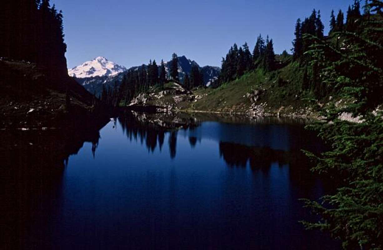
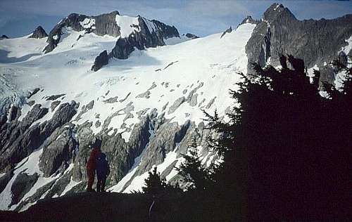 Looking
from White Rock Lakes to Spire Pass, just right of center, where
we'll cross the Crest and descend to Cub Lake.
Looking
from White Rock Lakes to Spire Pass, just right of center, where
we'll cross the Crest and descend to Cub Lake.
Getting There
The five “routes” of the Ptarmigan Traverse are the stages of this multi-day trek. The approach to Stage 4 is Stage 3. Unless you do them in the other direction.Route Description
From the S side of the largest of the White Rock Lakes (6194 feet), go southerly, descending to about 5800 feet to circumvent a buttress...
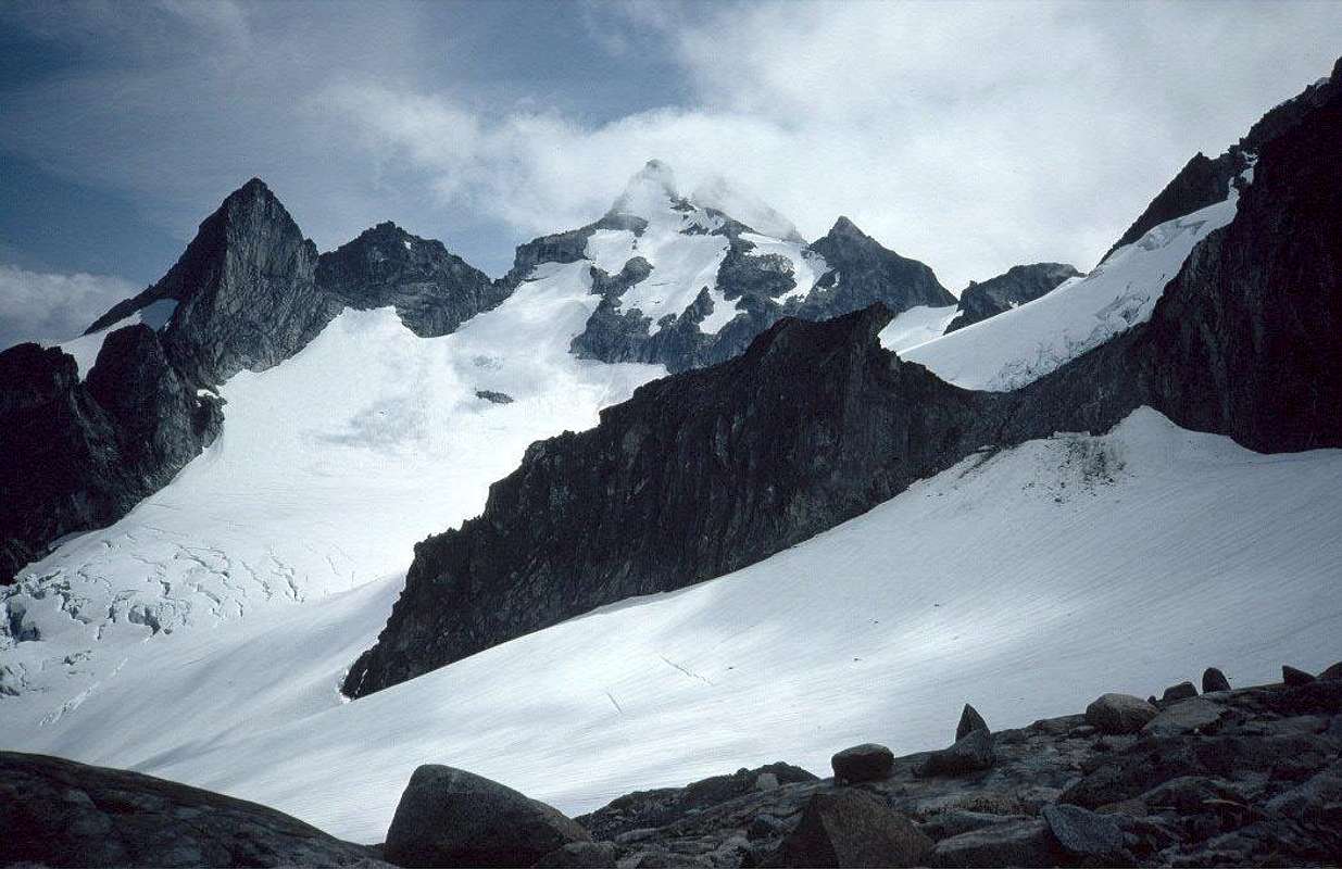
 Looking
back to snow-covered White Rock Lakes from the lower Dana Glacier. We
passed under the rock rib in the middle distance. Go above it to the
crest if you want to climb German Helmet, shown here poking into the
clouds.
Looking
back to snow-covered White Rock Lakes from the lower Dana Glacier. We
passed under the rock rib in the middle distance. Go above it to the
crest if you want to climb German Helmet, shown here poking into the
clouds.
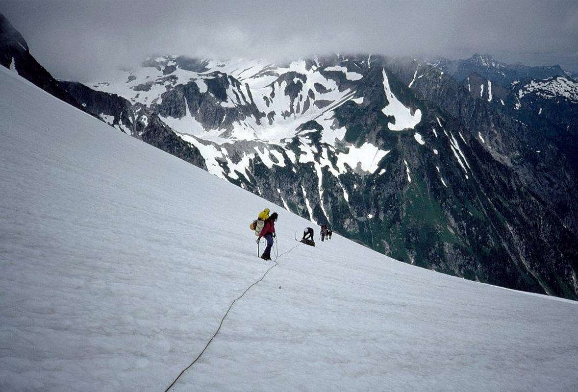
...then climb diagonally WSW to about 6200 feet before turning S. Traverse, climbing gently at first, then more steeply up the Dana Glacier...
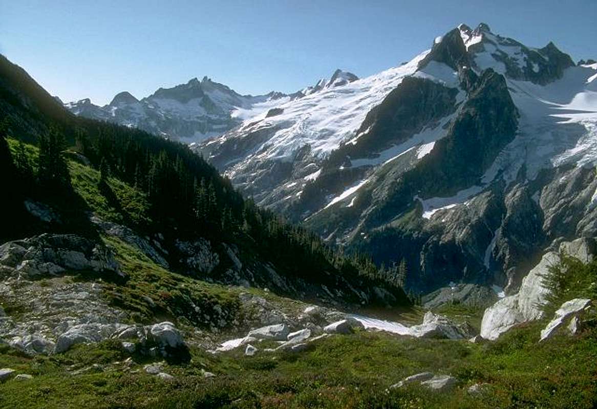
 Elephant
Head (left) and Overdrive Tower (highest) from bare rocks showing
through the Dana Glacier at 7,000 feet as we approach Spire Pass.
Elephant
Head (left) and Overdrive Tower (highest) from bare rocks showing
through the Dana Glacier at 7,000 feet as we approach Spire Pass.
 A
last look back across the cirque to White Rock Lakes, where we'd left
camp that morning.
A
last look back across the cirque to White Rock Lakes, where we'd left
camp that morning.
...to the broad 7800-foot pass just SE of Spire Point. (Or detour to the NE ridge of Spire for a short, enjoyable climb.) The pass is a low saddle of rubbly rock.
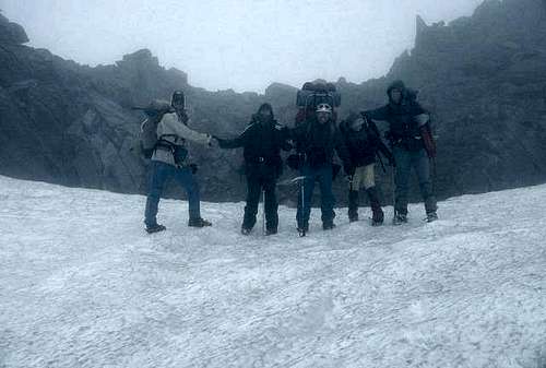 Arriving
at Spire Pass - rfbolton
Arriving
at Spire Pass - rfbolton
The descent SW from Spire Pass looks pretty steep on the map, but we found it surprisingly easy, with long glissades connected by easy loping down snow to bypass the occassional obstacle.
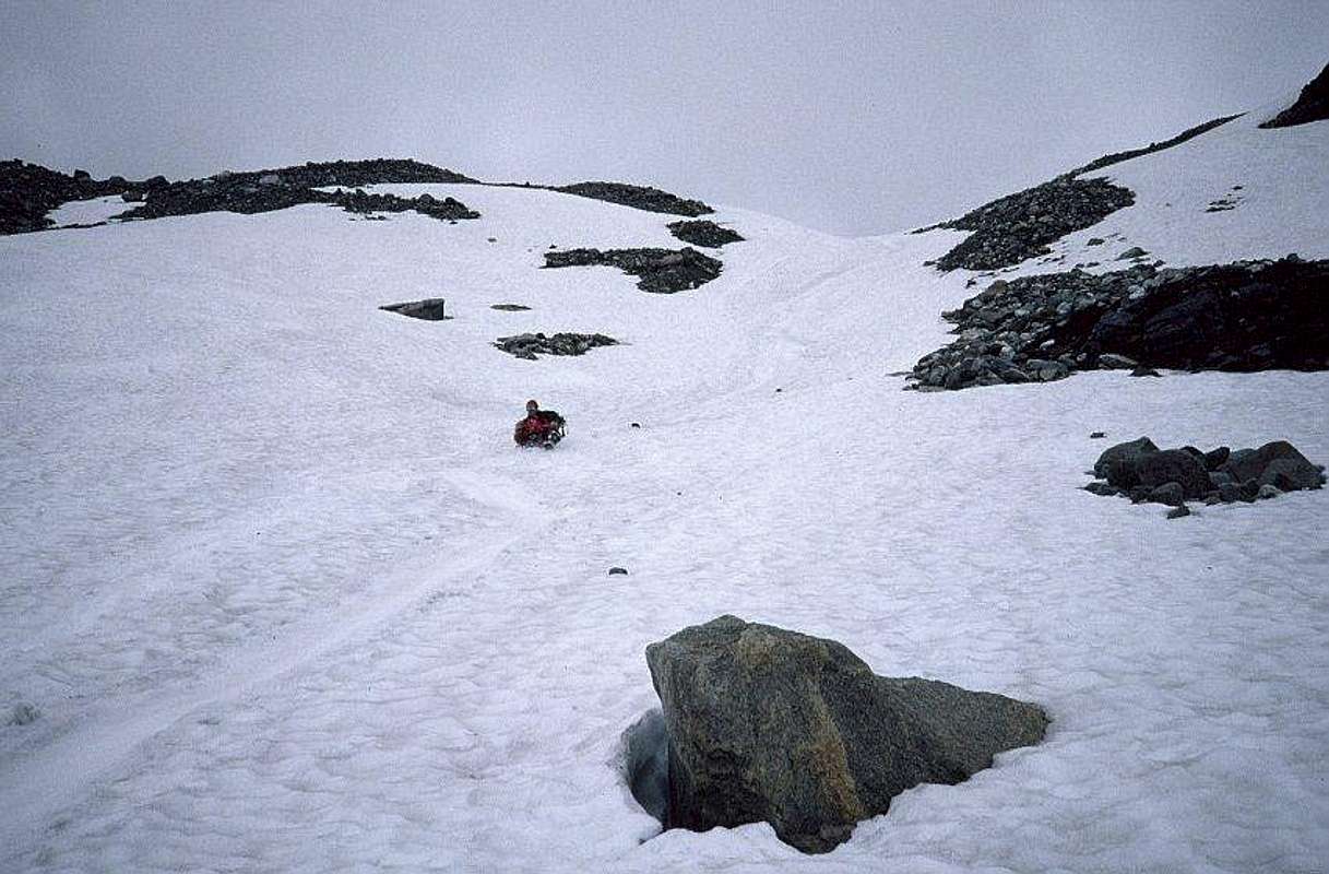
Don't make a beeline for Cub Lake; there are some significant cliffs in the way. Bear left of them and pick up the trail that skirts the N end of Cub Lake if you're headed straight out. (In August, 1991 we found enough snow for about 1000 feet of glissading.)
 Heading
out past Cub Lake, looking past it to Dome Peak. People descending
from 7800-foot Spire Pass would be coming into this picture from the
top left. Itswoot Ridge crosses the photo in front of Dome. Note the
cliffs to avoid when descending from the Ptarmigan.
Heading
out past Cub Lake, looking past it to Dome Peak. People descending
from 7800-foot Spire Pass would be coming into this picture from the
top left. Itswoot Ridge crosses the photo in front of Dome. Note the
cliffs to avoid when descending from the Ptarmigan.
 Itswoot
Ridge camp. Glacier Peak in the background. Photo by Ragu.
Itswoot
Ridge camp. Glacier Peak in the background. Photo by Ragu.
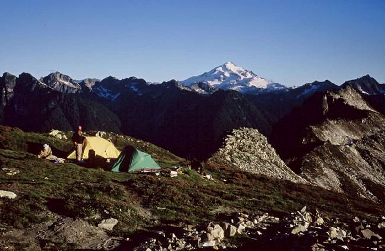
If you're going to climb Dome Peak, (and Sinister and Gunsight) you'll probably want to camp on Itswoot Ridge, on your left as you head down from Spire Pass. There's water within reasonable range of the ridge sites. Cub and Itswoot Lakes are visible below, but the meadows around them have been overused, and camping there is discouraged. If you're headed out, there are camps on the ridge just beyond the Cub Lake.
 Glacier Peak from the trail around the N end of Cub Lake. - Ragu
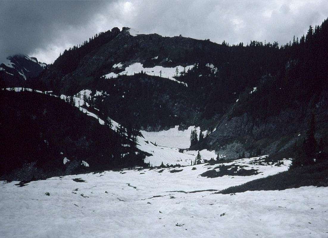
To head home, drop down to the E end of Cub lake, and catch the trail that hugs the N shore, then climbs up to the 5900-foot pass NW of the lake. Camp in forest here if the timing is right.
Essential Gear
See the Ptarmigan Traverse Main Page for the list of essential gear.Peaks to Tempt You
Peak 7510/German Helmet/White Rock Thumb
Spire Point
Peak 7560+/Marmot Back
Peak 7665/Marmot Head
Peak 7720+/Tenino Tower
Peak 7990/Elephant Head
Peak 8080+/Dynaflow Tower
Peak 8560+/Overdrive Tower
Peak 8775/Snow Dome
Peak 8440+/Hydramatic Spire
Sinister Peak
Peak 7880+/Blizzard Peak
Gunsight Peak [“Blue Mtn.” on the Agnes Mtn. quad map; Beckey's guide includes routes to four summits.]
If you thought there are no new mountains to add to SummitPost, think again.
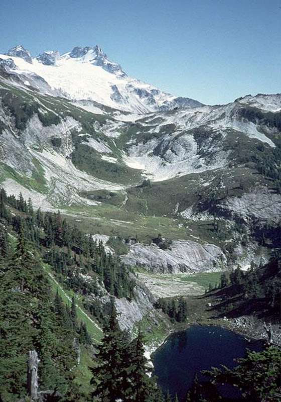
To climb Dome from Itswoot Ridge, traverse E about 2 miles across the Spire Creek cirque and up the Dome Glacier. Go through the pass about 1200 feet N of the summit and up the top of the Chickamin Glacier. See the Dome Peak page for details. Traverse the Chickamin Glacier E to reach Sinister and Gunsight.
From near White Rock Lakes, Dome Peak is mostly hidden behind the Elephant Head. On its left side is the broad and rugged Chickamin Glacier. Mostly hidden behind the glacier is Sinister Peak. Farther left is Gunsight Peak, called Blue Mountain on the USGS maps.